-
Posts
9,413 -
Joined
-
Last visited
Content Type
Profiles
Blogs
Forums
American Weather
Media Demo
Store
Gallery
Everything posted by LongBeachSurfFreak
-
Drove through some pretty serious flooding this morning on the cross island. The throgs neck ramp was closed. I also have some flooding on campus due to clogged drains (flower peddles) flood events are a dime a dozen now. I really need to upgrade our drainage systems. meanwhile upstate in to Vermont are getting crushed with snow. Looks like a Vermont trip is in the cards for this weekend.
-
That’s a great idea. Let’s keep those stupid trees from reproducing. All they do is soak up carbon dioxide anyway. The reality is this, the amount of trees removed on Long Island in the last two decades is tremendous. As a result pollen count is most certainly lower at your house then it was 20 years ago. Your just getting older and having increasing symptoms.
-
That’s epic! With all the open land the drifting will be incredible, 20’ house covering type stuff.
-

Snowiest place on earth
LongBeachSurfFreak replied to LongBeachSurfFreak's topic in Weather Forecasting and Discussion
Japan is up there for sure. They have events where it snows 100”. I just don’t think they have the kind of moisture feed you see in areas taking a jet right on the nose. -
Thoughts on the snowiest place on earth? Including mountains at any elevation. My choice would be Patagonia around 45 south coastal mountains, elevation 10,000’. Should average around 2,000” a year Other option. Coastal BC Canada mountains also in the 10,000’ range. Trying to maximize moisture and uplift.
-
18 mwn. So there is a plus cold above you
-
Rainfall rates are higher then what the radar suggests. Seems to be a common theme in tropical flow events. You get these small rain drops that do not show well on radar
-
Of course Sandy was on another level. Hence the 600 year reoccurrence rate. But it made landfall in New Jersey. I’m talking about a hurricane with an intact tropical center and that was Gloria. One thing that Sandy didn’t have was an eyewall with wind gusts over 100mph. When we have another carol or 38 the damage to the electrical grid is going to be a true disaster.
-
I have feeling we take a real hit this summer. Gloria in 85 was the last real hurricane to hit Long Island. We are more then due
-
Would have been a nice snow storm mid winter. Nothing historic but a solid warning event.
-
You wouldn’t want it to snow? Lots of elevation there, it’s a great late season snow spot
-
Frightening preview of things to come. some interesting wind obs last night on buoy 44025 gusting to 52 knots. I wonder what caused this wind burst. It was way out ahead of the front. 03 31 11:00 pm - 27.2 38.9 - - - - 29.51 - - 43.7 - - - - 03 31 10:50 pm - 29.1 36.9 12.1 9 6.5 S 29.51 - - 43.9 - - - - 03 31 10:40 pm - 29.1 48.6 - - - - 29.52 - - 43.9 - - - - 03 31 10:30 pm - 31.1 52.4 - - - - 29.51 - - 43.9 - - - - 03 31 10:20 pm - 29.1 44.7 - - - - 29.51 -
-
It’s way cleaner then even the 80s. Growing up at Jones Beach, we used to call the water Jones Beach brown. You would often come out of the water with tar on your skin. now, clean water days are the norm, and I can’t remember the last time we had tar
-
Since I work as a horticulturalist, extreme late fall and early spring blocking events and subsequent Arctic outbreaks are killer.
-
Can’t get any worse then this morning. Dead flowers everywhere. And not even a dusting. I did notice driving in this morning that the cross island was buried in salt just north of the lie. I’m talking insane amounts of salt. That’s great for the environment…..
-
Yep. It’s gruesome on my campus. I can take loosing the early season flowers, but some mid spring stuff was starting to pop that may be ruined too. I drove home from Vermont yesterday evening through some incredible snow squalls. Some areas had an inch or two then a few miles then nothing, this went on for 100 miles from Albany to just north of 84. I would love to see at least a dusting out of this Arctic mess
-
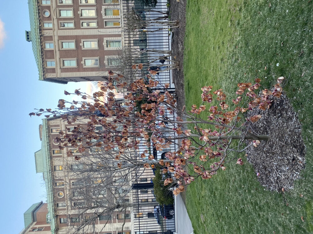
Unfortunately the magnolia flowers are toast. Some hardier early bulbs like daffodils can handle cold better. But tree based flowers will just burn and fall off. We have managed impressive Arctic outbreaks in both very early and very late season the last few years but mid winter has been more difficult.
-
Yup. I have tons of early flowers in bloom on campus. Most, like daffodils will handle it without being trashed. But our magnolia will loose it’s blooms. I’ll take the loss if we can at least pull a snow event and not waste the cold
-
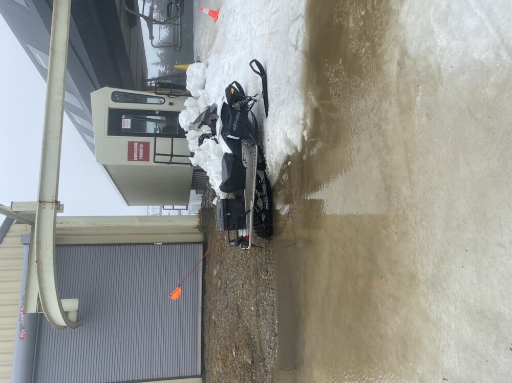
Had a great day yesterday at Stratton. What you expect for a warm April day. Wait it’s March. I can’t see the southern resorts having much more then a few trails open next weekend. Today’s things were getting dicey with water bars everywhere, mud and dirt sections and little natural left except deep shade areas. The pic is at the summit of ursa, not what you want to see
-
-
Agreed who would want to live in the flat portion of far northern Maine unless your a logger. Sw Maine mountains average similar snow with far superior scenery. And you aren’t an additional several hour drive from civilization.
-
Allot of it has to do with geography. The Delmarva is open to oceanic flow on a NE wind during most coastal storms limiting snow potential.


