

WxUSAF
-
Posts
28,422 -
Joined
-
Last visited
Content Type
Profiles
Blogs
Forums
American Weather
Media Demo
Store
Gallery
Everything posted by WxUSAF
-
GGEM also colder to start. Snow north of DC Monday afternoon.
-

January Storm Term Threat Discussions (Day 3 - Day 7)
WxUSAF replied to WxUSAF's topic in Mid Atlantic
#rightwherewewantit #northtrend -
Thermals are better. I think the farther NW surface low actually helps that by providing a little more room for the high pressure and confluence to push in and keep us colder with the WAA precip. But then GFS keeps that primary low going much longer than previously, which is not helpful.
-
The backside precip that is shown on the GFS and GEFS only hits us because of the track of the low. If it’s farther north then it’s over PA. We don’t need a ton of movement to get back to an all or mostly snow event. And we have time still, but I’d like to see it happen over the next 36-48 hours.
-
I hear that and you’re not entirely wrong. But we’re losing more ground each wobble then gaining back. 12z Eps shifted south on track but thermals were meh. 18z went the wrong way on both. Still wouldn’t be surprised if things trend toward a weaker more suppressed solution; but it hasn’t yet.
-
Despite what everyone here does, the utility of ensembles is not for the snow maps. It’s for track and strength of features. The track shifted south from 0z to 12z. Once we get the the point of sweating thermal profiles (12z Saturday runs probably), then you’re focusing on the operational model.
-
First Monday prediction: DCA: T of sleet @psuhoffman and @mappy: 7”
-
EPS mean definitely moved south with the Op. Really want that to continue. Wouldn’t take a lot to have the meat of the snow band through much of our area. Precip starts in under 100hrs...
-
Feb Long Range Discussion (Day 3 and beyond) - MERGED
WxUSAF replied to WinterWxLuvr's topic in Mid Atlantic
Going to unpin this temporarily as we have plenty to track within the next week. If any people really want to talk early February, this is the place. -
Stronger and farther west low could provide a better WAA thump. Weaker low to the south keeps us snow longer. Hopefully we have some flexibility to get SOME snow. If this storm amps up and moves north closer to game time, it would definitely be the outlier relative to the trend the last 3-4 weeks.
-
I think most of the area from DC on north gets a good WAA thump from 18-0z Monday per euro. Then mixy light precip mostly after. It definitely ticked south from 0z. I’d like another 50-100mi south over the next couple days in case the inevitable last minute north trend happens. Euro is still the farthest NW with the 850mb low.
-
Ukie sort of looks like the euro from what I can tell with a WAA snow thump, mix to dry spot. It’s my far the farthest NW of the guidance though. Pattern I’ve seen today so far is to better show cold air hanging on east of the Apps. Haven’t diagnosed if that’s due to better CAD or reflecting dynamical cooling as precip starts or both.
-
Pinger party. Main low farther north and stronger vs 0z.
-
January Storm Term Threat Discussions (Day 3 - Day 7)
WxUSAF replied to WxUSAF's topic in Mid Atlantic
Welcome to the party GFS -
January Storm Term Threat Discussions (Day 3 - Day 7)
WxUSAF replied to WxUSAF's topic in Mid Atlantic
Bleh. Good things it’s five days out still. -
Feb Long Range Discussion (Day 3 and beyond) - MERGED
WxUSAF replied to WinterWxLuvr's topic in Mid Atlantic
SUCK IT BAHSTAN -
lol high of 45F at BWI today. This was the "cold" day for the week. 4F above normal.
-
Feb Long Range Discussion (Day 3 and beyond) - MERGED
WxUSAF replied to WinterWxLuvr's topic in Mid Atlantic
Trend is our friend?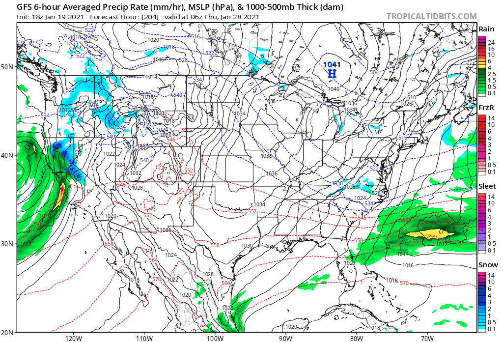
-
Feb Long Range Discussion (Day 3 and beyond) - MERGED
WxUSAF replied to WinterWxLuvr's topic in Mid Atlantic
EPS mean gives me like 10” through the end of next week lol. I’ll take that. -
January Storm Term Threat Discussions (Day 3 - Day 7)
WxUSAF replied to WxUSAF's topic in Mid Atlantic
5” thump to mix to dryslot? I’d hit that. Interesting that this starts late Monday morning on the euro now. Speeding up. -
January Storm Term Threat Discussions (Day 3 - Day 7)
WxUSAF replied to WxUSAF's topic in Mid Atlantic
850mb low is like 300-400mi north of the 0z position at 132hrs. -
Flurries at the inauguration!
-
Temp already up to 42. This was looking like a mid 30s days just like 48 hours ago. No cold air.
-
January Storm Term Threat Discussions (Day 3 - Day 7)
WxUSAF replied to WxUSAF's topic in Mid Atlantic
I agree. 6z EPS mean is farther north than 0z, but it's a pretty small bump for 5-6 days out. -
January Storm Term Threat Discussions (Day 3 - Day 7)
WxUSAF replied to WxUSAF's topic in Mid Atlantic


