WxUSAF
-
Posts
28,700 -
Joined
-
Last visited
Content Type
Profiles
Blogs
Forums
American Weather
Media Demo
Store
Gallery
Everything posted by WxUSAF
-
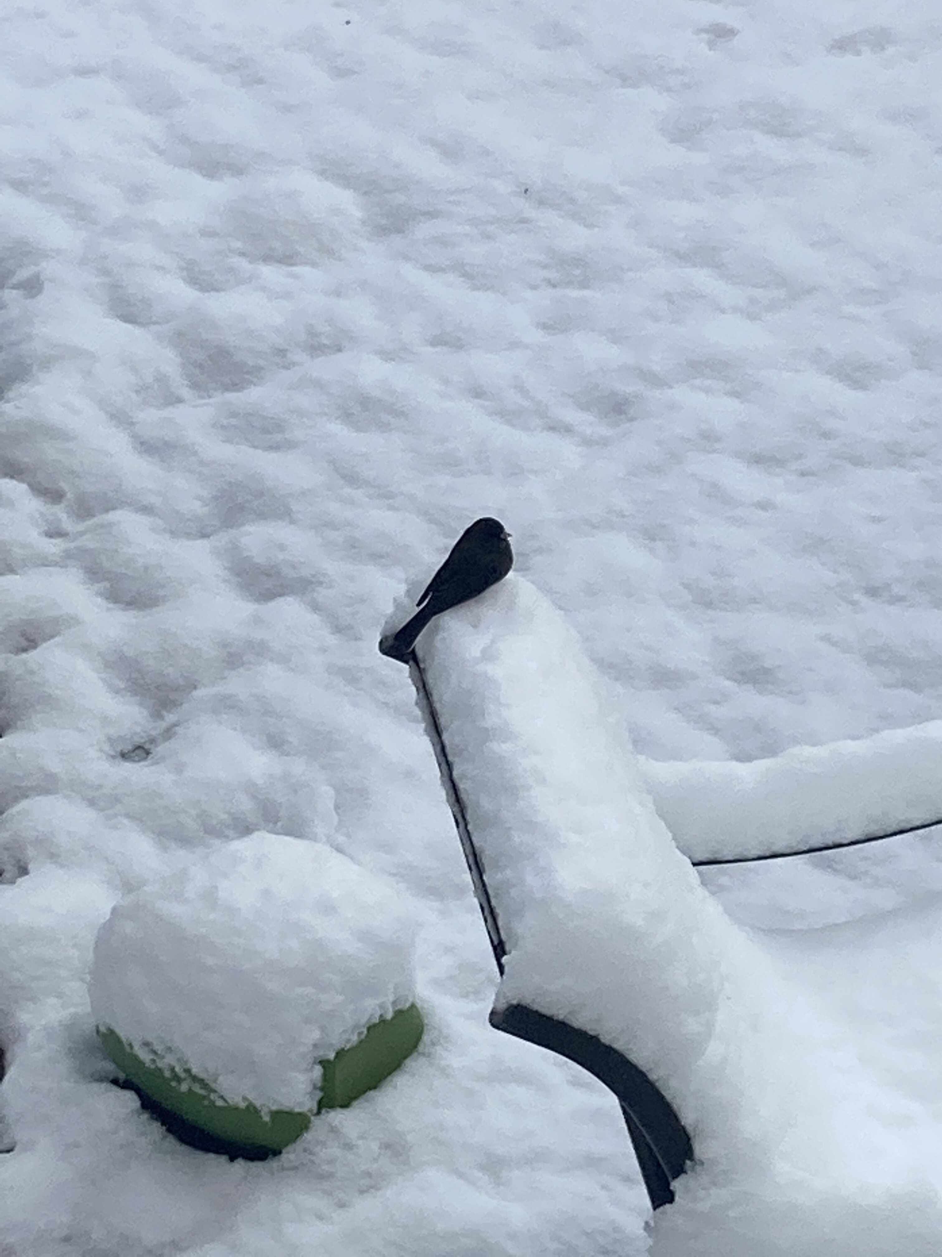
Monday’s snow stuck to my solar panels more than any snowfall in the last 5 winters since I got them. 0 power since Sunday.
-

Mid-Atlantic winter 2021-22 snowfall contest
WxUSAF replied to AnEndlessMaze's topic in Mid Atlantic
Hmmm…very puzzling. BWI climate report still says 6.0” on the LWX webpage. -
DCA revised up to 2.7”
-
Mid-Atlantic winter 2021-22 snowfall contest
WxUSAF replied to AnEndlessMaze's topic in Mid Atlantic
Check into BWIs total. Think they revised downward on Monday. -
I empathize with the Monday miss but today was a lucky low end warning/high end advisory snow. Northern stream Miller B that we got that? Gravy. Boston cleans up on those, we usually lose.
-
These two events were perfect in a lot of ways. Didn’t really give them any significance until about 48-72 hours, low emotional investment going in, then both overperformed IMBY. Wonderful.
-
Midnight high of 34, daytime high of 29, low today will be whatever it gets to at midnight. Currently 26.
-
Yeah perhaps. A bit of even-ing out. Jan 2019 was the last luck DC has had for sure with the mesoscale band adding several more inches at the end of the storm. I caught that band as well, but it stopped literally a couple miles to my east. Last year was a hair's breadth from being really great for the whole region, we had the storms, but couldn't get or keep a "good enough" airmass to save our lives. Hence 5-6" at DCA, 17" for me, and like 50" for you.
-
^nice. 10.7" at the closest to me and I measured 10.8".
-
Agree. As you've said many times, a lot of our snowfall comes down to luck. The pattern this week was "decent", but not spectacular, with "decent" cold air, but far from arctic air masses. And we scored twice with advisory/warning level events. That's some solid luck. Just some normal luck for the rest of the month with the pattern being as good as advertised and we could end up with a very special and memorable winter period.
-
@TerpWeather made a nice map that shows it
-
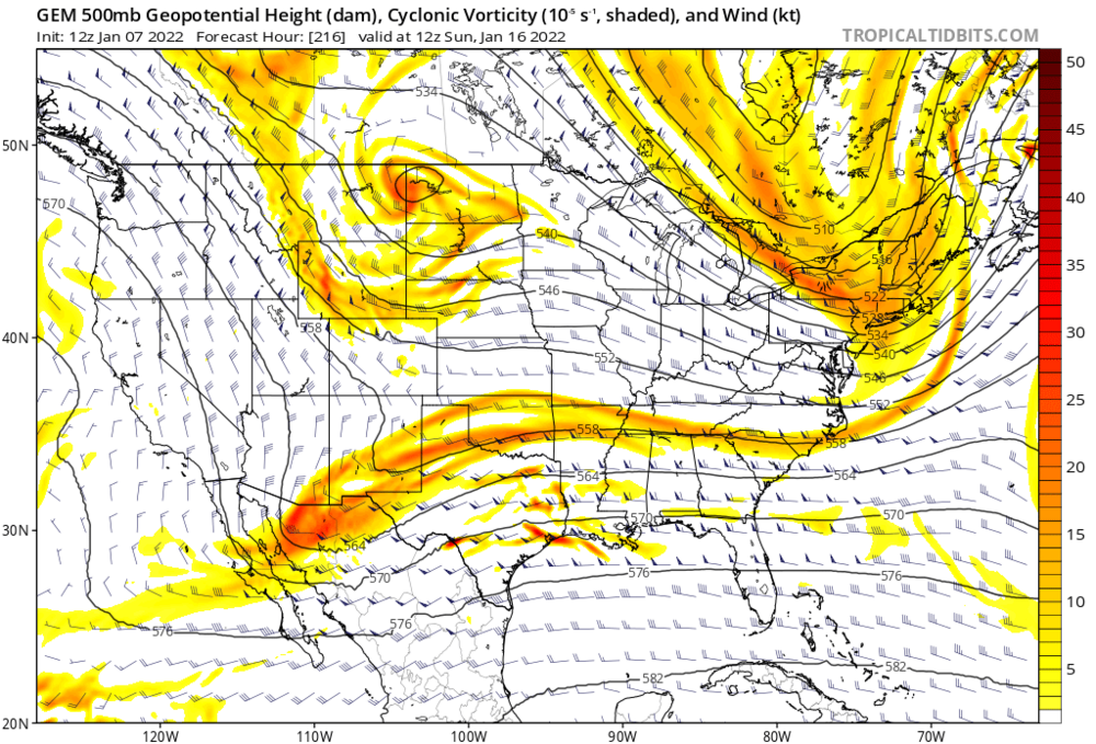
Yes. That was a beautiful evolution to what would have been a major east coast storm. Can see the two separate shortwaves out west here 24hours before that map posted above:
-
There still was a bit of a middle finger/screw zone last night, its just the ratios filled it in somewhat. NE MD (Cecil county) and northern DE had 2.5-3.5" while places at their same latitude to both the west and east did better. The comparable amounts down the west shore of the Bay into DC may have been part of that as well.
-
https://forecast.weather.gov/product.php?site=NWS&product=PNS&issuedby=LWX
-
Mid-Atlantic forum winter 2021/22 snow totals thread
WxUSAF replied to North Balti Zen's topic in Mid Atlantic
1/7: 4.5" Season to date: 10.8" -
Snomicron is coming for us all
-
It is. But that’s what I see in the monthly climo report and has been that way since Tuesday.
-
So 14-15:1 ratios. Much higher than normal for us. On a related note, did you see BWI apparently revised their Monday total down to 6.0”??
-
Good info. Only 0.2” at BWI, wow. And I think they reported 3” even?
-
Clearly. Watched the radar loop. That band meant business and I’m guessing we did get some really nice ratios as expected/hoped.
-
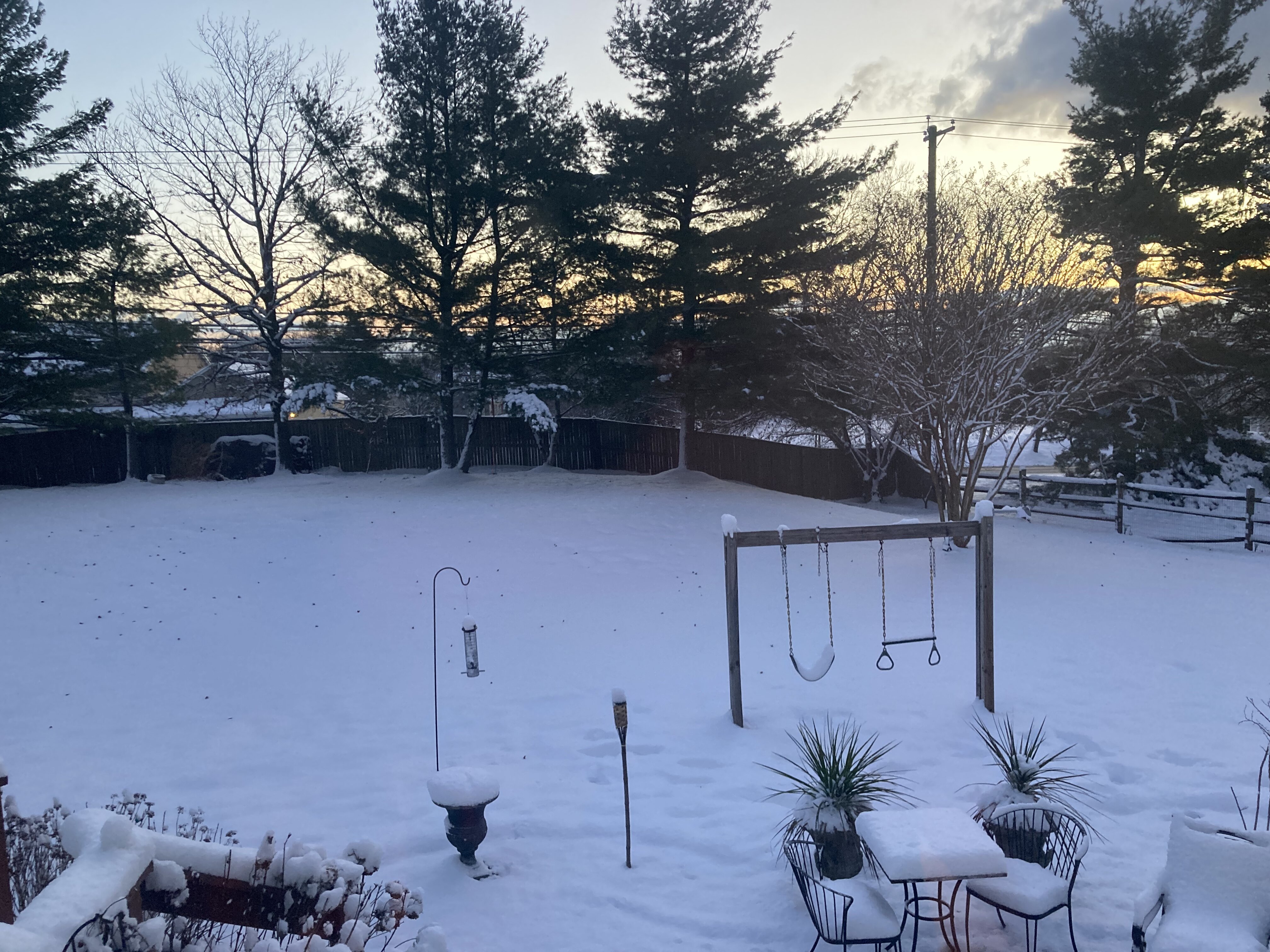
Good morning! Just measured a stunning 4.5” of powder!!! WTF!?! Did a measurement on the car top just to confirm because I couldn’t believe it at first lol. Looks like I slept through some serious fun. All hail King GFS!!
-
I love everyone rediscovering radar physics every time it snows!
-
I'd really just prefer if you can drop that purple 3-6" line about 10mi southeast. TIA!