weatherwiz
-
Posts
81,083 -
Joined
-
Last visited
Content Type
Profiles
Blogs
Forums
American Weather
Media Demo
Store
Gallery
Everything posted by weatherwiz
-
I didn't look at the AI's. I have not been particularly impressed with them lately. That seems extremely overstated to me
-
Doesn't really seem like a cool(er) look to me, outside of perhaps any post fropa but we probably go right back to above average
-
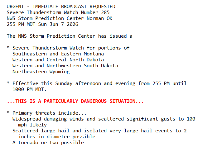
NAM is really aggressive with an expansive EML advecting into the region. GFS not so much. A little nervous on this because the NAM tends to overdo these, however, you throw an EML in Thursday with a shortwave trough moving through and there will be some severe storms. Lots of details to iron out these next few days!
-
Could be here. Probably be evening though but can’t rule out afternoon stuff, especially west
-
Thursday could be a big day
-
why can't we get this
-
The amount of wind we have had this spring has been absolutely annoying. It seems like every day is gusting 15-20+ mph.
-
The winds along the leading edge from yesterday in New Britain
-
In East Longmeadow. Nice light show
-
Pretty solid! Probably gusted 45-50…maybe towards 55
-
Come to your daddy

-
-
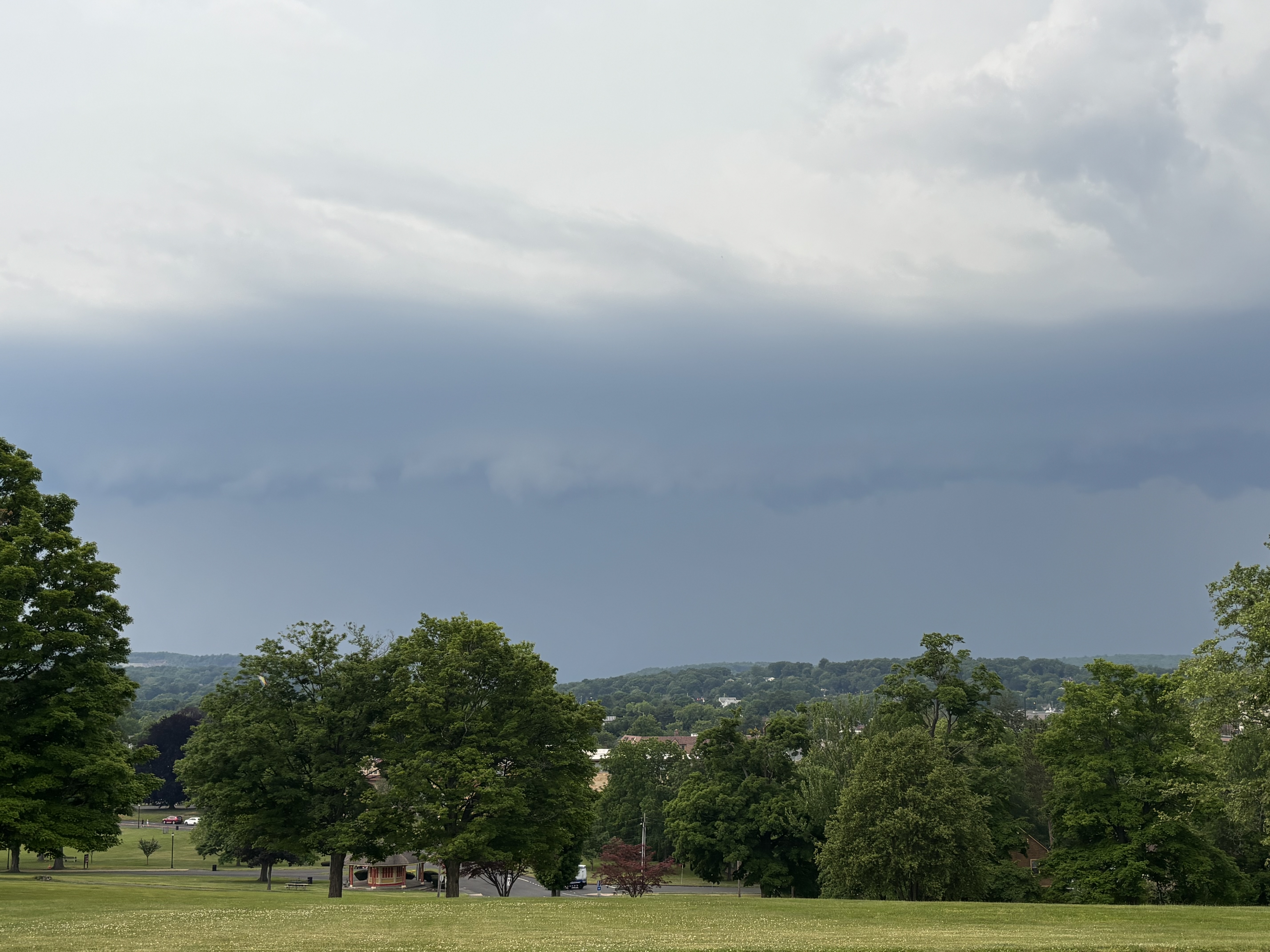
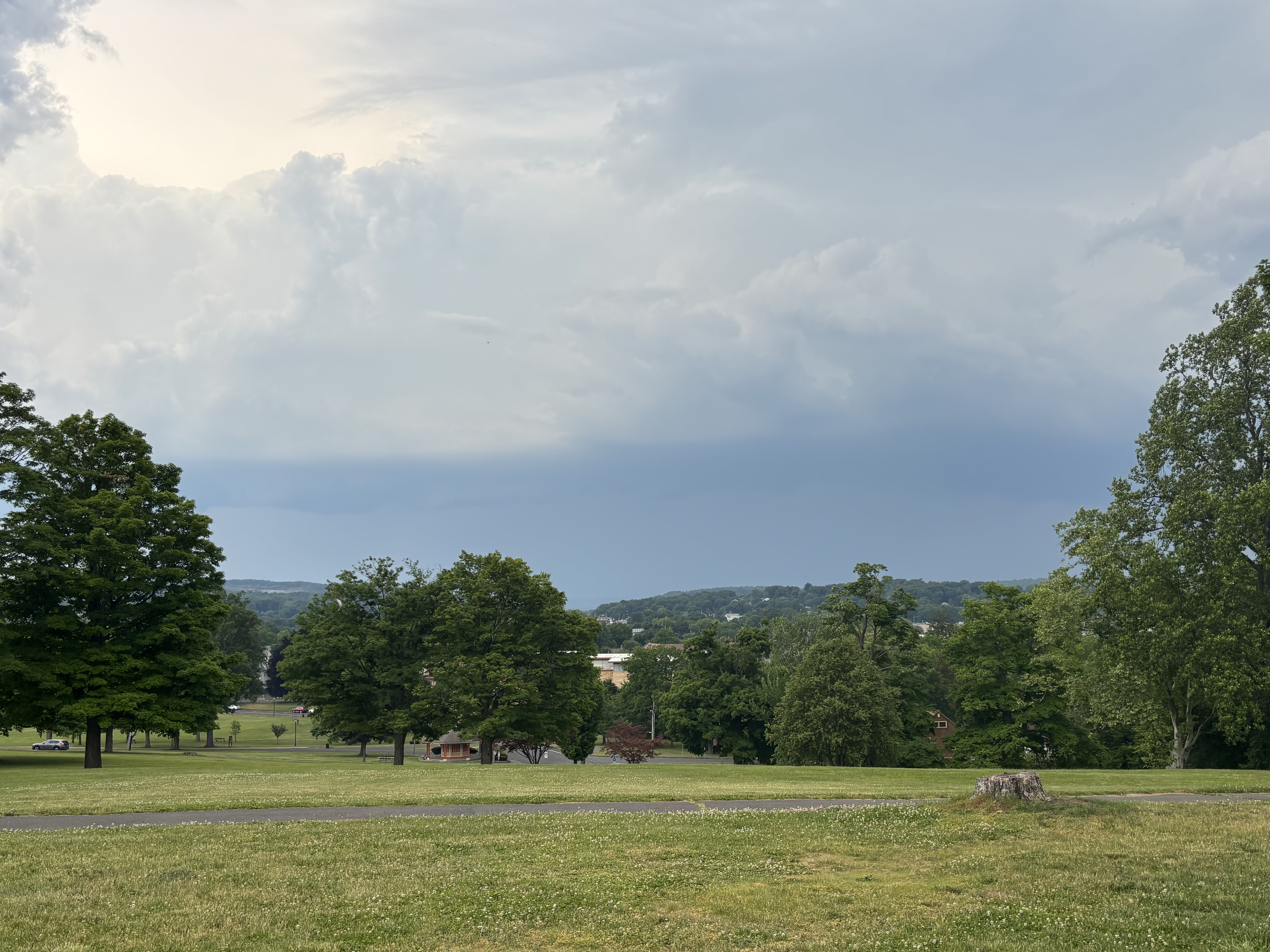
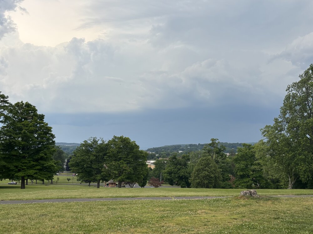
Went to New Britain. Got a nice view from walnut Hill Park. Shelf incoming soon
-
Actually debating headed to BDL But its about a 2 hour drive so would have to make the call by 4
-
Starting to debate on having to head south. Have a spot at Mt. Greylock. RRFS had been showing a good line coming through S VT but nothing has developed yet and not seeing much in the say of a CU field on satellite. Even wondering if CT might be solid with that NE PA stuff
-
It is getting HOT in the sun.
-
If we can keep the sfc wind direction more S/SE there may be some transient supercells involved. LCL heights are really high though.
-
Satellite is encouraging.v Just made it to the Bennington welcome center
-
I'll take the 3km please
-
Gotta say...the RRFS has been quite consistent in its evolution. It's really liked up around the Albany area
-
A bit of a change in plans. Going to go to Bennington, VT and start from there. There are some decent viewing spots. Secondary area (which would be only 30 minutes away) is Wigwam Western Summit in North Adams which looks like it has a tremendous view to the west. Really tough part about today is the mesoscale aspect of how this unfolds. The greatest potential seems to be well down into PA but given its a very late PM threat its probably not worth the 4+ hour drive.
-
Spoke too soon
-
Not bad out! No mosquitos either…so far. Usually get destroyed with them here
-
Oneonta is our target area for tomorrow!
-
Bring on the 75F dews