weatherwiz
-
Posts
76,464 -
Joined
-
Last visited
Content Type
Profiles
Blogs
Forums
American Weather
Media Demo
Store
Gallery
Everything posted by weatherwiz
-
The upcoming pattern isn't going to feature sustained heat/humidity. It is going to be an active patterns with fronts and shortwaves. With this, we'll get some hot/humid days mixed in, especially ahead of systems followed by a return to more seasonal conditions. Our perspectives of what should be happening are way out of whack. This looks like a much more typical stretch of weather for this time of year. We shouldn't be building in extended heat/humidity regimes early or mid-June. We should still be active with fronts and varying between a few days of heat/humidity followed by several days of seasonal weather. Building in extended heat/humidity shouldn't really happen until you move into and through July.
-
mesoanalysis isn't looking bad at all. In fact, shear is even "slightly" better than I thought it would be. Looking at the 12z ALB sounding, it looks like there is a little wind max between H5-H7 rolling through which is enhancing vertical shear a bit.
-
Have to watch next Friday/Saturday for some severe potential...been a signal for a few days. I think we get one hot day end of next week ahead of the front but have to watch warm front.
-
Thinking of going to Ringe, NH as a spot...there is a place with some decent views there. But I am thinking the area from Rindge/Fitchburg/Leominster may be the "best" local corridor today. Right along the instability axis and somewhat stronger (still meh) wind shear. What is our goal for today? See some CGs and hopefully a shelf cloud.
-
That’s why I was originally thinking remaining along CT/MA border. Unfortunately, this may be the “best”/only opportunity of vacation so have to roll with it. Maybe Tuesday can offer something or next Saturday but too far out.
-
It sucks shear blows.
-
Probably have to head to southwest NH today.
-
Not always the case, however, in the case of today that should be an indicator there will be a few intense thunderstorms this afternoon. Thanks to the steep lapse rates we have some decent elevated instability right now and with stronger heating today we should develop moderate instability (~2000-2500 J of MLCape) and we’ll have the weak arc boy dart coming through.
-
I still think we see some bangers overnight so don't be surprised to hear some thunder
-
See how much happier everyone is posting heat/humidity obs? This is our happy place
-
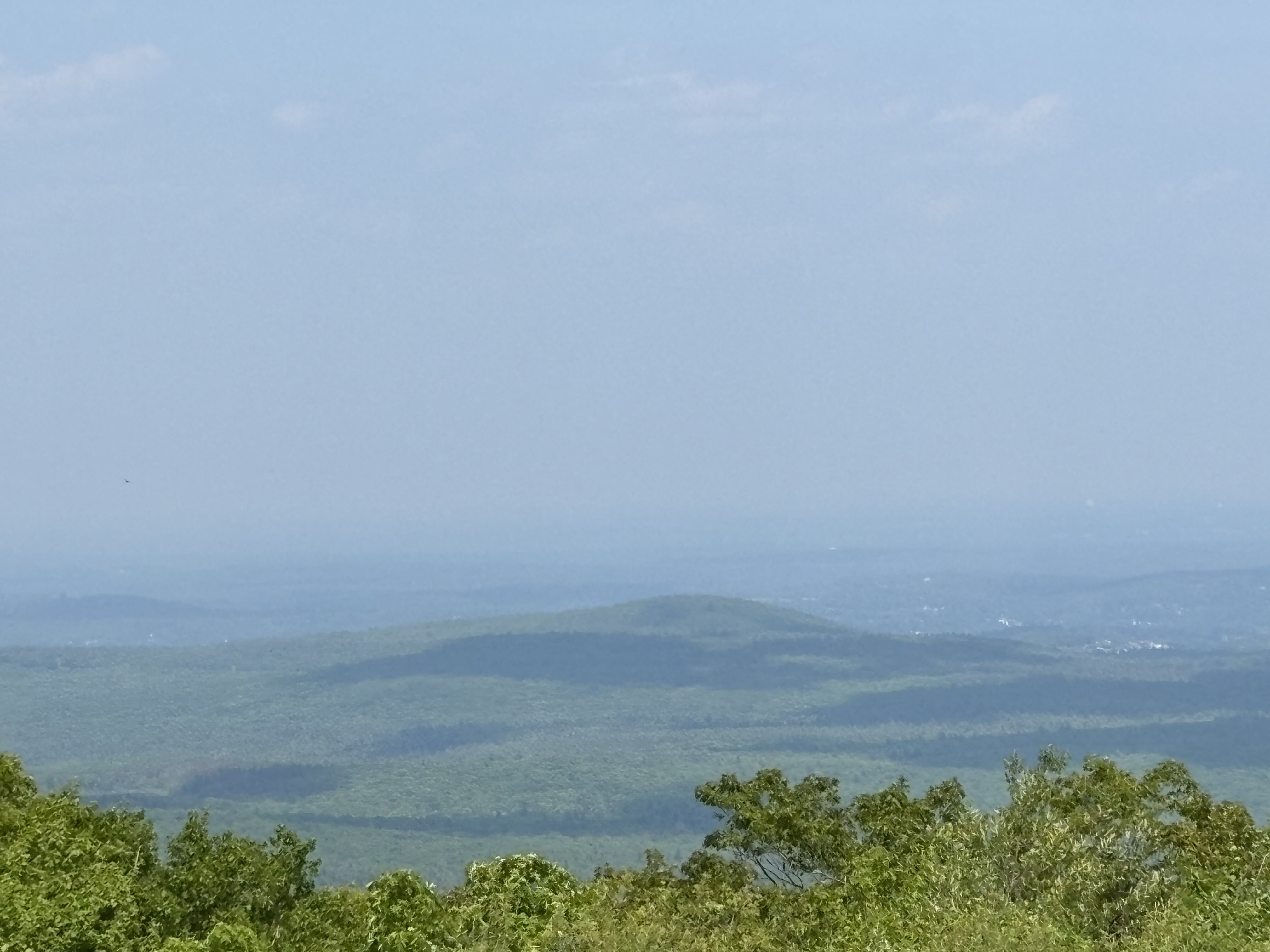
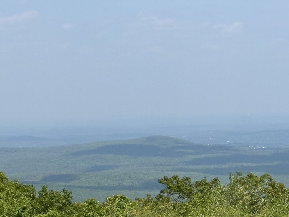
Just a tad hazy
-
Won't have to go far either
-
could see some bangers around daybreak too
-
Yup...was telling my friend earlier, we probably want tomorrow to have very little in the way of storms with Friday holding the better potential. I wish shear was a tad stronger but I'll take some intense pulse type storms.
-
Even keeps that pseudo EML through Friday. The shear is meh but that's some pretty hefty CAPE for these parts (MLCAPE 2500-3000). But yeah tomorrow probably has some capping issues but that weak boundary could be enough to set something off, especially early evening. Friday I think may have a bit more potential for storms.
-
NAM continues to be quite interesting late tomorrow afternoon and now during the evening
-
Driving…too lazy and out of shape to hike
-
Won’t need to wear any clothes!
-
Going up Wachusett tomorrow!
-
It actually feels hot. I'm wearing shorts too...short sleeved shirt and shorts. I'd actually probably be dying if I was wearing jeans.
-
This is why technology is a blessing and a curse. On the curse side of things, there is no such thing as fundamentals anymore because computers can do all that. But if something were to ever happen say with computers and internet, we'd be screwed as a society because nobody would know how to do things manually anymore. When I was in high school I wanted to double major with accounting/meteorology. Accounting came as a mistake. In 8th grade it was time to pick classes for high school and pick two electives. Me being young/stupid was looking for easy. So, I selected a class that I thought was acting (the course code was Acct). Anyways, that class turned out to be my very first class of high school and I walk into the room and remember thinking, "umm this doesn't look like it would be for acting". Anyways, turned out it was accounting and I was the only freshman in a class with juniors and mostly seniors...I ended up sticking with it and loving it so all my electives geared towards business. But I enjoyed it...balancing sheets and ledgers, etc. Anyways, fast forward to when I went to community college about 12 years ago. I took accounting again...it was worlds different. In high school, we did everything by hand in a book. This class was all automated...all computer. My point with this long story is...even in the business world, I don't think anyone would probably know how to do a balance sheet by hand or balance a check book by hand if needed, computer programs do this stuff now. Kind of sad
-
I wonder if the K Index isn't widely used anymore just because of the advancement of additional tools and indices? Another one that rings a bell is the Craven Brooks Sig Severe Index or the SWEAT Index. IIRC, the K Index was actually quite decent. But now everyone just runs to supecell composite/sig tor parameter and looks at the hazard type on the SHARPpy soundings
-
All this MCS activity and convection along the front is causing some major model chaos. Part of the issue too is the degree of convection is so extensive that this will cause some big wiggles in the placement of the boundary throughout the day today and tomorrow. So it may seem at times the front is farther south and east that modeled, but as convection wanes a bit in the overnight the front position corrects back northwest a bit. Makes it very challenging on what to expect here in terms of frontal timing and placement.
-
That stuff makes me real nervous. I get real paranoid when being outside when thunderstorms start getting within a certain distance. That is one thing I think that would freak me out most about chasing in the Plains...at least here there is a good chance there are taller objects around you, but out there you are the tallest object
-
Could be those pulse type with lots of CGs and probably even some of those nasty +CGs.