CT Rain
-
Posts
26,257 -
Joined
-
Last visited
Content Type
Profiles
Blogs
Forums
American Weather
Media Demo
Store
Gallery
Everything posted by CT Rain
-
Booked Stowe for New Years. You can bank on a cutter with heavy rain for those days.
-
Wow - where was that? Can I share it on air today on NBC CT?
-
I was crossing the Sagamore this morning a bit after 8 a.m. and Rt 6 was like a river. Torrential. Congrats on the water!
-
Yeah I'm definitely not ready to write this off like Woody.
-
Soaker for Scooter on the NAM.
-
Looks just like the HRRR
-
Nary a drop.
-
The 18z HRRR's 10.1" of rain in Hyannis was probably a bit overdone anyway.
-
Yeah EPS has a very wet look. That axis is very similar to the 12z op Euro.
-
GFS is way west FWIW
-
You have low clouds in Moosup today?
-
Without a doubt in the winter you'd lock in 1-2 feet EOR.
-
meh The extent of my investment in this is "wow, looks rainy next week"
-
lol you're ridiculous
-
Pretty classic pattern for a summer deluge. Depending on the orientation/location of the ULL there could be a severe threat too.
-
Stein had a nice run.
-

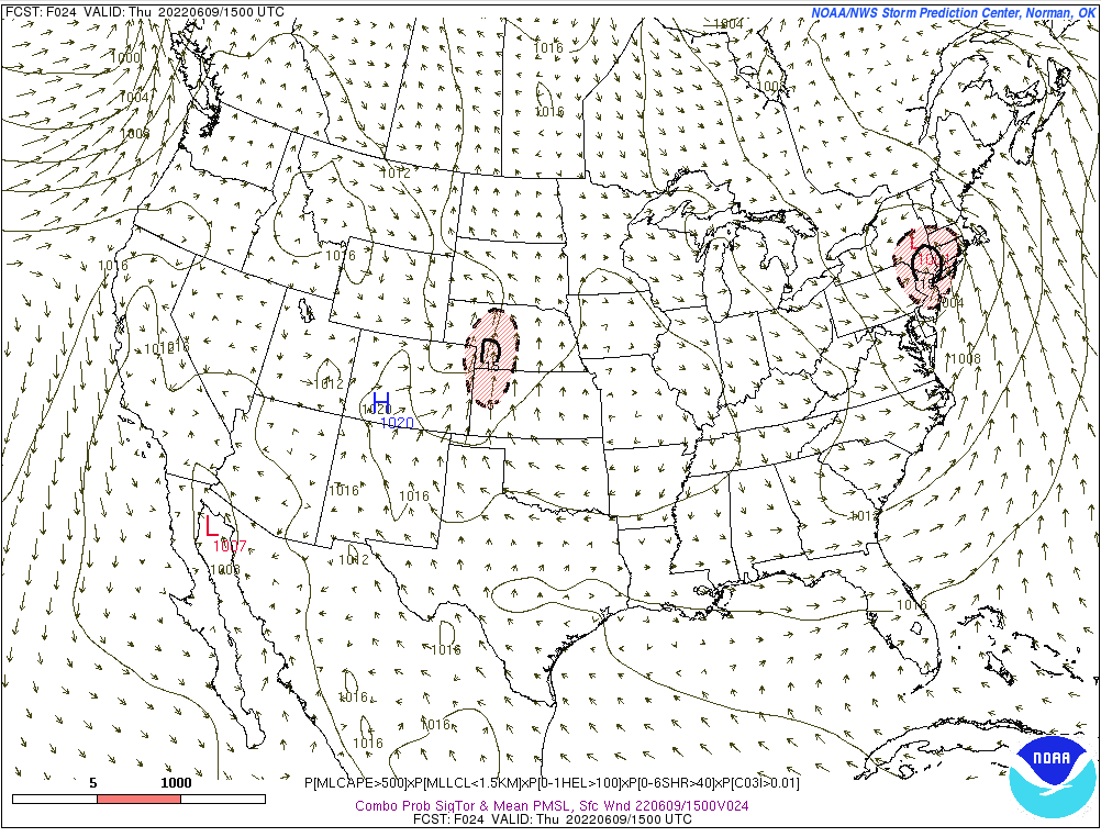
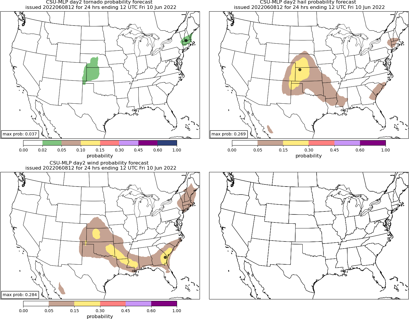
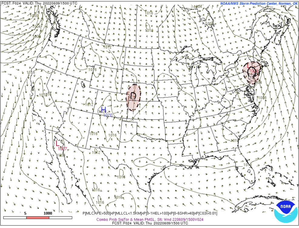
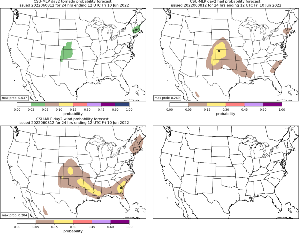
Severe Weather Threat Week...so many threats!!!
CT Rain replied to weatherwiz's topic in New England
That day was the worst -
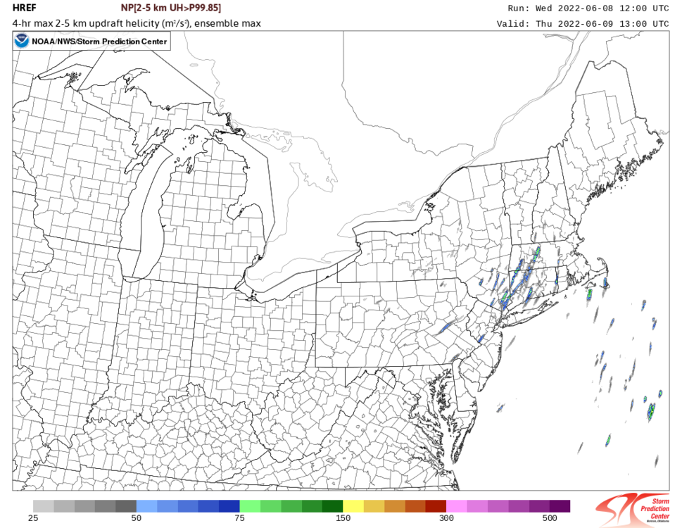
Tomorrow's severe threat looks decent. Plenty of low level/deep layer shear. Wouldn't be surprised to see a spinner or two in New England.
-
Wiz... I'm very disappointed you haven't posted about the NAM for Tuesday PM!
-
Can I share that on air with credit to you?
-
Really D10-D15 that's chilly/wet on the GFS.
-
The GFS looks worse
-
Watch the warm front tomorrow morning.
-
lol drunk.
-
May have to watch for some storms Friday night on the leading edge of the EML with that convectively induced vort.