mob1
-
Posts
2,794 -
Joined
-
Last visited
Content Type
Profiles
Blogs
Forums
American Weather
Media Demo
Store
Gallery
Everything posted by mob1
-
Here's the RGEM, shows a very shallow level above freezing but it's only towards the tail end of the event and if rates are still decent enough maybe we can overcome it. It would still yield a beautiful front end thump regardless.
-
While models do show a warm tongue aloft, on the GFS it's still below freezing on levels. Obviously for the models a bit more NE it's more dicey.
-
-
Spinclockwise at warp speed to strenghten the HP and get a better CAD signature. On a serious note, this kind of uncertainty is not unusual at this range and the emotional roller coaster is part of it.
-
I think this is a tad colder than its previous run, but nothing noteworthy.
-
That's pretty wild. Let's see what the rest of the 12Z guidance shows.
-
It's obviously subject to change, but there's a decent consensus that it'll start Friday late afternoon/early evening.
-
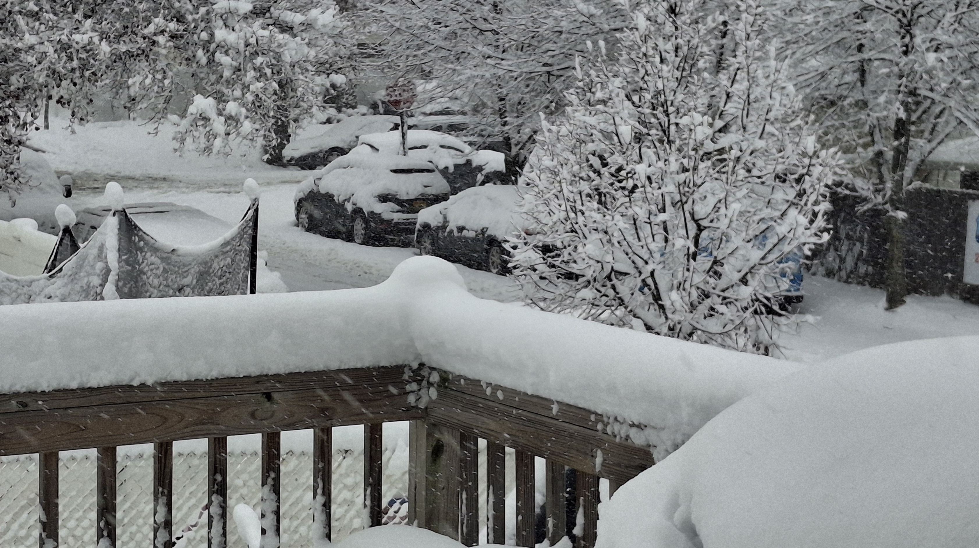
Finished with roughly 0.2"
-
Coating on colder surfaces, with snow continuing to fall.
-
Even if nothing materializes for us, the fact that we're at least tracking threats nearby is far better than wall to wall warmth that looked to be the case a gew days ago. At the very least, it'll be very beneficial for ski resorts.
-
Should pick up significantly in the afternoon and evening.
-
As is very often the case with these events, I think the stronger and longer duration winds will be on the backside (CAA) of the storm. Maybe isolated gusts will be higher with any line moving through now, but areawide we should perform better with the cold air advection as it can mix down winds very efficiently.
-
Moderate snowfall 12/14/2025 WWA up for most of the area
mob1 replied to WeatherGeek2025's topic in New York City Metro
NYC finished with 2.7", though Newark and JFK both finished with over 4". -
Measured in 10 places and had an average of 5.5" (a hair under).
-
Moderate snowfall 12/14/2025 WWA up for most of the area
mob1 replied to WeatherGeek2025's topic in New York City Metro
5.2" with snow coming to an end. Great little event.
-
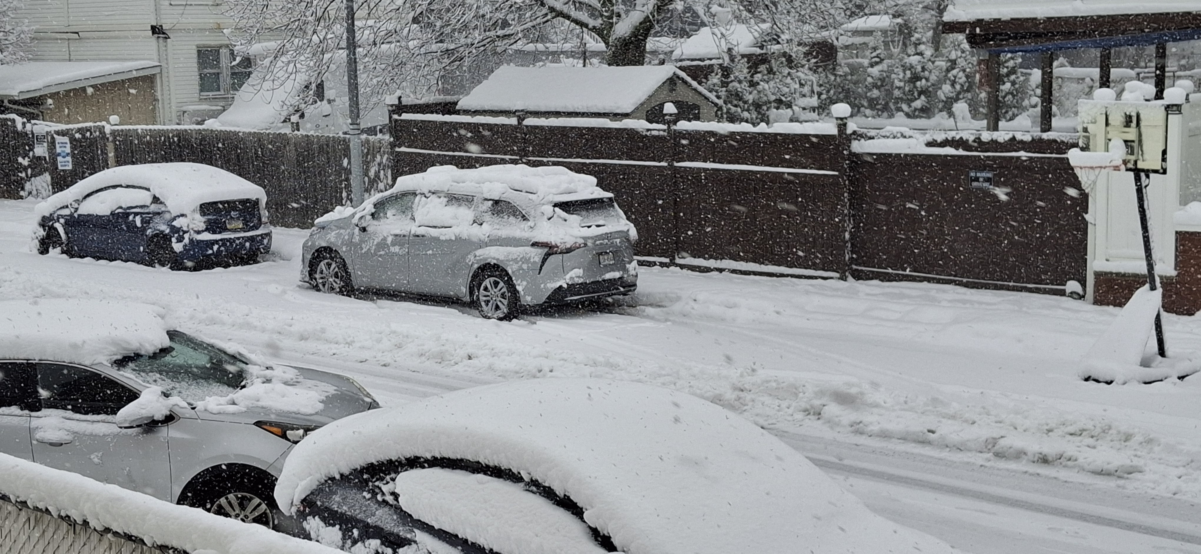
About 4.7" on the SW part of NYC (with a bit of elevation, making it a world apart from Manhattan in marginal events)
-
-
30 at the park now with snow continuing. I really hope this brings them to some semblance of a respectable number. Knowing them though, the final will probably be something silly like 1.3"
-
Fox had a reporter measure exactly 3" at the park about a half hour ago.
-
-
Last band should put me over 5", very very happy.
-
I did really well here, though I saw some pics of my old Brooklyn stomping grounds and it was way less than what I have here. 4.5" now and still one solid band to go.
-
The last few bands should be decent there and temps are finally cooperating so we'll see what their finally numbers are.
-
They better at least crack the 2" mark when all is said and done.
-
They'll add a fair bit to that over the next hour.