

wxsniss
-
Posts
5,812 -
Joined
-
Last visited
Content Type
Profiles
Blogs
Forums
American Weather
Media Demo
Store
Gallery
Everything posted by wxsniss
-
Coordinates for Dorchester just south of Logan, using 18z NAM, at 18z Sun catching CCB... (and earlier it looks like surface wetbulbs from 36-37 to 32-33 by 3z Sun... ie., cold run for Boston metro that though wet should accumulate):
-
2 wrinkles a little more prominent on this 6z NAM, and I’m thankful we don’t have more time for these to create even more forecasting havoc: 1) interaction of our trailing shortwave with the shortwaves diving down the Midwest 2) convection out east / multi-low structure robbing some of the inflow mechanics… you can see a bit of that hr 51
-
Thanks for updates fellas, haven't had a chance myself to look at any H5 trends... Seems solutions have stabilized away from the north tics earlier today and all give ESNE at least some CCB treatment, widespread SNE 6-12" Critical window and probably last opportunity for drastic changes would be 6z-12z guidance as shortwave energy enters BC ~6z Friday I'll be back for Euro NWS ticked a bit up at coast on 7pm update:
-
Hastily catching up on guidance since this morning, sorry if I missed similar posts earlier. Great post. First energy entered CA ~0z last night. This second piece looks to enter BC ~6z Friday. We've seen today how sensitive outcomes are to strength of these 2 pieces and timing of interaction. Would not be surprised to see continued volatility in guidance next 24 hours.
-
A hair better than 0z:
-
Still lots of uncertainty, but seems 0z Euro was the anomaly Gap from here to 12z GFS is a more potent trailing s/w and associated earlier capture... highly impactful variations that are easily within noise at 60h-72h
-
Wow Can we get an EPS/GFS blend… Glancing at surface first, I half expected to see that the lead vort had disappeared and this was entirely driven by trailing vort Now even more convinced we’re seeing highly impactful wobbles rather than clear trends
-
EPS (cut back ~1 inch everywhere compared to 12z):
-
Maybe the biggest change on this 0z vs. 12z Euro run is lead wave seems to move faster... vortmax is ~100-150 miles further east by 0z Sunday. And so the surface low is east. For example, 18z Sunday, ~50 miles east instead of over Nantucket. I don't think we have enough to call this a definitive trend vs. impactful wobbles.
-
This run also a tick warmer at 925 especially east... Agree 4-10" is a safe range this far ahead for much of eSNE. Still think there is a shot at >10" somewhere 128-495 or interior southeast depending on timing of interaction. But we need to see more support for that tomorrow, otherwise today's most bullish runs were a flash in the pan.
-
Definite step back from 12z Euro... interaction with trailing energy occurred too late But, we at least appear to be stabilizing the floor of a solid region-wide warning event, which appears on all guidance. The double-digit ceiling is critically dependent on that infusion of trailing wave, and on this 0z Euro the lead wave scoots east / that interaction is delayed. This will fluctuate and definitely still on the table. Ironic that GFS is now the most robust (at least for SNE).
-
Shifted east with lead wave compared to 12z... the mitigating factor mentioned earlier if trailing wave interacts later
-
Yeah pieces look perfectly positioned on that 84h NAM for injection of the trailing vort and capture for a big hit eSNE. That scenario is shown on most global guidance at this point. The main mitigating factor on current guidance is if it happens too late... 6z GFS is a good example where the trailing energy arrives too late and the system bombs out too far east
-
Fwiw nice hit clown range 0z NAM, much improved from 18z NAM
-
Energy is entering CA 18z-0z tonight, so this 18z GFS (and definite step towards Euro with more robust initial wave and capture by trailing wave) is a very promising trend to start the evening
-
925mb -4 to -5C much of pike region / eastern SNE throughout event
-
18z GFS definite step towards Euro That infusion of trailing shortwave gets us to double digits in eSNE
-
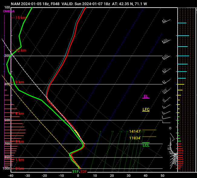
Some #s from 12z GFS... this is warmest point 90hr for KBOS... I don't think easterly fetch is strong or prolonged enough to spoil this... when we've struggled in the past we were kissing 0C 950 Station: KBOS Latitude: 42.37 Longitude: -71.02 Elevation: 47.82 Press Height Temp Dewpt Dir Spd SFC 1010.3 48 0.8 -0.3 72 14 M 1000.0 130 -0.1 -1.1 74 20 S 950.0 539 -2.8 -3.0 79 29 S 900.0 965 -5.6 -5.8 88 32 M 850.0 1411 -7.7 -8.1 108 25 S 800.0 1882 -8.2 -13.4 130 14 S 750.0 2383 -7.9 -8.5 182 17 M 700.0 2922 -7.1 -7.7 209 22
-
100%, might have been a mistake. But someone made it, so wonder how this compares to the NBM, because doesn't seem supported by Euro/EPS or GFS/GEFS. And agree with others that the marine influence (especially once you approach 128) is probably factored too heavily.
-
Growing confidence from EPS/Euro we see double digits somewhere in SNE, finally get this monkey off our back... Pike vs. NE MA vs. NH-MA border vs. SE MA jack tbd, but outside 128 belt Foxboro to Fitchburg looks great atm Opening bid from NWS... seems they are heavily factoring marine influence... the low-res Euro soundings are plenty cold 925 on up, so probably see that gradient closer to coast:
-
Ironically the actual pieces of shortwave energy looked a bit better at 0z, but more ridging on this run brought this further north... great run for NEMA
-
Sweet spot for SNE that we discussed on 0z Euro last night: lead shortwave stronger but slightly more delayed, while not strong enough to push baroclinic zone too far southeast + trailing shortwave a tick faster so more likely to invigorate a parting CCB... if all this holds, that last component could push parts of E/SE SNE to 5-10 or more Great to see 12z GFS trending towards this
-
6z GFS slightly improved over 0z GFS but nowhere like Euro/UK… benefits from late infusion of trailing shortwave energy
-
Interesting concordances of the moment at 0z: Euro ≈ 110% UK: jack southeast NY-CT-Pike-BOS vs. CMC ≈ 110% GFS: jack northern MD-southeast PA-NJ


