michsnowfreak
-
Posts
18,737 -
Joined
-
Last visited
Content Type
Profiles
Blogs
Forums
American Weather
Media Demo
Store
Gallery
Everything posted by michsnowfreak
-
This is another excellent point. I sometimes think some get too wrapped up in the reds and blues of a temp anomaly map. Dark red in Winnipeg and blue in Atlanta? Means it's only going to be 30F colder in Winnipeg than Atlanta instead of the normal 40F colder lol.
-

October 2026 General Discussion
michsnowfreak replied to SchaumburgStormer's topic in Lakes/Ohio Valley
I wish it was the Tigers...but enjoy!!! -
Oh for sure. This is something a shocking number of people cant seem to grasp- that a mild seasonal mean doesnt mean no cold blasts or below avg days, it just means fewer.
-
October 2026 General Discussion
michsnowfreak replied to SchaumburgStormer's topic in Lakes/Ohio Valley
41F at DTW this morning but 30s with the first frost in the rural and outlying areas. -
The core of the most impressive anomalies in 1877-78 were in the far upper midwest and into Canada. It was and still is known as Minnesota's infamous "year without a winter". The temp departures, even against the current milder averages, are astounding, especially in northern Minnesota. Further east, it was a torch December here but only run-of-the-mill mild Jan/Feb, with quite a snowy stretch from late Jan to mid Feb. Detroit finished with 43.4", right around avg for snowfall, but snowfall was heavily confined to Jan-Feb, with only 1.0" in Nov, 1.9" Dec, T Mar and 0 Apr. It was certainly a mild winter in the east, but nothing like Minnesota.
-
2026-2027 Record-breaking El Nino
michsnowfreak replied to Stormchaserchuck1's topic in Weather Forecasting and Discussion
Climate change autism on here is worse than snow autism. Any discussion of snow/cold (not in this thread, on any thread) hits a button with those who have cc autism. Last winter was especially brutal. There are only a small handful of posters on this board who only post about one thing and one thing only, and its not the snow crowd. -
October 2026 General Discussion
michsnowfreak replied to SchaumburgStormer's topic in Lakes/Ohio Valley
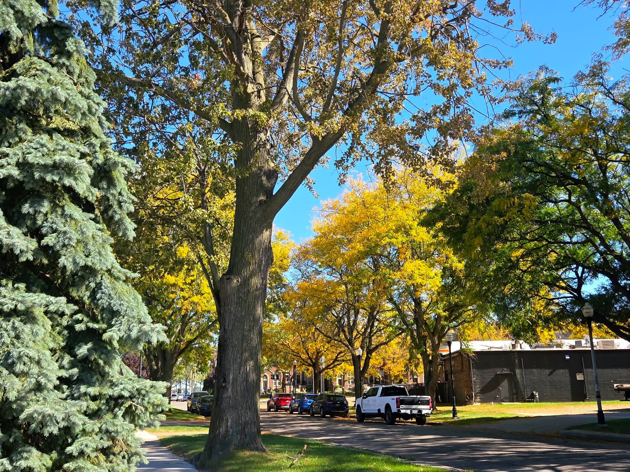
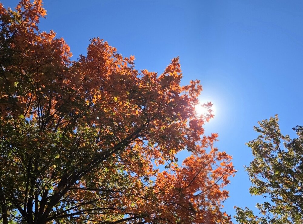
Absolutely stunning Fall day. Lots of color already. Peak may be a bit early this year.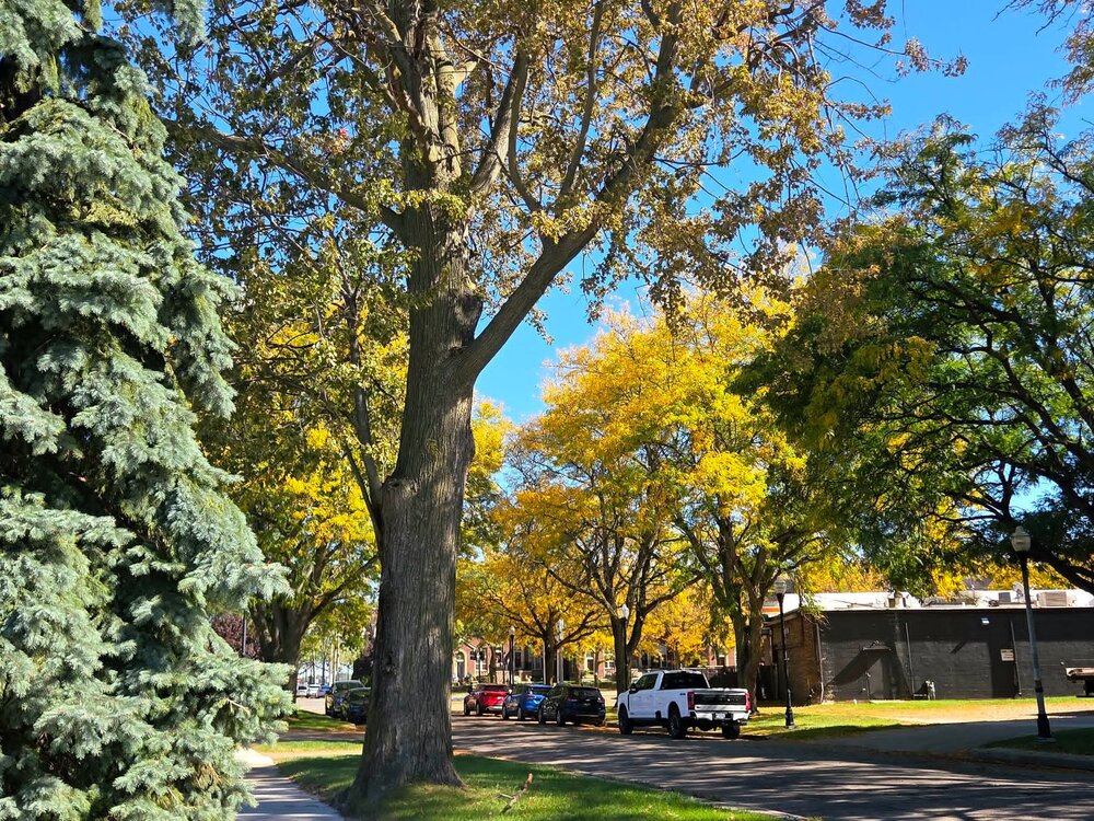
-
2026-2027 Record-breaking El Nino
michsnowfreak replied to Stormchaserchuck1's topic in Weather Forecasting and Discussion
Looks like a pretty pleasant month setting up in the southern Great Lakes, ie in the far eastern reaches of the Midwest lol. Colors rapidly popping, sunny with crisp chilly nights, temps oscillating between above and below avg. -
October 2026 General Discussion
michsnowfreak replied to SchaumburgStormer's topic in Lakes/Ohio Valley
Perfect autumn weather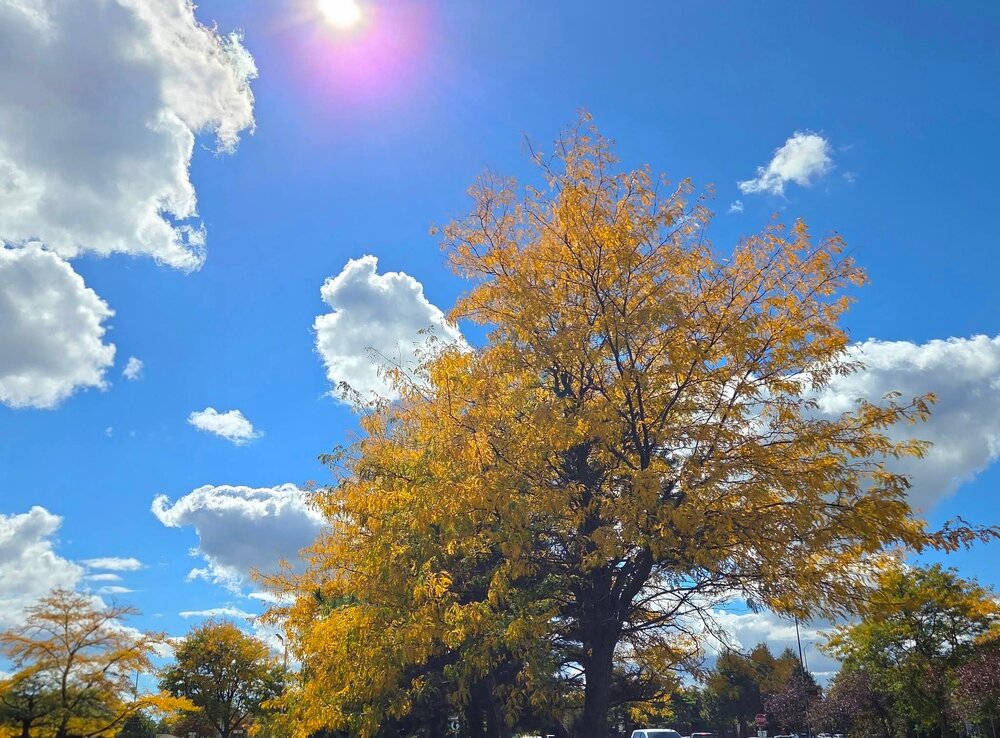
-
October 2026 General Discussion
michsnowfreak replied to SchaumburgStormer's topic in Lakes/Ohio Valley
The color is absolutely exploding. Crazy how it happens so quickly. -
2026-2027 Record-breaking El Nino
michsnowfreak replied to Stormchaserchuck1's topic in Weather Forecasting and Discussion
We see so many posts like that, some are trolling, some just unawareness, some maybe a combination of both. But the inability for some to differentiate between a seasonal mean and the actual day to day weather is wild. The weather ebbs and flows and changes on a daily, weekly, and monthly basis. This shouldnt have to be explained repeatedly on a weather forum, but it does. -
Fairbanks, AK saw the first measurable snow of the season September 30.
-
October 2026 General Discussion
michsnowfreak replied to SchaumburgStormer's topic in Lakes/Ohio Valley
Happy October! My favorite color! -
2026-2027 Record-breaking El Nino
michsnowfreak replied to Stormchaserchuck1's topic in Weather Forecasting and Discussion
The yearly max/min temp is always a fun one to watch. In 2026, the max at Detroit was 97F and the min -10F. Even with a mild winter we will likely still go below zero. The avg temp for summer here is 72.3F and winter 28.4F, a difference of about 44F. -
2026-2027 Record-breaking El Nino
michsnowfreak replied to Stormchaserchuck1's topic in Weather Forecasting and Discussion
Again, completely different climate on the east coast vs Great Lakes. The least days with measurable snow on record at Detroit was in 1889-90, when just 15 days recorded measurable snow. But thats still 15 days where snowfall was measured. Even Detroit and Boston, which average near identical snowfall, are completely different climates, but I know further south in NYC its more extreme. All that said, I don't see how you could ever expect a snowless winter in NYC without everything going completely wrong, especially in a wet pattern. I mean, easily rain would dominate over snow. But snowless would be an extraordinary feat. -
Though there have been several days of 50-52, yesterdays 47° at DTW was the first 40s since May 31st. Today was 49°.
-
2026-2027 Record-breaking El Nino
michsnowfreak replied to Stormchaserchuck1's topic in Weather Forecasting and Discussion
That cold map is for Oct 5-12. -
You sold on actual surface temps being warmer than 1997-98? As I mentioned earlier 1997-98 is definitely the odd duck for strong ninos in that Feb was the warmest rather than coldest month.
-
2026-2027 Record-breaking El Nino
michsnowfreak replied to Stormchaserchuck1's topic in Weather Forecasting and Discussion
Thats crazy about 1997-98. Here its more frequent snow so its basically in the end getting less than normal during strong nino. Theres no worries about it not snowing. Even on the coast where a big storm or lack thereof is often the defining moment of the season, i suspect a completely snowless winter is very difficult to achieve. Even an identical pattern to 1997-98 would yield different sensible weather and likely some snow in nyc if it happened again. -
Oh ok. Plenty of trees/woodlands here in MI! The color show will be great. Corn fields are definitely an important aspect of the autumn harvest however.
-
2026-2027 Record-breaking El Nino
michsnowfreak replied to Stormchaserchuck1's topic in Weather Forecasting and Discussion
Feb 1998 actually had a huge snowstorm in southern OH and northern KY, but I dont think it was very widespread. Feb was the torchiest month of the 1997-98 winter while Dec was the torchiest month of the 1982-83 winter. Typically December is the warmest month in strong Ninos but 1997-98 proved that wrong. I just cringe everytime you guys wish for 1983. Absolutely the worst strong Nino of them all here. Although certainly some bad luck played a factor. -
Where are you located now?
-
I thought so. Definitely some scenic snows in 2015-16. And thats exactly right about the atmosphere. If we have to explain that no two years are the same or follow some linear correlation, then we really are starting at square 1. The funny thing is, 1997-98 was actually unusual in that Feb was the warm month, not December. A bit of an odd duck from strong Ninos. Right off the bat I doubt that happens this year. 1997-98 wasnt even that bad Nov-Jan, then went totally flat in Feb.
-
Happy 1st day of Fall everyone! Fall is an amazing season in our region, soak it up and enjoy it!
-
While milder than avg winter is a given (2 colder than avg winters followed by a strong El Nino, no way its not), snowfall and precip remains the wildcard. If I am not mistaken, your area got a lot of snow in 2015-16. That was a crazy year where snowfall ranged from slightly below avg in Detroit to slightly above in the northern burbs to well above in Flint. My first guess for Detroit for 2026-27 is 33". Im taking the middle ground of strong Nino snowfall and will adjust if anything becomes more clear once winter begins. EDIT- I thought this was the main thread, then realized it was the New England one lol. The wet signal in the east is crazy. Makes you think that well inland will really pile up the snow numbers by April even if there are a lot of mix events and not the best snowcover.