-
Posts
18,185 -
Joined
-
Last visited
Content Type
Profiles
Blogs
Forums
American Weather
Media Demo
Store
Gallery
Everything posted by michsnowfreak
-
To be honest I'm always apprehensive at models. It does not matter whether it's a small event or a big event, they can signal that something is coming but the fine details are absolutely worthless in the long range. And I do not let the models dictate my enjoyment of the weather. Nov 27- got 4.2", expected 1-2 Dec 27- got 2.0, a "chance" of snow Jan 27- got 3.1", expected 1 Feb 2/3- got 9.3", expected 10-16 The day I let enjoyment of an overperforming 3" snowfall trump that of an underperforming 9" snowfall, is the day I quit looking at models altogether and remember I'm a weather hobbyist, not a computer one.
-
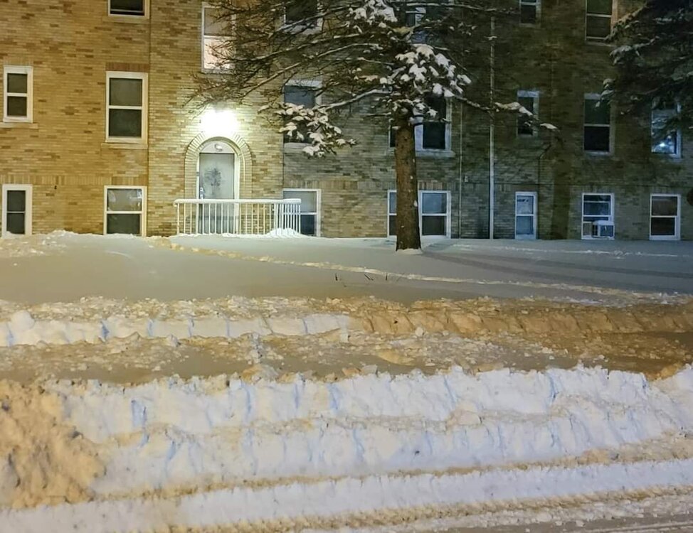
Avg depth is 2-3" here. Grass spots along most roads but also big snowbanks everywhere that are solid as boulders. An interesting potential lake setup today with an advisory issued by DTX.
-
The leftover snow crunchy as can be and there is standing ice everywhere.
-
Had 0.1 slushy snow yesterday and 0.2 slush this morning. 3.5-4 hvy snowcover left on avg. Season to date snow imby 29.0".
-
1995-96 is the Winter that I began recording snowfall and I haven't missed a beat since.. I also write-up a summary at the end of each Winter. Weather Winter nerds unite. The most non Winter was 2011-12, and the best was 2013-14. I mean, nothings even been close to that once in a lifetime Winter. Winters the past 20 years are far superior to those my first 7 years recording data.
- 66 replies
-
- snowmobiles
- skiing
-
(and 1 more)
Tagged with:
-
Winter is definitely longer than summer. Especially when it likes to pop in early or linger. Summer is more than long enough though.
-
Good, bad, or indifferent, I sure wouldn't be worrying about what the models show a few weeks out haha. They've struggled mightily.
-
I'm nowhere near ready for Winter to end. It's pretty common for the same crowd to start getting ready for Spring in mid February. Just as there are some of us who get ready for fall by mid August. Or earlier lol.
-
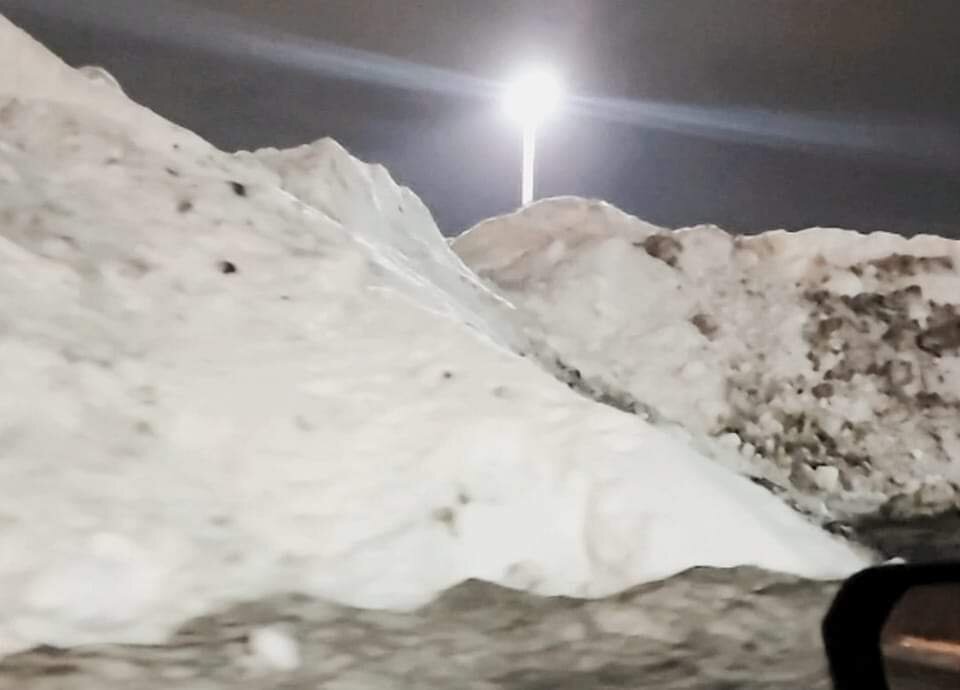
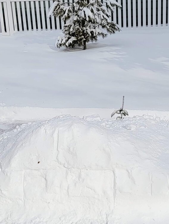
I would say ours average is 3 to 5". Heavily traveled areas are a mix of huge dirty snow banks patches of drifts and salt splattered grass. Still solid snow away from those areas though. Will be a while for these piles, taken in a mall lot last night lol
-
There are good records going back quite a ways, but likely not for the areas you like to ride in. I wouldn't pin much into recollections and here say, we know how that usually goes lol.
- 66 replies
-
- 1
-

-
- snowmobiles
- skiing
-
(and 1 more)
Tagged with:
-
I'll be in au train Feb 21-25
- 66 replies
-
- snowmobiles
- skiing
-
(and 1 more)
Tagged with:
-
Made it into the low 40s with sun all day. sw winds really got rid of a lot of the snow. The pack is about a very heavy 4" deep now. Piles will be here a long while but all it takes is one day to make a winter wonderland look mangy.
-
Southern MI had more snow on the ground than most of Northern lower MI the past week. But Munising is looking great!
- 66 replies
-
- snowmobiles
- skiing
-
(and 1 more)
Tagged with:
-
Checking out that morning glitter never gets old. Sun came out just briefly after dawn, then back to overcast.
-
Gray Winter day here. Love these days with the contrast of bright white snow to a steel gray sky. But time for some fresh snow to cover up the dirty piles.
-
Very solid cold month. Ice fishing and skating abundant in SE MI, and that's not always the case.
-
Actually your late call ended up pretty close. As has been said multiple times....it was an 8-10" storm for the southern burbs, 9.2" officially for Detroit (DTW) and while north detroit city (your old stomping grounds?) northeast to macomb were the SE MI low spot, they still had 6-7. In the end another 6-10 storm area wide. Lol. Forecast 3-6, get 6-10, forecast 6-10, get 6-10, forecast 10-16, get 6-10. How much sleet did you get?
-
Some diamond dust light snow fell overnight from that little disturbance that passed through. I hear of some awesome light pillars (which I missed) and an absolutely incredible sparkle in the snow this morning.
-
Looks like officially 12.7" at TOL. Storm bust aside, which was unfortunately imminent early on, very solid winter scenes DTW to border. Monroe 10.2", Carleton 10.0", Wyandotte 9.3", DTW 9.2".
-
Deep Winter nights are here. It's a February tradition. Snow for Christmas? 50/50 shot. Want deep Winter in February? Book it.
-
I love that! Same here but not as extreme, as we only had 3" to work with (the first 6 wasn't budging lol)
-
These are great maps. Definitely looks like It turned into a widespread big storm without the epic numbers. Outside of that blob of 15 to 17" in Indiana, Just a few small areas of 12 plus. It's incredible to think of how high some of those laughable kuchera numbers were for such a widespread area. I honestly don't remember that even in some bigger storms (Feb 2011, Jan 2014, Feb 2015) that panned out with bigger numbers.
-
DTW had 9.2". So contrary to what you said yesterday, this was an 8+ storm for DTW. Macomb county was the screwzone locally on that screenshot, but it doesn't show up here.
-
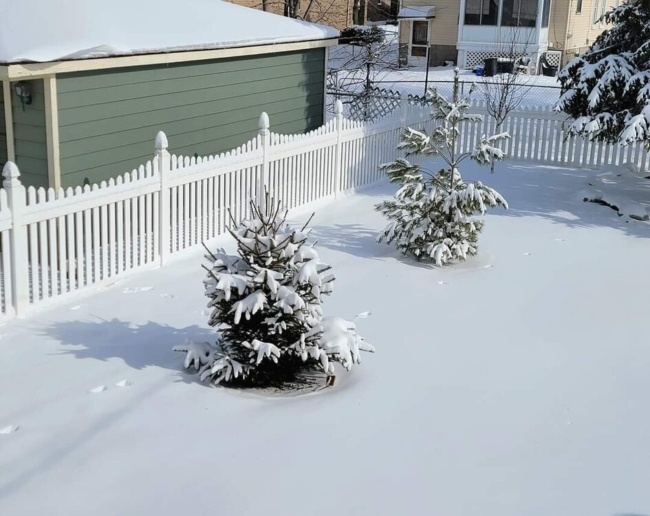
The beauty of fresh white snow never gets old. Storm total snow with wave 1 was 6.0" on 0.75" liquid and wave 2 was 3.3" on 0.16" liquid.
-
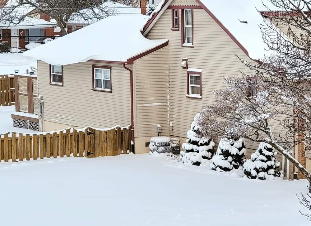
Looks great out there today. I am ashamed to say that my my giant snow pile days are over because I'm just in love with my snowblower. 2nd Winter with it.


