michsnowfreak
-
Posts
17,980 -
Joined
-
Last visited
Content Type
Profiles
Blogs
Forums
American Weather
Media Demo
Store
Gallery
Everything posted by michsnowfreak
-
-
Same
-
That's what was so amazing about 2013 14. I mean don't get me wrong we still get snow on top of snow many times but it's usually a different ball game to get snow on top of deep snow.
-
There does appear to be a several hour break between the rain and the wintry aspect of the system here
-
I never want snow to melt but in the circumstances of this case I wish it would just continue to go because I want as little standing water as possible for the freeze up before the snow starts lol.
-
February has also had unusually deep snow many of those years. Then March gets ZZZ. We have had a number of snowy November's and April's and zzzz December's and marches. But February is rocking
-
It's going...just very slowly lol
-
Howling south winds, 46, and the snowpack still holding.
-
The past 20 years, with a few exceptions, Feb has been money.
-
Wind Advisory Flood Watch Winter Storm Watch All in effect
-
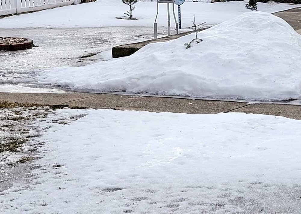
The depth is 3 to 4" but you have to realize the water content in it is a lot. I took this picture on Saturday after the last thaw but before the fresh snow on Sunday. The frost depth is about 2 feet so the ground is frozen solid. Huge water Laden ice snowbanks everywhere too. There's really no water where for the water to run off.
-
That's DTX. Very gunshy on watches and warnings but they'll issue an advisory all day. Sometimes to where I think it makes the public complacent. Some of their advisories I feel are not even needed, a special weather statement would suffice, and other advisories should be warnings and are often upgraded midway through the storm lol.
-
Sometimes it's about impact. Look at all the car pile ups on Sunday in the whiteouts. This storm should have a high impact regardless due to the icy conditions. Snow amounts however are a huge unknown so they might as well just forecast 1 to 8" and see what happens. I wish I could avoid looking at computer models but i can't help myself. Weather does what it wants. Like I said a few weeks ago, the day I enjoy an overperforming 3" snowfall more than I do an underperforming 9" snowfall is the day I quit following the weather and just turn to following computers. And that's not happening.
-
That's crazy that some areas had a top 10 or 15 driest year on record last year. I did not realize it was THAT dry so. Been a pretty average Winter here snowwise to date (may change to the + by Friday) and 2021 was Detroit's 12th wettest year on record.
-
We have actually had quite a few snow events this season that have overperformed, and most of the rest have performed as expected. Only the 1 big one was the one that really underperformed, and it had the most hype. This storm has a massive amount of uncertainty. Either way I don't see how it's not going to be a high impact event. You have frozen solid ground with snowcover that is going to be melting with heavy rain, then a transition to ice and snow and a major temp plummet to the single digits in the storms wake.
-
And sref (ie nam ensembles) went well south lol.
-
I am so excited to go to Au Train next week. Shoot me a pm if there's anything cool to check out that I might not know about lol. I have a cabin for the week. It's just incredible to see the microclimates of northern MI. Almost every year we see times when Detroit has more snow on the ground than some of the banana belts (ie Standish, Tawas, Glennie, Menominee, Escanaba). Then not far from these places you have crazy deep snow annually. The only thing I worry about is that I am missing some beautiful sites because I never visit those areas due to their unfavorable climate.
-
Looks like you gave a 3 year old a purple colored pencil.
-
Sorry to hear. Hopefully at least brightened up your old snow crust. It's a very snowblind kind of day today.
-
1° this morning, a pretty winter day. Fun fact: 15 of the past 17 Valentines Days have been white at DTW (1"+, many of them deep). Only 1 of the past 17 was totally bare. In contrast...7 of the past 17 Christmases were white.
-
It was a crazy day. There was 6" reported in Livonia. The irony of this is that was the same area that was screwed from the February 2-3 storm so they had about the same amount today as they had during that storm. I wasn't watching your area on radar closely but I thought for sure what those amounts in Livonia would have had more. Amounts varied widely from 1 to 6" where the squalls hit. I got 1.9", puts me at 30.9" on the season. DTW got 2.2" which puts them at 31.2" on the season (we had ironically been tied to date). The fresh powder does wonders for cleaning up the old crusty snow.
-
I'll see your quarter mile and raise you...
-
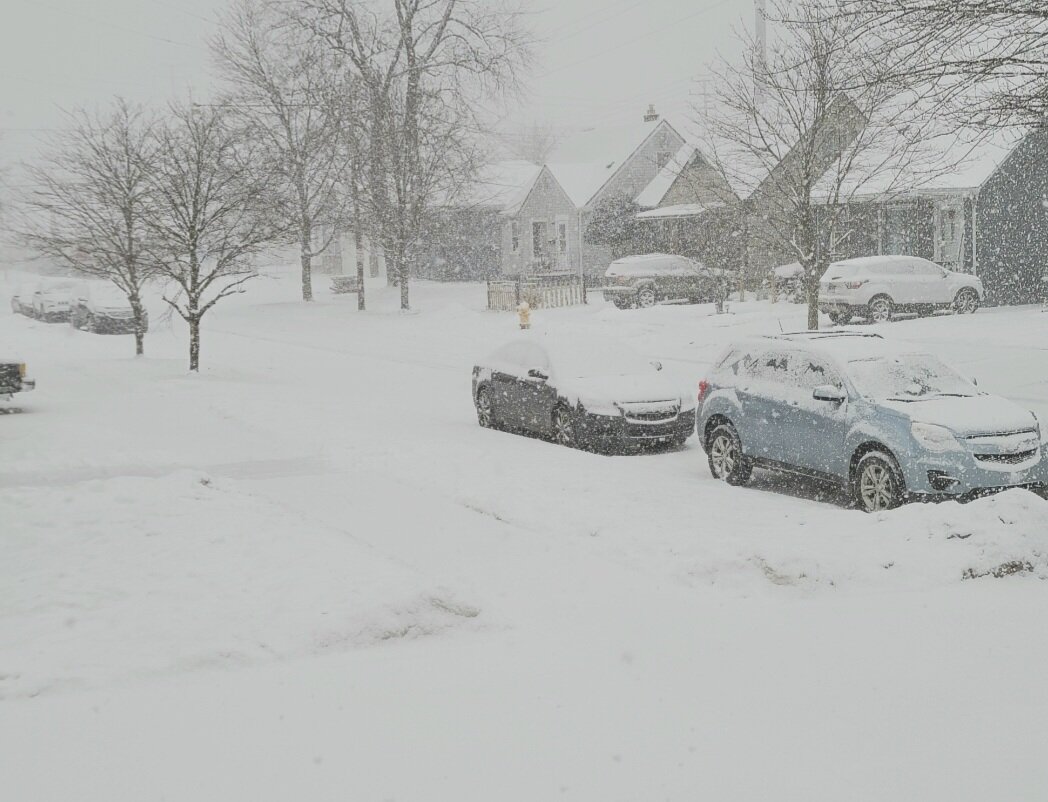
Went sledding with cousin and her kids and had a blast. The icy old snow was an absolute expressway for Clark Griswold type sledding. While we were at the park the northern suburbs of Detroit were dealing with freeway closures due to white out snow squalls. The squalls have now migrated South and it's like a legit snowstorm outside.

-
Urban and suburban areas are always different. I went to the park yesterday and there was 100% snow cover. Yet you drive on the main roads and there is salty grass, few snow patches, and snowbanks. Many neighborhoods have snow banks and grass on the curb side and then full snow in the yards except under trees. There's no question that a rural setting is exponentially better for snow cover than a city one.
-
To be honest I'm always apprehensive at models. It does not matter whether it's a small event or a big event, they can signal that something is coming but the fine details are absolutely worthless in the long range. And I do not let the models dictate my enjoyment of the weather. Nov 27- got 4.2", expected 1-2 Dec 27- got 2.0, a "chance" of snow Jan 27- got 3.1", expected 1 Feb 2/3- got 9.3", expected 10-16 The day I let enjoyment of an overperforming 3" snowfall trump that of an underperforming 9" snowfall, is the day I quit looking at models altogether and remember I'm a weather hobbyist, not a computer one.