-
Posts
18,121 -
Joined
-
Last visited
Content Type
Profiles
Blogs
Forums
American Weather
Media Demo
Store
Gallery
Everything posted by michsnowfreak
-

Winter 2023-24 Longrange Discussion
michsnowfreak replied to michsnowfreak's topic in Lakes/Ohio Valley
It's a hard comparison. It definitely will rain/snow on more days in Detroit, but total amounts are probably relatively close on average. -
Once we hit November I love overcast skies. It can be gray every day from November through the entire winter for all I care. But in October when we have a color show to enjoy...I do NOT care for it!
-
Definitely the cloudiest October I can remember. High temps have been colder than average for 11 straight days and counting but no frost/freeze yet (should change early next week).
-

Winter 2023-24 Longrange Discussion
michsnowfreak replied to michsnowfreak's topic in Lakes/Ohio Valley
Yes. It got down to 7° on Nov 13, 2019 which is the earliest single digits on record for Detroit. The bitter cold and deep snowcover before hitting mid November was surreal and clearly not a sign of the winter that was on the way (although we did get some other good snows, it was mild). -

Winter 2023-24 Longrange Discussion
michsnowfreak replied to michsnowfreak's topic in Lakes/Ohio Valley
What IS a realistic hope is for a good stretch of deep Winter in any given season. A snow season often spans six months between first and last flakes, so not unreasonable to get some deep Winter stretches. -

Winter 2023-24 Longrange Discussion
michsnowfreak replied to michsnowfreak's topic in Lakes/Ohio Valley
Agree on too much climo in the models these days, but thats why Im not leaning towards a warm winter (not saying its going to be cold). The seasonal model consensus is surprisingly tame (less than 1 degree F warmer than average), so imo with a nino in place, if I dont see the models torching thats a good sign. I disagree on the "we are becoming less of a snowcover region". Its always been variable and we have never been the type of region to be snowcovered all winter, regardless of what the old fabled wives tales say about going uphill. Some winters are whiter than others, but when you average out every 10 years it stays relatively steady. Im a snowcover guy, but I know hoping for a 2013-14 or 1977-78 is unrealistic. Just can always hope lol. Thats why I laugh when people who DONT care about snowcover get so worried about temps. If all you care about is snowstorms and not their lasting impact, then it shouldnt matter whether the winter is forecast warm or cold at this latitude, it all depends on storm tracks. Average Annual number of days with 1"+ snowcover per decade at Detroit 1920s- 51 days 1930s- 42 days 1940s- 49 days 1950s- 47 days 1960s- 57 days 1970s- 57 days 1980s- 47 days 1990s- 37 days 2000s- 51 days 2010s- 53 days 2020s- 46 days (thru 2022) 1920-2022 avg: 49 days -

Winter 2023-24 Longrange Discussion
michsnowfreak replied to michsnowfreak's topic in Lakes/Ohio Valley
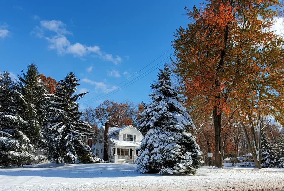
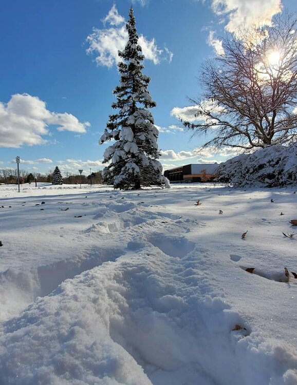
It was quite a sight for so early in the season. The 9.2" at DTW is actually the largest November snowstorm on record, edging out 9.0" on Nov 15/16, 1932. Also, the snow stayed on the ground 10 days. Also, that was a very late leaf drop so some trees still had colorful leaves on them and it made beautiful scenes. Photos from Nov 12, 2019. -

Winter 2023-24 Longrange Discussion
michsnowfreak replied to michsnowfreak's topic in Lakes/Ohio Valley
Cfs is run 4 times a day. Plenty of cold looks too. It changes like the gfs lol. -
Another gray autumn day today. Hoping after this system we get some sun for the peak color show.
-

Winter 2023-24 Longrange Discussion
michsnowfreak replied to michsnowfreak's topic in Lakes/Ohio Valley
With 150 years of weather data, good luck finding ANYTHING that matches a "slam dunk" scenario. But I always think its funny that the old "the weather in November the winter will remember" saying is often SO wrong. It goes both ways. -

Winter 2023-24 Longrange Discussion
michsnowfreak replied to michsnowfreak's topic in Lakes/Ohio Valley
2015-16 definitely had a big north-south gradient, although it wasnt a terrible winter outside of December. The Nov 21 snowstorm was gorgeous, but the Nov 11, 2019 snowstorm takes the cake here. It was incredible. In both cases, those would be the biggest storms of the winter (altho each winter had some more decent snows). As we have seen time and time again, in the end, temp departures dont necessarily matter for total snowfall. You can have more snow in a winter with a +6F departure than you do with a -3F departure. Its all a crapshoot. Colder winters matter for us snowcover folks. Of course some years the cold winters match the cold/snowy narrative (hello severest winter on record, 2013-14) and the warm winters match the low snow (2011-12, yuck), but sometimes they dont. I am not feeling a warm winter this year. The latest model consensus of the 8 seasonal models (NMME) is a DJF departure of less than a degree warmer than avg. If it was going to be a really mild winter there would be more of a signal. A lot of models seem to be in consensus that the early part of winter will be milder than the latter part. Im more worried about what the precip patterns will be than what the temps will be. Regardless, lets enjoy Fall and winter is almost here! -

Winter 2023-24 Longrange Discussion
michsnowfreak replied to michsnowfreak's topic in Lakes/Ohio Valley
We have actually had quite a few cold and snowy Novembers the last decade. Some of it is superstition, but a more recent trend is that you WANT the snow to hold off until December for the sake of a better winter. -
I was too young for Sillars. Ive always heard Sonny Elliot was incredible. Jerry Hodak was always my favorite. Now I dont really pay attention to or care for any of the media mets. Im all about the NWS.
-

Winter 2023-24 Longrange Discussion
michsnowfreak replied to michsnowfreak's topic in Lakes/Ohio Valley
I am here to discuss weather. Im fine with some OT, but the endless trolling combined with adding nothing legit to the conversation is pointless. I enjoy firing back at all of his laughable posts with data, but ive already tired of it . When MKE hits 40F on a winter day and you get 17 posts about how in 20 years their average January high will be 80F, it has jumped the shark. We have no one that will ban him as he would be in any other subforum, so I am doing the next best thing, putting him on ignore so all his posts are blocked. -
Love it. I got an autumn blaze maple a few years ago and it grows like CRAZY. It was between that and a sugar maple. Will post a pic when it peaks.
-
Our depth here peaked at 15". BTW...a friend of mine who lives in a brand new condo refused to turn the heat on until today. As his temp inside dropped to 60.
-

Winter 2023-24 Longrange Discussion
michsnowfreak replied to michsnowfreak's topic in Lakes/Ohio Valley
He trolled with it mid winter trying to pass it off as real grass color and Joe called him out by screenshotting an earlier post where he admitted to painting it green. He must paint the snow green too because milwaukee shows 39 days last season with 1"+ snow on the ground, but he just recently said he had green grass almost all last winter. -

Winter 2023-24 Longrange Discussion
michsnowfreak replied to michsnowfreak's topic in Lakes/Ohio Valley
The only misconception I had was that you actually understood the weather and just loved trolling. Now I realize that while you're certainly trolling in every post, you legit don't really understand how the weather or your climate works. -

Winter 2023-24 Longrange Discussion
michsnowfreak replied to michsnowfreak's topic in Lakes/Ohio Valley
His question was not serious, he knows better. The monthly temperature departures can be way above average and the southern Great Lakes will still see snow. -
1881 is the warmest September at Detroit by 2.4° over 2nd place. Incredibly warm month which would be followed by the warmest Winter on record. And all this after the harsh 1880-81 winter.
-
I dont either, and you see it every year. "its too early" for the furnace in early October, so youll freeze in your house. Not willing to set the thermostat to 68 while its in the 40s outside, but they have no problem setting it to 68 when its 0 outside in mid-winter, which goes without saying the furnace is working way harder in Jan than October. And you see the same thing in May when some say its "too early" to turn on the AC.
-

Winter 2023-24 Longrange Discussion
michsnowfreak replied to michsnowfreak's topic in Lakes/Ohio Valley
Thaws usually ruin those odds, although you add in the trace days and you get more. Again, those days include either a dusting of fresh snow (on previous bare ground) or the even more popular days where the snowcover has gotten patchy. Unfortunately you wont find that in xmacis, so youd have to have a full collection of the data and do the stats yourself lol. Xmacis shows the T data, but theres no way to compute it into streaks of any kind. The top 5 winters with most days with T+ snowcover at Detroit. 121 days - 1977-78 119 days - 1925-26 118 days - 1976-77 117 days - 2013-14 116 days - 1958-59 -

Winter 2023-24 Longrange Discussion
michsnowfreak replied to michsnowfreak's topic in Lakes/Ohio Valley
The snowcover records date to the turn of the 20th century. I dont have data for the 1870s-1906 or so. Winters that likely would have made the top 5s for snowcover I have estimated: 1880-81 (top 5 whitest), 1881-82 (top 5 barest), 1889-90 (top 5 barest), 1903-04 (top 5 whitest). 1981-82 was above average with 47 days of measurable snow, but not near the top. 1947-48 was an interesting winter in that it was cold and void of any heavy snowfall, but white. The total snowfall the entire season was 28.4" with a peak depth of 5". However it remained white. There was a historic and crippling ice storm on Jan 1-2 which likely froze the snowpack in place. As was always the case back in the sh*t winter stretch from the 1930s-50s, whenever youd get a harsh winter, the next one was putrid (1948-49 was horrible). -
That explains it. 2020-21 did better in the metro than west. I remember that weather guy Adam (in Jackson) losing it lol. And we sometimes forget that youve moved around lol. For me, 2011-12 is the low-bar mark of my lifetime (25.5"). Pic after storm 2-16-21
-
I have a 95-year old house, lots of windows, and no 4 ft of insulation in the attic lol. But again, see above post. I have no issue with running the heat now, itll be on the next 7 months, why wait? Just like with the AC, set a temp and it will run when it needs to run.


