

mahk_webstah
-
Posts
11,845 -
Joined
-
Last visited
Content Type
Profiles
Blogs
Forums
American Weather
Media Demo
Store
Gallery
Everything posted by mahk_webstah
-
I'll Venmo something to help.
-
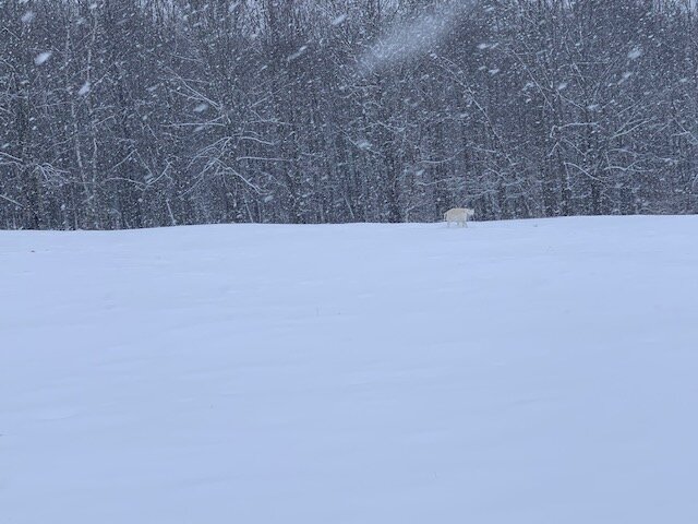
Positive busts are nice even if you only get 4 or 5 inches, especially on top of an existing pack
-
It’s been snowing Steadley although not as heavy since I found 3.5 so this is a pure estimate that I am probably just over 4 inches maybe 4 1/4?It’s been snowing Steadley although not as heavy since I found 3.5 so this is a pure estimate that I am probably just over 4 inches maybe 4 1/4?
-
Not ready to stop up here yet. Moderate 1/2 mile good growth
-
the very best refreshers when you are in a deep winter pattern, and then followed 3 days later by a slow moving Miller A blocked up since that clipper became a 50-50 under a greenland block. And followed by a Miller B as the 50-50 drifts ene and the blocken slackens off.
-
I't be nice to see a clipper, been awhile. a nice strip of 4-6 20:1 low viz Iowa style
-
dunno how long it'll last but there still is some redevelopment overhead and some pushing back n and nw with some of it. but the western edge is making progress east. but your best stuff is just starting with the upslope anyhow. Imagine with all this fresh snow, how cold all of new england will be Tuesday night/Wed morn. I'd say -20-30 up your way, I'd say -10 here, and I bet below zero almost everywhere else.
-
doesn't look like much on that radar but we still have low viz moderate snow here. viz between 1/4 and 1/2 I think and decent snow growth, but not spectactular
-
you never should've congratulated qq 48 hours before go time.
-
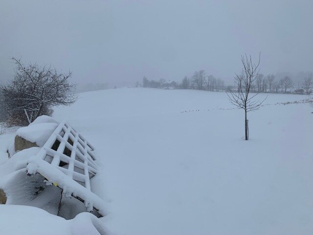
not complaining here. while my eyes said 4-5, my stick said 3.5. Gorgeous walk this morning.
-
good call you made on ratios yesterday.
-
give Ray some love...
-
Yikes I hope he gets into goodies. I think I’m on the west edge of whatever king of band is forming up here. It’s heavier than I was expecting for the last hour
-
Pretty sure I’m approaching 3. Still some back building on radar but when it moves out it might be quick
-
Ray doing well or melting?
-
I’ve got more than that and radar says you should. Are u seeing the heavier snow and better growth?
-
Little bit of a band forming back here around KCON. Brian probably sleeping and missing this. Mod to almost here now. Hope you feel better Brian
-
Great radar with little bands just rolling up on you, weenie after weenie rolling.
-
Getting a little heavier up here with slightly better snow growth. Maybe a little push as the storm bombs? Should get the 3”win threshold. Solidly moderate here 26.
-
Will knows, scooter knows, and it must be said that Forky knows.
-
-
We might have to ponder that George was right.
-
You panicked your way to 9!
-
You notice how they become conspicuously absent?
-
An inch with light to moderate. Small flakes and fairly low visibility. About an inch. Nice refresher up here, I’ll consider 3” a win


