stormy
-
Posts
1,991 -
Joined
-
Last visited
Content Type
Profiles
Blogs
Forums
American Weather
Media Demo
Store
Gallery
Everything posted by stormy
-
Jan Medium/Long Range Disco 2: Total Obliteration is Coming
stormy replied to Jebman's topic in Mid Atlantic
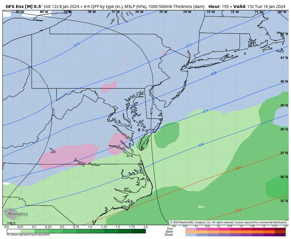
About noon yesterday when I said in this thread that "I would rather place this lp near Myrtle Beach than 275 se of NYC", I of course had no idea that future runs of the Euro would come close to that desire. I only knew from historical observation that a coastal hugger from Charleston to Norfolk with cold air in place usually does the trick for inland areas. January 29 of 1966 witnessed the coldest major snowstorm of my life. At 4 pm in Augusta County I recorded whiteout conditions with a temperature of +4. The lp at 6 pm was near New Bern in southeast N.C.. Tuesday's threat as currently modeled should make many happy with a light to moderate several inches of snow. Changes can and will occur at 5 days out. The Euro could fringe inland area's with lp 50 - 100 miles off the N.C. coast. The GFS would only give flurries with no organization but a frisky sw and incoming trough over western Va. enhances snowfall. The next few days should be very interesting! -
Jan Medium/Long Range Disco 2: Total Obliteration is Coming
stormy replied to Jebman's topic in Mid Atlantic
Make that a Hazardous Driving Warning -
Jan Medium/Long Range Disco 2: Total Obliteration is Coming
stormy replied to Jebman's topic in Mid Atlantic
Thanks for your correction! Closer scrutiny would have said the 12z ECM is OTS as modeled regarding significant Va. impact but does give significant snowfall up the coast from Delaware to Boston with the center well offshore. The GFS follows a similar track but flounders around in the Atlantic until consolidating about 200 miles east of Cape Cod on Wed. morning. -
Jan Medium/Long Range Disco 2: Total Obliteration is Coming
stormy replied to Jebman's topic in Mid Atlantic
Though the GFS has trended toward the ECM off the SC coast, the pattern is too progressive and its still OTS like the 12z ECM. -
Jan Medium/Long Range Disco 2: Total Obliteration is Coming
stormy replied to Jebman's topic in Mid Atlantic
The Big Three are all trending in the right direction. This is not the final solution but a definite sw shift with action by the current leader. My wish in this thread 2 hours ago about Myrtle Beach instead of 275 se NYC seems to be in the cards. -
Jan Medium/Long Range Disco 2: Total Obliteration is Coming
stormy replied to Jebman's topic in Mid Atlantic
April 10 -
Jan Medium/Long Range Disco 2: Total Obliteration is Coming
stormy replied to Jebman's topic in Mid Atlantic
I believe the 12z GFS is a step in the right direction. To be simple, more flakes over us. Dear God! No need to be so negative, this is 6 days away. Sure, at 06z next Tuesday I would rather place that developing lp over Myrtle Beach instead of 275 m se of NYC. Give it time and hope for the best. -
Jan Medium/Long Range Disco 2: Total Obliteration is Coming
stormy replied to Jebman's topic in Mid Atlantic
I'm happy to learn that we "got almost nothing" from a professional meteorologist 47 years ago back in Feb of 1977 when we should have "gotton buried up to the second floor of our houses". Some on this board seem to believe that severe snow droughts have only occurred in recent years. 76-77 was very cold with the up-slope mts. to our west getting buried while we often came up frigid and DRY. -
The models predicted minimal winds west of the BR on Monday.
-
The US Geological Survey at 3:15 pm gives the following data for the D.C. Little Falls Pump Station on the Potomac. Gage height 3.90 Ft. 24 hrs. ago gage height 3.55' . Up about 5 inches. Downstream from DC runoff I would guesstimate a 1 ft. increase. But strong s and se winds are producing a backswell rise from the bay. High tide at Alexandria is coming at 6 pm. This exacerbates the problem.
-
I seriously doubt this.
-
2.00" at 4 pm. 39 degrees at 4:30.
-
I'm dry at only .92"
-
Jan Medium/Long Range Disco: Winter is coming
stormy replied to stormtracker's topic in Mid Atlantic
My lifelong fascination with the weather and 60 years of observations tell me that Jan. 15 - Mar. 15 will produce. This winter is removed from recent crap. Just please be patient and give it a chance. -
Jan Medium/Long Range Disco: Winter is coming
stormy replied to stormtracker's topic in Mid Atlantic
GFS just can't jel with the front on Monday. Tomorrow will be better. -
Jan Medium/Long Range Disco: Winter is coming
stormy replied to stormtracker's topic in Mid Atlantic
At 5.9 % I can enjoy with a little buzz. 11.7% would put me on a psychedelic spin. -
Jan Medium/Long Range Disco: Winter is coming
stormy replied to stormtracker's topic in Mid Atlantic
I am sipping on a Natural Ice right now. Whats your pleasure? -
Next Wed Morning at +6 will be a little more in tune.
-
A WWA has been issued for western areas: https://forecast.weather.gov/showsigwx.php?warnzone=VAZ025&warncounty=VAC015&firewxzone=VAZ025&local_place1=3 Miles WNW Dooms VA&product1=Winter+Weather+Advisory&lat=38.1291&lon=-78.9004
-
Jan Medium/Long Range Disco: Winter is coming
stormy replied to stormtracker's topic in Mid Atlantic
12z 1-16, Euro gives the Central Valley .50" of new ice with a surface temp. of 24 degrees. Welcome to the skating rink!! 850 temps have dropped from +4 to - 9 in 6 hrs! Temps. fall all day to 12 by 7 pm. -
Oragraphic lift will create some very heavy downpours on the eastern slopes of the Blue Ridge. Would expect some 4 - 6 inch totals.
-
Jan Medium/Long Range Disco: Winter is coming
stormy replied to stormtracker's topic in Mid Atlantic
The signal is clearly there on the GEFS. The op ECM is there, the GFS and GEM ops. are sniffing.

-
No snow here today but about about .80 freezing rain. The rain makes me happy!
-
That sounds like home style cookin!! Gets me up for a steak in about an hour.
-
The same can be said of the GFS, Euro, GEM. None of the models predicted how much we would warm overnight upstairs after the HP moved offshore. Especially western areas. This threw everybody and everything including the NWS for a loop.