Spanks45
-
Posts
4,368 -
Joined
-
Last visited
Content Type
Profiles
Blogs
Forums
American Weather
Media Demo
Store
Gallery
Everything posted by Spanks45
-
72.5⁰ for the high, definitely quite warm in the sun. Not interested in the 40s being forecasted next week. No thanks....
-
66 here after a 62 yesterday....great couple of days. Problem is the fruit trees, peaches especially are swelling. This is actually ahead of last year and we lost all of our peaches and apples due to the late freeze.
-
It is impressive how as we move through March...the same general theme is popping for SNE. Euro has plenty of shortwave flying around, with what seems to be just cold enough airmasses. But nothing really develops from any of them. But rest assure we will end up with a nice wound up low that will pull through just as the cold disappears. A few nice gusts here as the sun broke out, but otherwise just a normal breezy day. Feels warm with the sun out, despite the breeze....
-
Kinda has that something is going to happen vibe, but the details are a big TBD....
-

It was a Flop... February 2024 Disco. Thread
Spanks45 replied to Prismshine Productions's topic in New England
Good....ready to flush this winter and pick ticks off the kids for the next 8 months Sneaky ice everywhere this morning despite the temps hovering a hair above freezing. Always a fun phenomenon when that occurs. -
It was a Flop... February 2024 Disco. Thread
Spanks45 replied to Prismshine Productions's topic in New England
Garlic coming up.... -
It was a Flop... February 2024 Disco. Thread
Spanks45 replied to Prismshine Productions's topic in New England
7.4⁰ this morning....still hoping for that warmup soon. -
Robins are out too it seems....
-
Saturday February 16th - Another CT/ Cape special?
Spanks45 replied to Sey-Mour Snow's topic in New England
Luck....I guess we will call it a win in the 2 year disaster it has been. I have noticed in the past 4 winters if the flow is just right, we will get trainng streamers. It has to be perfect though, any other direction and our "hills" dry everything out. -
Saturday February 16th - Another CT/ Cape special?
Spanks45 replied to Sey-Mour Snow's topic in New England
Had another 1" with he squalls, 3.2" total -
It was a Flop... February 2024 Disco. Thread
Spanks45 replied to Prismshine Productions's topic in New England
6.3⁰ this morning, should finish the winter without a sub 0⁰ temp....first time since I moved here. Ready for some warmth and spring vibes. Another 2 week winter in the books. -
Saturday February 16th - Another CT/ Cape special?
Spanks45 replied to Sey-Mour Snow's topic in New England
Impressive as it is, temp dropped down to 28.8⁰ and under the mid February sun, all melted on the roads even my south facing paver walkway, no accumulation. Sun angle is real already down here... -
Saturday February 16th - Another CT/ Cape special?
Spanks45 replied to Sey-Mour Snow's topic in New England
Impressive squall coming through right now...probably pick up an extra inch at this rate -
Saturday February 16th - Another CT/ Cape special?
Spanks45 replied to Sey-Mour Snow's topic in New England
2.2" here...even had to shovel Puts me at 22.2" for the season -
Saturday February 16th - Another CT/ Cape special?
Spanks45 replied to Sey-Mour Snow's topic in New England
1.7" of fluff here, still snowing nicely....27.1⁰ -
It was a Flop... February 2024 Disco. Thread
Spanks45 replied to Prismshine Productions's topic in New England
Snow mecca down here....lol -
It was a Flop... February 2024 Disco. Thread
Spanks45 replied to Prismshine Productions's topic in New England
I hope not, I don't want to lose my fruit trees, 3 years in a row....talk about CC(jk, sort of....) Massive warmups in late winter followed by winter in late April/early May. -
11.8" westside of Southbury....
-
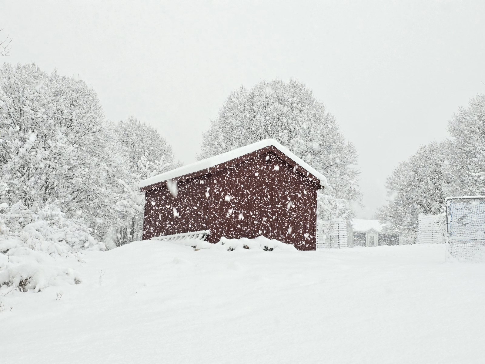
Yup, same here...10.5" vs 11.8" This picture doesn't even do the snowfall rate any justice....had to have been pushing 3"/hr
-
Compacted to 10.5" Cleared at 7.0", Just measured an additional 4.8" Final 11.8" in Southbury, CT
-
8.1", maybe another inch or 2?
-
7.1", heavy snow picking back up now....
-
6.3"....keep this up and it might be double digit 30.7⁰ Southbury
-
map for posterity?
-
5.4" and pouring snow.....