IronTy
-
Posts
2,969 -
Joined
-
Last visited
Content Type
Profiles
Blogs
Forums
American Weather
Media Demo
Store
Gallery
Everything posted by IronTy
-
What the flip? Just arrived at the cabin, 57F on top of the mountain with a stuff breeze. Had to put on a sweater, feels like fall! Lighting for moths tonight is probably going to be a letdown.
-
RIP winter 2026-2027...we never even knew ya. Quick @Weather Will post up that CFS DJF prediction to steer us back toward the light. Or somebody post up the latest JB tweet to give us hope.
-
Lol, a 2-3DegC BN DFN temp and 6-8" AN DFN precip...what could go wrong?
-
0.12" total. Unbelievable.
-
If that line holds together I might get hit but looks like a whiff for you. Maybe it'll fill in a bit more.
-
0.03" according to my new gauge from the shower that moved through...a veritable monsoon for us.
-
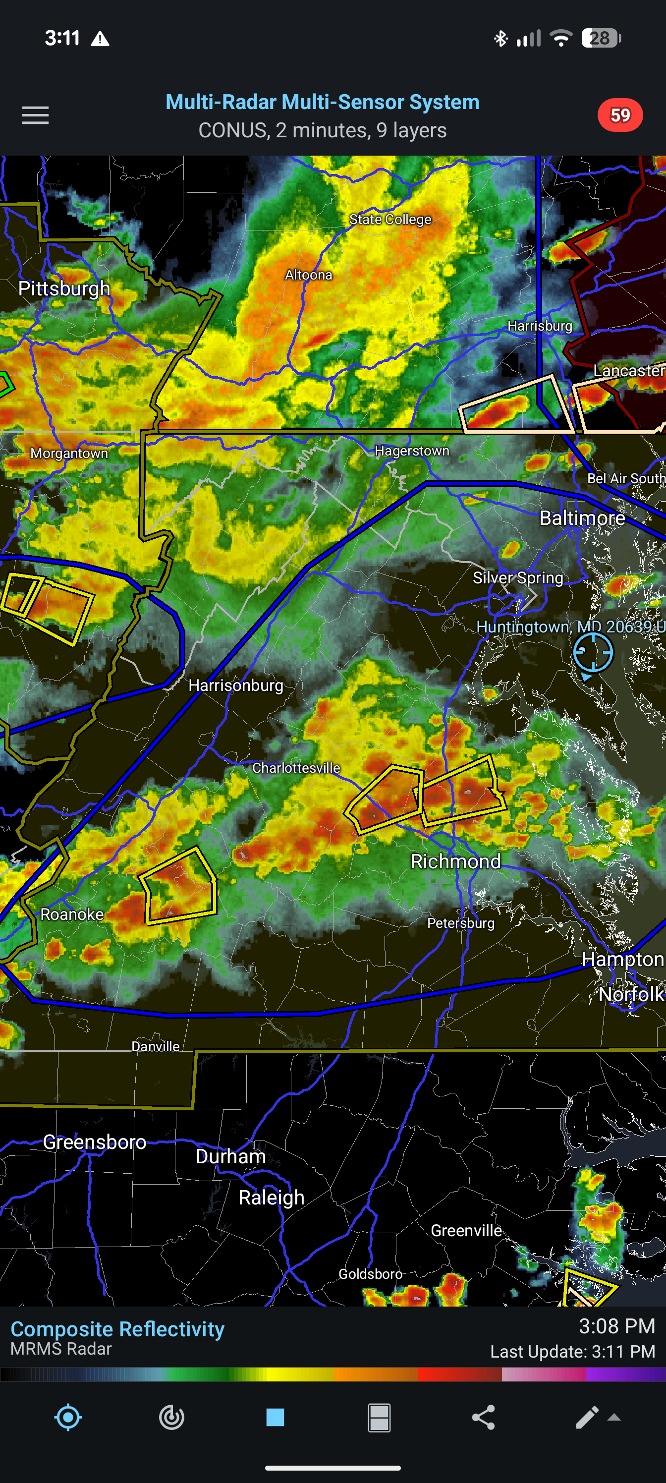
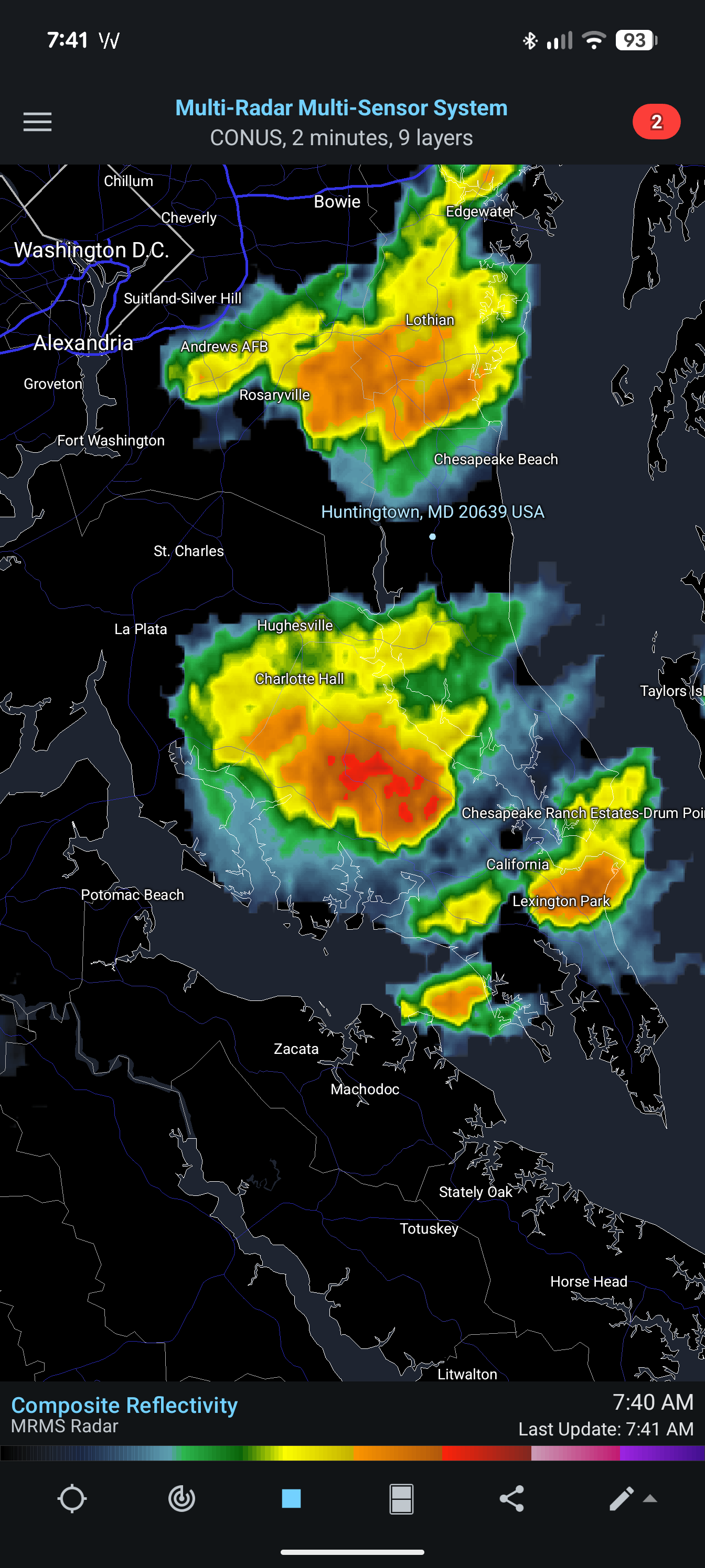
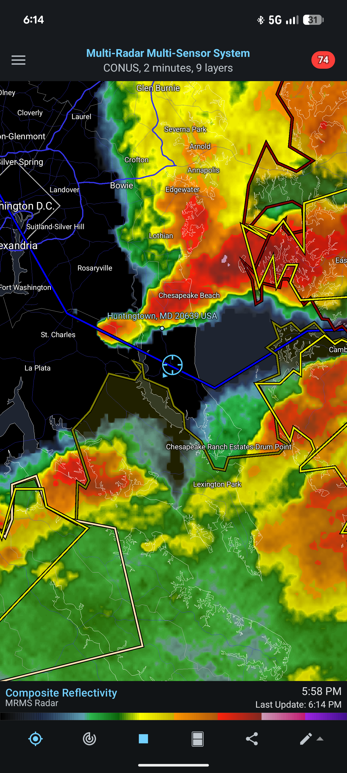
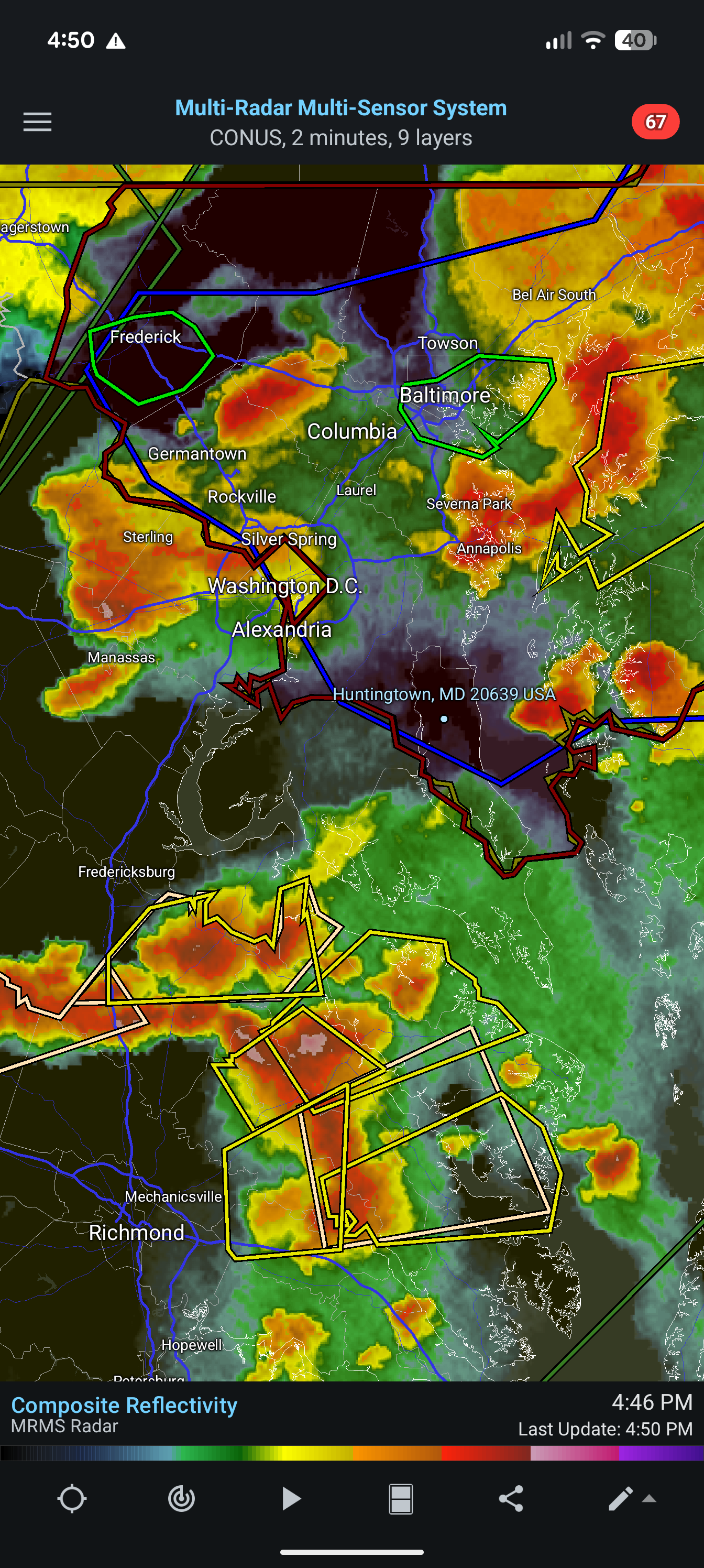
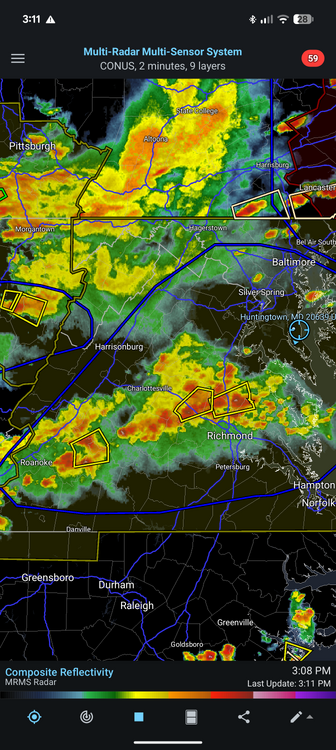
Oh look it's the SoMD precip split in full effect. I recognized the signs before the precip had even exited SE Ohio. It's so predictable. Try harder, weather gods.
-
Woke up last night a few times and each time I heard a light steady rain which is good for the drought. Unfortunately I didn't put my new rain gauge out because none of the forecasts showed any rain for us!
-
Maybe in October on the day of peak leaf color we will get a big noreaster and it'll dump all the leaves in a couple hours. I'd be for it if it means a couple inches of rain.
-
For some reason mine didn't come with the rods. It's like they forgot to pack them. Luckily the birds have plenty of better choices for perches around here so hopefully it won't be an issue.
-
Cigar on the porch, what a night. My Tropo precip gauge came today so that should usher in the next phase of drought.
-
My neighbor was cutting his lawn (hay at this point) yesterday and there was so much dust being kicked up by the mower that I understood how the dust bowl happened.
-
Is it supposed to rain today?
-
You don't fool me, weather. I can see the SoMD split teeing up already.
-
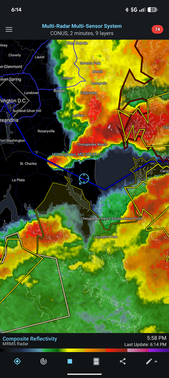
The Huntingtown split was in effect yet again this morning. Feels extra gross out too.

-
SoMD precip hole confirmed - the GFS will be the one that verifies.
-
Yeah after the last two years I don't even care if it snows down here this winter , I'm just fine with noreaster after noreaster of 40F and rain (I'll change my tune in December).
-
Yeah, this pretty much sums up the last 12mo. What a waste.
-
What the hell is it with this precip split for Southern Maryland. It's been all summer. Rain north, rain south, black hole in the middle. We better make up for it this winter.

-
Rode my motorcycle to/from the gym this morning. Definitely a hazy, orange sunrise. But I couldn't smell any smoke or anything, even on my bike, so it didn't really bother me.
-
Isn't that the guy that flip flopped back and forth and was wrong all last winter?
-
I spent the first 25yrs of my life in Michigan (born 1980) and not once do I recall anything about wildfire smoke. I didn't even know it was a thing until after I move out here.
-
Watching that outflow coming SE from PA while sitting on the stoop downtown and really hoping it at least brings a breeze as it hits us.
-
Not sure on totals from yesterday's storm. Prince fred Mesonet says 0.28" but at my place about 2mi north you wouldn't surprise me if you said I got 2.8". It dumped here for a while and was very heavy. Way more than a quarter inch. There must've been some cutoff shenanigans or something.
-
It's definitely happening. That big storm has its eyes on Calvert. Was out taking care of caterpillars and tons of thunder and the humidity can be cut with a knife. Gonna be a drought buster for sure.