MN Transplant
-
Posts
17,659 -
Joined
-
Last visited
Content Type
Profiles
Blogs
Forums
American Weather
Media Demo
Store
Gallery
Everything posted by MN Transplant
-
*Looks at water bill* Yeah, my family.
-
Mowed the yard today and didn't see one living cicada.
-
Some of the impacts around my house

-
Nice. I am close enough to the attic vent that power-over-Ethernet is a good option. I’m more worried about it pointing directly at the sun. Not sure if that is a problem for the electronics or not. It is weatherproof, but I put an acrylic anti-squirrel disk above it as a cover. Obscenely nice out this morning. June gets a bad rap sometimes, but it can come through with really nice days.
-
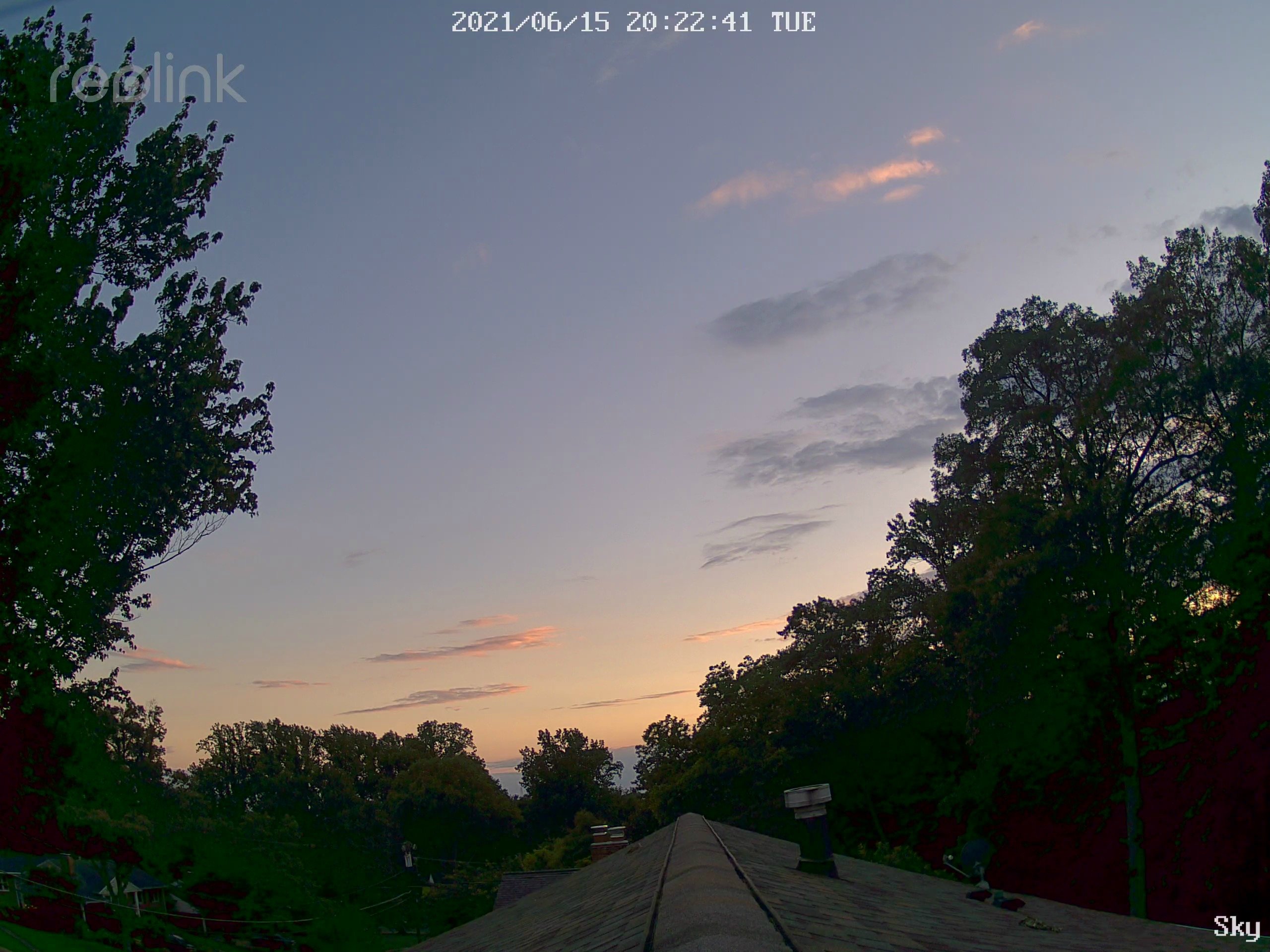
Put one of my cameras up on the anemometer mast. Not sure how it will do up there, but it is a good start. View is WSW.

- 879 replies
-
- 10
-

-
2021 Mid-Atlantic Severe Weather - General Discussion
MN Transplant replied to Kmlwx's topic in Mid Atlantic
Good storms. ~1.5” here, 1.83” at DCA. Radar estimates were too high inside the Beltway. -
2021 Mid-Atlantic Severe Weather - General Discussion
MN Transplant replied to Kmlwx's topic in Mid Atlantic
What I don’t like is how that front-runner cell W of DC fell apart before the Potomac. Doesn’t give me warm fuzzies about the instability near me. -
2021 Mid-Atlantic Severe Weather - General Discussion
MN Transplant replied to Kmlwx's topic in Mid Atlantic
Good eye. Really shows up well on TBWI. The BWI wind flipped east and DP shot up around 7pm. -
2021 Mid-Atlantic Severe Weather - General Discussion
MN Transplant replied to Kmlwx's topic in Mid Atlantic
Already have the initiation around Warrenton that was advertised. -
I wonder if they are getting a bit of upslope. Quite wet around Brunswick.
-
The jack is already setting up on radar. Wherever that NW/SE line stalls, but the big time amount looks like it will be down along the Potomac.
-
6.2” just north of Richmond too. Hit and miss, but the hits are big time.
-
Yeah, there isn’t a PWS close enough to that spot. One at 4” just NE of Winchester. Now 8.3” on the one NW of Culpeper.
-
That area just NW of Culpeper, yikes. 7”+ ground truth and still really coming down.
-
Radar indicating 8”+ north of Winchester. One PWS at 6.2”.
-
Radar indicated 4-5” is West Springfield. Ground truth of 3” on a PWS there.
-
0.38” which I’ll take.
-
Yeah, but who is making it easier to copy into a spreadsheet!
-
We leave ours on all of the time for a couple of reasons: 1) air filtration and 2) tapping into the natural cooling of our walk-out basement. It is a 2014 install and I’ve been very happy with the energy usage.
-
That deck of mid-to-high level clouds didn’t do us any favors early, but it is up to 90 here and disgusting, so we wait.
-
One of the things that I didn't anticipate when moving to the east coast was the lack of sirens. They are ubiquitous in the center of the country.
-
Unpleasantly warm for early June. Four straight 90s and three with lows >70. Save that crap for July.
-
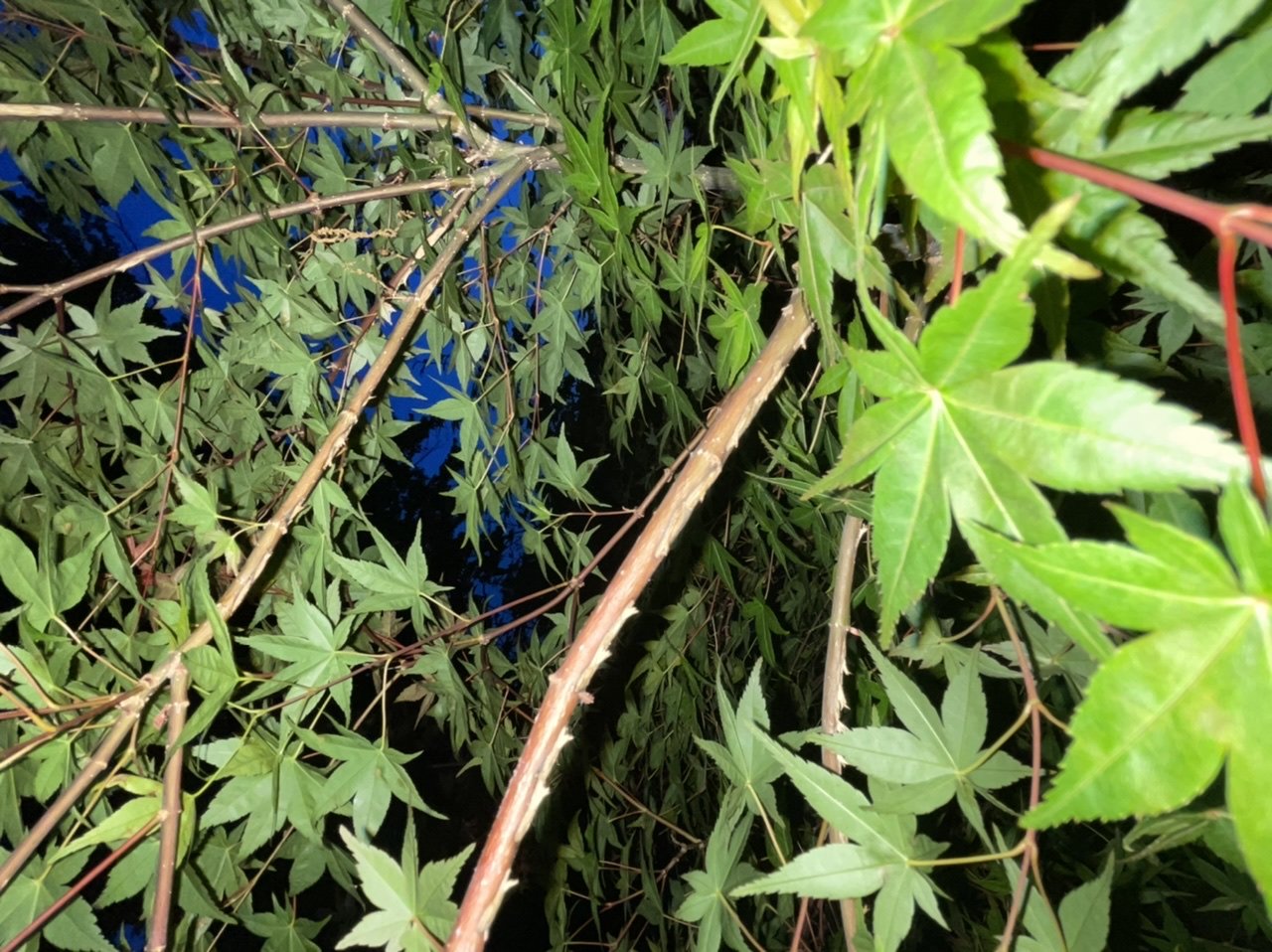
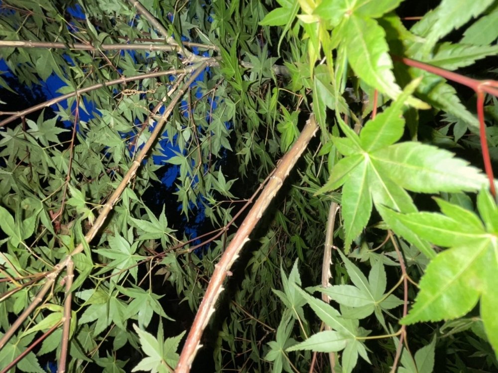
I was coming into this thread to mention this. Noticeable now on my oaks and very light on a few others (river birch, witch hazel, dogwood). Nothing on our japanese maples, which is what we were most concerned about. I did cover about 10 "vulnerable" trees, but clearly not tight enough because they made it inside. Hoping it is enough of a deterrent to keep the ladies from doing their thing, though. Also, the sound has really ramped down in the last couple of days and fewer are flying. Feels like last weekend might have been the peak here.
-
The cicadas are pushing the boundary back into DC
-
Do I get a win for following the directions? 99 _ 99 _ 101 _ 101