greenmtnwx
-
Posts
595 -
Joined
-
Last visited
Content Type
Profiles
Blogs
Forums
American Weather
Media Demo
Store
Gallery
Everything posted by greenmtnwx
-
Octorcher or Roctober 2023 Discussion Thread
greenmtnwx replied to Damage In Tolland's topic in New England
Not sure what’s more disappointing in Stowe this season, the foliage or the $47 toll road fee lol -
Octorcher or Roctober 2023 Discussion Thread
greenmtnwx replied to Damage In Tolland's topic in New England
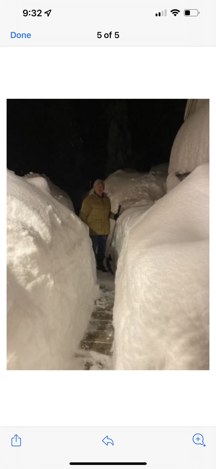
Visited my son this last weekend at Montana State University. Had some early snow up on Lone Peak in Big Sky. Another 3-5” tonight. Some crazy weather they have out there and winter never far away in the high region. He looks forward to getting in 60+ days at Bridger Bowl and Big Sky.
-
4.3” and counting red bank nj
-
Wake Me Up When September Ends..Obs/Diso
greenmtnwx replied to 40/70 Benchmark's topic in New England
It’s early but definitely no signs of a bad or dying foliage season there. Look like healthy trees just in the early phase of changing. You should be at peak in about two weeksYou should be at peak in about two weeks -
This is and always has been a Canadian Maritime storm. The one behind it could be more interesting though.
-
Stick with climo, not DIT lol
-
Extended summer stormlover74 future snow hole banter thread 23
greenmtnwx replied to BxEngine's topic in New York City Metro
Southern Greens, VT. I’m at close to 2k feet between Stratton and mount snow. I average over 125” some years the area can get closer to 200, especially in the resort peaks. Wilmington, Dover, Manchester all very nice towns. Ski, golf, fall foliage, a larger year-round presence now. Beautiful lush rolling green mountains. I stole both my log cabins for under $120k each, both a bit over 1k square feet. Right place, right time. Can be there from my home camp on Jersey shore in an average 4.5 hours, often closer to 4. -
This summer basically never got started. Are there any signs that we break into a real summer pattern any time soon? Hot, sun, beach, pool weather. The 85-95 with sun for an extended stretch, pool temps warm and you can go to the beach with a confident hot and sunny summer day type weather?
-
Secretly Forky enjoying this weather. What a summer lol, feel the chill
-
It’s early but this summer better start summering or it just might not at all.
-
Yes sir Jerry
-
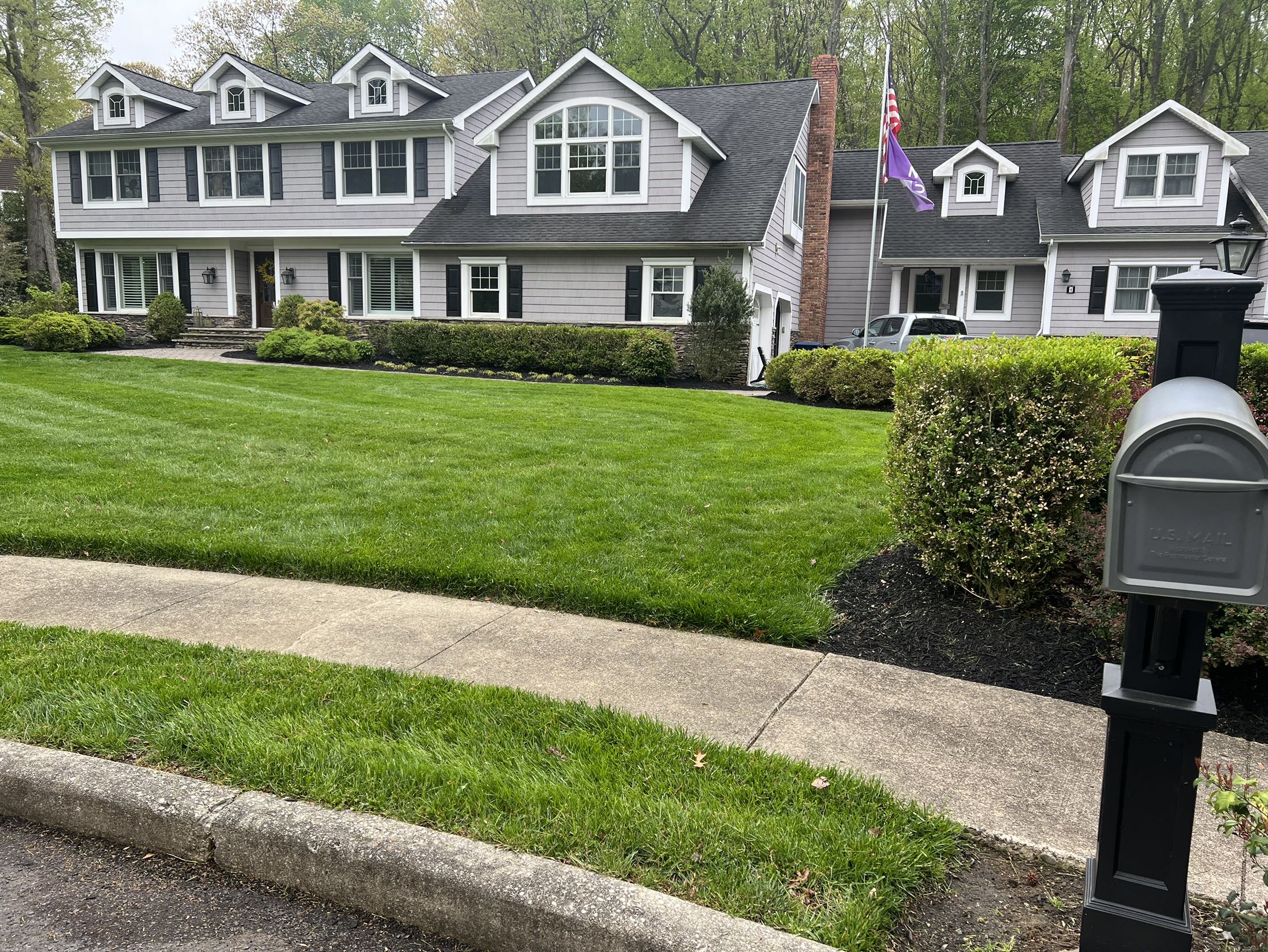
We use only organic product, bone meal, etc. I know what you mean though, but in suburbia I’ll take a nice green lawn for four or five months.
-
Been wet and cold with probably 5” on rain in the lowland home front. Lawns are green though.

-
Florida in their heads
-
God bless buddy.
-
Guys a tool.
-
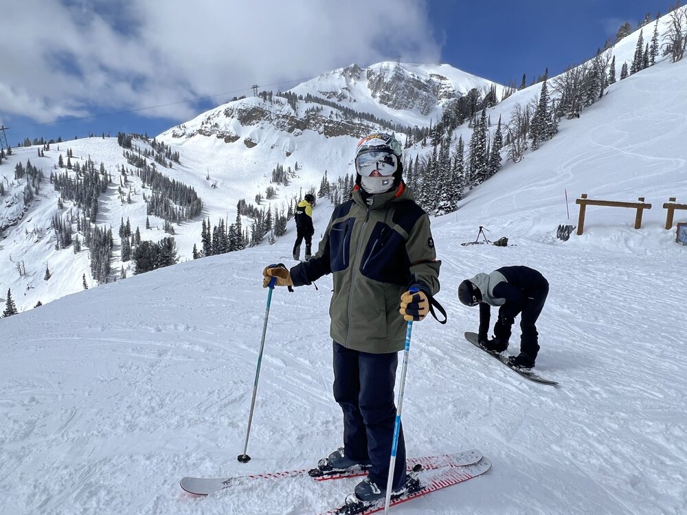
Jackson Hole just phenomenal. Crazy to think they close Sunday with just an epic amount of coverage.
-
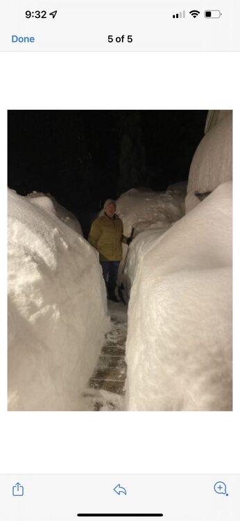
Aside from K-Mart looks like things winding down next two weeks. I know the last month has made up a lot of ground but to be honest all in all I would rate this ski season pretty poor. Very slow start, terrible middle and a strong third quarter followed by not so great finish. Mostly though, it lacked the cold, the number of chances and the overall ski vibe to me. The lack of any winter in the population centers I feel hurts the overall ski vibe too. A really, really good month long stretch saved it from being a disaster, but was not a great year. One other factor often overlooked with ski conditions is the effect of rain, thaw/freeze issues even on top of a massive dump. For example, the 50” of snow we had in a couple of weeks skied as poorly as that kind of base can. Lots of glaze after and untimely thaw/freeze.
-
Headed to Jackson Hole for the week.
-
My son attends Montana State University which is just an hour or so up the road to West Yellowstone. I’ve visited in both seasons and it’s a cool little town. It’s very quiet in winter. Quite a few sledders but otherwise a pretty quiet stop off point between places like Jackson Hole and Big Sky. It’s really an incredible part of the country in all seasons. They’ve had an incredible winter. They don’t necessary get the huge dumps like the Sierras or Little Cottonwood Canyon, but they are cold and get frequent snows that just pile up all season. I was thinking the same as you, how much time has a place like West Yellowstone spent above freezing since November?
-
Off topic but with the discussion of places to live, any thoughts, opinions, recommendations on future retirement places (maybe not full year but part year)? Lake Placid region, Stowe area, Mad River, New Hampshire lakes or Whites region? Funny I had a conversation with a client this week in NJ that had bought a very expensive home in CO as a second home and to visit their daughter that’s been living out there years. After owning a couple years now they are selling because they’re daughter and her family want to move east again to New England. They got tired of poor air quality, wildfires, no water, no water for recreation, Californians moving into the area in droves. So looking back north east.
-
I’m in a similar boat here living a few minutes from the ocean here in Monmouth County, NJ and the cabin in the Greens. The optionality of both is a nice feature.
-
Wardsboro VT
-
Wardsboro VT

-
According to my rough numbers about 74 inchesAccording to my rough numbers about 76”