

MarkO
-
Posts
3,397 -
Joined
-
Last visited
Content Type
Profiles
Blogs
Forums
American Weather
Media Demo
Store
Gallery
Everything posted by MarkO
-
Will be initeresting to see what the euro does.
-
Looks like Sunday River beat out Killington to open first... by a few hours.
-
 terrible scene on '93 in Thornton
 -
Lowell ended up with about 1/2" last night, but prettymuch all gone when I woke up this AM. Looks like 2 or so inches at cabin. Still snowing there, but probably not much longer.
-
Salt truck just came by. A bit surprised, but then again, it's starting to accumulate on paved surfaces. It's good to see Lowell is on top of it. 32.7/30.4
-
Precip started as mangled flakes and 37.9/29.6. We'll see if we can get the column to cool
-
I was thinking 36 was DP.
-
Is that a Coventry log home?
-
Looks like there are a few homes in the northwest part of town that are in the 1000' elevation. Here's one that will compete with Phin: https://www.redfin.com/CT/West-Simsbury/47-Highridge-Rd-06092/home/54002316
-
I'm guessing they could lay down 5' wall to wall by this Saturday, nevermind the following.
-
Below normal temps the next 2 weeks. Can only imagine their electric bill is going to be.
-
I guess any opportunity and they will
-
The second/vacation home market in my area of NH has nearly doubled over the past 3 or 4 years, but it seems a correction is beginning to happen. I think the trend will continue especially in the second home market which seems to be more volatile. It's pretty wild though to think I was able to buy a 1 acre lot with mountain views for less than $10k 12 years ago. Some of the lots just a couple years before that were selling at auction for under $2k. Just picked up the IKON pass. Hope to get in a trip out west and maybe a weekend at Tremblent or possibly a little summer skiiing at Vallle Nevado. At least that's what my buddy has in mind, but a lot will depend on whether the new housing starts don't come to a screeching halt.
-
How are the snow depths in Siberia? Speaking of which, has Judah Cohen spoken about this winter?
-
I hope she moved.
-
I was thinking that as well. My SIL has a house about 10 miles northeast of FMB and although that may sound like a lot, it's only about 15' above sea level and all those canals, who knows how far inland the surge/flooding will get. Even though they'reabout 15' above sea level, the FEMA 100 year storm is 15'. Probably designed to be an inch over flood zone. FEMA going to go broke. Kinda reminds me of Sandy. This one is going to be costly.
-
I had been watching the waves from the Lana Kai hotel webcam this morning until it went offline about 3 or 4 hours ago. At that time, it appeared the waves were at the building line. These twitter feeds prove what I suspected. You look at where FMB is located in relation to the eye/eyewall and you can only imagine how high the storm surge must be.
-
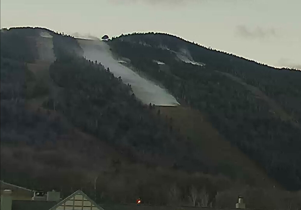
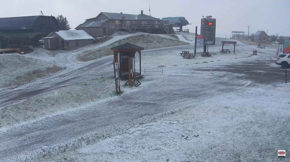
I didn't know they had an elevated webcam. I spy flakes
-
looks like flakes at SB:https://www.facebook.com/watch?v=3254095488166852
-
Tremblant
-
Cold front just passed through MWN, Temp dropped 10F in past 90 minutes. Down to 36.7, coudl see a flip to snow soon.
-
6" on the nose for the month. Not sure why we're still in a moderate drought. I've had a little over a foot since June 1st. That's averages about 3.25"/month.
-
There's been talk of widening 93 through Concord to 3/4 lanes. I believe it's still in the design phase. Supposedly it won't be finished until the mid 2030's. All the bridges will have to be replaced, and the existing highway runs immediately adjacent to the Merrimack River. It looks like I'll be doing a lot more driving at night. It's gonna suck.
-
New England heavy rain event Sept 5/6 2022. Does this end the summer drought?
MarkO replied to wxeyeNH's topic in New England
I got the same exact total 3.38" Sunday, 0.84" today. -
New England heavy rain event Sept 5/6 2022. Does this end the summer drought?
MarkO replied to wxeyeNH's topic in New England
That does seem a bit high, but I guess if you can slide the goal posts between the maximum 60 days of precip, it seems at least plausable.


