MarkO
-
Posts
3,401 -
Joined
-
Last visited
Content Type
Profiles
Blogs
Forums
American Weather
Media Demo
Store
Gallery
Everything posted by MarkO
-

The last hurrah? Putting all the eggs in the Tuesday 3/14 basket
MarkO replied to Ginx snewx's topic in New England
Anyone have a link to Walter Drag? I'd love to hear what he's thinking -
-
Windier than expected, took out my palm tree. 10.5"
.thumb.jpg.9e5d671c27836ccb604d0a95f923674c.jpg)
-
Shwendi
-
Doesn't look like much in Lowell. Maybe 2 or 3, but a solid 8" up here. The pack has got to be closing in on about 20". 27.8/26
-
Up to 31.5F, but still all snow. Looks like a warm layer around 4k. See if it turns to sleet or rain. Looks like a few inches new.
-
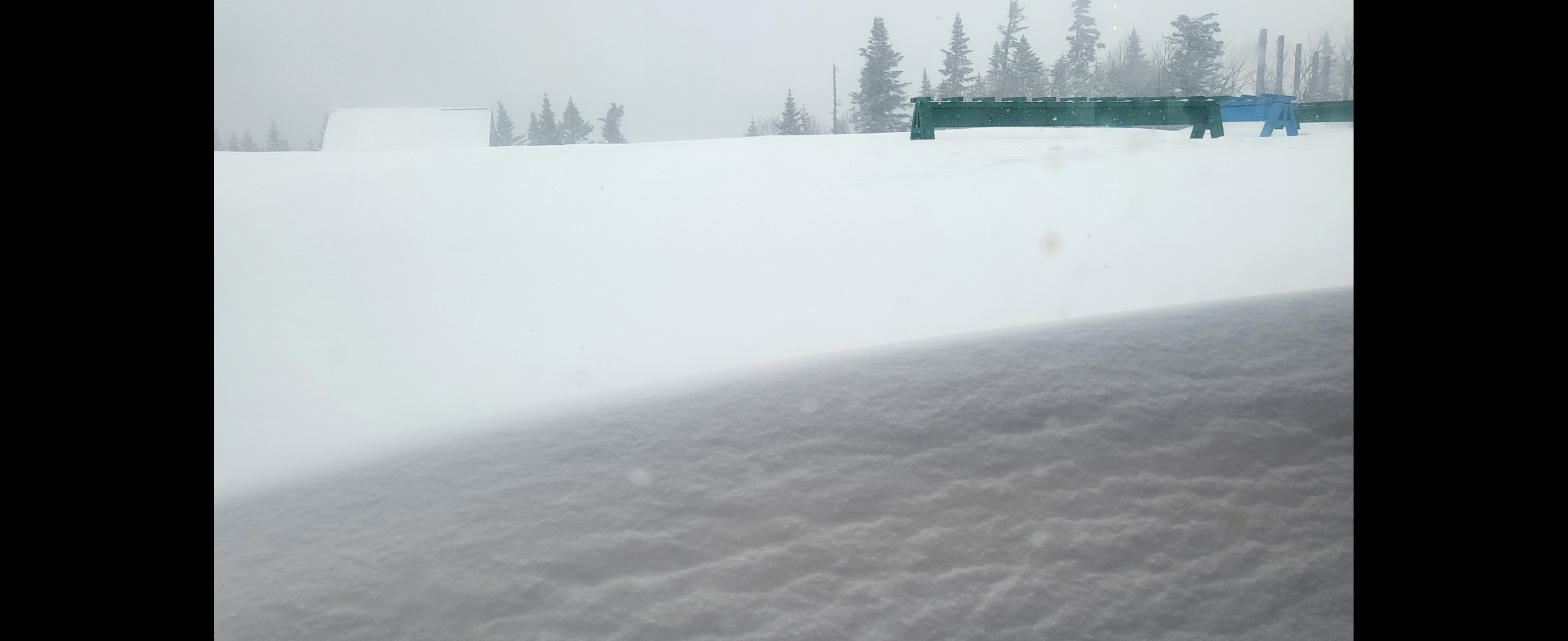
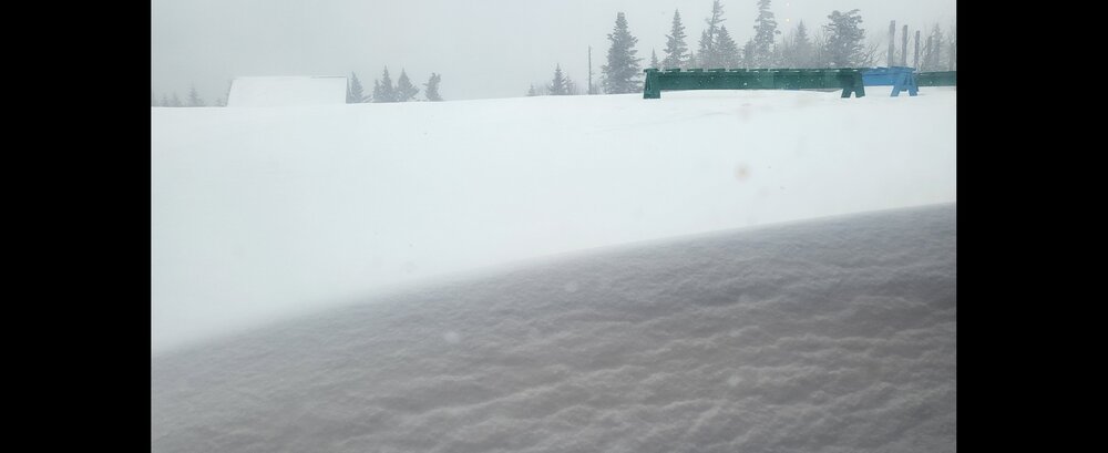
Didn't bother with a measurement from Lowell, but I'd wager it was between 2 and 3 inches based on what I cleared off the driveway. The light stuff throughout the day hasn't added to the totals. It'll probably measure less now due to melting and compaction. Deep winter look to the snow up north. A little difficult to determine how much has fallen from this storm. I'm guessing 5 or 6" and still coming down at a moderate rate. Could be another overproducer up there. Looks like the temp up there is back on it's way down from a high of 28.3F.
-
Any chance of NorLun band with this?
-
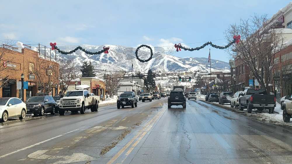
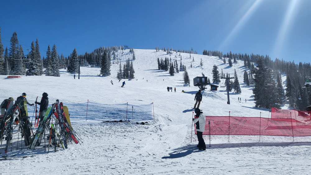
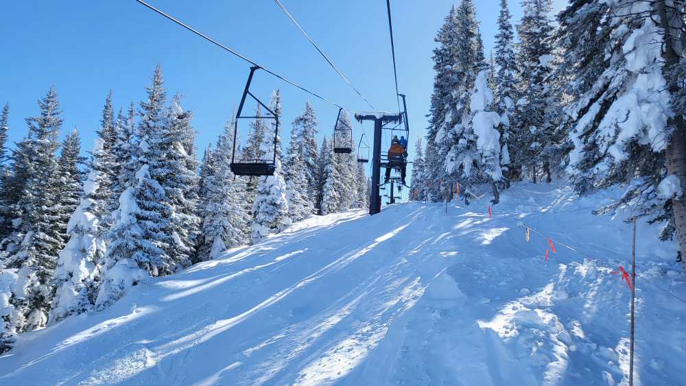
Plenty of snow out west. Close to 30' so far this year at Steamboat. Unfortunately for me, they were closed last Wednesday missing out on only one of the two days I could ski. But what a great mountain and a direct flight from BOS to HDN and only about a 25 minute drive to the mountain from the airport. Definitely going back!
-
balmy 50F. What's the official word from MWN? Trying to decide figure skating world championships or flag football?
-
-47.1 MWN, -19.5 cabin, -12.5 Lowell. Haven't heard from Kevin, but if he's sitting on a flag pole, he should have used extra lube.
-
-12.5
-
I'm tapping out. -11.7F in Lowell, -18.9F in Thornton
-
I wish I was there. I think I bottomed out in Lowell
-
-18.9 with squalls.
-
-11.4, take that
-
-11.0 coldest I've ever experienced in Lowell. Just ran 1/4 mile with my son in shorts and t's on his birthday.
-
Love it. Defining event of the 2022-2023 winter.
-
-18.2F. All time low for me
-
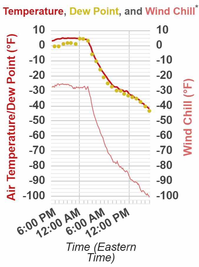
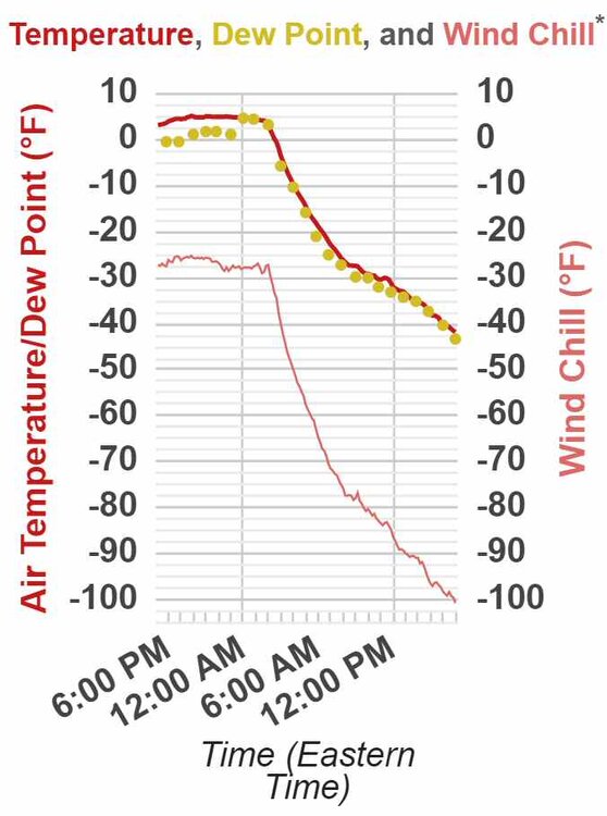
MWN just hit -44.6F, -106F WC
-
The slope is impressive. All time low of -47 in jeopardy.
-
-14.1F prior to sunset. 20 degrees warmer here in Lowell. 27 degrees colder at MWN. Unreal!
-
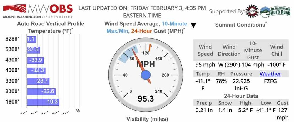
There you have it -100F wind chill
-
-99F wcf
-
-37.6 -97F wind chill on the rock pile. Looks like -100F is within reach. -7.2F cabin, 11.5 Lowell
.jpg.f57f4ae1214d8c5de50d81bbf99720ab.jpg)