

Kmlwx
-
Posts
13,613 -
Joined
-
Last visited
Content Type
Profiles
Blogs
Forums
American Weather
Media Demo
Store
Gallery
Everything posted by Kmlwx
-
Well per the TBWI radar, the bay breeze has made it west of me here in Odenton and it continues to push west a bit. So if that will be the dividing line/focal point for severe storms vs more garden variety stuff - then a good chunk of the area will be east of that.
-
It seems no enhanced with the 1630z outlook.
-
As @high risk indicated I am watching dewpoints like a hawk. The HRRR really mixes things out which it is prone to do - but even some models that keep things moist don't produce much today. We'll see - but I still think somebody is in for decent storms.
-
Mesoanalysis showing strong CAPE tongue building into the areas east of Frederick or so.
-
2008 and 2012 both had a "heater" period where things just wanted to pop off more often that year. Obviously it's probably due to persistence and various patterns wanting to repeat for a little while (same as in winter for us sometimes!). 2011 as well - heck....looking back that was a HOT period of years clustered together.
-
-
This has the feeling of being one of our "runs" of severe risk. Been a while. When this happens it can last a week or two anecdotally
- 1,680 replies
-
- 3
-

-

-
- severe
- thunderstorms
- (and 7 more)
-
Anne Arundel Co FD has a crap ton of calls
-
Also - looking out ahead - the NAM twins are fairly bullish for Sunday at range.
- 1,680 replies
-
- 1
-
-
- severe
- thunderstorms
- (and 7 more)
-
Potent DCAPE over the area if nothing else.
-
The 09z RRFS pops a decent cell over MoCo around 20z but it's pretty meh otherwise. Looks for sure like any threat might be focused S and E of DC.
-
Nice outflow/gust front winds but pretty mundane with the precipitation itself. Still will be nice to drop the temperatures tonight...still will be soupy but it was brutal out today.
-
I'm surprised it wasn't a touch higher, honestly.
-
I can't imagine their page is hosted onsite - but I may be wrong. Probably just coincidental.
-
Actually even see a 75-76mph pixel on the LWX base reflectivity tilt.
-
DCA is going to get rocked in a sec. Wind core almost heading right for the airport/Arlington. I see 70+mph pixels on LWX
- 1,680 replies
-
- 1
-
-
- severe
- thunderstorms
- (and 7 more)
-
Any reason that it seems to be more prominent this season than prior ones? Or is that just recency bias?
-
Our vantage point looks super similar - I could probably yell our "SNOWFAN" and you might hear it.
- 1,680 replies
-
- 1
-

-
- severe
- thunderstorms
- (and 7 more)
-
It seems like LWX will warn a huge swath and then if an area of considerable or destructive nature shows itself they will put a warning inside of the warning. I can see it from both sides...I think they do it because of the metro corridor honestly.
- 1,680 replies
-
- 1
-
-
- severe
- thunderstorms
- (and 7 more)
-
It's interesting because anecdotally we have seen them bring through robust lines only for relative minimums to occur in swaths of our area. But yeah - this has been an interesting season of modeling.
-
The shape of the velocity signature sort of makes me think there's a slight chance of a little kink or enhanced area that may be prone to spin briefly. But certainly not a strong tornado risk or anything - maybe more like a gustnado if that keeps up.
-
- 1,680 replies
-
- 4
-
-
- severe
- thunderstorms
- (and 7 more)
-
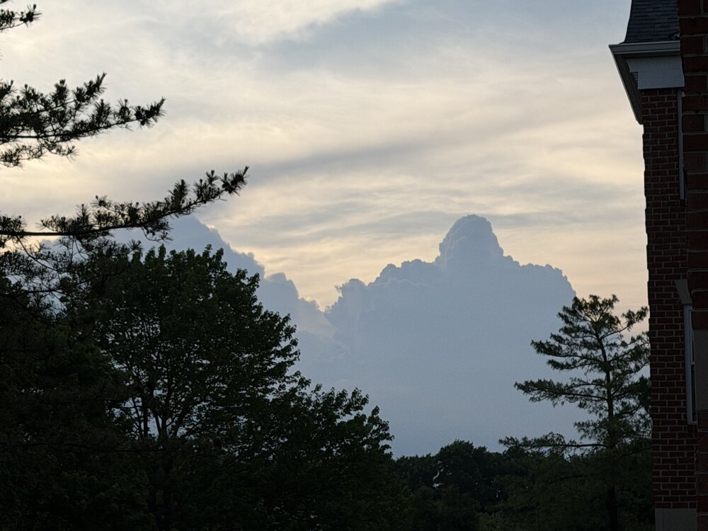
Next segment of the area warned now. can see the profile of the storms looking west from Odenton, MD right now. Looks cool!
- 1,680 replies
-
- 1
-
-
- severe
- thunderstorms
- (and 7 more)
-
The LWX specialty warning size lol
-
The timing may be after daytime heating is subsiding - it's possible that instability could become more elevated versus surface based is my assumption.
- 1,680 replies
-
- 1
-

-
- severe
- thunderstorms
- (and 7 more)

