ORH_wxman
-
Posts
93,095 -
Joined
-
Last visited
Content Type
Profiles
Blogs
Forums
American Weather
Media Demo
Store
Gallery
Everything posted by ORH_wxman
-
I hope they get it. I’d take an advisory event and run. Might as well refresh the pack if this cold is going to linger. Seeing a big cape hit would be nice…they are due for a colder storm.
-
NAM gonna suck all the SE posters back in
-
I’m selling an early spring. Don’t really see anything on guidance that supports warmth in the first half of March. Maybe it’s wrong though.
-
Let’s go Mar 2013 this year.
-
Yeah even if it wasn’t a perfectly phased HECS, prob easy 8-12/10-15 type event if we didn’t have so much of a train wreck north of Maine. Taps into plenty of gulf moisture.
-
EPS is flirting with the idea of colder/snowier though…you can see it with the height field near AK trying to link up with western ridge. It’s kind of half-assed, but you can see how it wouldn’t take much to be a lot more.
-
Yeah population gets pretty damned sparse in New England above 1500 feet. I’m sure the weather plays part of that too. It’s mostly sickos like us that like the weather at higher elevations over interior New England. Terrain is often rugged too.
-
We all love “spring” in New England. Late March through early May in New England is everyone’s idea of weather paradise.
-
There’s a reason the 1980s aren’t remembered fondly around here for those old enough to experience some of those winters.
-
Yeah it has been shown for a while that we weren’t going to just shoot into Morch 2012 or 2010. Hopefully it’s not a bunch of close calls and cold rainers. Either warm up or give us a couple big storms out of it.
-
About the only thing the 34F rain was effective at yesterday afternoon was getting rid of the thin layer of ice on the sidewalks. I did put a bit of salt down last night though because I knew refreezing would be awful.
-
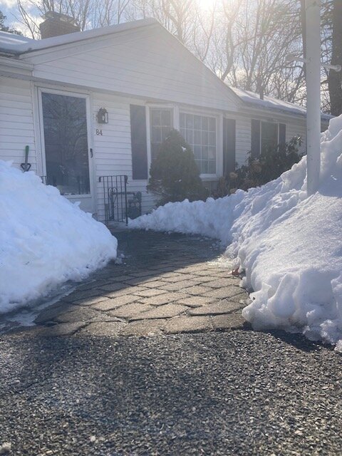
About 30-31”.
-
All bass, no treble. Not sure I’ve seen snow look like this when I haven’t cracked 6” in an event this season
-
Solidly below normal for snowfall so far. But retention has been good. Been continuous snow cover save for 2 days since 1/11 plus had a decent stretch in December with cover (including Xmas)….snowfall is a D for a grade so far but retention and temps bring the overall grade up some.
-
Yeah this thing really never got inside D5. I mentioned that to Ray yesterday on how the discourse was pretty insane for 156 hour model solutions. I get that there was cross-model agreement but it’s still like D7, lol. It could have come back after slipping over the weekend but the time for that was probably yesterday.
-
Legit obs here KORH 171354Z 29040G59KT 10SM OVC027 M07/M12 A2939 RMK AO2 PK WND 28059/1353 SNE40 SLP964 P0000 T10671122 $
-
This type of airmass is hard to dislodge in February especially. You’ve had decent cryospheric build-up all winter and now you are gonna try to run this low into Canada…not gonna happen that easily. The little messenger tickles in the secondary reflection weren’t too surprising.
-
You did sneak to 33F right? You were getting plain rain for a while. But you didn’t lose any pack like I predicted.
-
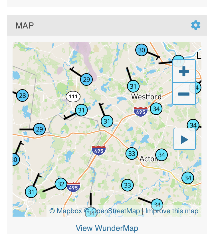
Rockport MA 27F with northeast wind. Man front.
-
Temp dropping quickly now. Down to 30F.
-
You can tell he was just waiting for one of those winters where nothing melts there with tons of upslope while we’re for long stretches…and then when it does precipitate for us, it’s ptype issues everywhere.
-
CF looks like it’s accelerating down 495 now and about to cross SE of it near Boxborough/Berlin
-
Def worth watching down there.
-
Def near 495 right now

-
Don’t see it. A few flakes maybe for N ORH County down to NW CT…upslope spots in Berkshires could pick up a bit of accumulation. But really nothing east of those areas. I guess a few flurries later this evening could happen.