ORH_wxman
-
Posts
93,099 -
Joined
-
Last visited
Content Type
Profiles
Blogs
Forums
American Weather
Media Demo
Store
Gallery
Everything posted by ORH_wxman
-
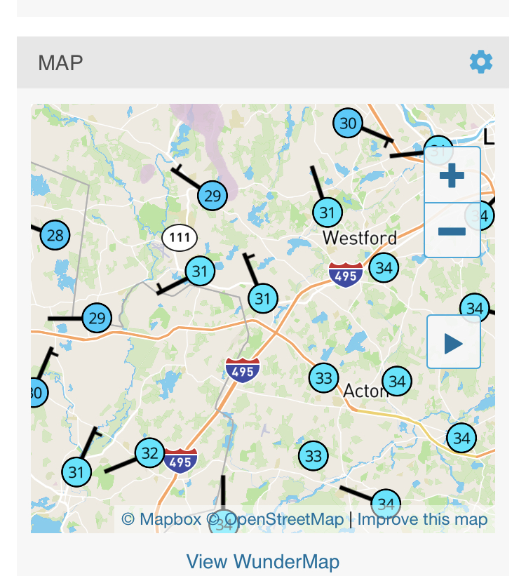
CF looks like it’s accelerating down 495 now and about to cross SE of it near Boxborough/Berlin
-
Def worth watching down there.
-
Def near 495 right now

-
Don’t see it. A few flakes maybe for N ORH County down to NW CT…upslope spots in Berkshires could pick up a bit of accumulation. But really nothing east of those areas. I guess a few flurries later this evening could happen.
-
2010 was pretty bad for that. We had two busts in Mar 2018 as well but that pattern was so good we scored 2 monsters anyway.
-
Midlevels and aloft look kind of interesting for SE areas anyway. If we can tighten up the low level baroclinic zone a little, might have something.
-
Looks like it’s dropped all the way through pepperell and about to go through Groton in MA.
-
18z NAM still trying to look threatening in clown range. Don’t think the 20-burger runs are returning but a decent hit for SE zones is well within play imho.
-
At least it looks like the heaviest stuff is just about over there.
-
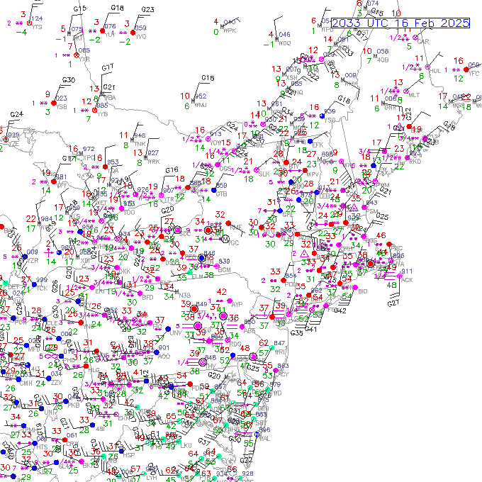
Warm front over LI sound right now.
-
34 and rain. Worst kind of weather to be outside in. At least it’s not really melting anything except maybe some of the ice on the driveway…a little bit anyway.
-
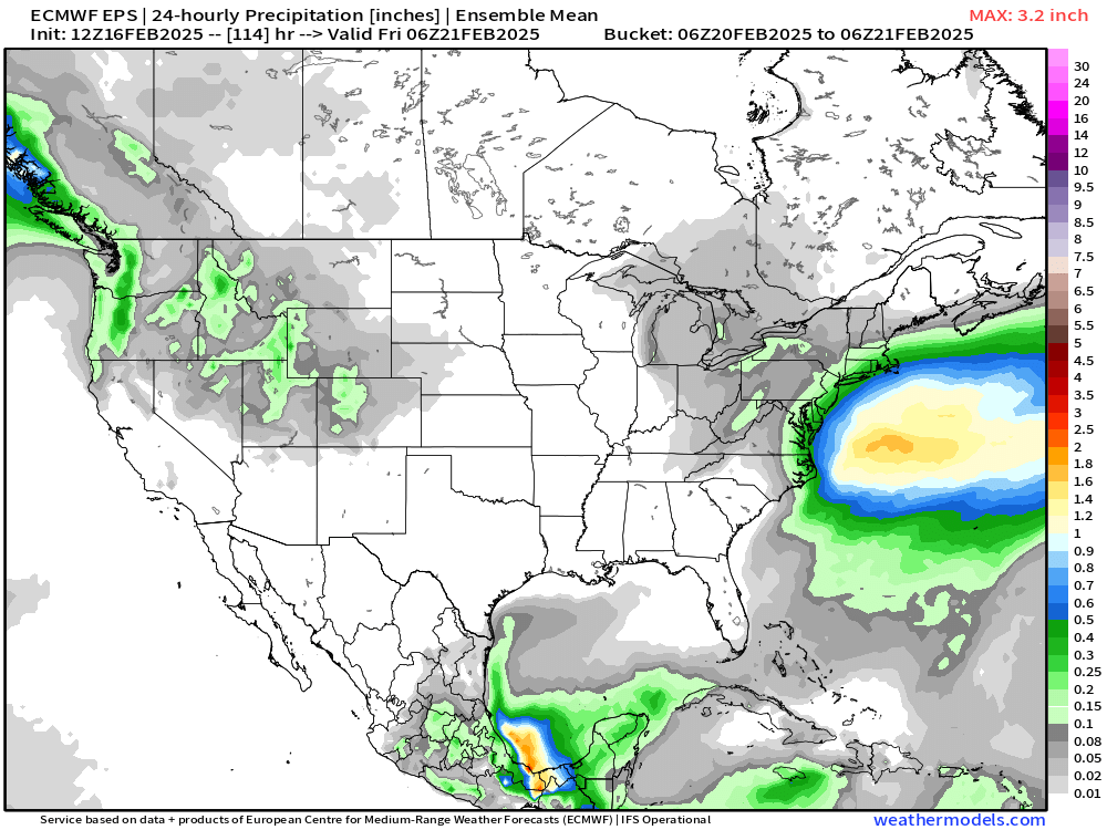
Mean is getting some realistic QPF into SE zones despite good agreement on the southeast position of the lows…prob some decent upper air support like a pseudo-IVT
-
Despite the drizzle and rain at 33F-34F went outside and the snow still has a very sleety/icy crust on it. Not really that mushy on top yet. This stuff is gonna be ridiculous after the refreeze tonight.
-
I think we got a handheld at 65-67ish on the beach at CHH in Noel and that is obviously only 6 feet off ground and not 10m. There were def some hurricane gusts in spots during that. Irene was pretty good on the Cape too. Earl was kind of a bust.
-
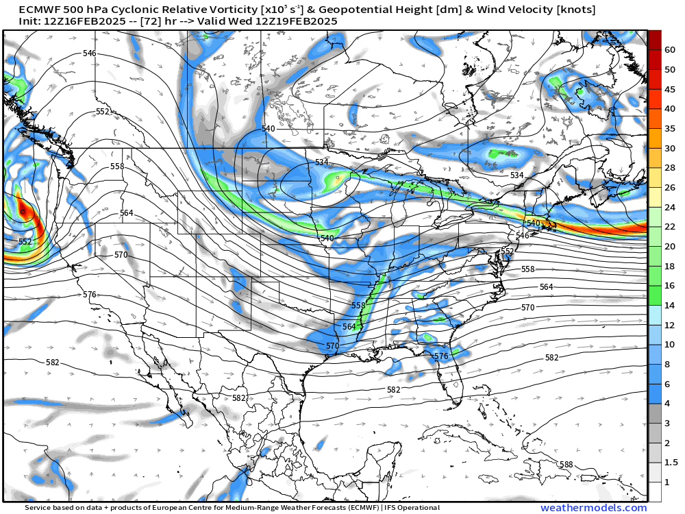
You have some random vorts rotating down east of the block over Hudson Bay. We need that to ease just a touch to allow the huge ULL to amplify the downstream ridging a bit more.
-
Remember all the damage when we drove back to my grandparents house in Yarmouth? It was damage everywhere. Really impressive storm that was. One of the few that lived up to the hype.
-
Wasn’t Noel. Noel was actually an epic chase. That was almost legit Hurricane conditions at CHH. We found that shit tavern that was open to get inside for cover. You literally couldn’t look into the wind because it was sandblasting everyone…that was despite downpours…wind was so strong it didn’t matter. It couldn’t mat the sound down enough and we’d just get blasted.
-
I did meet you in person briefly. Think it was during Earl on the Cape at Chatham light back in 2010? I’m playing around. You’re just a huge weenie.
-
Euro does look close. If that trainwreck north of Maine eases just a bit, that could still be a decent hit at least for SE areas.
-
Yeah lot of heavy rain over SE MA. We’re mostly missing it so far thank god. Had a quick band come through about 20 min ago. Not gonna escape that slug in NJ though.
-
HRRR actually keeps you in the mid 30s now all the way through.
-
It’s because east of ORH is east of the CF…you never got SE of CF and instead just latently heated your way to 32F from the ZR.
-
Yeah the cold rain is nasty. 33 and rain here off and on. Gonna be an epic glacier later tonight.
-
We tried to tell him but he doesn’t listen. He’s like DIT but not as funny.
-
33 and drizzle here. We did have a few pingers still mixing in about 30 min ago which was kind of surprising.