ORH_wxman
-
Posts
93,110 -
Joined
-
Last visited
Content Type
Profiles
Blogs
Forums
American Weather
Media Demo
Store
Gallery
Everything posted by ORH_wxman
-
That actually might have been us in February 2015...we didn't know how to stop the bender.
-
That was us during 6/1/11...for a fleeting moment we fooled everyone including the umps.
-
How we do weather in New England: Winter wx events = patriots backdoor coldfronts = '27 Yankees tropical threats = Bruins High end severe threats = Bobby Valentine Red Sox
-
We all realized a couple days ago it is better to toss weenies and buns around in this thread than to try and steer Jose into our backyards in the tropical thread. I always sort of feel like I'm pretending a 7-9 team is playoff bound when I do that only to realize I was deluding myself the whole time. That 30 point win over the Browns just wasn't what it seemed.
-
Or Jan 2011 for a while...every 4-5 days it seemed. 1/7-8, 1/12, 1/17-18, 1/21, 1/26-27, etc. Jan 2009 had stretches too...and on a shorter scale, that glorious 8 day period in Dec 2007. Those are so much fun...it's like a continuous bender on winter wx for 3 weeks.
-
Yeah 3/9/01 had a good late blooming storm. Gave 6-10" for a chunk of SNE (mostly northern half) and then prob some 12 lollis in NNE.
-
And it was pretty big not that far off the coast too...obviously areas like ORH got pounded, but even like 128-495 really did well that month (and winter overall). Storms like 2/5/01 and 12/30/00 had 128-ish rain/snow lines....the 2/5 snow line did collapse back SE later in the storm and pasted the coast at the end, but it was obviously a bit frustrating being so close to a much bigger event. Then the big March 4-6, 2001 storm was like 18"+ once you got 128/pike N&W. But there was a SE MA special or two mixed in...I think 1/21/01 was a good one and so was 2/23/01...esp for Cape area.
-
2000-2001 was one of the more amazing snow seasons up there not just for the big totals but the longevity of the season...at least in terms of snow cover on the ground. There was a pretty sizable event around the Eustis area and prob up to Long Falls damn around 10/9/00...then they had ANOTHER event even larger around 10/29-30...we actually had snow in that in interior SNE, but only about a half inch (they had more up in Cheshire county NH...a few inches). But it was a huge October in Maine which consisted of two events spaced out apart by 3 weeks...pretty rare for two events that size in October..esp so spaced out. Then of course the late season snowfall was so prolific, that it lasted basically into May....even though April itself wasn't very snowy, the end of March was obscene so that along with the relative cold first half of April really set the stage for the snowpack lasting so long. That winter was also notable for the consistency...lack of thaws. There was a huge cutter on Dec 17-18 that torched everyone right into Canada, but after that, the mild spells were very few and far between...and generally lacked much punch. I think for anyone from about BOS surburbs WSW through interior N CT and then everyone north of that line would take this year's La Nina winter being a repeat of 2000-2001. It was def a bit more frustrating right on the coast in SNE, but even there it had its moments. It was still above average for almost everyone....save maybe for SE coast of CT/RI...they had a lot of screwjobs that winter.
-
PIOMAS updated mid-month...the minimum occurred on Sept 11th with a volume of 4,542 cubic km. This was 4th lowest...slightly below 2010 which was 4,582 cubic km. 2012, 2011, and 2016 finished lower.
-
Yeah I'm skeptical we'd get there again...maybe if we got 3 flukish slow melt years and maybe one or two colder winters mixed in we'd see some much higher min...but even then I'm not sure. We had a lot of mulityear ice back then. We'd really need to replenish it over 4-6 years and that isn't easy in the current state. We started to do it after 2012 but we saw most of it get destroyed during the epic July 2015 pattern. Realistically, I think we would need another Pinatubo eruption to get back around 6 million sq km. We'd prob drop Arctic temps by about 1-2C for a couple years which might be enough for big temporary rebound.
-
The extent/area has def stabilized since 2007...basically flat trends. Volume is still def trending down since 2007 (though flat or even slightly up since 2010). What we need to rebuild volume more is a colder winter mixed in between two slower melt years...we've had really warm winters recently. 2012-2013 was the last winter that was def colder...more toward climo. It probably helped with the 2013 rebound after the epic 2012...that, and the cold summer of course...that's why we got a min above 5 million sq km right after the record low.
-
Yeah that was a great storm actually. It produced a decent number of power outages in E MA. 10-12" of pure cement.
-
Yeah mid-winter retention was disappointing...we had snow cover most of the time, but it kept getting thinned pretty bad before the next one....until Feb vacation week of course when it decided to turn into June for a week. The good retention pattern didn't occur until March...and by then, you're fighting the sliding climo. But that Mar 9-Mar 20th period def had a pretty deep winter feel...and the Mar 20-Apr 3rd period was more like waning winter feel...snow took a while to go...got that replenisher on April 1st.
-
That storm was pretty solid in Natick...about 8 inches. Around 6 inches in ORH. It just sucked that it vaporized like 3-4 days later. We got a hideous cutter on the 11th-12th.
-
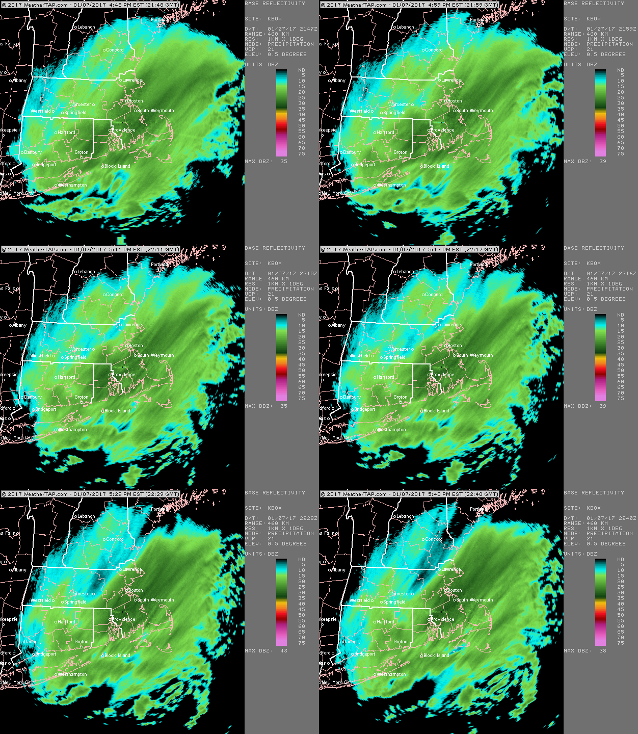
Nice fat band while Ray and central area were choking on exhaust:
-
Same with Feb 16th too....and even part two in the Feb 12-13 storm. It ended up like 200 miles east of the Euro's 72 hour forecast....there was a chance we'd have an all-out blizzard that morning of Monday Feb 13th. Instead we got just a bit of backlash snows in E MA that didn't amount to much except for maybe 3-5" on Cape Ann and also parts of Cape Cod.
-
The quick hitter (Feb 9th) storm kind of blew up on the models too around 48 hours out...it was poorly predicted in the medium range. We've had storms like that now for 3 winters in a row (Feb 5th, 2016 the winter before blew up inside of 48h and of course the Jan 2015 blizzard). March 14th kept trending NW every single run inside of 48 hours....but despite that, it was still a great storm even if we didn't jackpot. Prob a little more disappointing right near BOS where they underperformed relative to some of the western suburbs. That bulletproof pack though took forever to melt...well into April.
-
I posted some links further up: https://www.americanwx.com/bb/topic/48618-arctic-sea-ice-extent-area-and-volume/?do=findComment&comment=4619754 You can also check the arctic sea ice forum...there's a thread that lists the area and extent: https://forum.arctic-sea-ice.net/index.php?board=3.0 You might have been looking at the NSIDC interactive graph which actually plots a 2 day mean I think and not single daily values. The daily value is actually up to 4.65, but the daily min a few days ago was 4.61.
-
Ha...that one was so bad. I think I had about 4 inches of rain at 34F after a quick coating of snow. That airmass rotted horribly after the big block formed. We recycled that airmass I think for about 5-6 weeks straight.
-
Looks like area bottomed out at 2.94...so it managed to squeak below the 9/1 minimum of 2.99....the 2.94 ranks behind 2016, 2012, 2007, and 2011. So 5th lowest. We have since rebounded back up to 3.15 so we almost certainly reached the min...very tough to go back down over 200k from here. NSIDC extent will finish 8th lowest if it cannot decline another 60k...so far the minimum is 4.61 which is a measly 20k above the 2010 minimum. We could still decline though in extent on NSIDC enough to catch 2010...but it will need to happen within the next few days. Jaxa is still hovering not too far above the 9/9 minimum too...so it's possible we still go below that 4.47 number as well. PIOMAS hasn't updated their volume yet, but they usually do so a little after mid-September when they think the minimum has occurred...so we'll probably see an update from them in the next few days I'd think. Sometimes though, we don't get the update until early October...hopefully they decide to do the mid-month update.
-
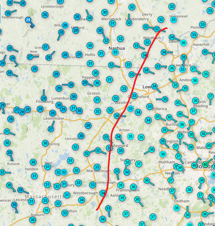
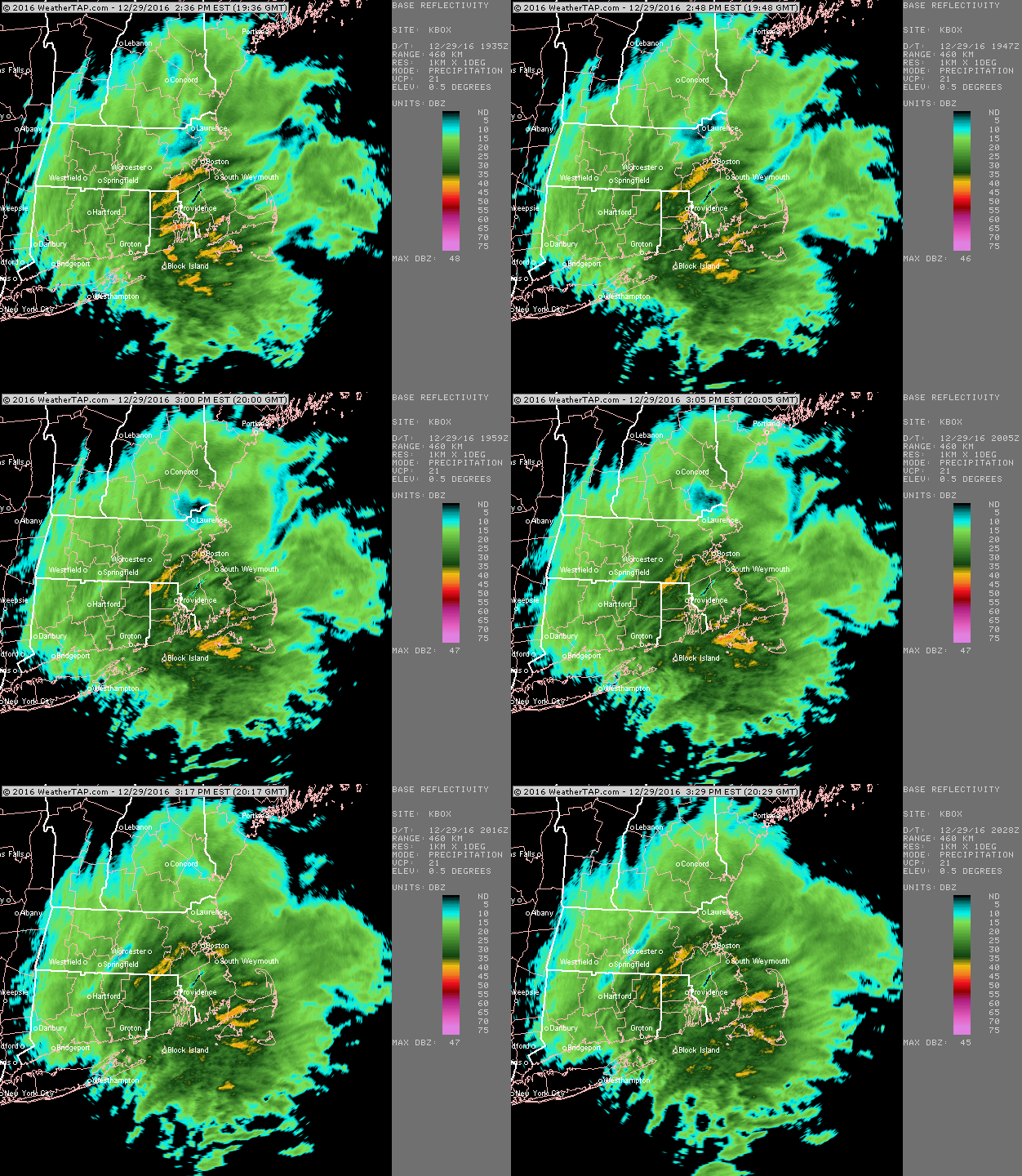
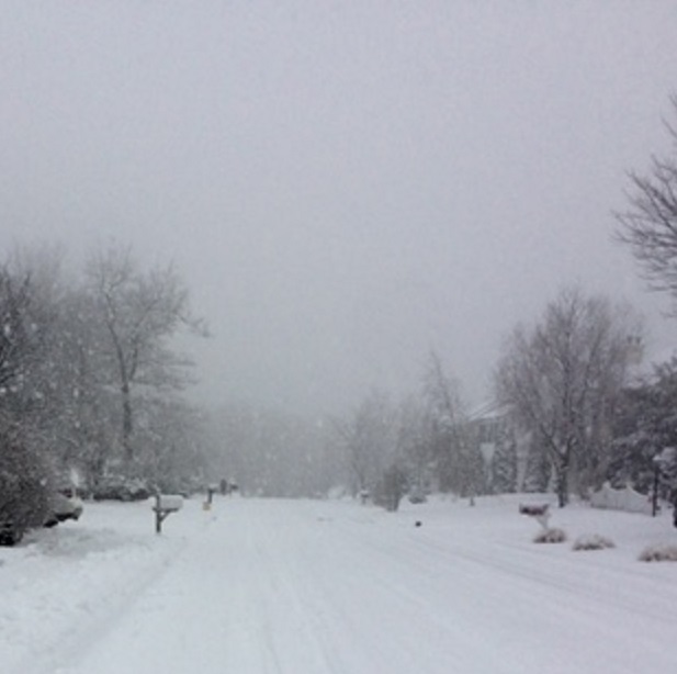
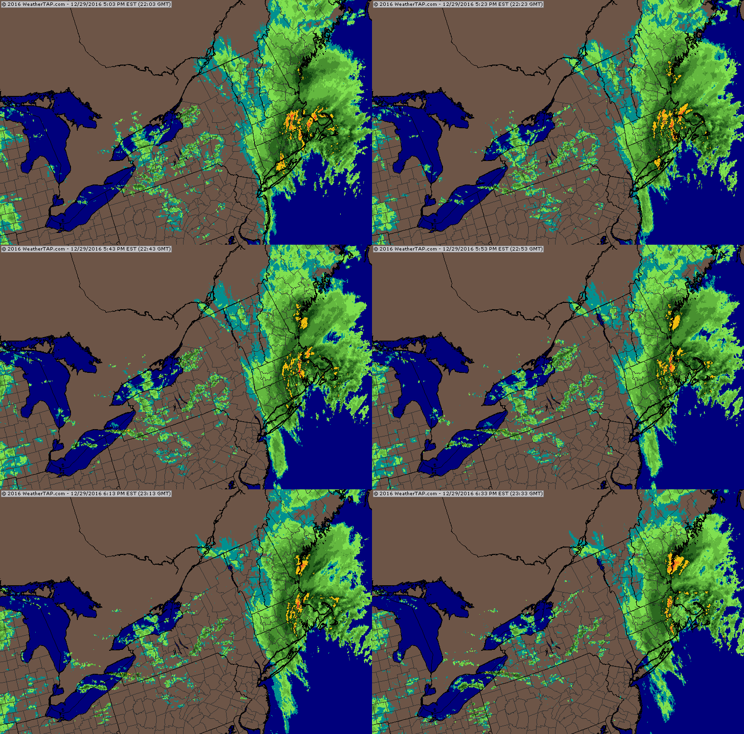
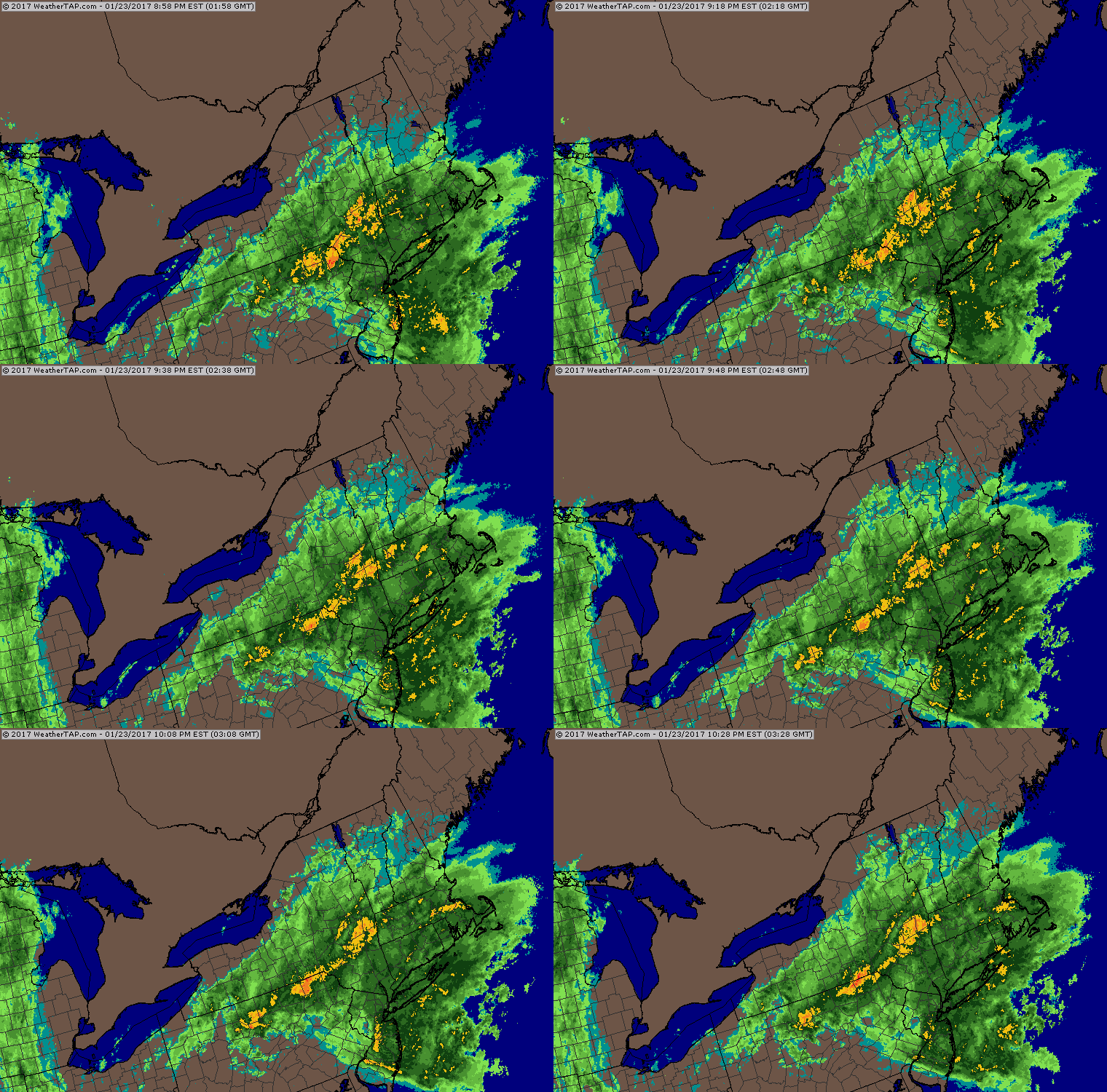
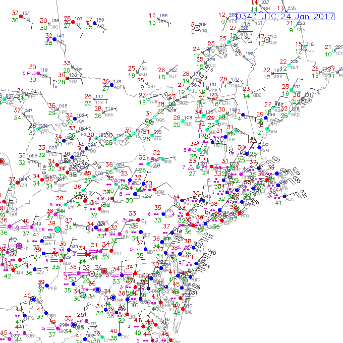
The January 24th storm where we had that weird upslope in ORH county that allowed enough cooling for a lot of slee/tsnow mix while many others got sleet/ZR/RA The December 29th, 2016 paste job:
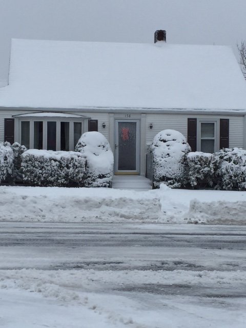
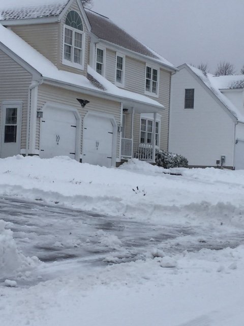
-
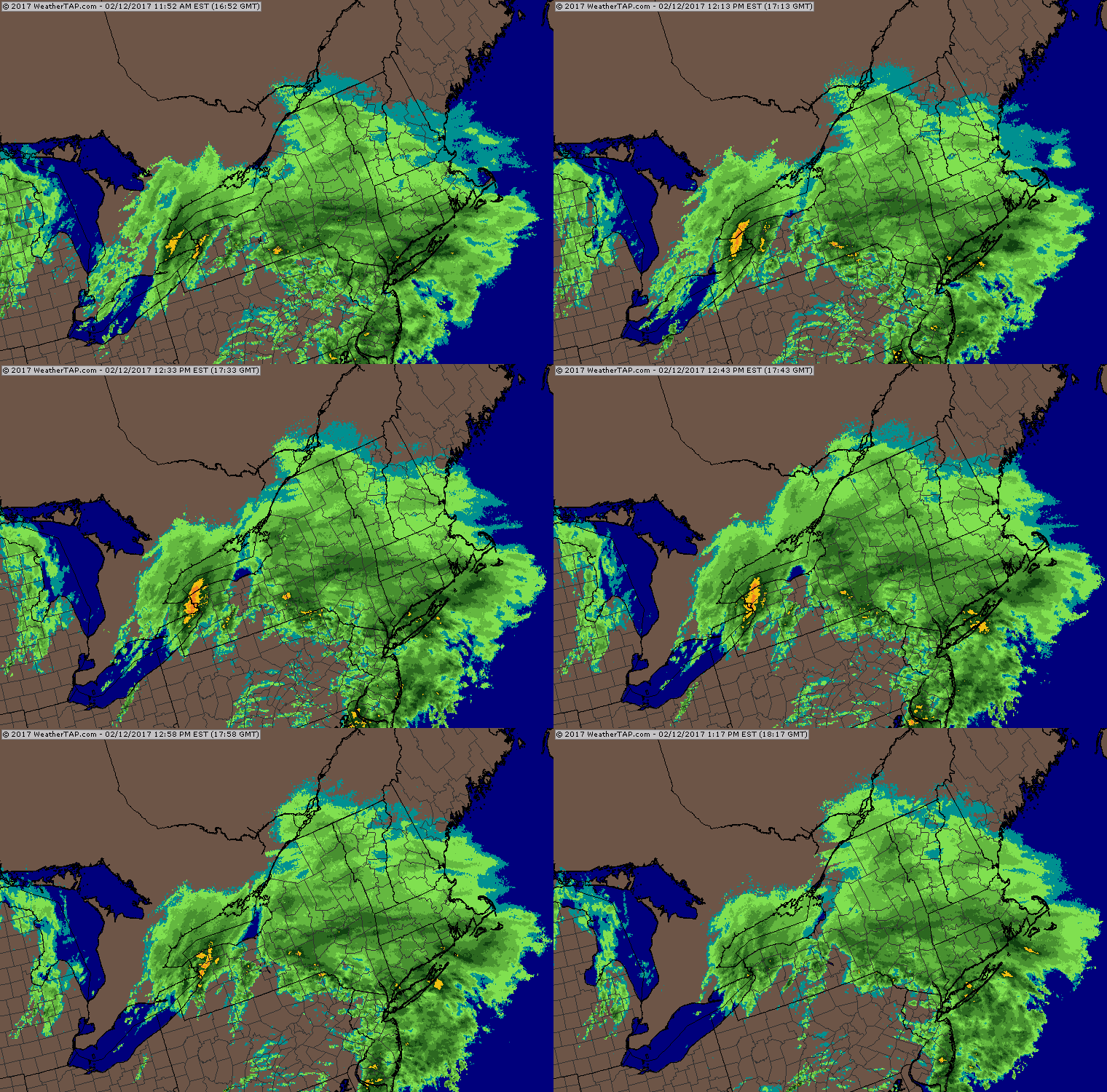
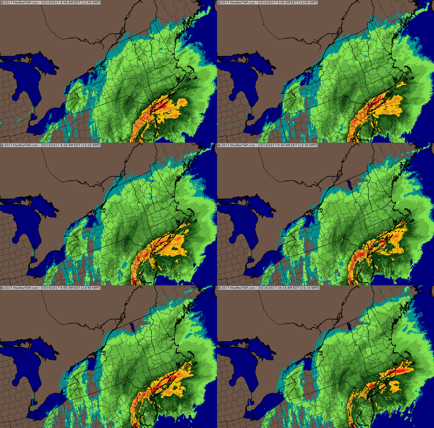
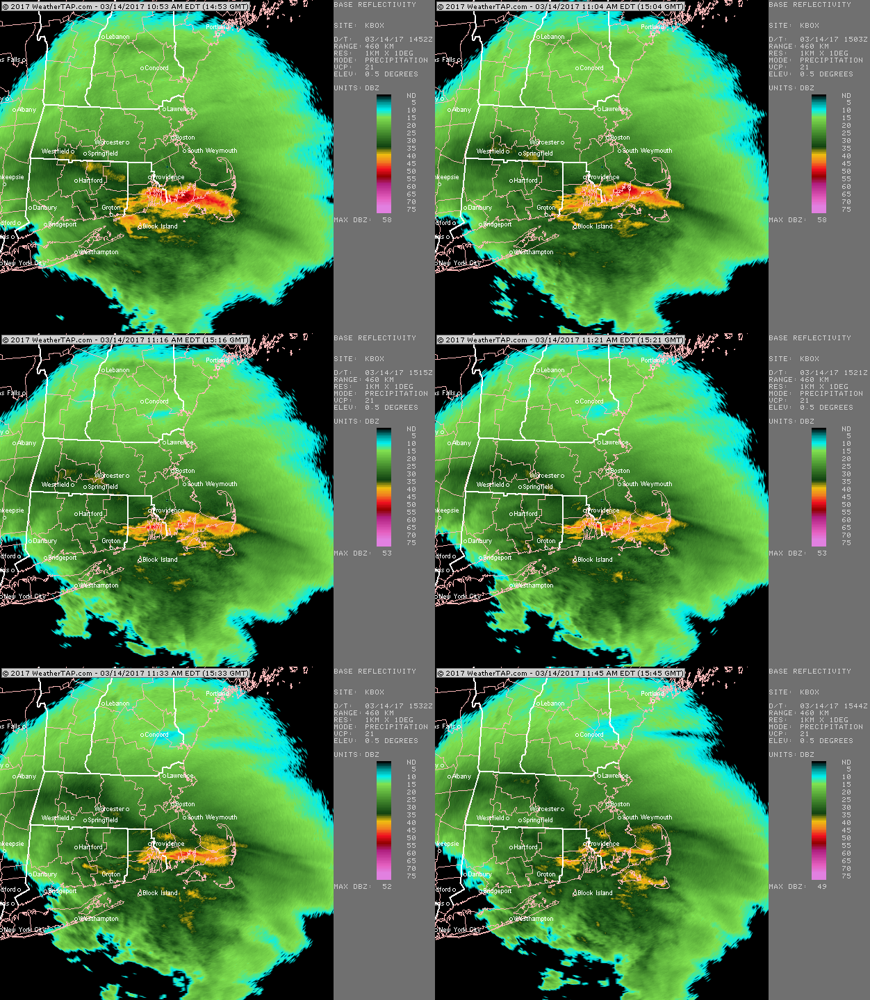
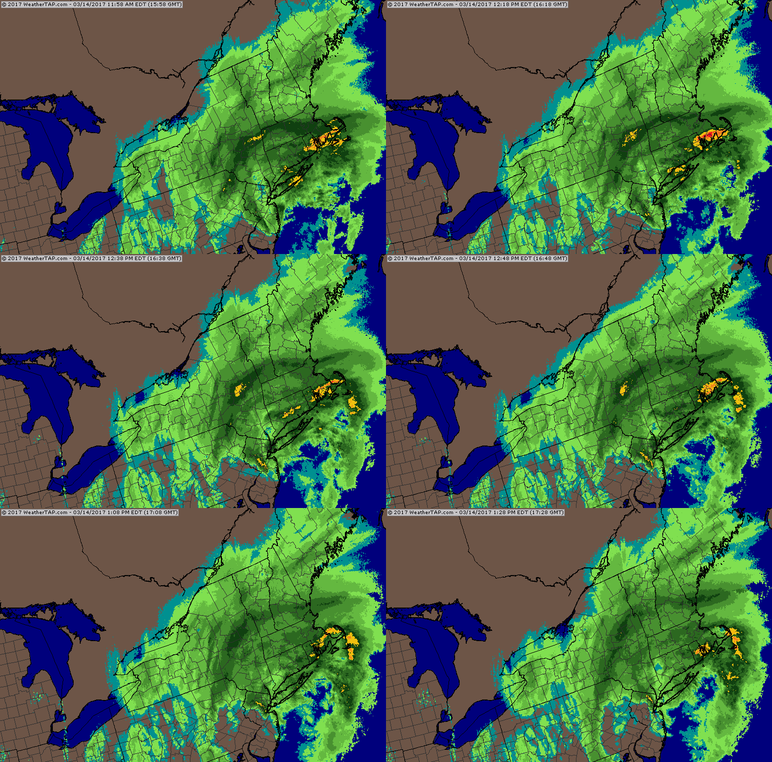
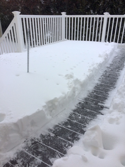
Bumping this thread...while responding to new Vermonter das in the 2016-2017 winter thread, I went into my attachments to find an old snowfall map...I came across a bunch of images from last winter. All in all, last winter really was pretty decent for most. Def a bit more frustrating right on the coast, but even there it was still above average for snowfall. Some of my favorite images I saw were: The approach of the huge March 14th nor' easter. We had over 14 inches in ORH...this storm happened too right around when we closed on our new house. We had around 11-12 inches in Holliston judging by the landscape the next day driving there. This one hit all of New England hard save maybe parts of the south coast which flipped pretty early and some extreme exposed spots on the eastern MA shore...Logan underperformed a bit. We actually managed to avoid flipping to sleet in ORH despite most models thinking we would...the snow did get a bit rimed though late in the storm when we finally dryslotted: Here's the big thump on Sunday Feb 12th that gave us about 9 inches...that had followed the really nice snowstorm on February 9th...we achieved max depth after the 12th storm: Awesome banding in the February 9th storm:
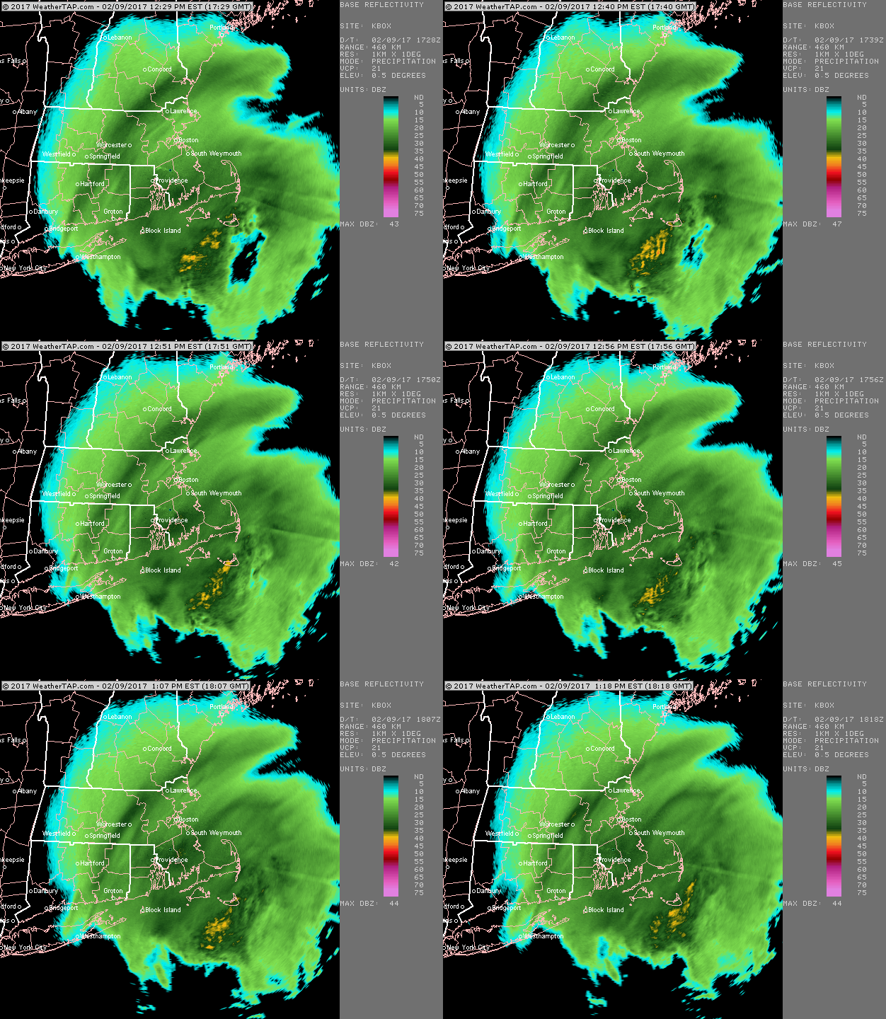
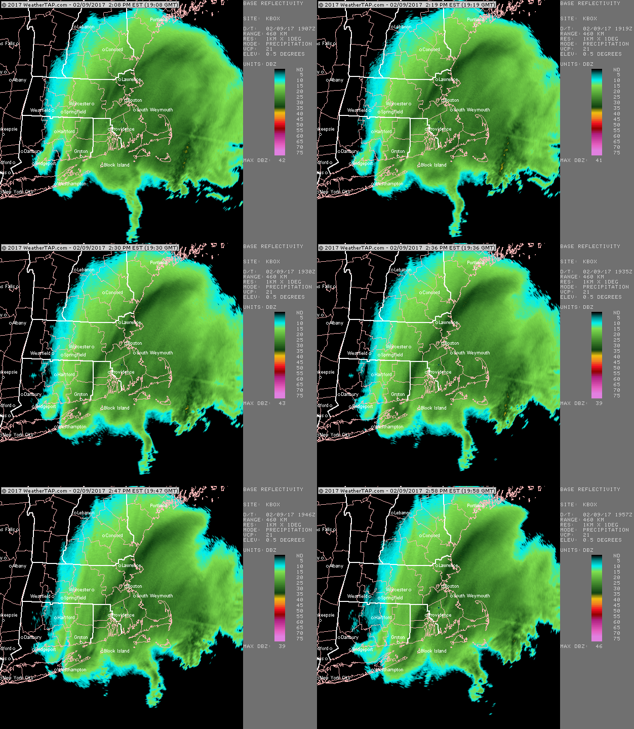
-
Sea ice extent on Jaxa is currently 4.48 million sq km. That ranks 6th lowest...you can find the data here and click on "extent graph" at the top: https://ads.nipr.ac.jp/vishop/#/monitor NSIDC area is currently at 4.63 million sq km. That currently ranks 7th lowest. You can find the data here (need excel) ftp://sidads.colorado.edu/DATASETS/NOAA/G02135/seaice_analysis/ or you can use their interactive graph: https://nsidc.org/arcticseaicenews/charctic-interactive-sea-ice-graph/
-
We may be on "minimum area watch" right now...On September 1st, the NSIDC (what CT SIA used when they were functioning) dropped to 2.99 million sq km. It then rebounded significantly before declining again, though the declines have been weak and we remain 130k above the minimum at 3.12 million sq km. If September 1st was indeed the minimum area, it would be the earliest area min since 2005 when the minimum occurred on August 31st. August 31st is also tied for the earliest area minimum with 1987. If 2.99 million sq km ends up being the minimum area, this would be 5th lowest. Only 2012, 2016, 2011, and 2007 were lower...it is nearly tied with 2008 which finished at an even 3.00 million sq km. It is still possible that area makes one more push and we achieve a new low...if it drops below 2.90 million sq km, then it could surpass 2007 and 2011. But time is rapidly running out and the weather does not look conductive to a big 2nd week September area decrease. Any push would have to come from the Atlantic side most likely (and very soon in the next couple days) since there's still some southerly wind there from a Kara low...but the Pacific side may see ice growth over the next week as a very cold low moves over the CAA and adjacent CAB. In a reversal of position from mid-August, extent is currently only 6th lowest or 7th lowest depending on the source you use (jaxa vs NSIDC). Recall that extent had been running more like 3rd lowest a few weeks ago....but the higher area ranking back then suggested that the extent was unlikely to compact like last year and 2015 did late in the season, so we fell behind the pace of those years. Extent is currently at its season minimum...it is not clear when the min will occur...it might be in about 2-3 days if that cold low materializes in the CAA/CAB which will help promote ice growth in the Beaufort/adjacent areas on very cold north and east winds.
-
PIOMAS updated for the end of August... Looks like we've inched above 2016 for 4th lowest now...2011 was also lower and 2012 has gone well into the depths. Close race with 2010 too for the min volume, though I think we'll finish a little lower than 2010 but stay higher than 2016.