

ORH_wxman
-
Posts
93,092 -
Joined
-
Last visited
Content Type
Profiles
Blogs
Forums
American Weather
Media Demo
Store
Gallery
Everything posted by ORH_wxman
-
I think NOAA hired the ecmwf.int graphics guys to design their radar.
-
18z gfs actually had a little bit of CAD in front of the cutter as it kind of built the high northward toward Nova Scotia out ahead of the cutter. That wouldn’t be an all out disaster. Still hoping for much better though.
-
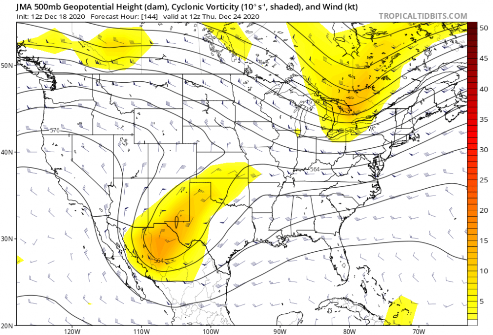
We can always root for the JMA
-
Colder dewpoints in the northern Bahamas than here.
-
I hate it on Xmas day....I'll deal with a quick FROPA on Xmas eve....but give me the refrozen glacier for Xmas day. EPS must still have a lot of faster members as the front is through by 12z in the mean...hopefully that means subsequent runs come in weaker/faster.
-
That one at least had a high retreating in Nova Scotia rather than one sitting over Bermuda.
-
Yeah I think it was 12/17/00....it produced major wind damage.
-
Yep...as a small one. Good Euro run today....temps near 60F and POURING rain on Xmas morning.
-
There's always a chance some sort of sfc CAD sets up, but we'll need some sort of confluence to develop for that...even if kind of weak. Right now, there is nothing...it literally wants to rip the low into Hudson Bay....that's about the worst possible setup. : But we'll see if things change on guidance over the next 36 hours....I think the 3 best ways to avoid a disaster cutter are 1. Make the system more progressive and whiff on a phase which turns it into kind of a quick dryish FROPA on Xmas eve...still mild but not 12 hours of tropical dewpoitns and heavy rains. It would be through quite quickly. 2. Have the 12/21-22 system deepen and phase more with the arctic jet/PV lobe and that would create more of a pseudo block and probably promote more confluence in Quebec....which in turn, would produce CAD even if the system tried to cut west....you'd drastically reduce the warmth. 3. Bury the energy coming onshore in the southwest so that the whole thing turns completely flat....you'd end up with an overrunning situation or nothing at all
-
LOL...can you say "wave break event"?
-
There could be a bit of weenie snow Sunday evening/night with that leading shortwave swinging through. I doubt any real accumulation but a coating wouldn’t be shocking.
-
I wonder if the PNS is wrong....they might have erroneously thought the report was 12.7" just for 12/17 so they added the 0.4 from 12/16 when the report submitted was a storm total.
-
What's up with Logan airport's snowfall total in CLI not matching the PNS? ...Suffolk County... Charlestown 13.4 426 PM 12/17 General Public Chelsea 13.3 258 PM 12/17 Trained Spotter Dorchester 13.2 240 PM 12/17 Ham Radio Logan AP 13.1 700 PM 12/17 Logan Airport CLI has 0.4" on 12/16 and 12.3" on 12/17 for a total of 12.7"
-
Yeah if that is the case, then I'd start being suspicious of deliberately bad totals from him....which is really not cool. Nothing worse than someone deliberately passing off unreliable data.
-
You forgot 2002. But yeah, snow on actual Xmas is pretty rare. Though 2012 technically pulled it off too but it wasn't a "storm". We had about an inch Xmas morning....it was actually a very pretty currier and ives type snow too. For me personally, I can handle a cutter if there is still cover on Xmas morning....but I really don't want the cutter to be happening on Xmas day itself...that is just....gross.
-
He could be totally innocuous in his measuring but just have a bad siting where the snow board location is prone to drifting or blowoff from roof or something like that which causes consistently higher measurements.
-
There's plenty of time to flatten out the Xmas eve/Xmas system. Even if it just turns into kind of a dry FROPA where a low goes NW of us but it is not a phased stemwinder....in that case, you'd just get a fairly mild Xmas eve but no 55-60F downpours and then FROPA happens that night.
-
Yep the LR continues to look good. EPS are hitting 12/28 and 12/31 as potential dates to watch. We just gotta find a way to minimize the grinch storm. Luckily with this type of pattern, 6 days is a lot of time to change things.
-
The grinch storm definitely took a turn for the worse last night. Hopefully it goes back the other direction today on guidance. Need to drop that energy into the southwest US so the whole thing goes positive tilt and that would help a lot. Either that or we need to really deepen the 12/22 system offshore and slow it down.
-
I’m sure when this goes through some reanalysis and scrutiny, we’re going to find insane ML fronto numbers along with super deep DGZ column. We had a beast arctic high up there and this was slamming up right into it with extreme negative tilt aloft. So my guess is the models prob undersold the ML fronto...even though it was already really impressive on guidance. The super deep DGZ always helps too because you aren’t needing to be very precise with where the lift is to get the cross-hair sig.
-
18z euro looks like it would produce
-
Yes I would think so.
-
Yeah this was a really weird storm. It was extremely well predicted in the medium range like a week-plus out but then it was kind of a short term disaster with model guidance inside of 24-48h.
-
I’ve become addicted to our Ariens snowblower. It just destroys huge snowbanks and drifts...or in your case, 30-something inches of snow on the level.
-
I’m looking around at totals and this was a massive snowstorm even if you totally eliminated that obscene fronto band. Like BOS to ORH to HFD/BDL down to NYC and back across a chunk of PA got double digits. But all those 13” and 16” totals all of the sudden look paltry when there’s 33” and 38” and 44” on the same map.


