

ORH_wxman
-
Posts
93,095 -
Joined
-
Last visited
Content Type
Profiles
Blogs
Forums
American Weather
Media Demo
Store
Gallery
Everything posted by ORH_wxman
-
I don't see how you can't toss it. It's not even close to other guidance. I'm not sure what it's doing when it gets closer to the lakes....but it was significantly less amped in the first 18 hours or so of that run and then it just goes crazy with the neg tilt and sets off a nuke near Detroit.
-
NAM is just getting really amp-happy around that 30-36 hour mark....it really goes nuts with the primary low just east of Detroit. So this is going to be another torched run.
-
It is, but it's still significantly more amped than other guidance. But the 12z was so zonked that we can see a solid trend this run and the NAM would still be the northern outlier.
-
NAM is already quite a bit less amped at 18 hours than 12z.
-
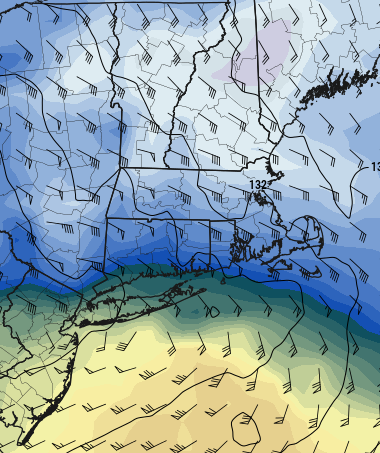
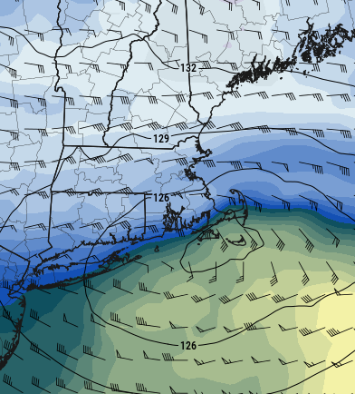
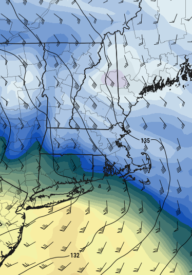
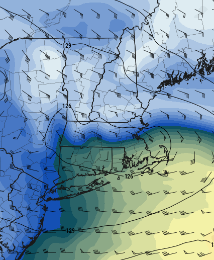
Yeah we want to turn that flow from out of the SE/SSE to more easterly as quick as possible....that gets the CCB cranking...you are essentially wrapping the WCB precip up and around the north side of the storm which what becomes the CCB in the classical diagrams. If the flow never really turns east until later, then we get the WCB rip through (our front end thump) and then a dryslot while the CCB goods hit further north or offshore if it takes too long even for NNE. The one aspect that helps in this storm is that it hits a brick wall and starts going due east...so that "Allows" the CCB to form fairly late and still possibly get us because the storm stops gaining latitude near us. But yeah, the faster the turning of the mid-level winds out of the east, the better. See a quick example below....look at how the GFS is starting to turn things pretty hard out of the east by 09z Saturday morning.... Now 6 hours later at 15z, it's full-on CCB look...and we get away with that relatively late development because it's going nearly due east Now look at the NAM at the same exact times and look at how much worse it is for SNE
-
EPS continues to tickle colder...it's decaying the primary a bit quicker than the 6z run.
-
I'd prob go 6 or 7 to 1 right on the coast, unless this rips, then it will be closer to 10 to 1.
-
Yeah should be similar....it's gonna be a little warmer than that, but still cold enough I think over interior to remain mostly fluffy during the thump phase. My area may be far enough east that it starts getting a little pastier, but my guess is the true paste will be closer to 128/I-95 and eastward. This is assuming no major changes again of course....which could still happen.
-
Think it will probably be *mostly" fluffy over the interior outside of 495 (temps look like 28-30F with a fairly cold 900-950 layer)....it may be pasty though inside of there and esp once within 10 mile of the coast.
-
Most of them seem fine except the Ukie had some sort of error that basically took out any snow that fell between 42-48h (aka, the thump).
-
It was actually more paltry with the CCB for a lot of us. That's an idiosyncratic feature that seems to show up better on certain runs than others (except on GFS which just crushes every run, lol)...which is why I'm not counting on it...I'll treat it as gravy if it can happen. But that initial thump I think is where we'll want to focus in the near-term. If the CCB starts looking better and better, then we can entertain something higher end.
-
Put that on 24h snow at the 60 hour mark to isolate just this storm alone...but those kuchera maps giving warning snows for much of MA are a good indicator that the thump is looking much better. It's less marginal.
-
Biggest improvement this run was the thump. It's starting to actually look decent. The CCB idea is fun, but I'm not counting on much from that....Im assuming it will mostly hit like SE NH and then slide offshore....but the thump can give us close to warning snows alone.
-
The nice thing now, is even if we get a 50/50 compromise from here on out between Euro/GFS, that's gonna be a huge hit for like BOS to ORH and maybe even down to far N CT/N RI.
-
He may have been on one of those benders until 5am…not sure he sobered up today.
-
Clown map on pivotal had something weird happen between 42-48....it has nobody getting over an inch or snow (including CNE/NNE)....so just go old school and analyze the QPF/midlevels.
-
Yeah but the Euro typically doesn't make moves that are more than 5 mile farts. Ukie looked pretty good. Has a really nice thump front end. (just don't look at clown maps on pivotal....snow algorithm went all wonky between 42-48h during the big thump)
-
Sure...anytime you get big lift along with rapid saturation in a warmer unsaturated layer, it's going to cool. Question is how much can that offset the ongoing WAA. I like to see big omega (> 25 microbars)....typically at least kissing the DGZ.
-
539" at 8k Alpine Meadows in Tahoe. 92" in the last 3 days there.
-
I'm still worried about a thin warm nose around 700-750mb on the front end thump. I'd feel a little better if that layer cooled a little more on guidance. It's quite high in the column, but I've seen it many times turn a 6-8" snow into 3" with tons of pellets.
-
GGEM came south a bit too from 00z. Really crushes north of pike into S half of NH/VT.
-
Yes. Still not buying the GFS fully, but it's gaining support little by little. I'm in a spot that doesn't really have a lot of wiggle room, so not expecting a big storm here right now...prob a lot of kitchen sink crap that might accumulate to several inches, but if we are going to entertain an actual thump on the front end like even the RGEM shows, then it changes everything.
-
Congrats on 12-18
-
Locking it in....turn off the computer now
-
Reggie looked pretty nice at 12z. Good thump...those are the kind of rates you want.


