-
Posts
6,206 -
Joined
-
Last visited
Content Type
Profiles
Blogs
Forums
American Weather
Media Demo
Store
Gallery
Everything posted by Holston_River_Rambler
-

Jan 6th-7th 2022 Second Chance Storm
Holston_River_Rambler replied to John1122's topic in Tennessee Valley
Yeah that’s what is confusing me. The models are showing some steady if not dramatic lift. Sort of an overrunning scenario. I would have thought that that would have been frontogenetic since presumably there’s a front nearby but pivotal maps don’t show much in the way of that. There’s something (we probably several things) subtle going on in different levels of the atmosphere that are lifting the moisture. No one culprit, slow but steady. Honestly I kind of like that approach more than the drama of the last storm. At least for my part of the plateau. -

Jan 6th-7th 2022 Second Chance Storm
Holston_River_Rambler replied to John1122's topic in Tennessee Valley
Anyone want to take a stab at the lifting mechanics of this system? The 500mb vort looks strung out and weak. The jet dynamics look weak to me too. I looked at the frontogenesis maps on Pivotal and they didn't look anything like this last system. Is it that fabled lift source, isentropic upglide? -

Jan 6th-7th 2022 Second Chance Storm
Holston_River_Rambler replied to John1122's topic in Tennessee Valley
It's a Holston River special, lol. Knoxville to Kingsport, at least in TN. -

Jan 6th-7th 2022 Second Chance Storm
Holston_River_Rambler replied to John1122's topic in Tennessee Valley
Euro looking good for MBY this run: -
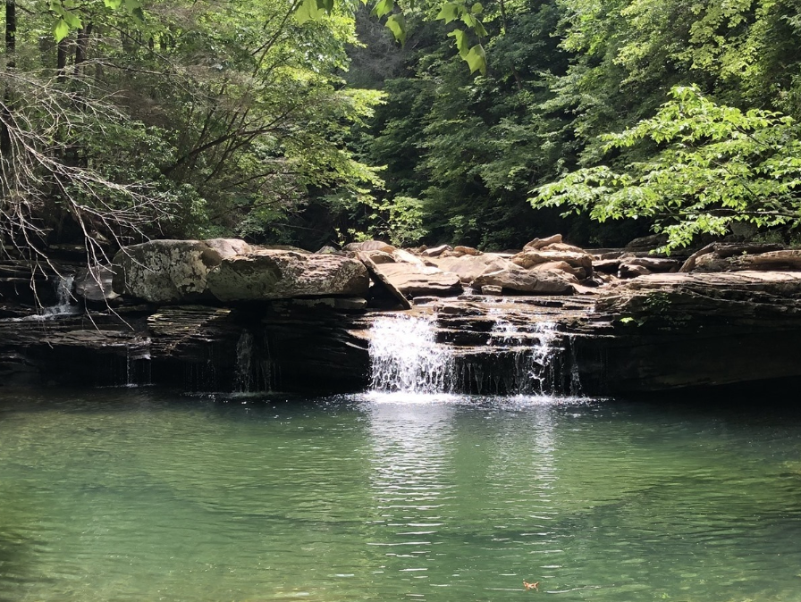
Someone has been cutting lumber on that side of the Mountain. Made a nice overlook for me, lol. I'm not sure if it is on private land or the State forest, but it is right off the trail that climbs the mountain. Only about a 3/4 mile hike up to that clearing. The sun's over Little Brushy mountain in that one pic. I live pretty much at the base of it.
-

Jan 6th-7th 2022 Second Chance Storm
Holston_River_Rambler replied to John1122's topic in Tennessee Valley
6z Euro: -

Jan 6th-7th 2022 Second Chance Storm
Holston_River_Rambler replied to John1122's topic in Tennessee Valley
Here are the 6z GEFS members: -

Winter 2021/2022 January Thread
Holston_River_Rambler replied to AMZ8990's topic in Tennessee Valley
18z Euro for Thursday: -

Winter 2021/2022 January Thread
Holston_River_Rambler replied to AMZ8990's topic in Tennessee Valley
Lord have mercy, 15z SREF is resolving the shortwave as stronger run over run: Here we go again, I guess... -

Winter 2021/2022 January Thread
Holston_River_Rambler replied to AMZ8990's topic in Tennessee Valley
Here are the 12z EPS members: -

Winter 2021/2022 January Thread
Holston_River_Rambler replied to AMZ8990's topic in Tennessee Valley
Whatever was wrong with imgur is fixed now: -

Winter 2021/2022 January Thread
Holston_River_Rambler replied to AMZ8990's topic in Tennessee Valley
Looks like the control was even further south than the OP. Having trouble uploading pics right now though. -

Winter 2021/2022 January Thread
Holston_River_Rambler replied to AMZ8990's topic in Tennessee Valley
Here is the 850mb rel. velocity gifified: I don't know though. I'm just not very enthused by the 500mb energy: Late add: Is the QB from the transfer portal? -

Winter 2021/2022 January Thread
Holston_River_Rambler replied to AMZ8990's topic in Tennessee Valley
Weather weenie rule # 54 -

Winter 2021/2022 January Thread
Holston_River_Rambler replied to AMZ8990's topic in Tennessee Valley
Euro dug the energy for the late week system a bit more at 12z: -
On the drive in from Mossy Grove to Bearden I’d say the big winner was around Pellissippi State. Snow accumulations started to taper off around Coalfield who I’d say got 1/4”. Oliver Springs really got screwed. Nothing even on roof tops or grassy surfaces. There was at least a faint hint of a dusting on the top of the hill between Oliver Springs and Oak Ridge. As Runman said OR itself looked pretty bleak. Snow picked up again on the hill just past Oak Ride on 62 heading toward pellissippi parkway.
-
I think the dynamics of the system will help more in the valley as it starts to really deepen east of the Apps. But on he subject of arctic air, you can see the rain snow line of correlation coefficient moving NW to SE. the green line as it moves from Bowling Green/ Portland and Glasgow, KY to Lafayette, TN.
-
I could be 100% wrong about this, but it looks like as the energy is starting to close off and tilt more neutral, the TROWAL feature is starting to develop in West TN: I think it is that small area of precip. starting to build back barely west of main moisture, just south of Jackson, TN. You can also see the back edge of the lift the shortwave is producing (colder cloud tops/ darker purples over the same area of west TN) turning almost south to north on satellite (and maybe ever so slightly SSE to NNW):


