PowderBeard
-
Posts
2,027 -
Joined
-
Last visited
Content Type
Profiles
Blogs
Forums
American Weather
Media Demo
Store
Gallery
Everything posted by PowderBeard
-
 When mountain biking this afternoon we came across a big freshly fallen maple and some others from the 20mph winds this morning. Not a good omen. At least this fish were eating well this morning and tonight. On Thompson Lake around 8am there was an armada of pontoons, tri-toons, and ski boats heading to the marina to pull out.
 -
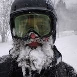
My first memories. Generators, steak on the grill, and seeing pine trees swaying and snapping in my grandparents yard. I was on CC for Bertha in 1996 and that was wild. Beach sand + the wind was painful. SNE is definitely due.
-
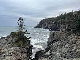
The waves into those big cliffs of West Quoddy will be incredible. As if the carnivorous Pitcher plants are not amazing enough.
-
Eastport is quite sheltered if you check out a map of it. I was surprised when we went, its surrounded by islands so no wave action. There are also two causeways to get out there that could be an issue. Lubec at least has Quoddy Head. Jonesport or Machias area could actually be better.
-
I'm surprised to see no lines for gas and Hannaford is empty. @dryslotduring the noontime news broadcast one of the local mets showed sustained around 40mph from mid morning until early evening for you and I. I bet we see some gusts in the mid 50s.
-
There are still some rooms open on Monhegan.
-
CMP is getting ahead of it by discussing over grown trees on property they can't access on a couple news networks.
-
I'm still betting we don't have power for a bit here given the size of the windfield. Heck, during Irene in RI we barely sustained 35-40 for a few hours and were without power or cell phones over 8 days. We might stay with someone on the coast for the experience.
-
Agreed. I hit up Hannaford today and got an extra tank of propane.
-
0z watch party at Gritty McDuffs?
-
Eastport is pretty great. We went out there for a couple days last month. Lubec would be more exposed to the wind and surge.
-
Last time we were on the Cape and seals were near the beach they made everyone get out of the water.
-
It is such an amazing place, and it will make you a better fisherman. There are not many places in New England where you are fishing for bass at 40-50' in crystal clear water a majority of the year. It and Sebago are very similar in terms of clarity and bottom composition, so I did what I do at the Quabbin this time of year for largemouth. Find a pocket/inflow with 10-15' of water and rocks that is warmer than anywhere else on the lake and drag a jig around. haha
-
It's been too good in Maine. So many big fish this year. Won a tournament on Sebago at the end of April with 5 for 22+ lbs. I had a 6.2, a 5.5, some 4+, and then one damn 2 pound fish I could not cull out. I lost two over 4 lbs that day too. A co-angler actually took big fish that day with a 6.70 largie. There were many smallies over 4 lbs weighed in too. I stuck to targeting shallow largemouth because it was my first time there and didn't have time to go looking for the off-shore smallies prior to the tournament. Starting to see beds everywhere though. Next tourney is not until June on Moose Pond.
-
Yes, it is a minute from our place. Hopefully soon since I want to take the boat out before my first tournament, need to test a few upgrades.
-
Bring it. I'm ready for the ice on Little Sebago, Panther, and Crescent to be gone.
-
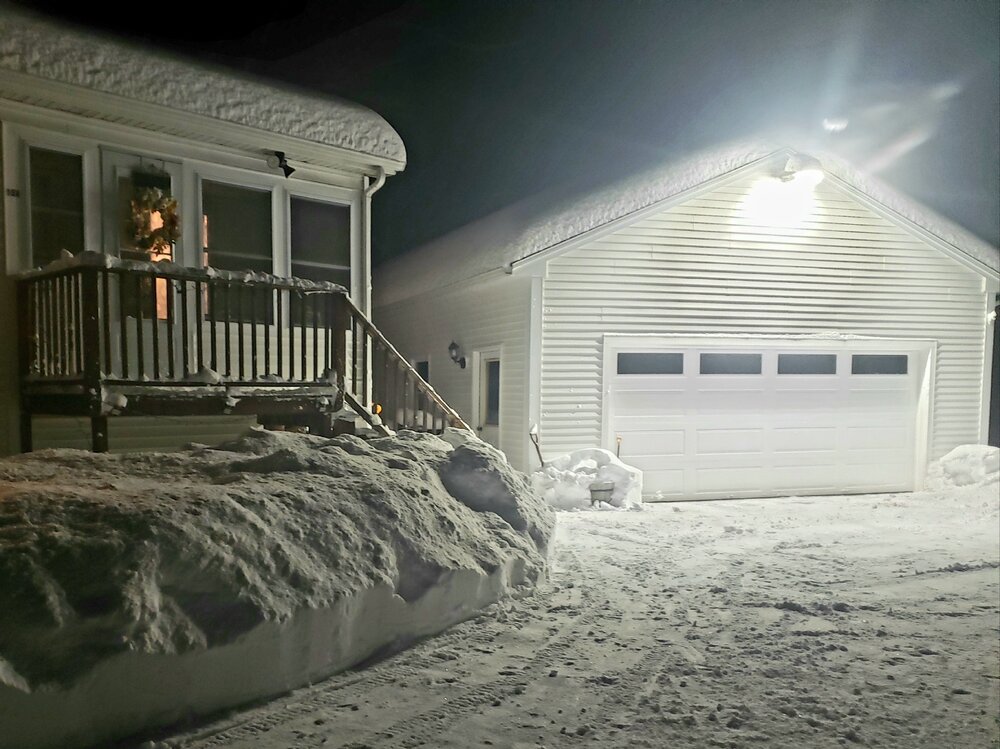
Still pounding snow, gusting into the 40s, no power since 6pm. Someone in Maine might hit blizzard criteria.
-
2"+ an hour and gusting to 35-40. Awesome scene out there. Driving was brutal though.
-
Great area. My wife and I got married there and most of the town is >1,200'. The place we got married was ~1,500'.
-
The last hurrah? Putting all the eggs in the Tuesday 3/14 basket
PowderBeard replied to Ginx snewx's topic in New England
Current radar looks impressive and there is a lot more convection than modeled. -
We deep.
-
Solid 8" out there and still dumping.
-
The event of the season - 2 days of hell!
PowderBeard replied to Go Kart Mozart's topic in New England
Just hit -15, wow. -
Deep winter, at least for this transplant. I believe we are at ~36-37" in the past two weeks now.