
Kleimax
-
Posts
465 -
Joined
-
Last visited
Content Type
Profiles
Blogs
Forums
American Weather
Media Demo
Store
Gallery
Everything posted by Kleimax
-
Next
-
Storm east of Thurmont could get interesting
-
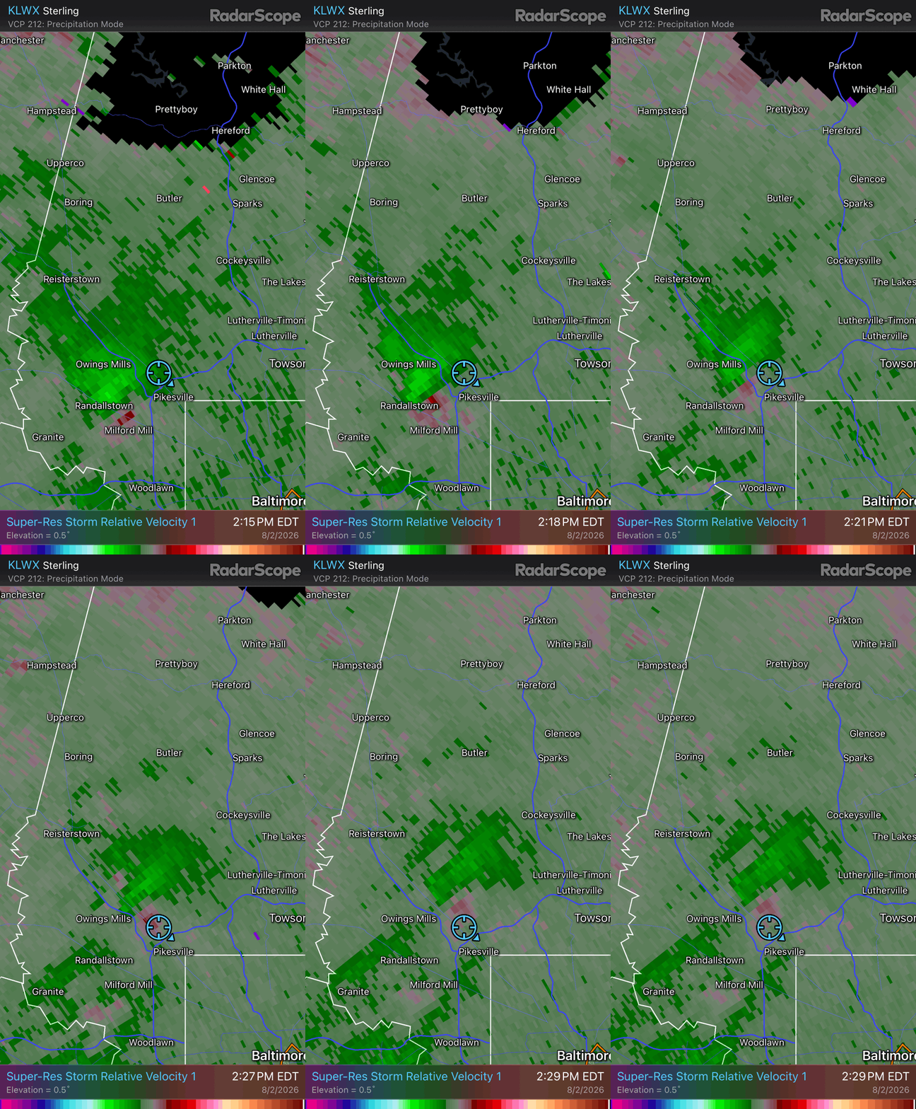
I can see the Owings Mills split already coming
-
Looks like some decent wind heading towards Rock Hall on the eastern shore
-
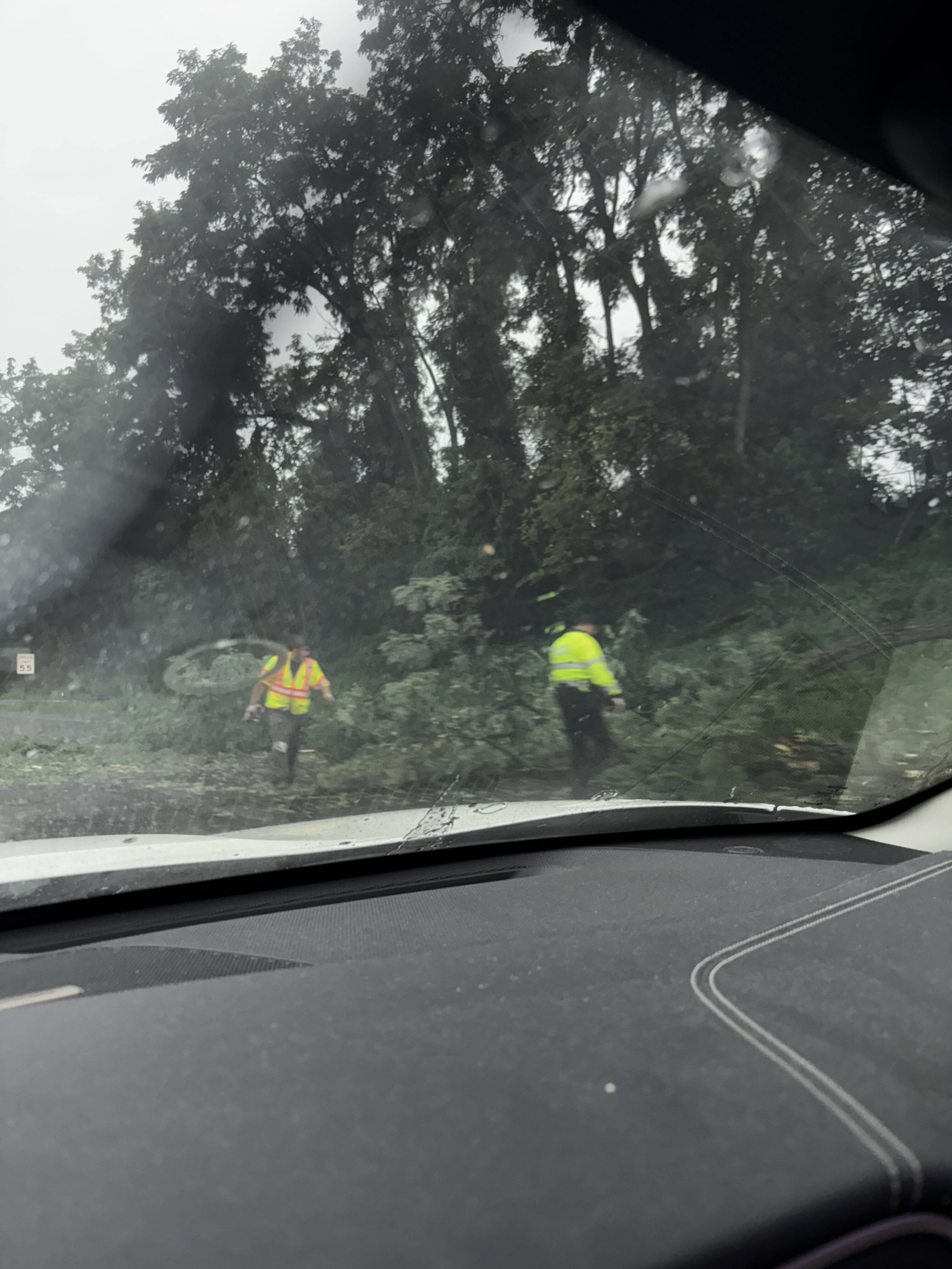
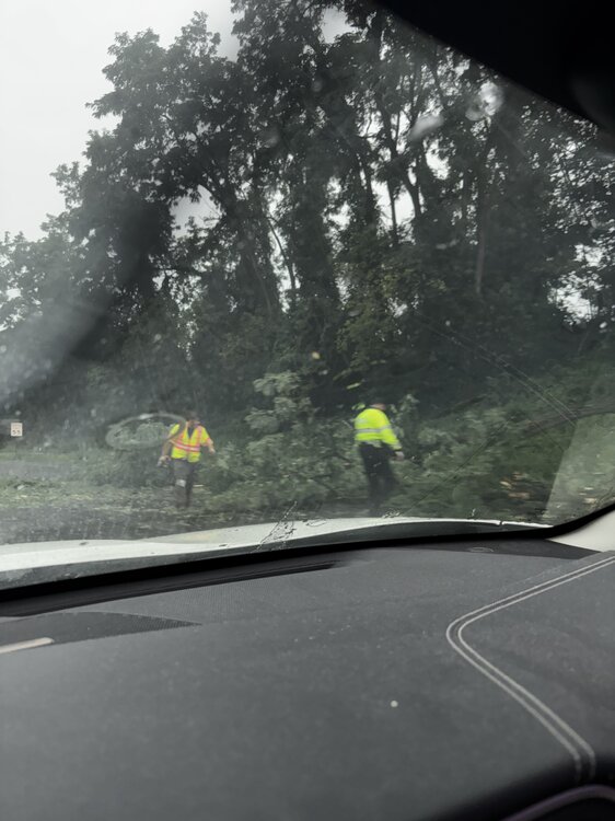
A buddy of mine sent me a picture of some trees down on 29 near Ellicott City
-
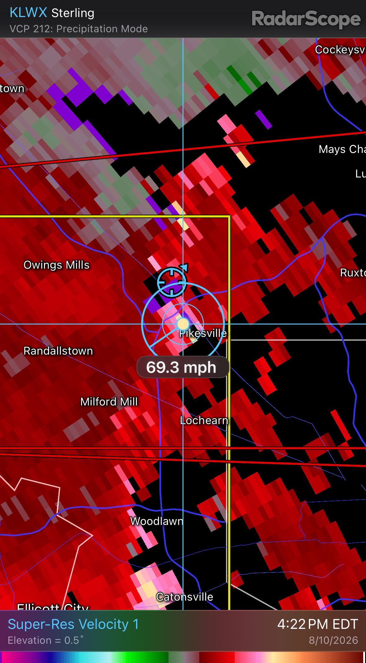
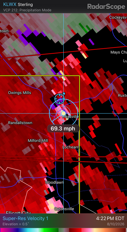
Honestly it wasn’t that bad here. I’m just north of Pikesville. Those velos def didn’t make it to the surface here, maybe a few 50 mph gusts in the gust front
-
What tilt should I be using
-
Just to my south
- 2,562 replies
-
- 1
-

-
- severe
- thunderstorms
- (and 7 more)
-
Severe Thunderstorm Warning National Weather Service Baltimore MD/Washington DC 410 PM EDT Mon Aug 10 2026 The National Weather Service in Sterling Virginia has issued a * Severe Thunderstorm Warning for... Southeastern Carroll County in north central Maryland... Northern Howard County in central Maryland... Southwestern Baltimore County in northern Maryland... * Until 445 PM EDT. * At 410 PM EDT, a severe thunderstorm was located over Sykesville, or 10 miles northwest of Historic Ellicott City, moving east at 40 mph. THIS IS A DESTRUCTIVE STORM FOR NORTHERN HOWARD AND SOUTHWESTERN BALTIMORE COUNTIES. HAZARD...80 mph wind gusts. SOURCE...Radar indicated. IMPACT...Expect considerable damage to trees and power lines. Your life is at significant risk if outdoors. In addition to some trees falling into homes, wind damage is possible to roofs, sheds, open garages, and mobile homes. * Locations impacted include... Columbia, Pikesville, Elkridge, Historic Ellicott City, Ellicott City, Catonsville, Woodlawn, Randallstown, Owings Mills, Eldersburg, Milford Mill, Lochearn, Arbutus, Mount Airy, Sykesville, Oakland, Ilchester, Garrison, Henryton, and West Friendship. PRECAUTIONARY/PREPAREDNESS ACTIONS... For your protection move to an interior room on the lowest floor of a building. Large hail, damaging wind, and continuous cloud to ground lightning are occurring with this storm. Move indoors immediately. Lightning is one of nature's leading killers. Remember, if you can hear thunder, you are close enough to be struck by lightning. Torrential rainfall is occurring with this storm, and may lead to flash flooding. Do not drive your vehicle through flooded roadways. && TIME...MOT...LOC 2010Z 276DEG 36KT 3938 7693 THUNDERSTORM DAMAGE THREAT...DESTRUCTIVE HAIL THREAT...RADAR INDICATED MAX HAIL SIZE...<.75 IN WIND THREAT...RADAR INDICATED MAX WIND GUST...80 MPH $$ DHOF Just got this
- 2,562 replies
-
- 1
-
-
- severe
- thunderstorms
- (and 7 more)
-
Not even seeing velocities above severe levels anymore
-
Seems like the velocities are weakening on the last few scans
-
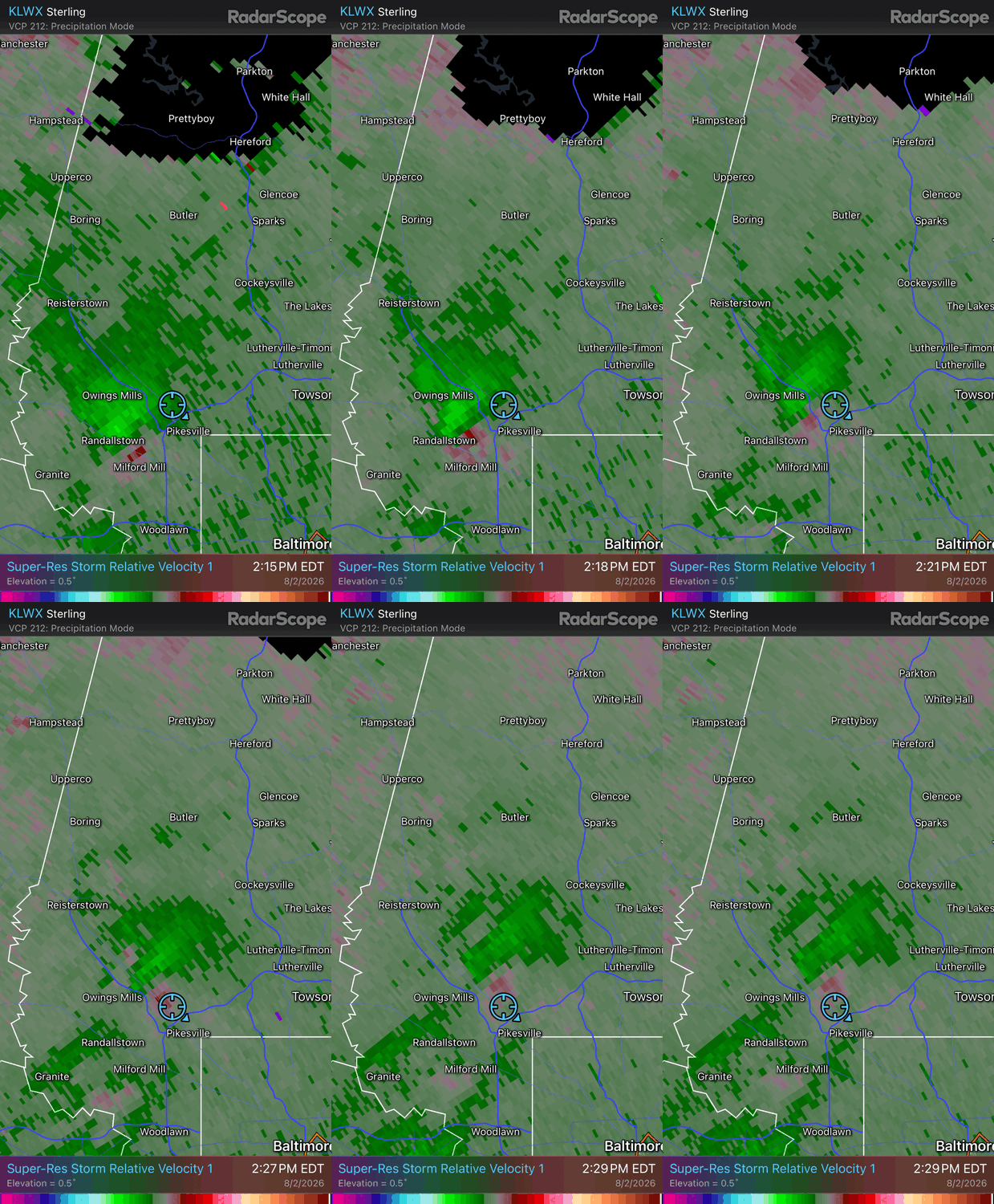
It got a little windy and some heavy rain but I wasn't really able to see anything in the way of rotation here in Pikesville / Garrison
- 2,562 replies
-
- 1
-

-
- severe
- thunderstorms
- (and 7 more)
-
Seems like some rotation on that one moving north out of Columbia
-
https://x.com/wxmvpete/status/2079688400559345958?s=20
-
Seems like there’s a force field Baltimore north and west to prevent any storms from firing up
-
Was dumping in that band but it shifted west a bit
-
Yuge Flakes in Garrison / Pikesville
-
A little wind in Pikesville, Power flickered a few times. Nothing crazy
-
Looks like DT called out Jays Wintery Mix on Facebook for posting the HRDPS and referring to it as the NAM, you hate to see it @Ji
-
2.5in on top of my car in Garrison
-
 Chuck was right about everything
 -
Dry Air
-
The Jan 31 Potential: Stormtracker Failure or 'Tracker Trouncing
Kleimax replied to stormtracker's topic in Mid Atlantic
I’ve got a feeling we haven’t reached the peak yet -
Probably somewhere around 7 inches. Sleet has taken over now
-
Flake size starting to increase. Started Jebwalk around 7:50 mostly just icy little flakes, they’re starting to get a little fluffier now. Wind is def gusting and the snow is drifting a bit. Deep winter out there