mikem81
-
Posts
1,170 -
Joined
-
Last visited
Content Type
Profiles
Blogs
Forums
American Weather
Media Demo
Store
Gallery
Everything posted by mikem81
-
The NAM has wild swings after HR 48 (as we saw big time last weekend). Wouldn't look at it until tomorrow 12Z plus its always overamped after hour 60. Stick to EURO/CMC/GFS blend and look at trends today
-
Best chance for NYC snow might be for 2 separate waves. wave one amped and bring down cold air before wave 2 for snow.
-
Will be interesting to see the ultimate strength and orientation of the HP. I remember a late season storm around 10 years ago that was supposed to crush the area that ended up so far south that DC saw all the snow and we got no precip at all. Can see this going either extreme at this point (HP comes in too late and west and we rain followed by dry cold or HP comes in stronger and in eastern Canada and we snow)
-
HRRR and RAP both have .3-.4 precip for the area
-
For tomorrow?
-
How was 18Z EURO?
-
I have some advice for everyone/. If there is a big storm coming and you really dont want to miss up/. Do it Jim Cantorii style. Go to the storm. I went to Monticello Sunday night with the family and we saw about 11-12 inches. drove back to LI last night. No snow to shovel... obviously an expensive hobby, but worth it 1-2 times a winter
-
How do you get it an hour early...
-
Nothing is dead 96 hours out....this coming from someone who wont even be in town this weekend...
-
Quick Poll: If I am taking my kids somewhere on Sunday Night/Monday to see good snows; what is best within 100 miles of NYC?
-
I hope you are correct as some of these models show very little snow anywhere close to the area... At least in prior years I was able to take my kids to Rockland to enjoy the storms.
-
Interesting especially since these tend to amp NW, but basically useless at this stage..
-
These are all over the place...
-
THe entire h5 would need to shift 100 miles southeast to avoid sleet at this point.
-
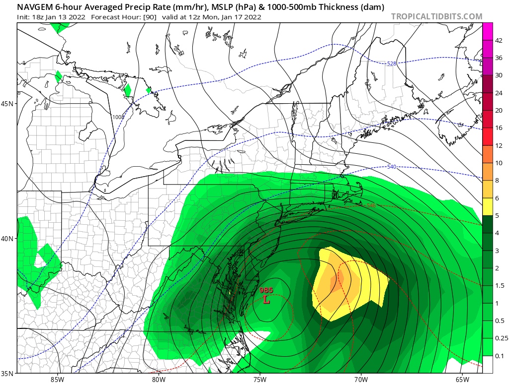
A few observations from 12Z EURO: 1. Forget the surface map (it is pretty ugly) 2. Big improvement at 850 and 500 MB 3. Look at 500MB difference position between 0Z and 12Z (looks about 100 miles SE of 0Z) 0Z 12Z 850MB LP (same SE movement 0Z 12Z
-
Tomorrow's storm failing us in this respect...
-
The GEFS went west but still better than OP
-
Also I would think if it slows down anymore the vort coming in from Canada kicks it east..
-
Monitoring a potential important TV to East Coastal storm: Jan 17
mikem81 replied to Typhoon Tip's topic in New England
Thats why I wanted to know. Still need another 50-100 miles SE.. -
Monitoring a potential important TV to East Coastal storm: Jan 17
mikem81 replied to Typhoon Tip's topic in New England
What did this show at 12Z?