leo2000
-
Posts
650 -
Joined
-
Last visited
Content Type
Profiles
Blogs
Forums
American Weather
Media Demo
Store
Gallery
Everything posted by leo2000
-
According to Bluewave the +AAM is waning so allowing Mjo to influence the pattern as it enters into Maritime continent. It shows a temporary transient mild up on the 12th of december but gets cold again afterwards on the GEFS.
-
Too bad it can't come sooner I really really want a white Christmas for a change.
-

It was a Flop... February 2024 Disco. Thread
leo2000 replied to Prismshine Productions's topic in New England
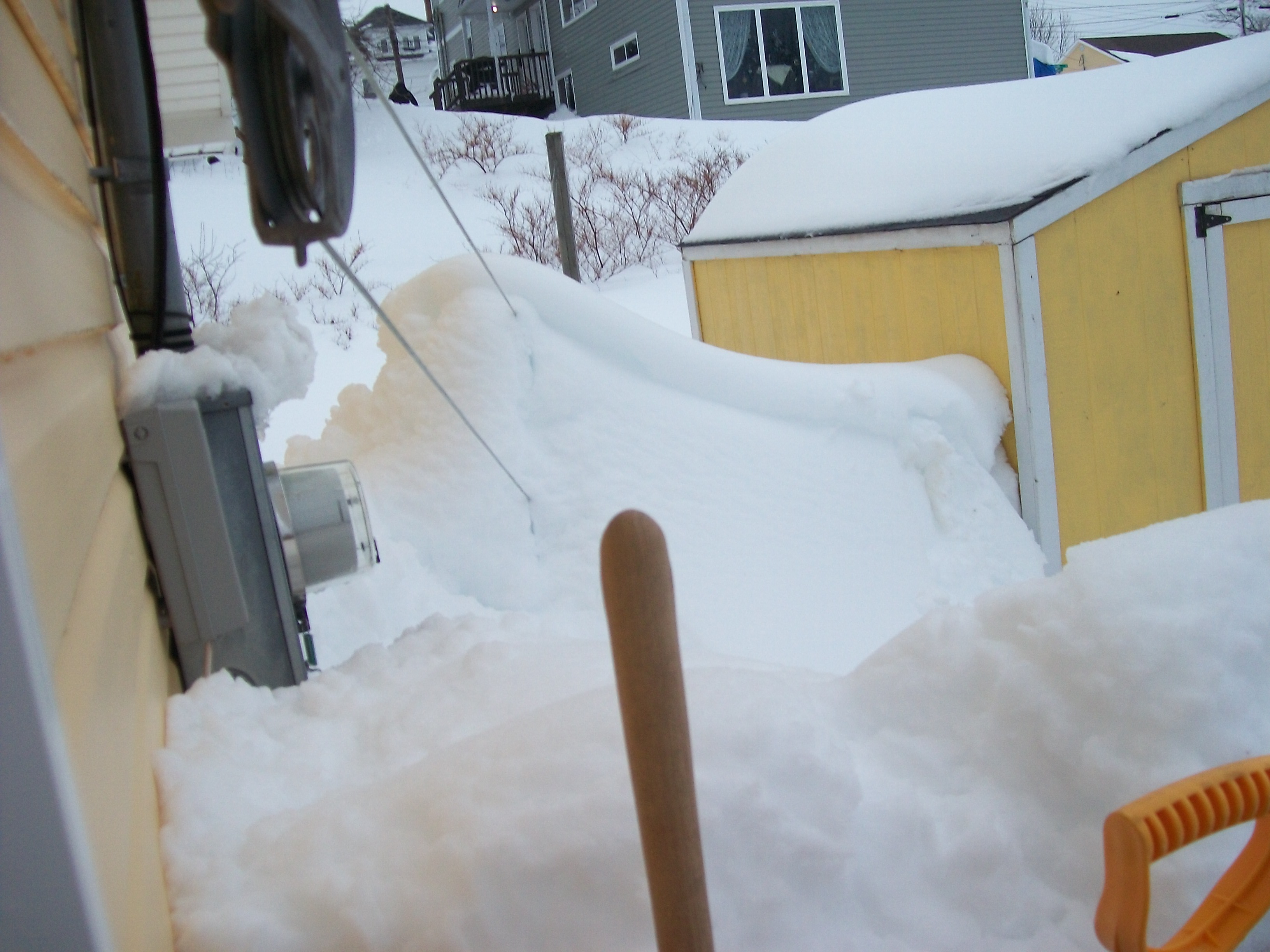
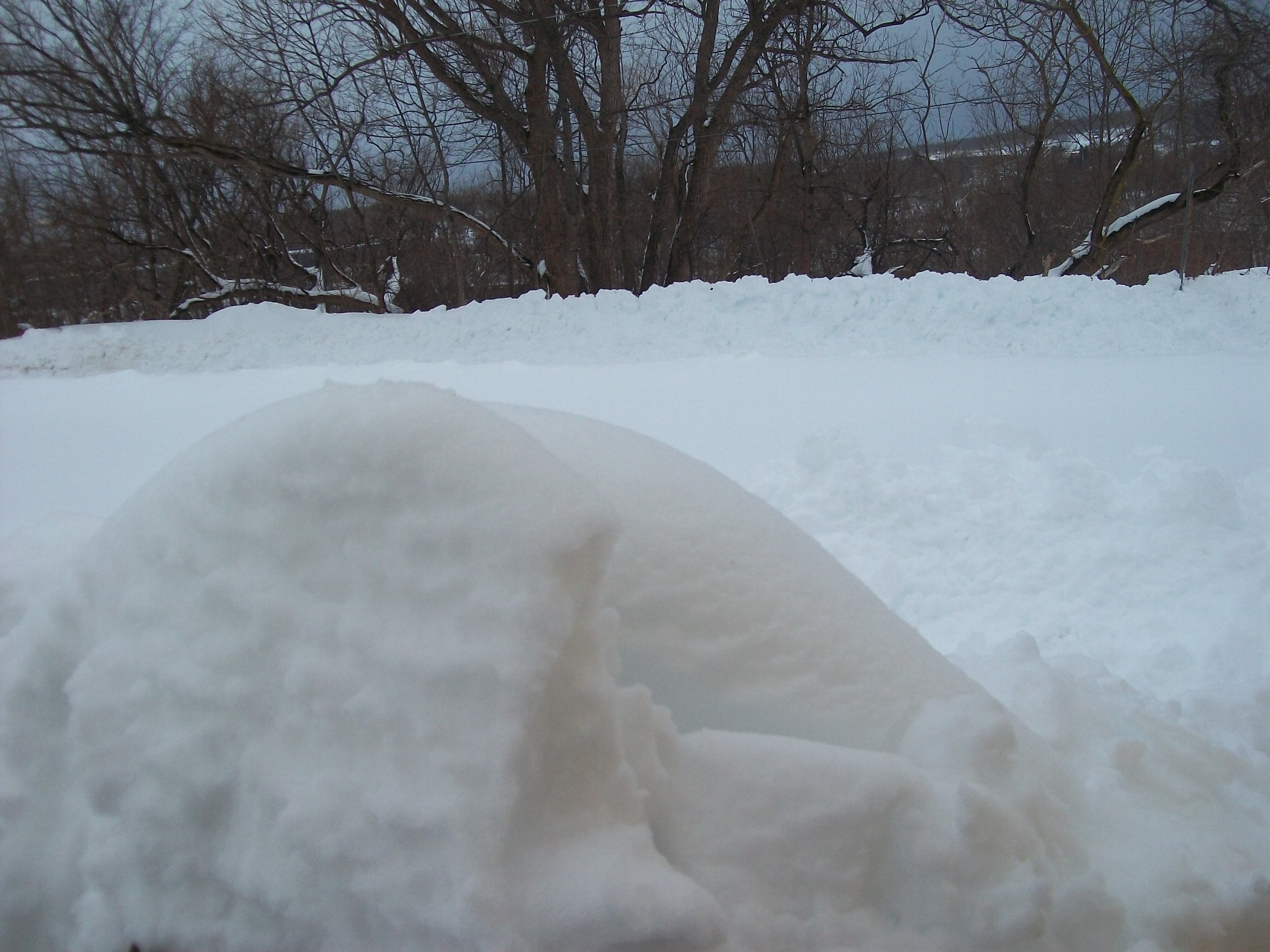
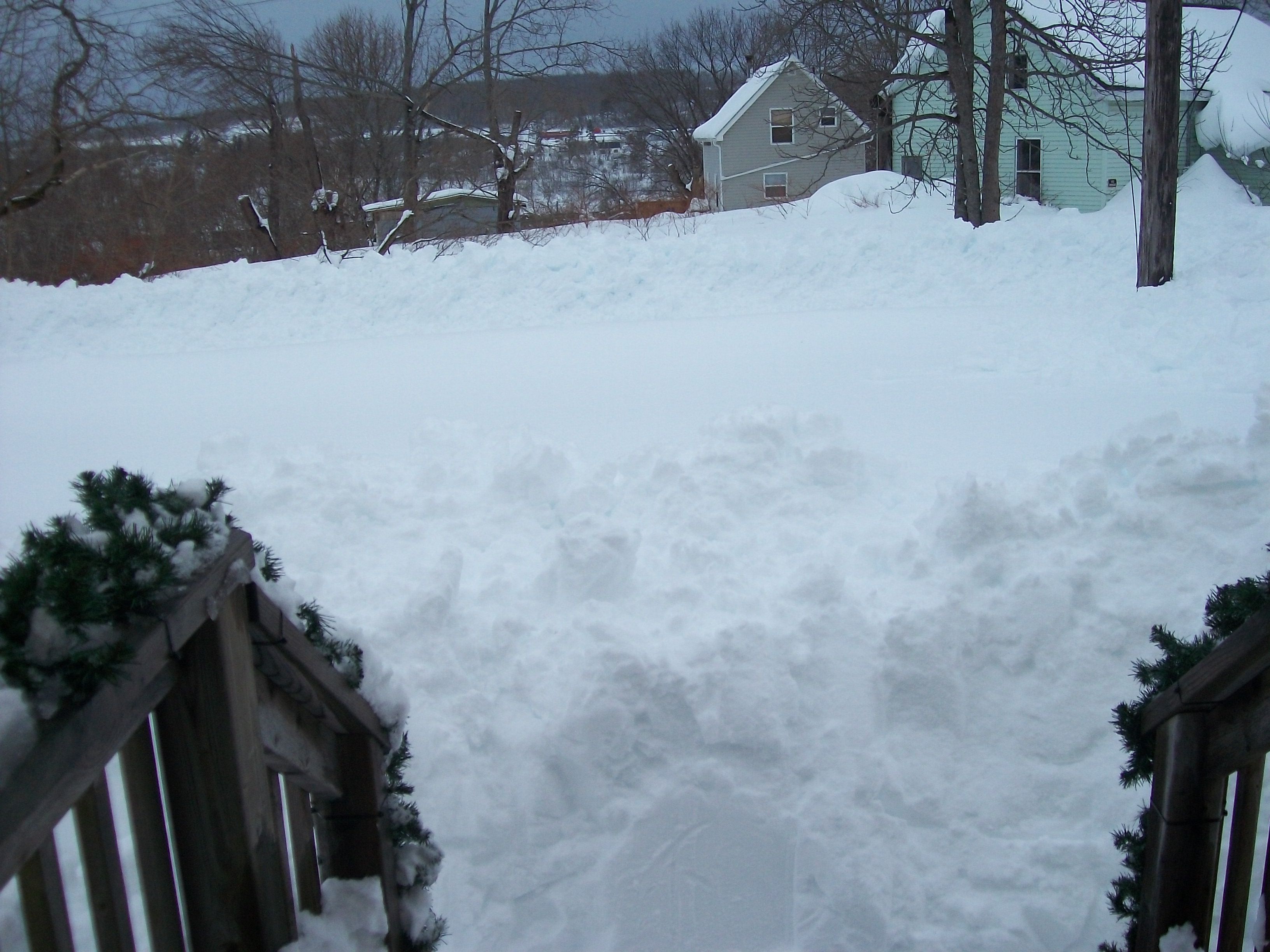
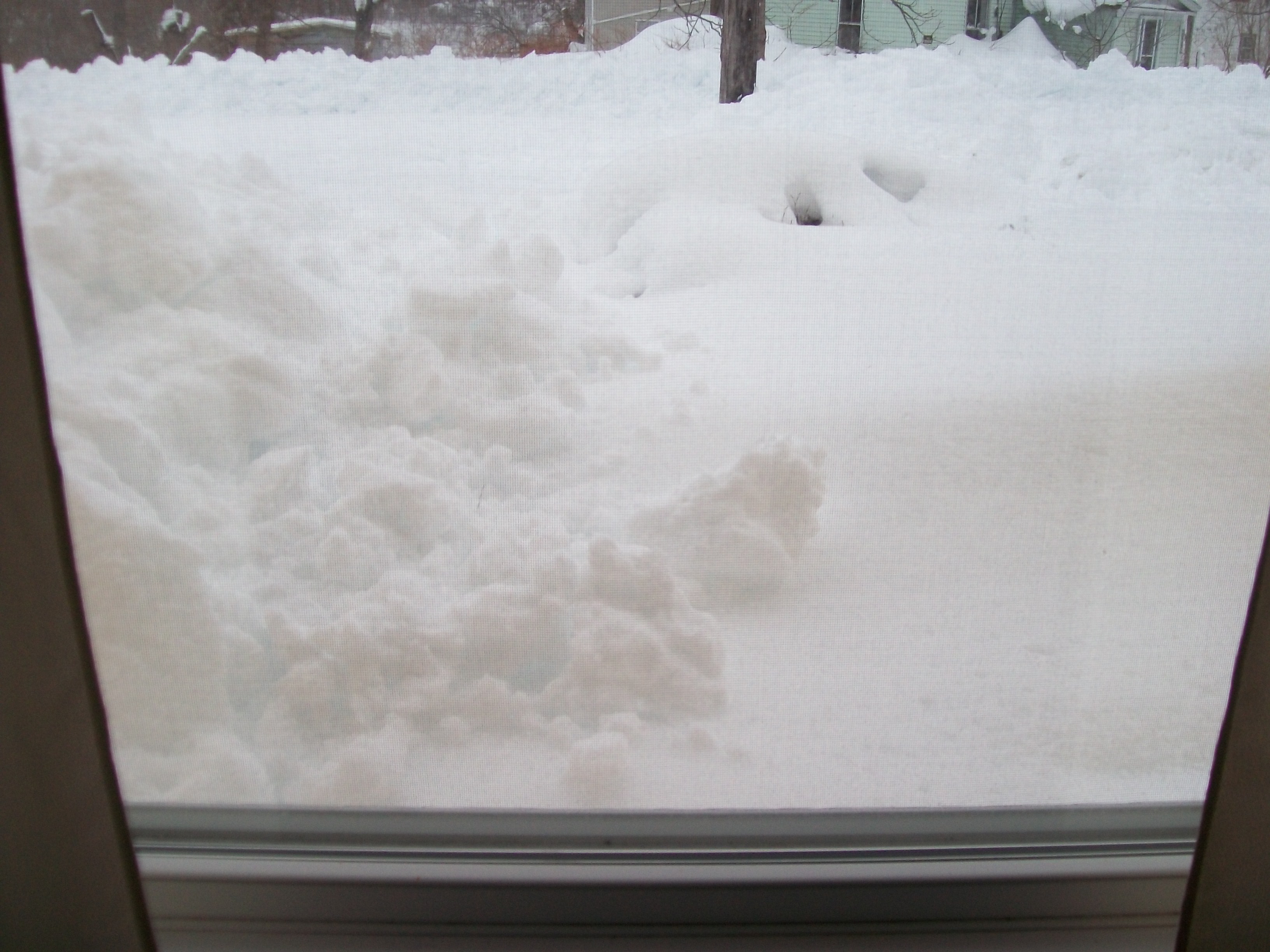
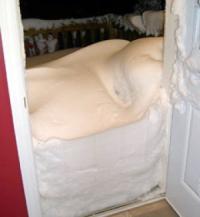
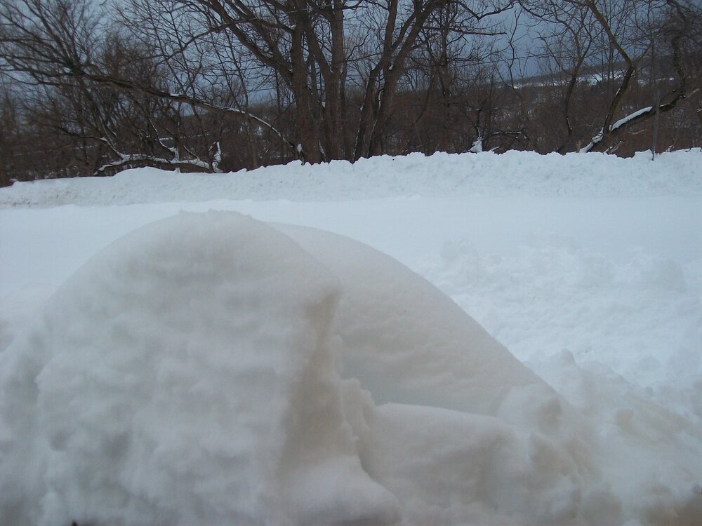
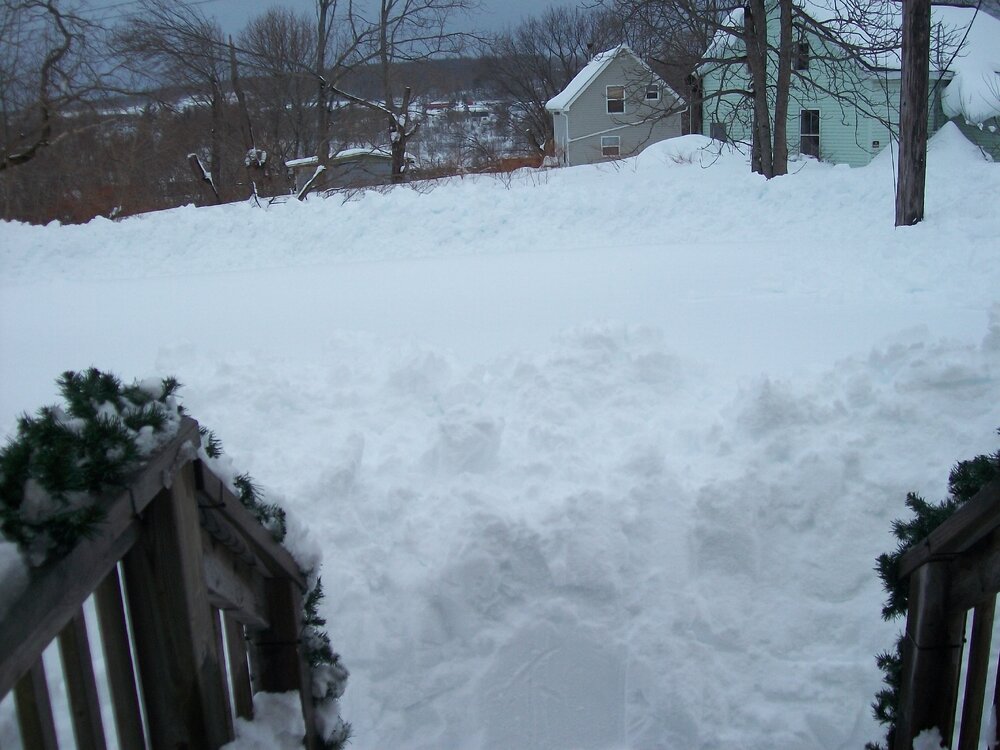
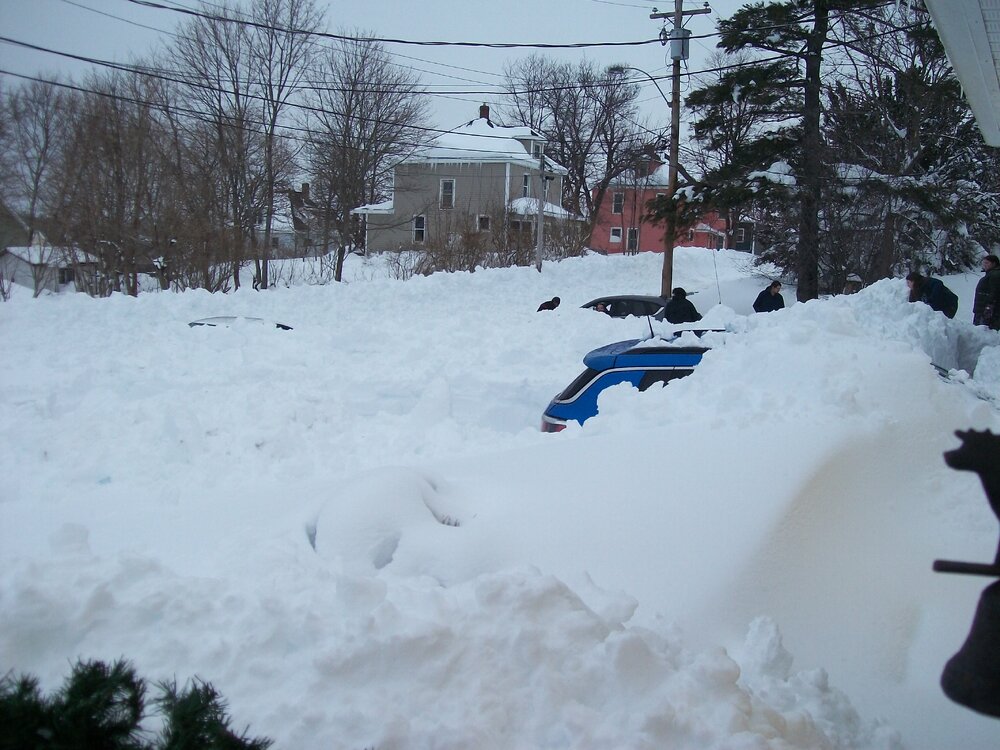
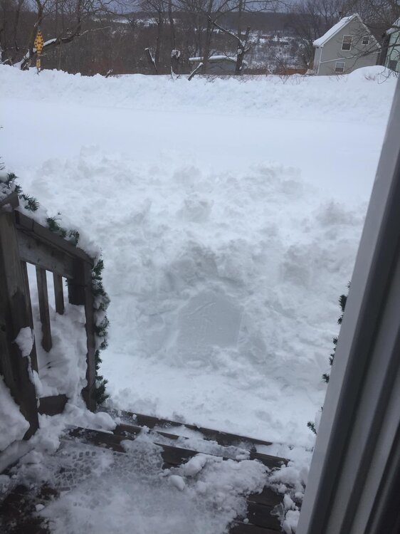
Pictures of the historic snowstorm in my area of New Glasgow Nova Scotia. Snowfall was 60 inches with snowdrifts making it even higher.
-
It was a Flop... February 2024 Disco. Thread
leo2000 replied to Prismshine Productions's topic in New England
Yes indeed its absolutely insane with the amounts of snow. -
This winter
-
Interesting that the NavGem still shows a snowstorm coming up the east coast on the 19th-20th period.
-
Jan Medium/Long Range Disco: Winter is coming
leo2000 replied to stormtracker's topic in Mid Atlantic
Unfortunately not happening with that MJO phase 4 wave. The pacific ocean has been really cutting our winters short the last 4 years with a pacific firehouse, -PNA and the MJ0 lag in the MC. -
Jan Medium/Long Range Disco: Winter is coming
leo2000 replied to stormtracker's topic in Mid Atlantic
Not just him but bluewave on the New York forum too. MJO strong wave in Maritime Continent is not where we want it. -
Looks like very interesting times ahead. Some of these systems look like cutters but morph into snowstorms.
-
But November is now a winter month and doing better than December is.
-
Who's saying that the pv is not splitting?. Bamwx still going with a split.
-
The problem is it looks like a brief -EPO as the subseasonal models want to bring back a +EPO and negative PNA.
-
It's cold enough for snow.
-
Yes that would fit MJO phase 8 pattern. I wonder if the charts were wrong about the MJO stalling in phase 7 as the charts are now showing it moving into phase 8.
-
By looking at those temperatures you would think it was an inferno nowhere close to that.
-
I was just looking at the GEFS chart for the mjo shows it going to phase 8 just around Christmas it has sped it up.
-
GFS op models still showing a storm on 23rd-24th-25th day range.
-
Courtesy from Bamwx on X
-
Haha that has been showing up a lot in that period. Something to possibly watch depending of course if the Canadian and Euro also has something brewing as well in that time period. The problem of course very little cold to work with unless it generates it's own cold.
-
I am going to need a big bottle of Jack Daniel's to get through another December like this. Seems like a gruesome ugly cycle to have this same old ugly pacific pattern everytime right before the holidays. We have been going through this for 5 years now.
-
Bluewave shows warm anomalies across the country doesn't mean it can't snow. What you don't see there is the actual surface temperatures.
-
I hear from allsnow that the Euro Weeklies have can kicked the pattern change to January now.
-
There looks too be a coastal low on the 23rd december- 24th ish it's showing up on the gfs a lot. If timing is right on this maybe a snowstorm.
-
Nothing to worry about here strong mjo pulse into 5-7. 7 getting back into the colder phases of the MJO.
-
I don't believe them sadly they were dead wrong about the so called good pattern continuing.