eyewall
-
Posts
13,326 -
Joined
-
Last visited
Content Type
Profiles
Blogs
Forums
American Weather
Media Demo
Store
Gallery
Everything posted by eyewall
-
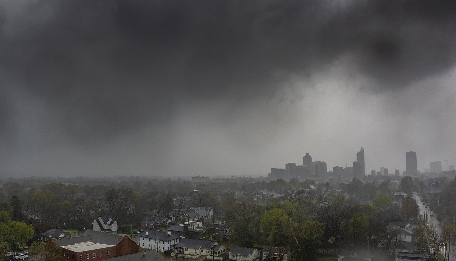
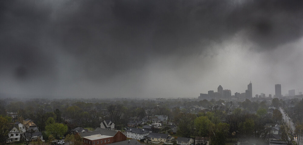
I was on the mini-supercell that came through Raleigh at the time of the tornado warning that sent Dave to shelter at the airport. It was obscured by rain but in editing the shots you can see a lowering left of the skyline. Some of it is a drop on the lens, but it's there. The only reason I processed these is because I thought I got a glimpse of something in realtime while in position.

-
I missed it. I went for the southern cell of the two but that gamble didn't pay off. It was likely in rain anyway.
-
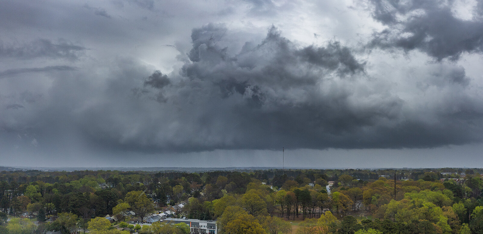
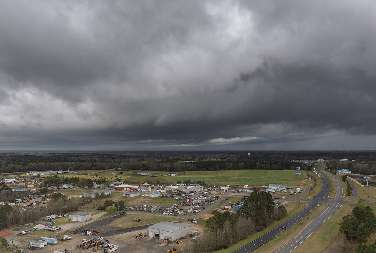
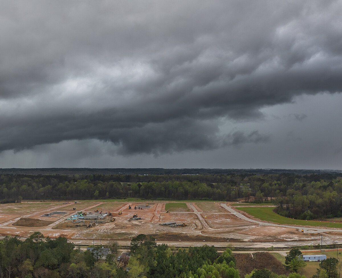
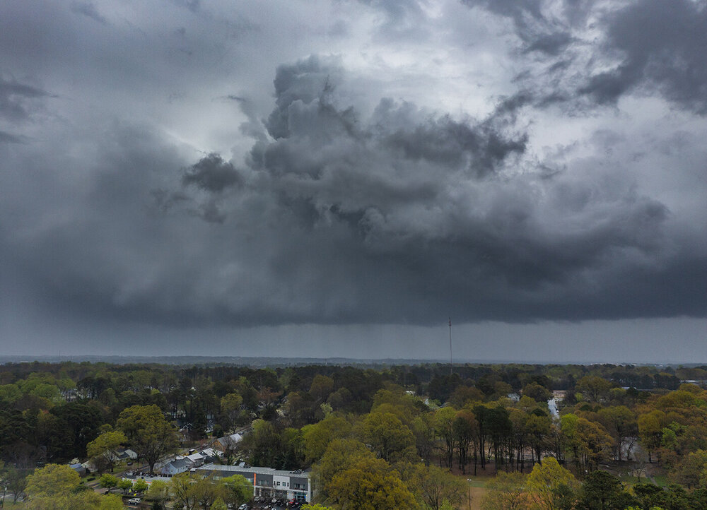
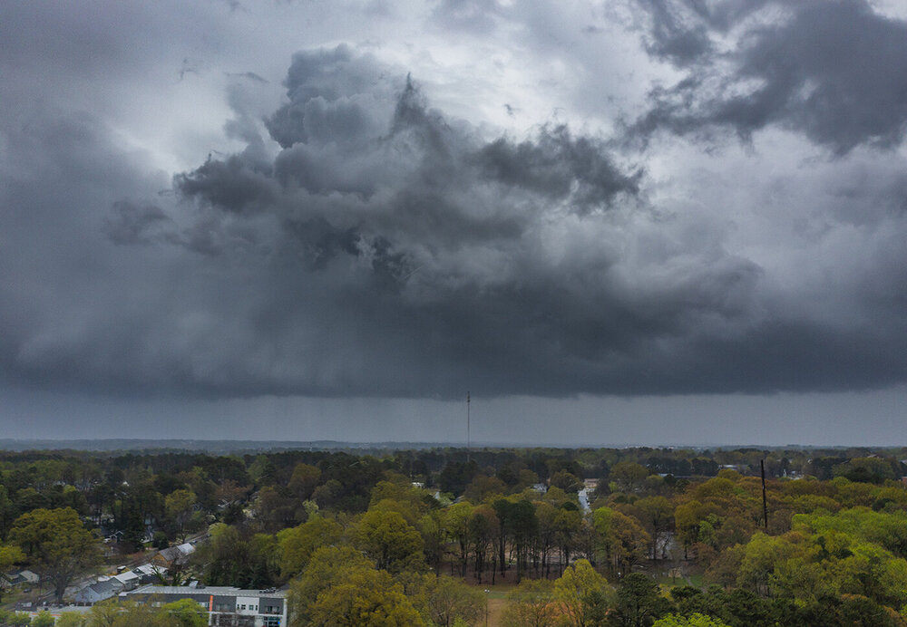
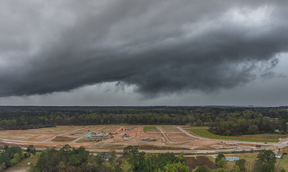
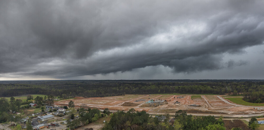
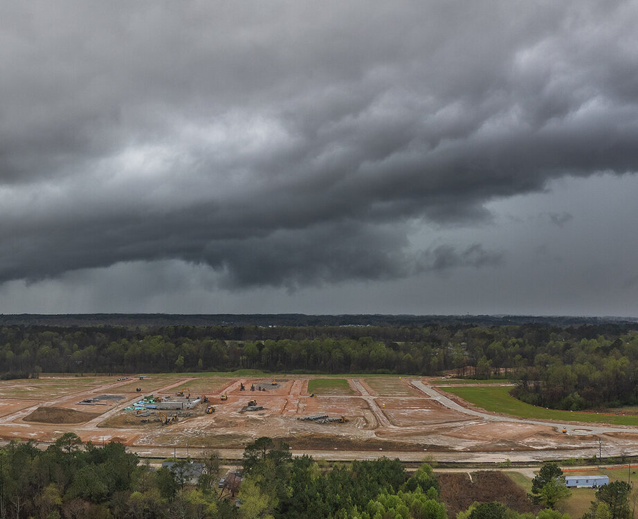
Here are the aerials of the updraft from the earlier mini supercell:

-
I managed to catch the updraft from the back side. Definitely a little mini supercell. I got some aerials
-
It looks like a mini supercell and yeah now looks like will pass just east of me as well.
-
If it wasn't raining ahead of it I would have the drone up.
-
It looks pretty junky out there. This won't be one for chasing and decent shots it looks like.
-
Yeah that last one I saw before I left would have been epic but it was only seen through breaks in the clouds.
-
Looks like a G3 possible tomorrow night.
-
I am pretty sure the experience of having to work at a fast food joint will harm him more than the tornado did.
-
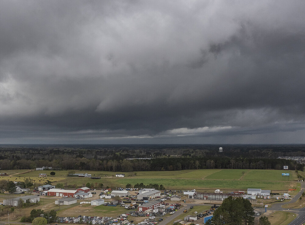
I went after the tornado warned storm south of Raleigh this morning. I got a look at the meso at it was dying out and then the notch in the line behind it. The line actually offered somewhat better shots.

-
Most of the subforum are not where the MDT is and farther east. Others joined another crappy board called SouthernWX.
-
It never fails
-
Jacksboro Texas got hit hard with major structural damage.
-
MDT Upgrade for central Texas.
-
I wish I could get over there for a chase but of course I will be working these events. Not often you see a D3 MDT. We will see if they upgrade as we get closer. I wouldn't snooze on tomorrow's TX threat either.
-
Yeah we needed it! Hopefully it results in a good supply of Oyster Mushrooms They are tasty.
-
Yeah the thunder had me awake at 3am.
-
March was always my favorite month to ski up there!
-
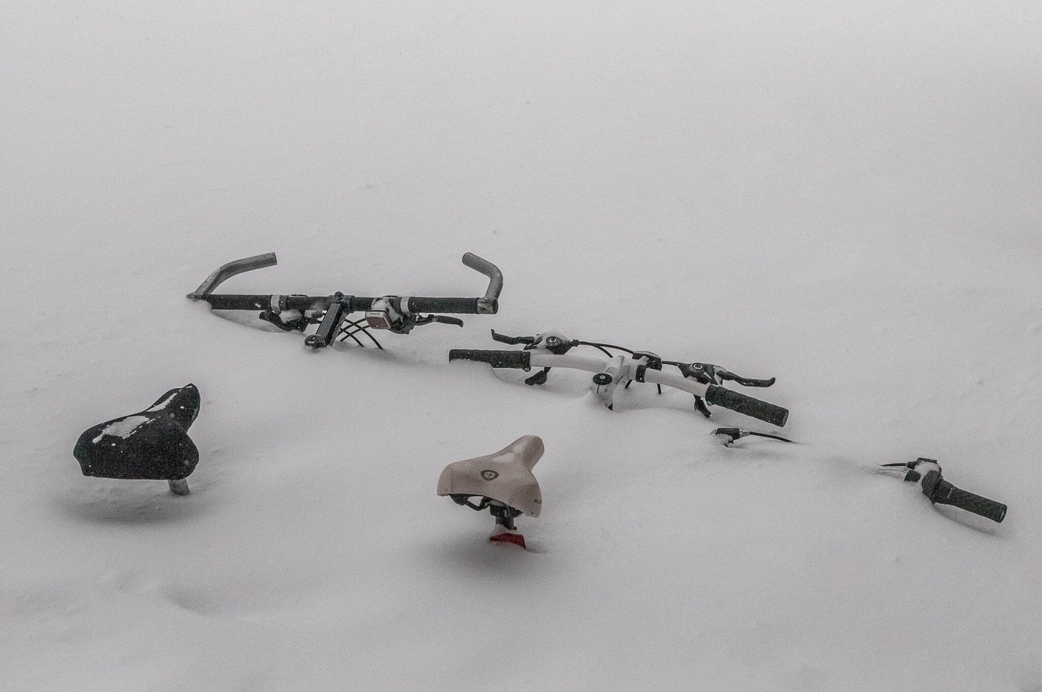
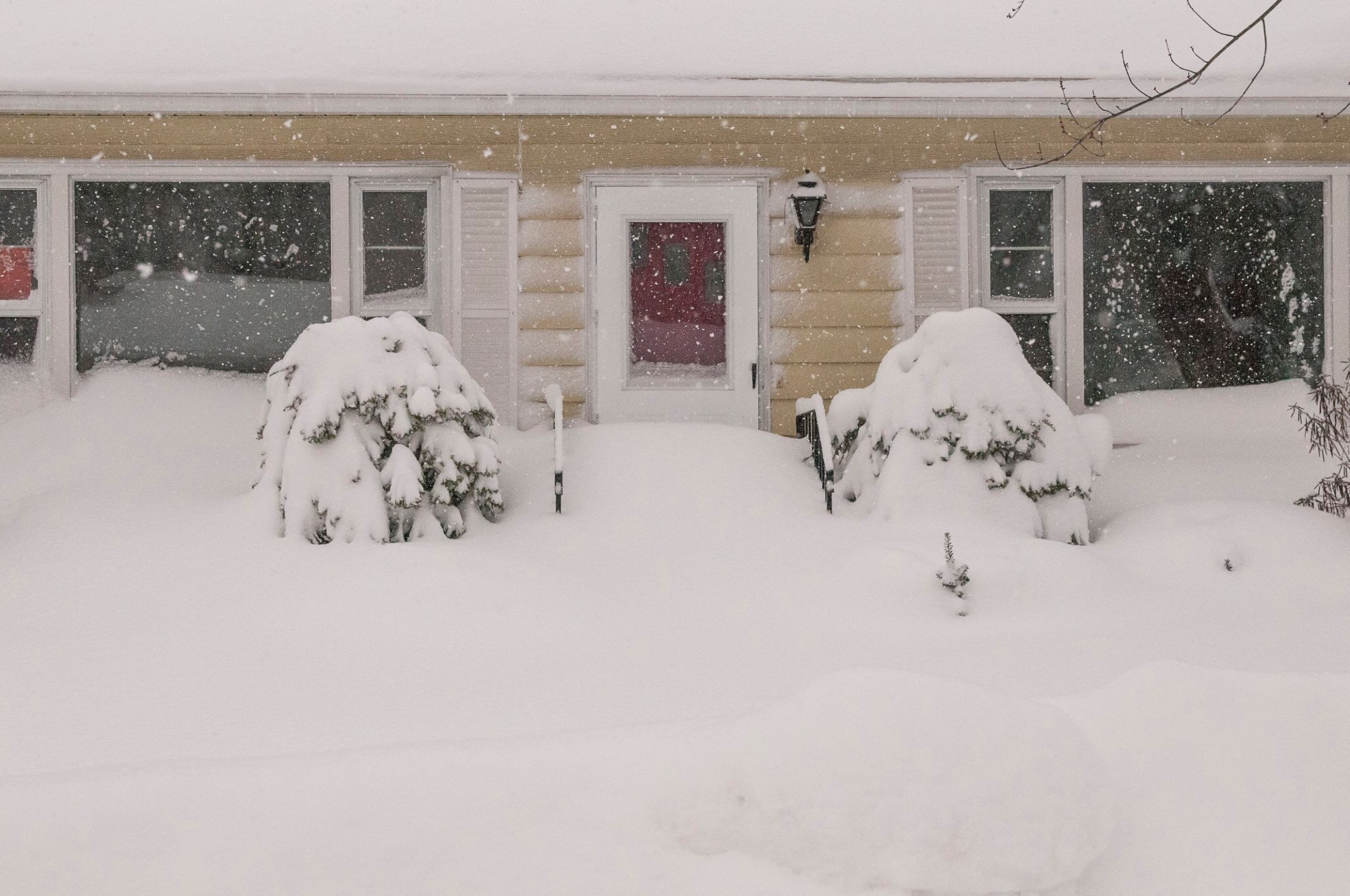
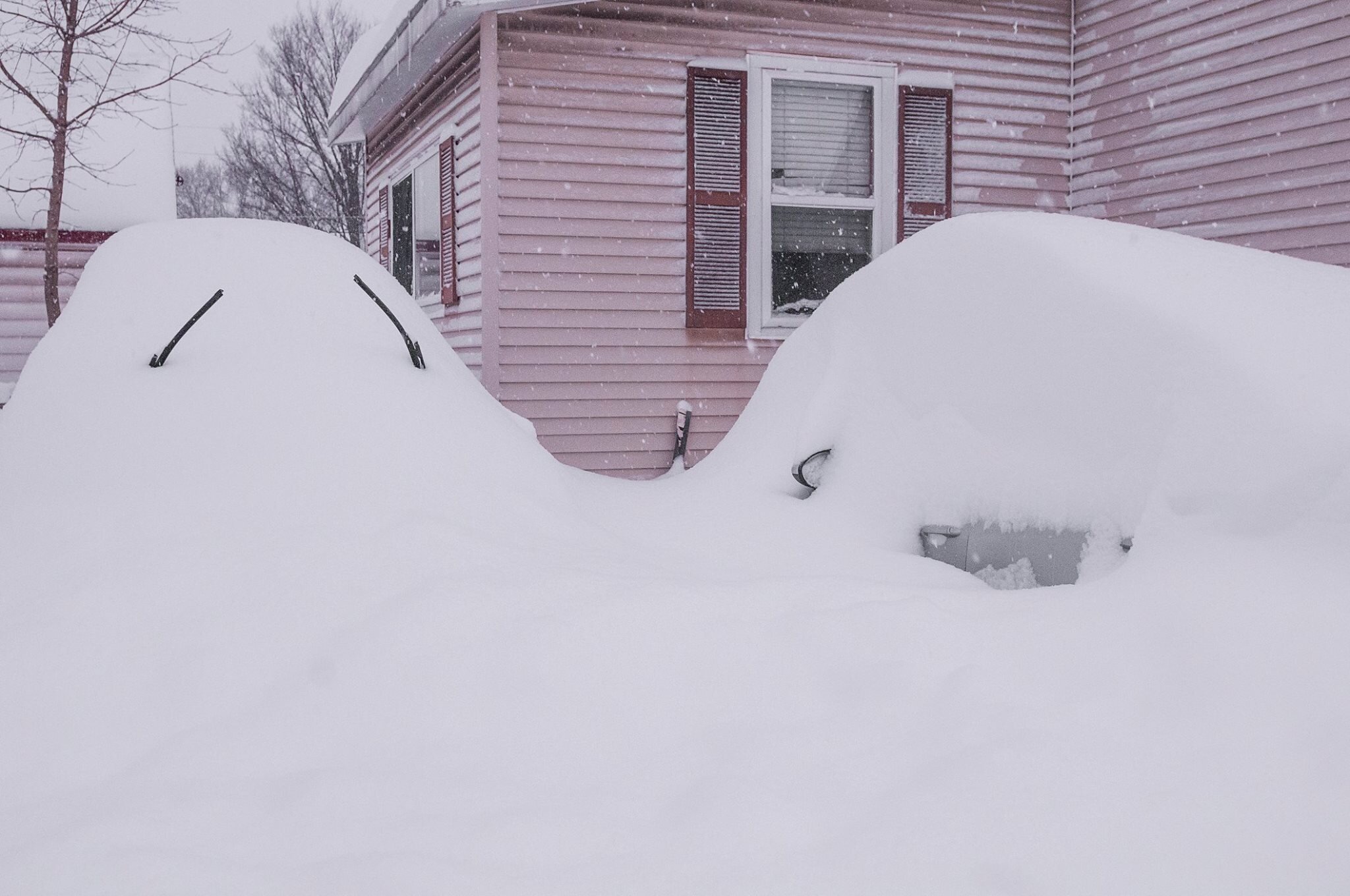
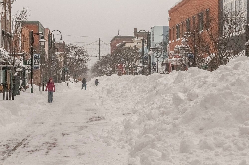
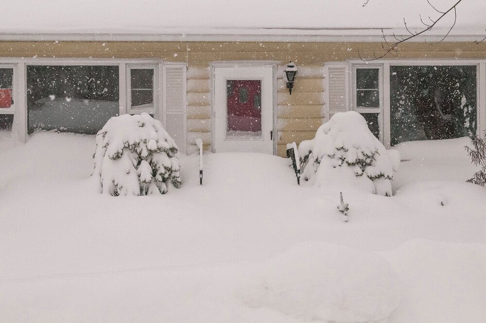
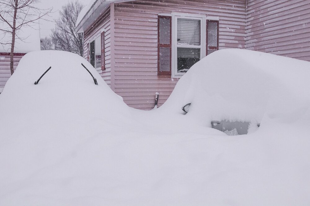
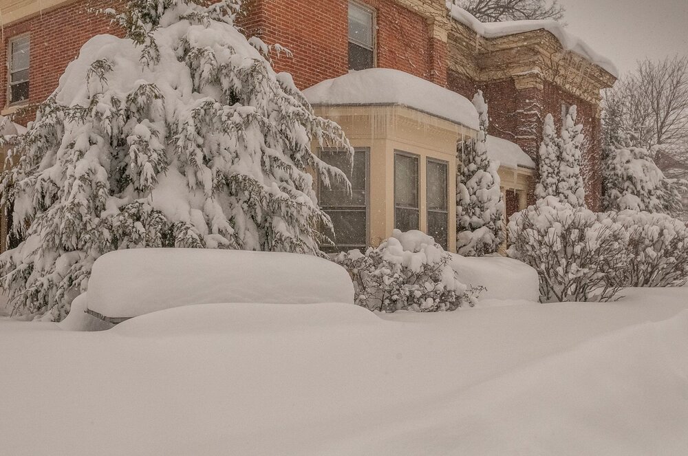
I was in Winooski, VT for the Pi Day storm 3/14-15 2017. It was the single greatest snowfall I have witnessed. I wish I still lived there. It was the first and only time I have witnessed a 30 inch event. Peak snowfall rate was 5 inches an hour.
-
Oh nice! Hopefully another burst of energy occurs.
-
Yeah and it backed off.
-
If it is clear up there you may see Aurora tonight once it gets dark. There is. g2 in progress with a very south Bz
-
If it is clear up there you may see Aurora tonight once it gets dark. There is. g2 in progress with a very south Bz.
-
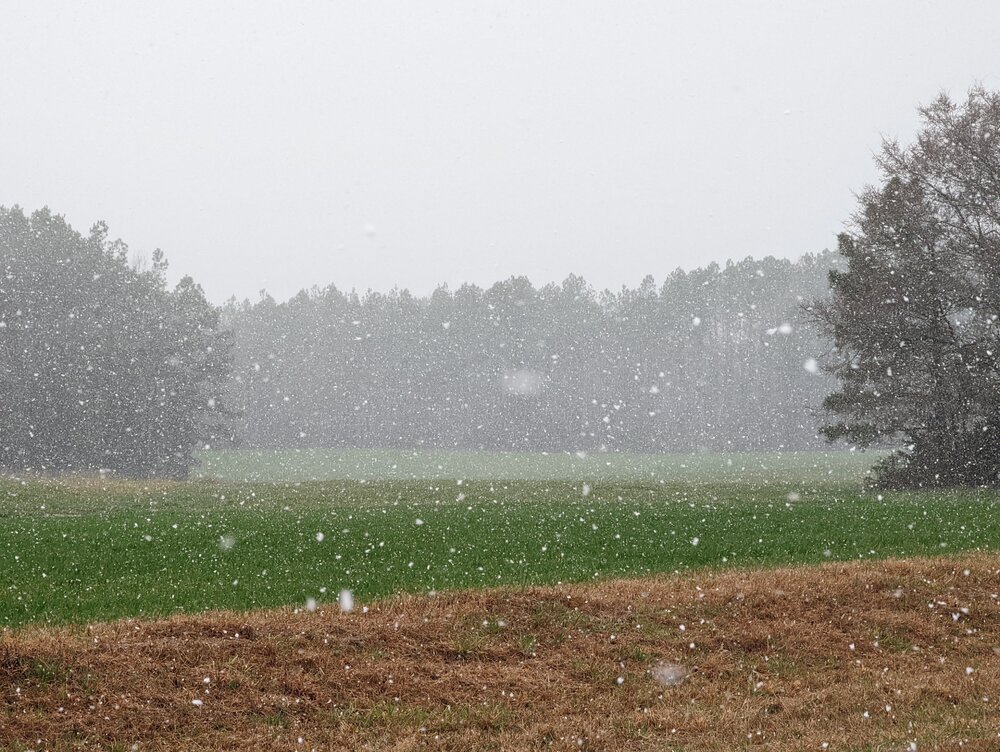
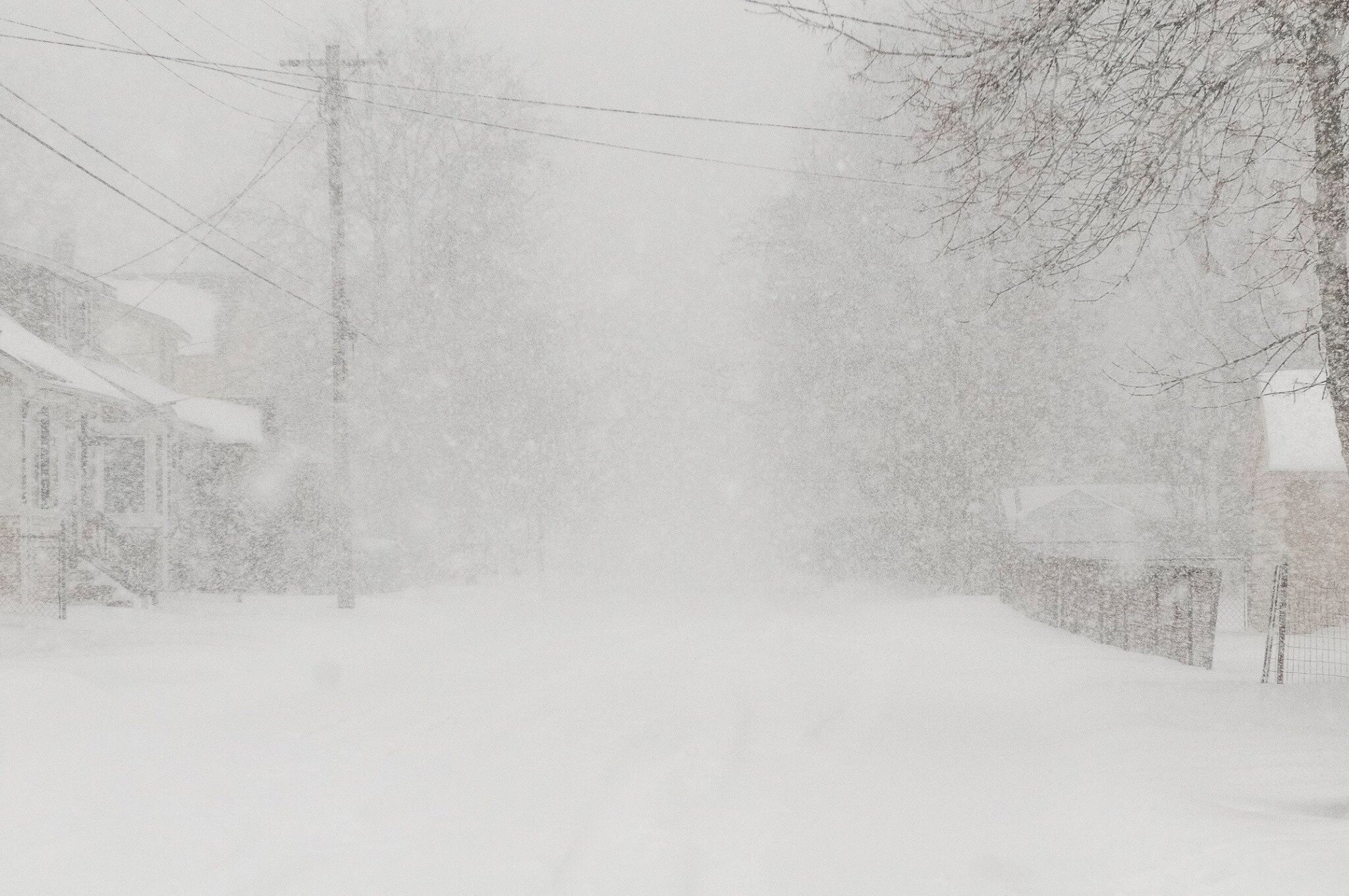
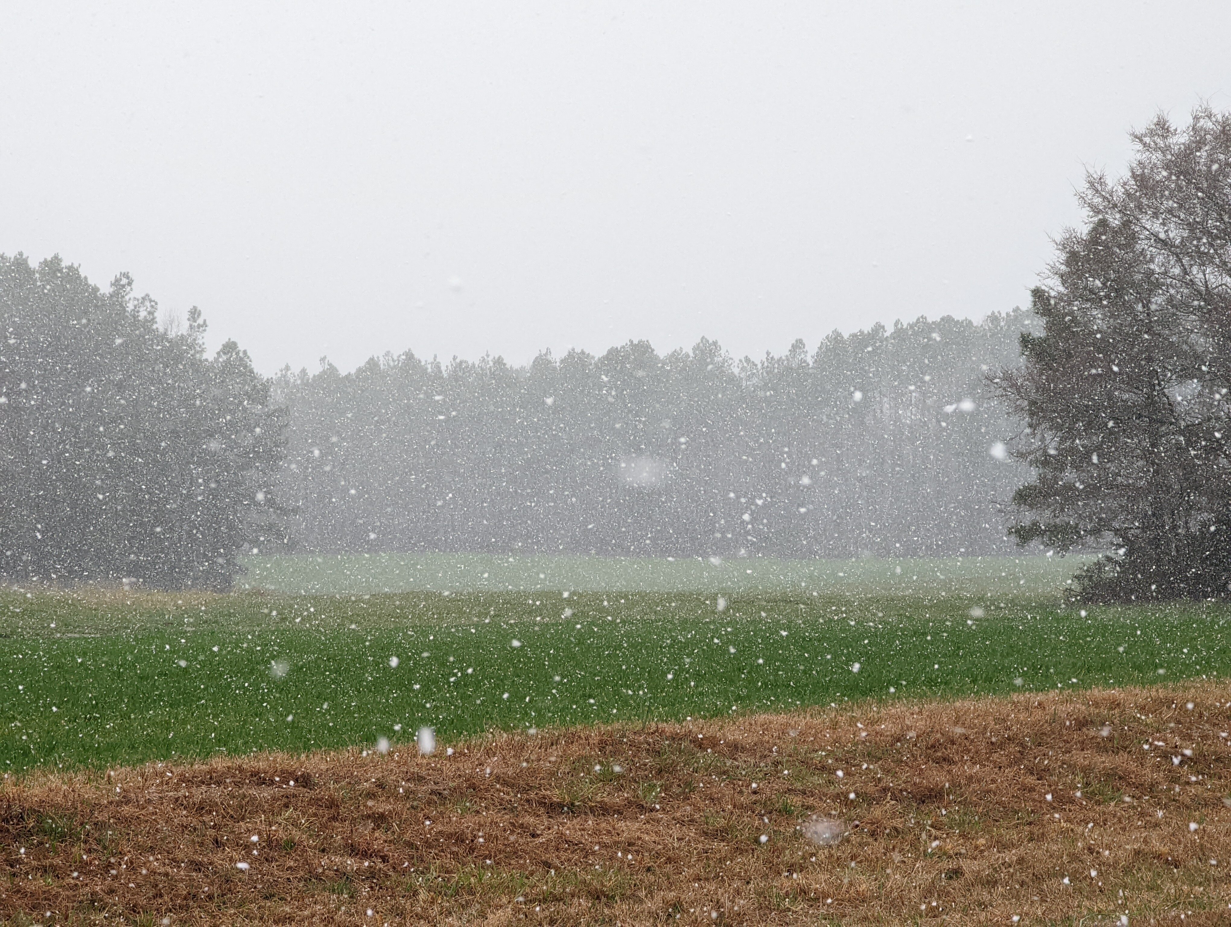
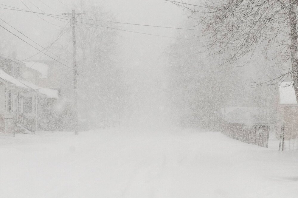
Visibility down to 3/4 of a mile. Maybe down to a half briefly. A dusting in certain spots but mostly not sticking.