MDstorm
-
Posts
1,892 -
Joined
-
Last visited
Content Type
Profiles
Blogs
Forums
American Weather
Media Demo
Store
Gallery
Everything posted by MDstorm
-
Some of us do live there and it is loud and wet.
-
Having CanSIPS and JMA on our side at this point is actually encouraging no matter what ECMWF and Chuck say
-

It's time to grade Winter 2025-26(now that it's actually over)
MDstorm replied to CAPE's topic in Mid Atlantic
C+ The overall cold temps and prolonged snow cover was unique for this area. However, lots of wasted cold and a failure to realize the potential of the Feb nor’easter, brought down the grade for this winter. Also, plenty of potential on medium and longer range guidance did not really translate into enough real trackable events. Seeing all of the high grades in this thread makes me realize how low climo standards have become. -
Sleeting in Lutherville.
-
I loved his balance of hope/optimism and realism in his forecast discussions for our area. He will be missed. RIP Roger.
-
Temp dropped 20 degrees in 20 minutes with wind gust to 46 mph. And, loss of electricity for the 2nd time in the last week.
-
-
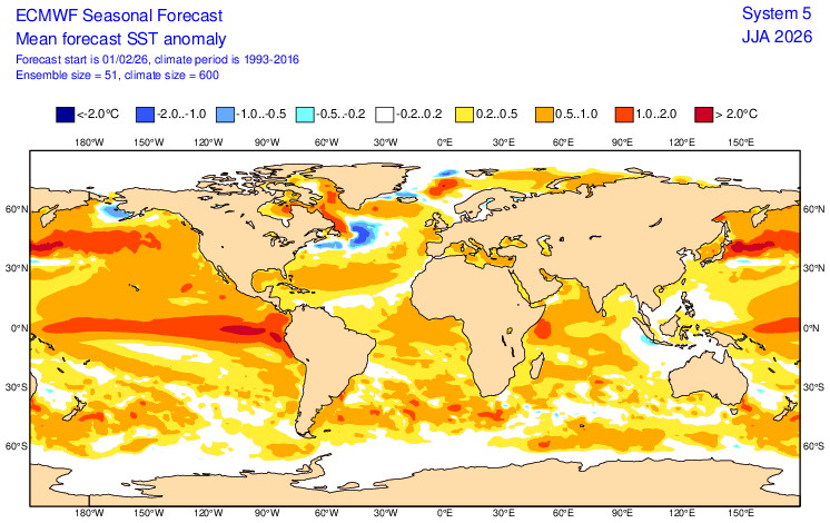
Euro indicating some leaning towards east based, but not obnoxiously so. However, that time frame is for June/July/August and things would likely evolve from that point on (either becoming more east based or migrating more towards a Modoki). Of course, the Euro could be completely off from this juncture.
-
Switching back and forth between rain and snow. Temperature up to 35 degrees. Just mopped the puddles off of the snowboard. Drip…drip
-
Regarding the above NAM snow maps (Mitch vs Ji), one is Kuchera and the other is 10:1
-
Only up to 7pm?? That’s basically what Euro has for my area for the entire storm.
-
9z SREFs jogged west (roughly 0.3 inches more of precipitation across the board). FWIW
-
The February 22-23 Late Season Miracle: JV Disco/Banter Thread
MDstorm replied to bncho's topic in Mid Atlantic
As we await the 0z model runs, here is a detention assignment for some of you.
-
The Jan 31 Potential: Stormtracker Failure or 'Tracker Trouncing
MDstorm replied to stormtracker's topic in Mid Atlantic
Seeing the models evolve over the last 24 hours has me haunted by the Boxing Day storm of 2010. I was a bit younger then and don’t remember all of the details, but I do remember a snow shield essentially bypassing MD west of the bay as it hit VA, swung east around MD and then swung back to hit areas to the northeast. Someone please tell me that this is not going to happen with this storm. -
6.8 inches here (Northwestern HoCo) before the sleet mixed in. Now, mostly sleet and 13 degrees. With a couple of inches of sleet to go, should get close to or top the 9 inch mark for total frozen.
-
First flakes in northwestern HoCo
-
From the weather weenie handbook: The op Euro has been known to over amp phased systems in the midrange.
-
4.5 inches in western HoCo. Winds picking up and snow flying off of the tree limbs. ❄️
-
I know the area well. I’m just south of the Carroll County line. Enjoy the snow!
-
SN+ here in Northwestern HoCo. Just hit the 2” mark. ⛄️
-
Charge your phone
-
Steady snow here for the last 2 hours. Radar not as generous just to my north. Living on the edge can be dangerous. Hoping to cash in here in Western HoCo with banding.
-
NAM is getting “bonkers”, too. May have to add “NAM” to your T-shirt, lol.
-
Look at the snow fall distribution. The Euro must really be feeling the effects from the developing 50/50 low/convergence. This "squashes" the snow fall from NE to SW. We will see over the next 12 -24 hours as the 50/50 low sets up if the perceived effect of the 50/50 low is being over-estimated allowing heavier snow to creep more northeast.