-
Posts
12,276 -
Joined
-
Last visited
Content Type
Profiles
Blogs
Forums
American Weather
Media Demo
Store
Gallery
Everything posted by The Iceman
-
Calling it at 21.8” as we taper to flurries. Not quite 2 feet @LowerBucksWx. Did you guys get there in lower makefield? My brother on river road said he had 21”.
-
Again that is a too Lehigh valley centric view. They do not consist of 3/4 the cwa. Everyone on the line below is going to verify easily.
-
Be careful shoveling above anything with snow… had a big chunk of snow/slush blow off the roof and nearly decapitate me…
-
I think somewhere in Monmouth or Burlington is going to be the true jackpot in our cwa. Freehold had 24.2” a few hours ago and they been under heavy echoes since then, someone in there is going to hit 30”. Manchester/Jackson area as well. They’ve gotten hit even harder than us in se bucks/ne Burlington.
-
Snow continues to redevelop over bucks county.. every time I think we are about done we get another little burst. 21.5”
-
lol hyperbolic to the extreme. If you believe 3/4 of the mt holly cwa underperformed there’s no arguing because that just isn’t reality.
-
I know you’re a little salty because you’re in the screw zone but let’s just say I disagree. There is a widespread area of 18-24” and 12-18”. This did not greatly underperform unless your expectations were out of whack.
-
That’s the nature of banding and coastal storms…some areas jack while others underperform. Overall this was well forecasted outside of the nw and sw edge.
-
I trust the NWS Mets at the office know how to take measurements over whoever the fuck Ginger Zee is.
-
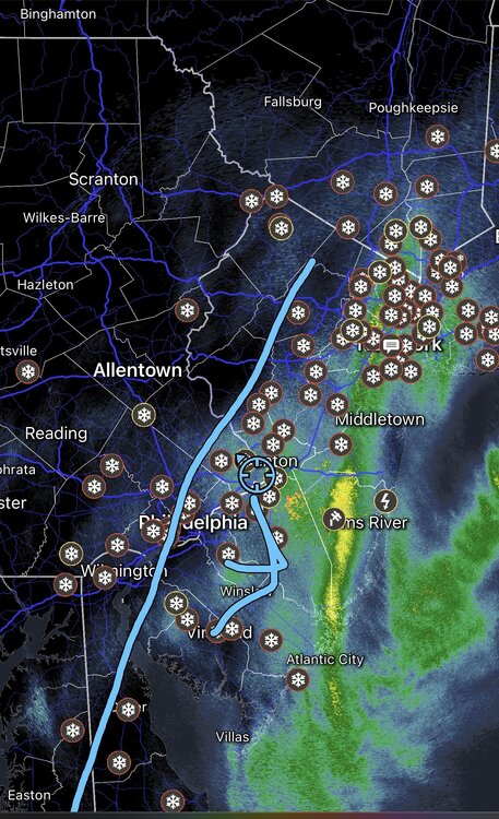
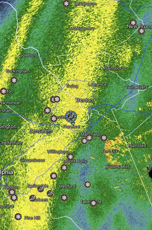
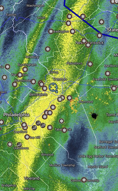
Not high at all, the deform band pivoted right in that area. Also lol at implying the NWS is measuring high…watch the radar loop
-
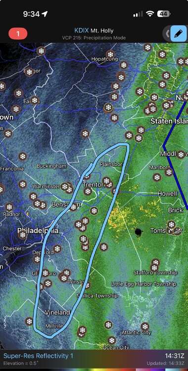
Everyone in this circle is 18-24” then it looks like a secondary maximum in freehold/monmouth area. It was actually pretty well modeled I would say.
-
21.3” 9 am
-

E PA/NJ/DE Winter 2025-26 Obs/Discussion
The Iceman replied to LVblizzard's topic in Philadelphia Region
I think technically 17-18 we had snow all 4 months but not above average for all 4. -
From 7 pm to 6 am we probably averaged 1.5” an hour with the largest single hour being 3”. That deformation band pivoted and rotted right over us.
-
Hahaha I’m 35 and that exact thought went through my head. Cleared everything around 11 pm last night and it looks like I didn’t even bother this morning. Definitely waiting for it to at least stop and the plow to come down again before I dig out. It’s funny I’ve always been so against snow blowers, but this may be the storm that breaks me and causes me to rethink that stance
-
21” at 8 am, what a storm!
-
18” @ 5 am
-
That’s @Birds~69 territory. Spotter reported 11” 2 hours ago in willow grove which is near by. I’d guess they have at least a foot
-
ACY gusting to 60 mph
-
I think 24” could be in reach as well, 20” almost certainly though at this point.
-
Just got in from the board. 6.5” since 11 pm 15” total
-
This is why we track, just unfreaking real. All-time winter conditions right now. Not sure the wind meet the blizzard criteria but visibility is there. Closest to blizzard conditions that I can remember.
-
Complete whiteout at the moment, unbelievable conditions.
-


