

burgertime
-
Posts
11,230 -
Joined
-
Last visited
Content Type
Profiles
Blogs
Forums
American Weather
Media Demo
Store
Gallery
Everything posted by burgertime
-
Thats extremely close to March 2009. Except we have colder air to work with.
-
I'm still stuck at 99. For some reason SV maps always have these big delays on the CMC and UK Met.
-
That looks pretty damn good. All eyes on the Euro now.
-
CMC looks really interesting to me. It also looks like it's doing a better job of seeing how that LP is sucking in the cold air to the north. Only out to 99 on my maps but has potential for sure.
-
Hot off the presses
-
ahaha we've been burned by it. But you made a very good point. If we lock in that HP then the NW trend probably won't be a concern.
-
CMC has a 1036 high anchored in the right spot if it can stick. Like @ILMRoss said if thats around that should have a bigger impact.
-
Yea I'm only out to 87 but it looks like it's probably gonna track that direction. It's closed off before the GFS though which could make things interesting.
-
I for the life of me still can't understand when and where the perfect negative tilt is.
-
CMC is quicker with the energy out to 78.
-
Yea it's certainly done that in the past. It seemed a little strange to me how that low tracked but I guess it's also plausible due to it being slower. Euro should tell the tale today. If it keeps things suppressed then folks in RDU can breath a sigh of relief. Also we're still 4 days out.
-
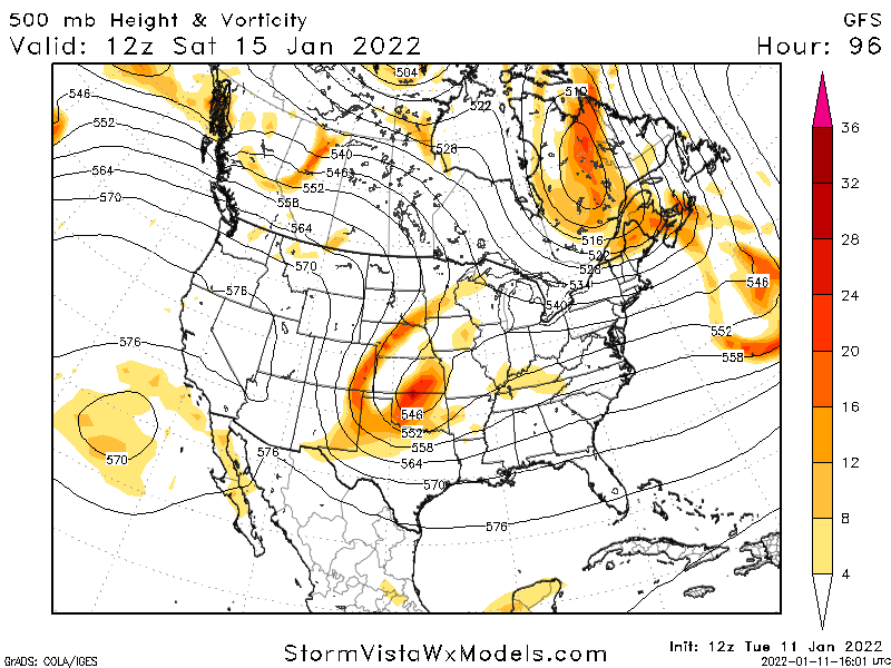
This is a stout ULL. Sort of reminds me of March 2009(???). From March 2009
-
Precip type per GFS
-
IF the GFS is right then that ULL will help drive out that warm nose for those on the edge of this. Want to see what the Euro does cause the NW trend will happen so we need suppression on our side now.
-
Look with caution those of you in ENC
-
This run it's a WNC special. Low tracks across RDU...but it's a strong ULL so if that is verbatim it's probably creating a ton of cold air with it.
-
@117 it's a two contour closed low so it's a monster. But more warm air with this run. Check out hr 123. Still think this probably overcomes the warm air for most.
-
It's def not as suppressed due to our northern energy retreating a bit.
-
It's still gonna get the job done for NC but lots of warm air south of it. Low is still closed but it's got a positive tilt at 114
-
Closed off @102. This really isn't far off from the 00z run.
-
Still looks like a blockbuster. Slower and slightly more of positive tilt vs. 00z. to my eye.
-
@81 the GFS looks a bit slower. Closer to the Euro, but it still has two strong parcels of energy starting to interact in the west. Our energy in the NE is further west which is gonna suppress this a little more than the 00z if I had to guess.
-
Early guess on the 12z GFS is that it and the Euro are starting to come to an agreement and meeting in the middle. Out to 72 and some slight changes between it and the 00z run last night. It still looks really good though. So get the popcorn ready.
-
Yea it was essentially the German NAM. It was then updated to cover more areas here. It does really well here especially at around 90 hours or so. But I've seen it bust pretty hard here as well.
-
Here's a gif of what to look for. Red is the "highway". Purple is the energy in the NE. The arrow is pointing to the phase that juices the system.


