backedgeapproaching
-
Posts
3,818 -
Joined
-
Last visited
Content Type
Profiles
Blogs
Forums
American Weather
Media Demo
Store
Gallery
Everything posted by backedgeapproaching
-
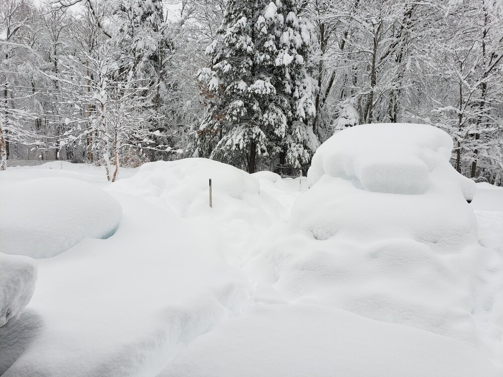
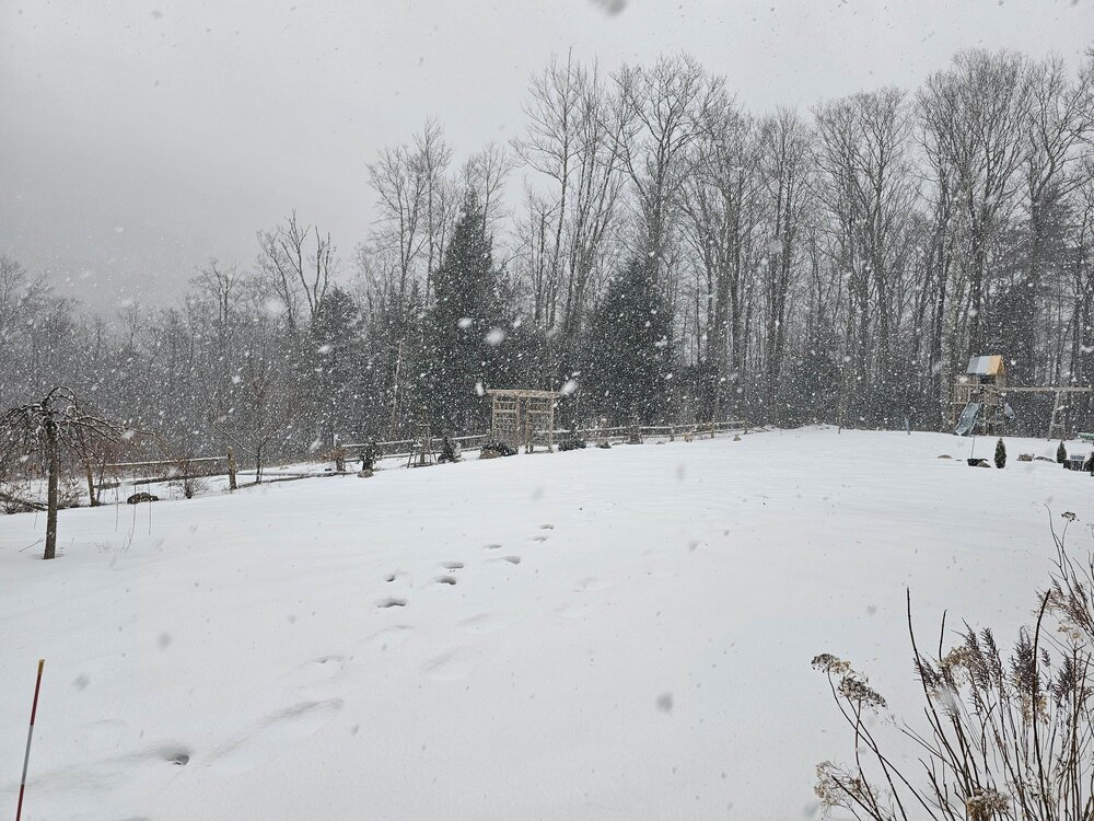
Surprise 4" fell here overnight.
-
1 year ago to the day pretty good too..
-
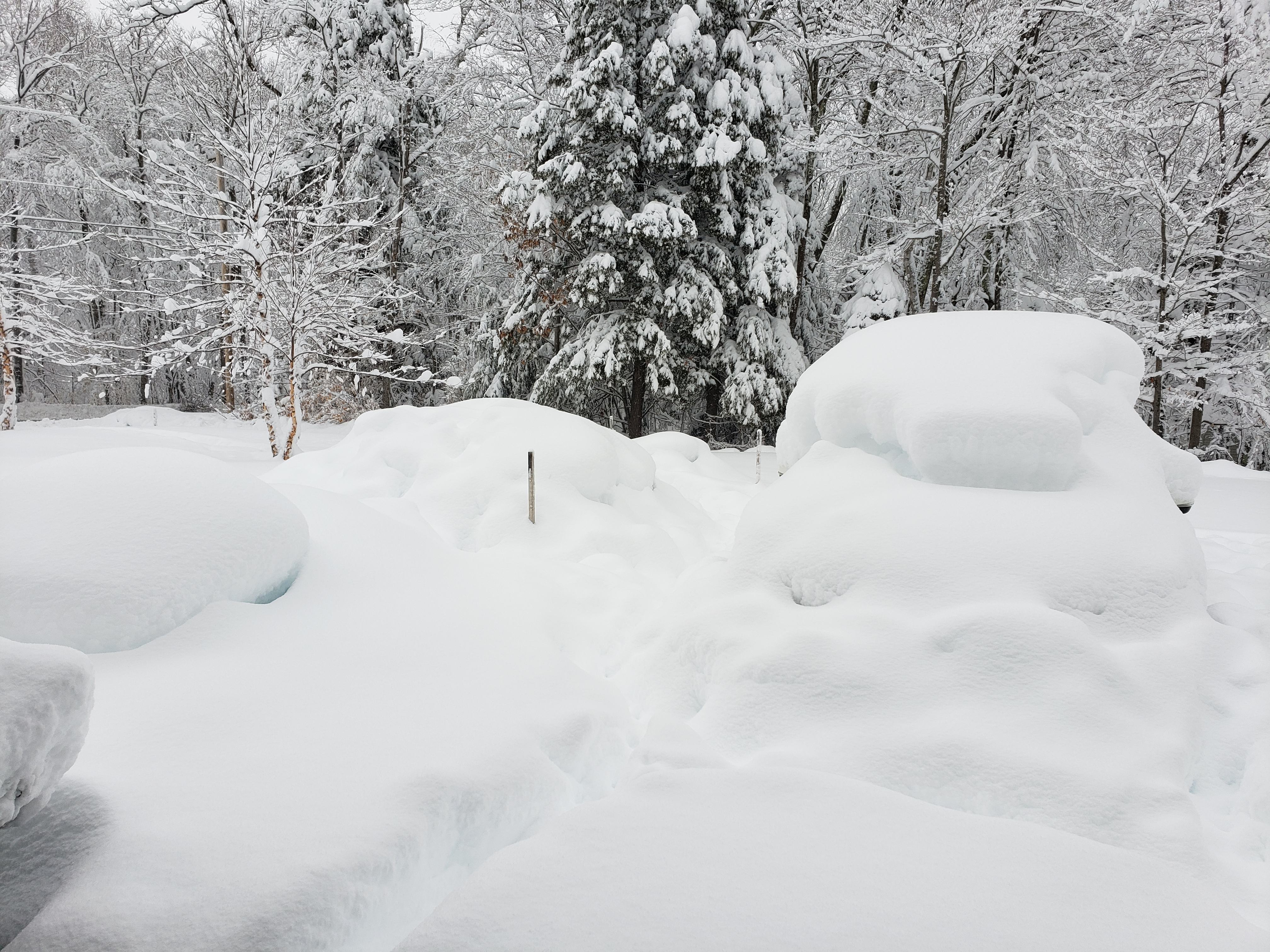
5.5" with 1.22" liquid equivalent. Solid 4.5-1 ratio..ha
-
Everything getting pretty caked here now, been hovering around 32 most of the time. Definitely overperforming for the valley up to your north here- 3.8" and mod to heavy at 1100'.
-
Accidents all over SVT right now, seeing a ton of social media posts.
-
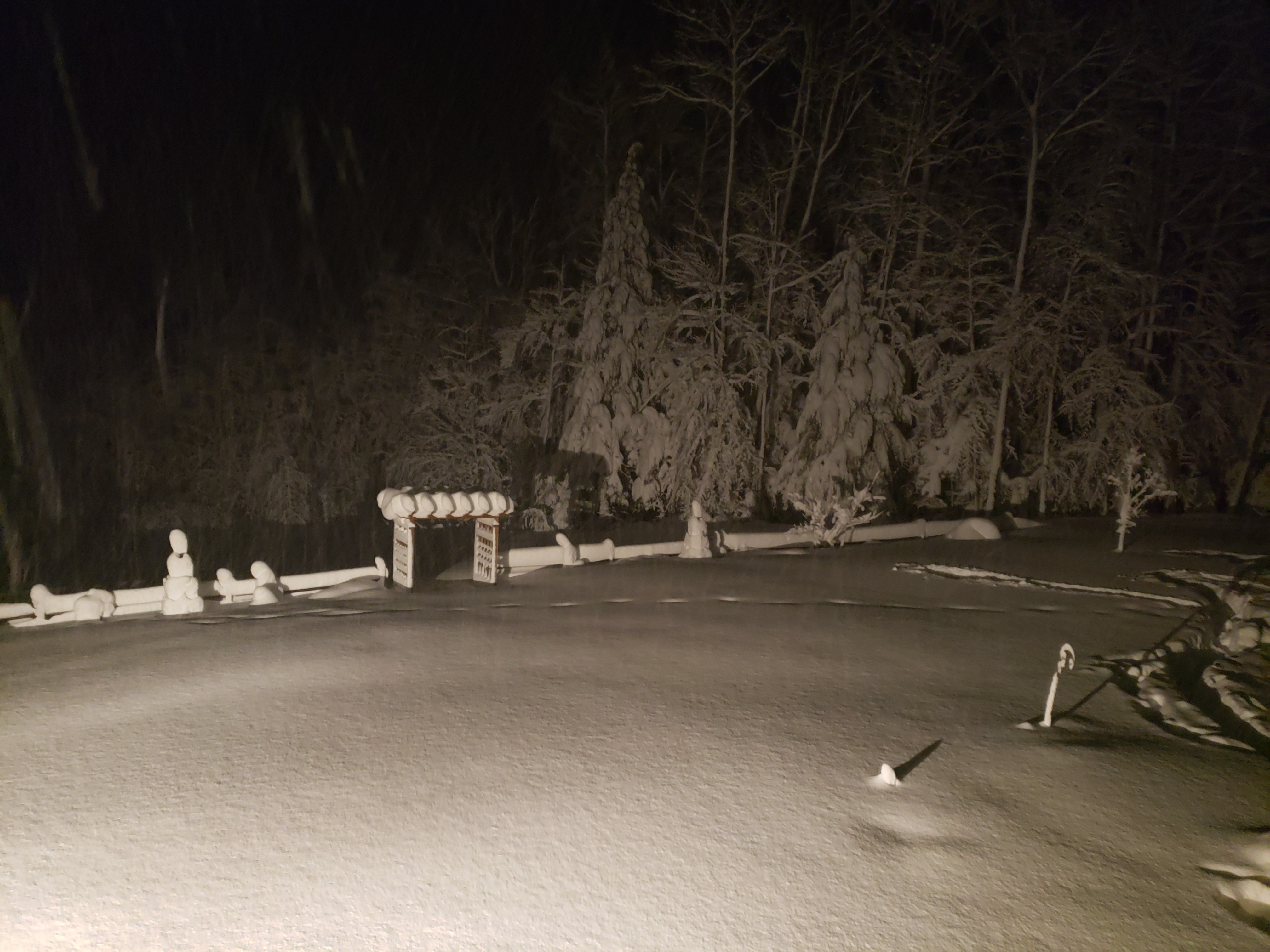
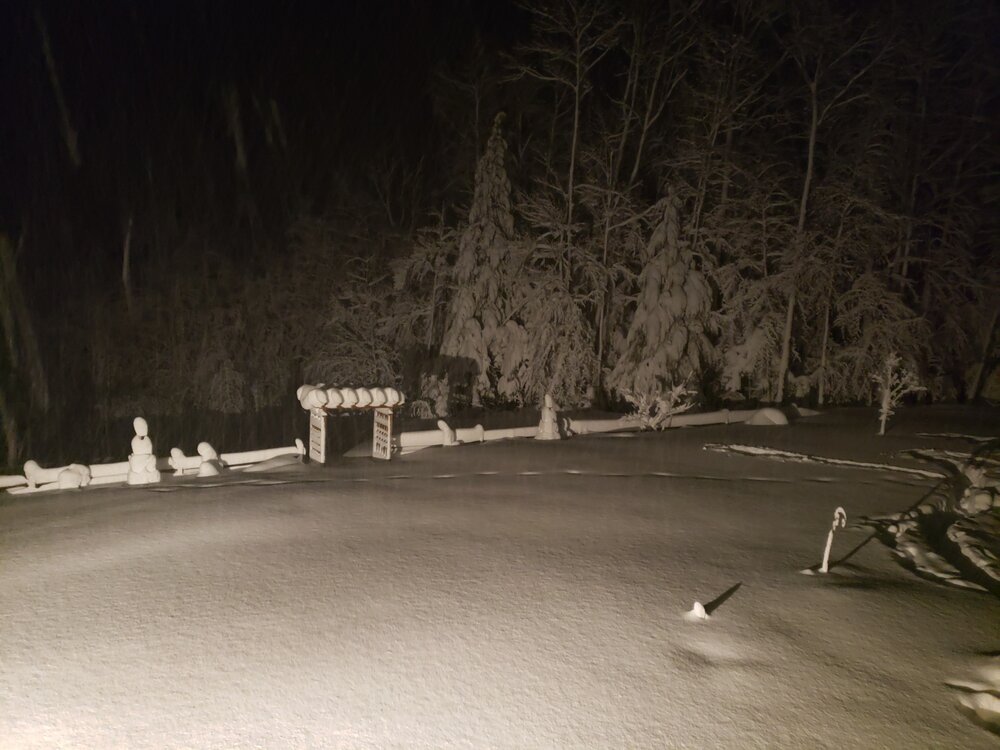
1.4" very very low ratio, but some meatballs falling for now. Would assume more up high so far. My cam doesn't pick up night snow very well, anytime I can make out flakes I know they are pretty big..lol. #caughtonNestCam. https://video.nest.com/clip/9c7ef73758fe4d06ae1205c77e47ea35.mp4
-

14th Lawn and Garden Thread P Allen Smith 2024
backedgeapproaching replied to Damage In Tolland's topic in New England
Moss grows based on environmental conditions--usually shade, moisture and soil make up. Unless you change a couple of those, it will most likely come back. Raking and products can solve the problem short term, but long term will be fighting the moss battle without changing the reasons for it forming in the first place. -
It was a Flop... February 2024 Disco. Thread
backedgeapproaching replied to Prismshine Productions's topic in New England
He's got like 14" OTG, but your point stands, it's been a rat in the Berks up towards extreme SVT. Mitch has the same total as me right now on the season, which is pretty crazy and I'm sure is a pretty low return rate of that happening in any given year. -
3.5" the other night and looks like a couple more this morning.
-
This weekend is up there was Columbus Day weekend...total zoo on the mtns and in town. It's a pain, but in all honesty it's what keeps these tourists towns going.
-
It was a Flop... February 2024 Disco. Thread
backedgeapproaching replied to Prismshine Productions's topic in New England
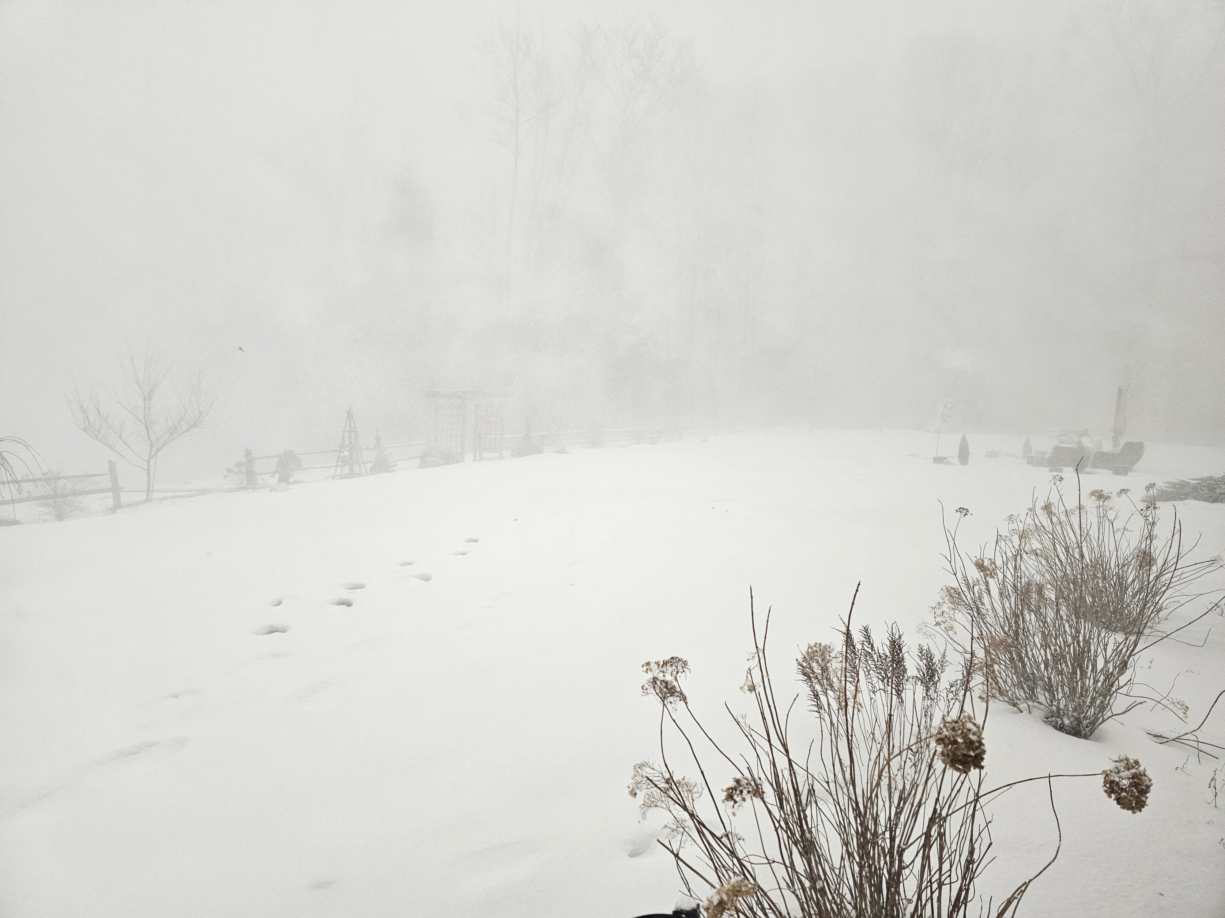
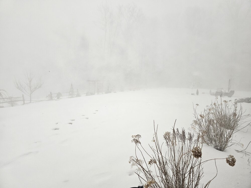
Snowing really hard. 1.4" in 30 minutes from initial band. Back to moderate now. -
Only posters I know of in SVT are myself and @wxmanmitch above 2K (near Woodford) who post with any modicum of frequency(Mitch mostly on twitter). Some members have second homes, condos, etc-- but not many that live here full time that post very often. Unless I am forgetting someone? Our new friend in Brattleboro too..
-
Certainly no "damage". Zero outages in SVT via Green Mountain Power. Temps were 30-32 though in the elevated East Slopes most of the night, so prob a decent glaze in spots I would assume.
-
Only a few spots in NE that hasn't had a 12" storm recently. Would be interesting to see a 24" map...
-
We were stuck in no man's land in SVT between the PF and crew band and the SE stuff most of the day. Pretty pedestrian rates and meh snow growth for big part of the day. Made up some ground with some 20-30:1 fluff this evening finished at 5.5"
-
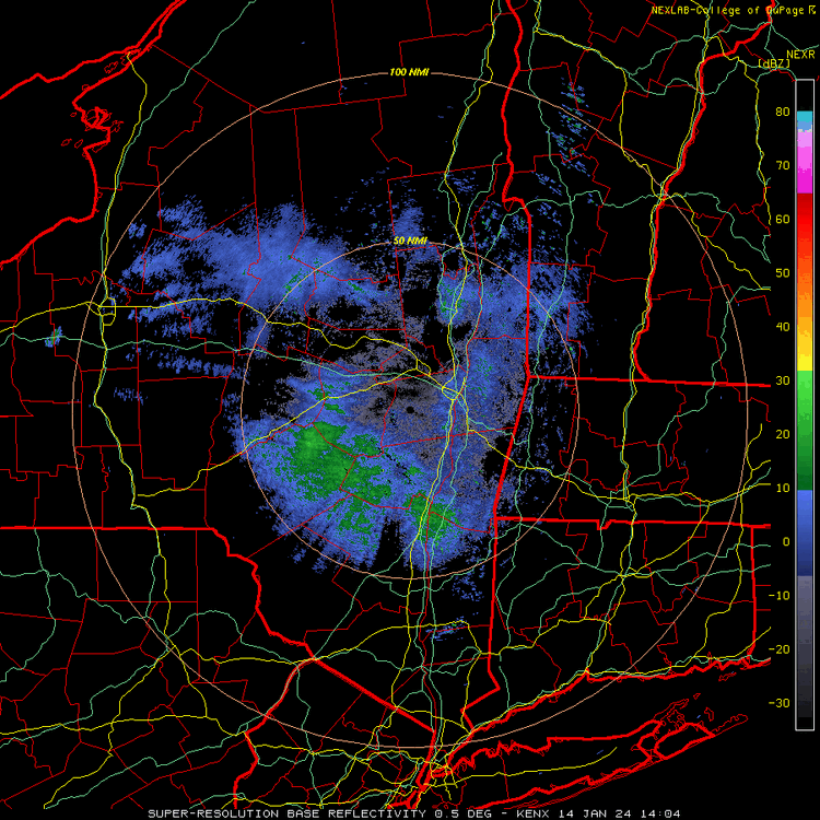
BTV mentioned 15 or 20:1 ratios. Light winds so no fractured dendrites and good lift through the DGZ for a time. Kuchie could verify if there are multiple hours of good snow growth.
-
That might be one of the most balanced state wide corner to corner snow maps I have seen.
-
This was close to S+ before the line hit around 30 mins ago. During squall line
-
S+ with the stuff ahead of the main line. Should be pretty wild when that stuff moves in over next hour.
-
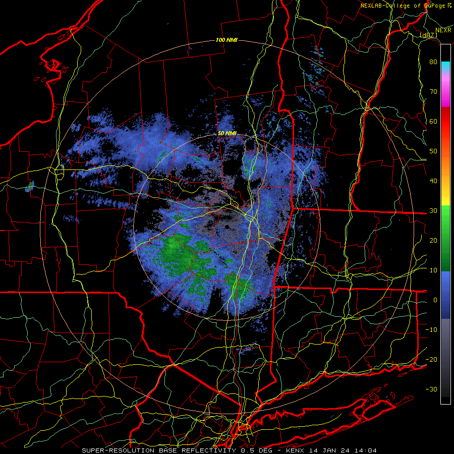
Yep, getting juicy out in CNY racing east.
-
Nothing was more epic than that squall that hit KLW's area down through you a few years ago. Wasn't that like an 8" squall? Guess that wasn't a squall line per se either.
-
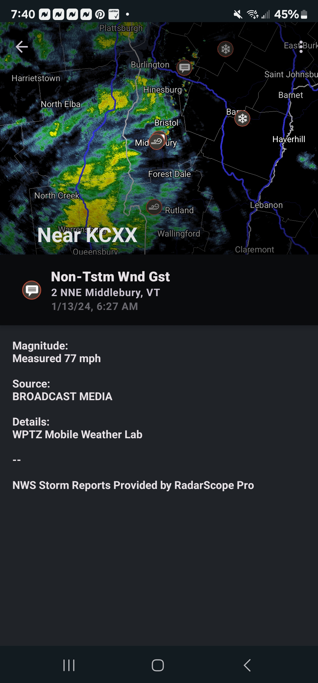
1/13/24 Sultan Slicer #2 - Heavy rain, snow, wind?
backedgeapproaching replied to Torch Tiger's topic in New England
77mph near Middlebury..thats pretty solid.
-
1/13/24 Sultan Slicer #2 - Heavy rain, snow, wind?
backedgeapproaching replied to Torch Tiger's topic in New England
Yea, the radar was really ragged overnight. Picked up just about 2" and gusted to 52mph. Cant imagine even the elavtions in SVT had more than 3-5 based on the radar. -
That is probbaly what your used to. But March has had the highest average snowfall the past 10 years at my spot. Im in SVT too. Even in Brattleboro winter isn't over in FEB normally.
-
1/13/24 Sultan Slicer #2 - Heavy rain, snow, wind?
backedgeapproaching replied to Torch Tiger's topic in New England
It's also a little warmer this time around it seems. So places that were marginal last event will see less because of that and less QPF. As always, good to be In and Up. Last event here was 6.8", definitely taking the under on that for tonight.