backedgeapproaching
-
Posts
3,818 -
Joined
-
Last visited
Content Type
Profiles
Blogs
Forums
American Weather
Media Demo
Store
Gallery
Everything posted by backedgeapproaching
-

Last Hurrah Obs Thread: 3/13-15/23
backedgeapproaching replied to WxWatcher007's topic in New England
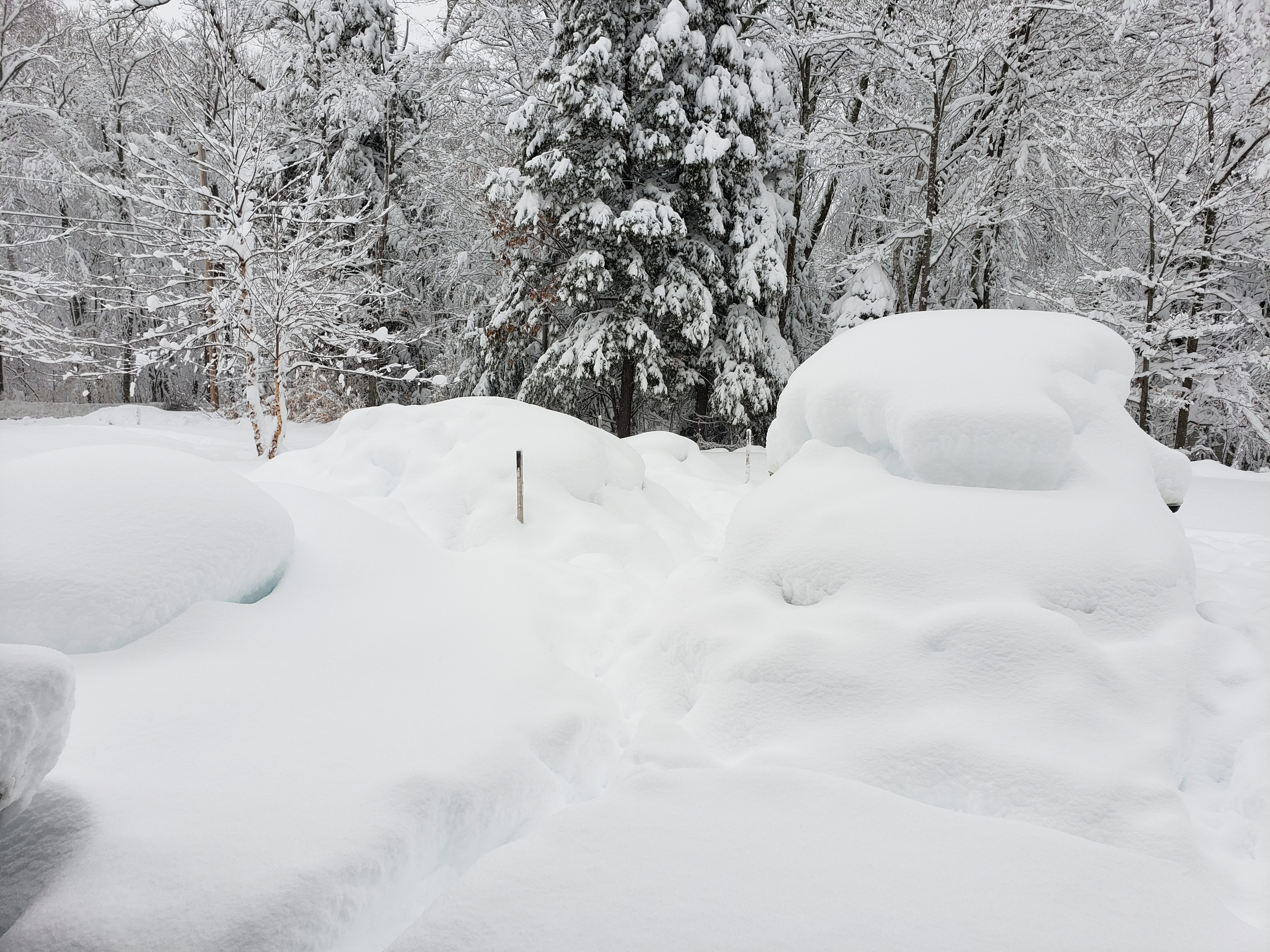
31.8" on 2.27" liquid Cocorhas guy up the road from me officially came in with 40.0" at 1800ft. My plow guy is ignoring all my texts which is pissing me off...lol.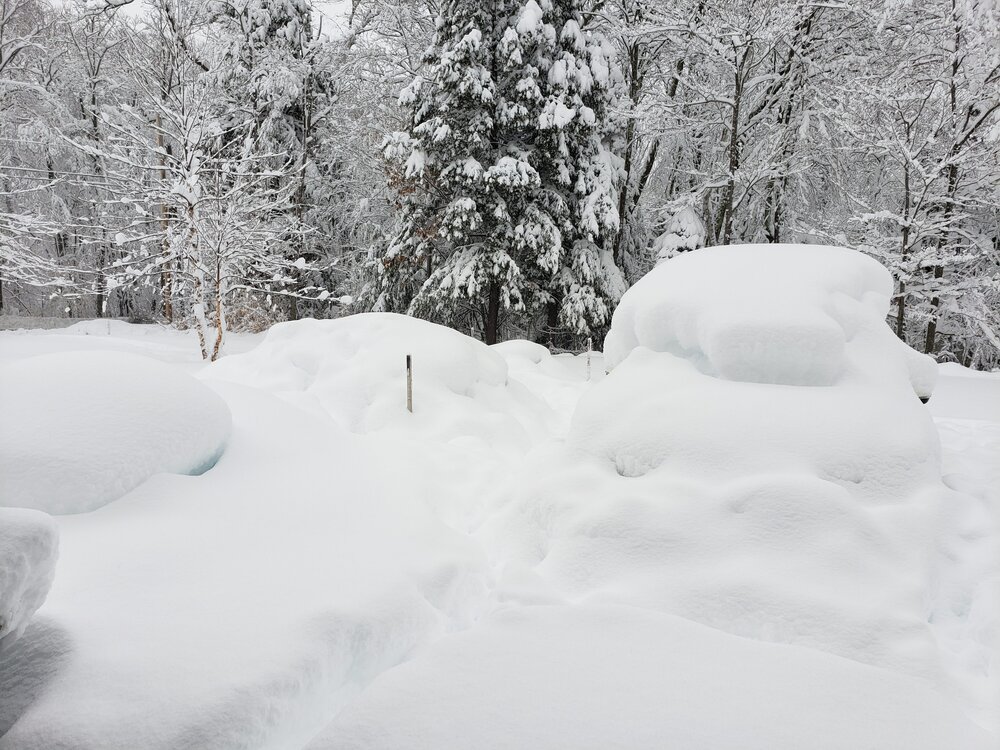
-
Last Hurrah Obs Thread: 3/13-15/23
backedgeapproaching replied to WxWatcher007's topic in New England
Had 7.8" with .46LE at 7pm. 28.0" total on 2.27" LE total. 34-36" OTG, most I have had personally OTG I think ever. Prob close to 30" total now I would think with good flakes still. Def one of my favorite storms, paster makes it bit more unusual for here.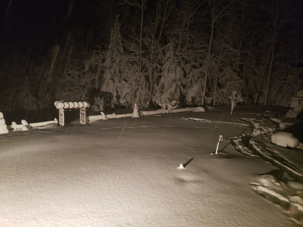
-
Last Hurrah Obs Thread: 3/13-15/23
backedgeapproaching replied to WxWatcher007's topic in New England
The Woodford lady stopped this year reporting. Im pretty sure she is 90-95 yrs old, so those obs are gone.... -
Last Hurrah Obs Thread: 3/13-15/23
backedgeapproaching replied to WxWatcher007's topic in New England
Lol, I know. I was talking more about getting the official record in the books. Obviously that needs to be done a certain way I guess. -
Last Hurrah Obs Thread: 3/13-15/23
backedgeapproaching replied to WxWatcher007's topic in New England
Yea, 40" is legit I think. I guess we will see if anything can't pass the ALY sniff test...lol -
Last Hurrah Obs Thread: 3/13-15/23
backedgeapproaching replied to WxWatcher007's topic in New England
Yea, I think "official" is 42 in 24. Supposedly either Peru or Landrgrove VT reported 44" in 2020, but like I mentioned ALY said no. -
Last Hurrah Obs Thread: 3/13-15/23
backedgeapproaching replied to WxWatcher007's topic in New England
Dec 2020 supposedly broke the 24hr I think right near here, but ALY tossed it, can't remember why. Prob not following what you said above. -
Last Hurrah Obs Thread: 3/13-15/23
backedgeapproaching replied to WxWatcher007's topic in New England
Its 42 for 24 hours. -
Last Hurrah Obs Thread: 3/13-15/23
backedgeapproaching replied to WxWatcher007's topic in New England
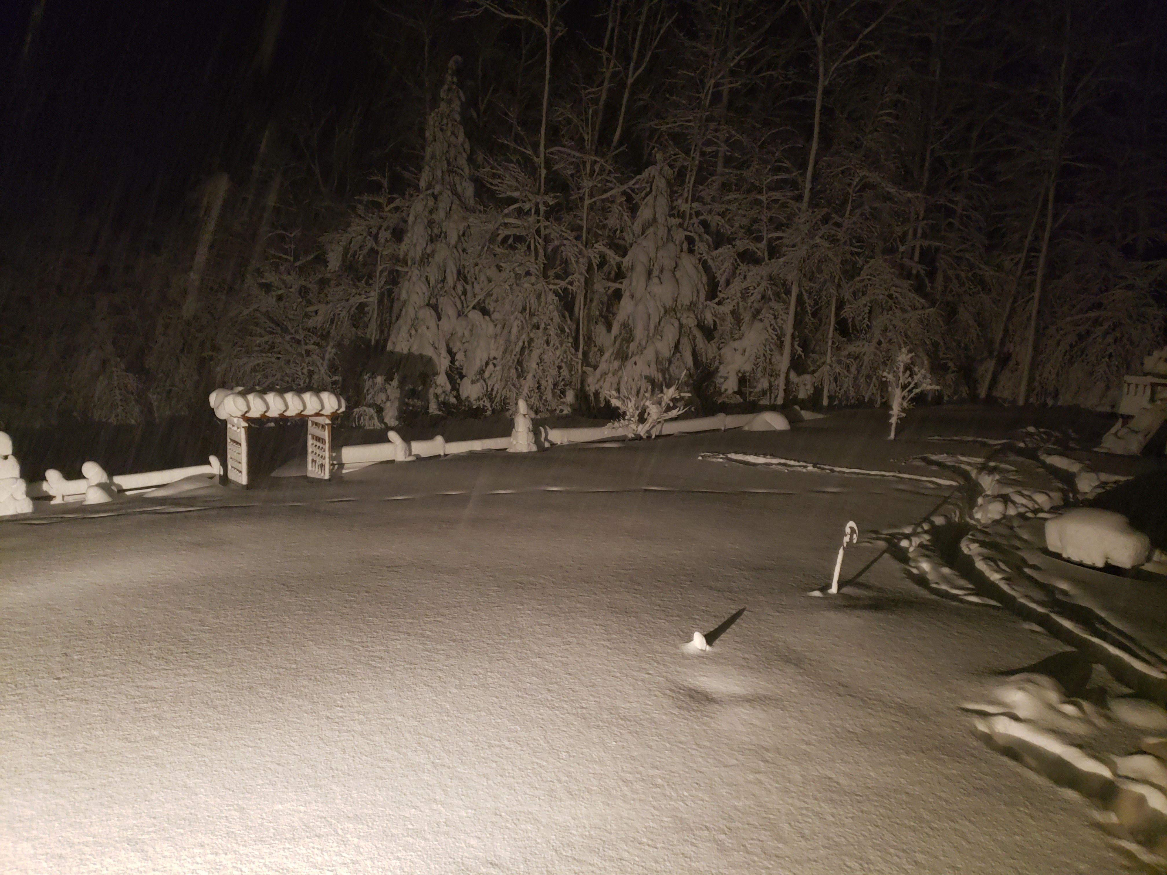
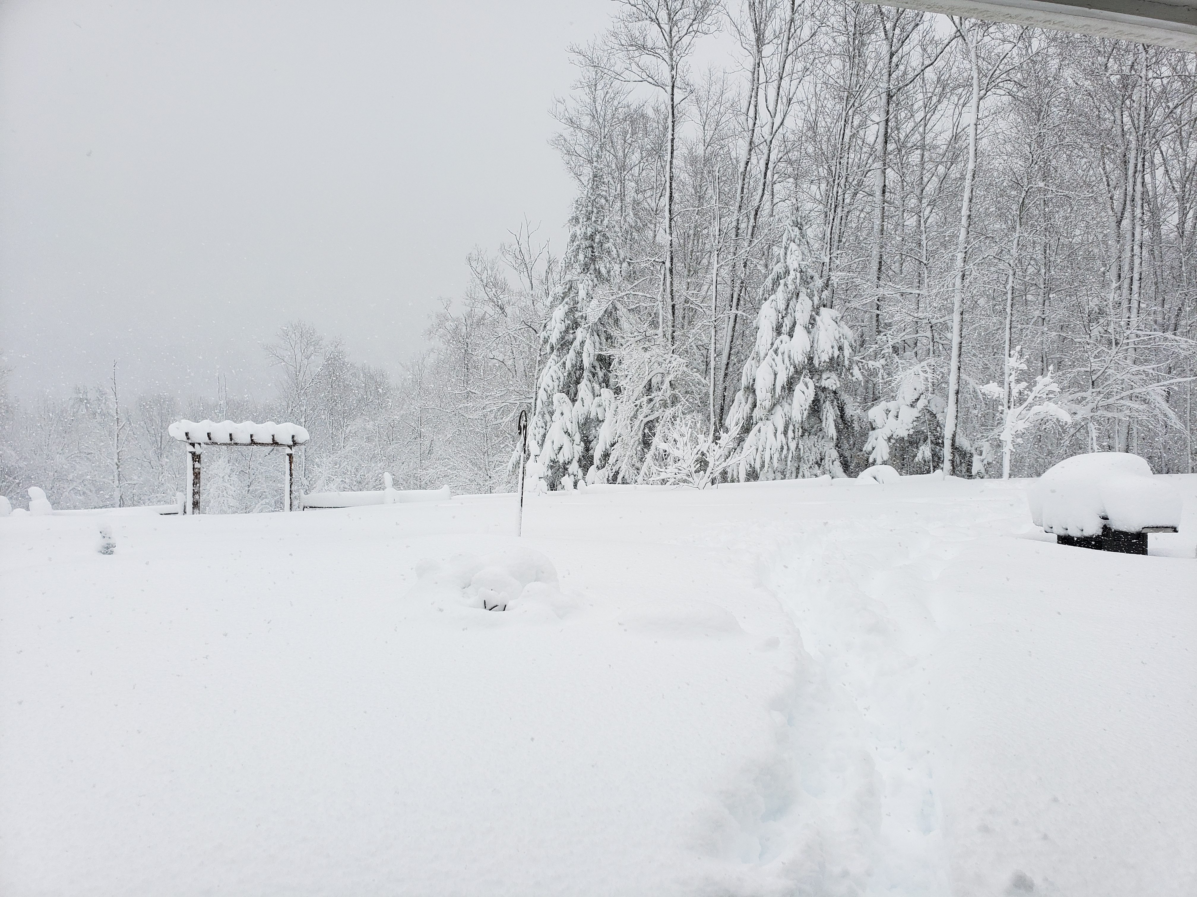
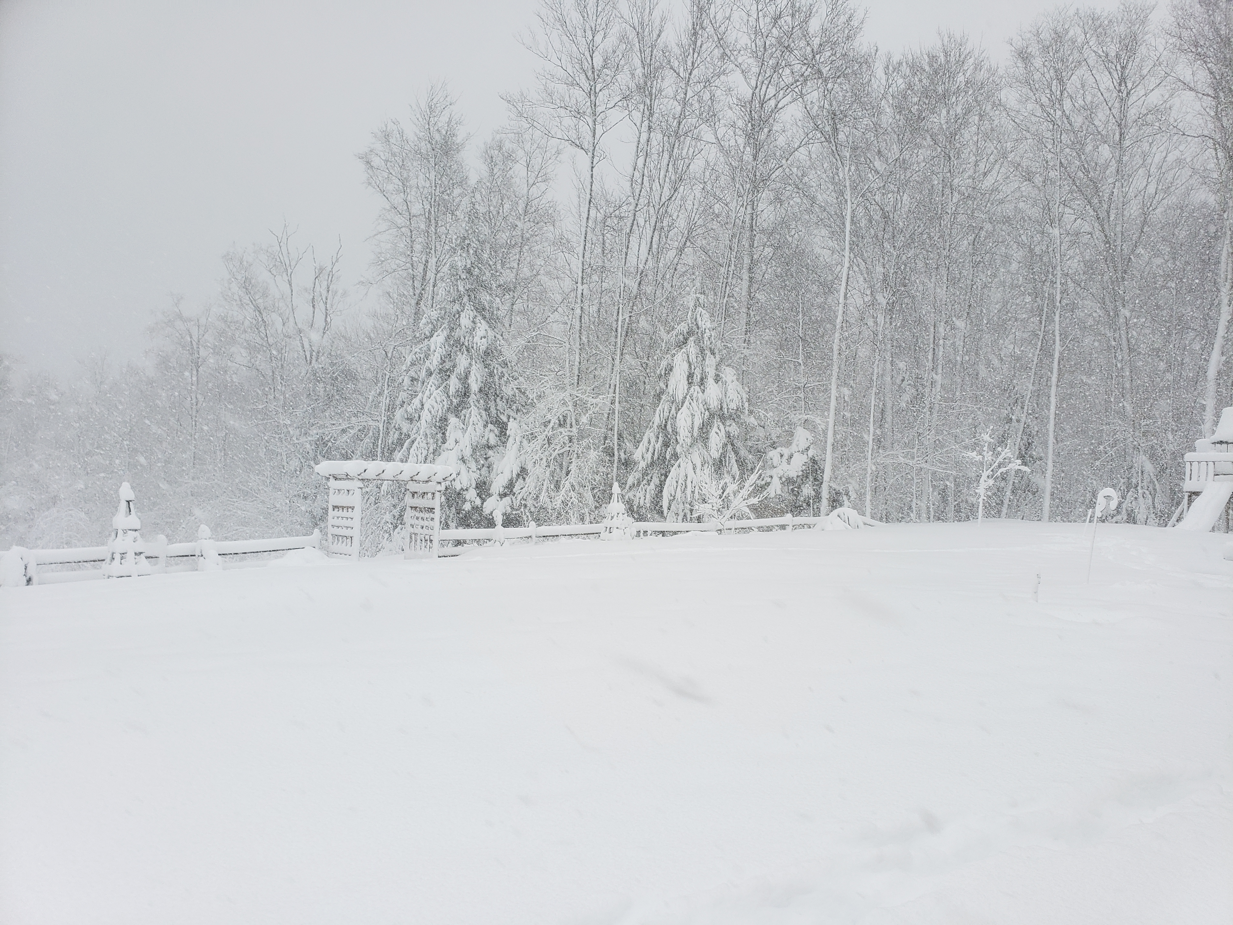
9.7" on .74" LE at 1pm measure. 20.2" so far. Still pounding. Power off and on 5 times at least. Anything over 20" goes into all timer status in this valley. Getting deep for the lowlands.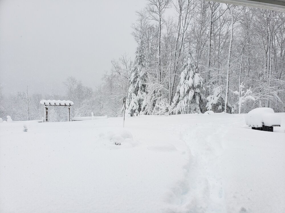
-
Last Hurrah Obs Thread: 3/13-15/23
backedgeapproaching replied to WxWatcher007's topic in New England
Prob sucking some subsidence exhaust too from that massive deform band to your west -
Last Hurrah Obs Thread: 3/13-15/23
backedgeapproaching replied to WxWatcher007's topic in New England
Definitely nuking. 5" from 730 to 930 Slowed down now from the 2+hr rates. -
Last Hurrah Obs Thread: 3/13-15/23
backedgeapproaching replied to WxWatcher007's topic in New England
Ok, gotcha. Didn't realize your were including this one on those numbers, then defintley over 50 since early Feb, agree. -
Last Hurrah Obs Thread: 3/13-15/23
backedgeapproaching replied to WxWatcher007's topic in New England
Prob not 70" in the last month, only a couple reports even near 50" since Feb 1 in the entire state of VT on Cocorahs. Obviously retention is great there and is it has been a decently snowy stretch. -
Last Hurrah Obs Thread: 3/13-15/23
backedgeapproaching replied to WxWatcher007's topic in New England
Looks like a mini Alps village..lol -
Last Hurrah Obs Thread: 3/13-15/23
backedgeapproaching replied to WxWatcher007's topic in New England
10.5" with 1.07" LE at 7AM. Prob 2"hr since 7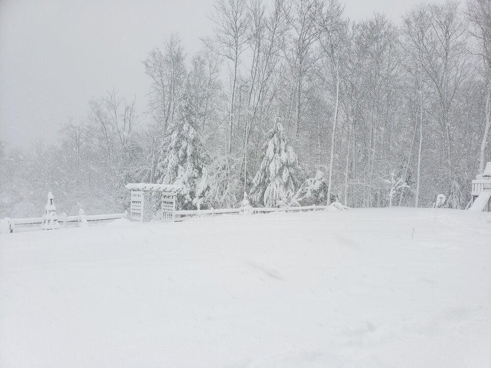
-
Last Hurrah Obs Thread: 3/13-15/23
backedgeapproaching replied to WxWatcher007's topic in New England
I believe it, that whole town's power is out. That is a perfect spot for this setup. Lost power here too about an hour ago, sucks. I lost 3-4 hours of white rain and still have 8-10" eyeballing. Absurd cakeage out there. -
I need to double check, but I'm even mid 80's here The COOP near Bromley is over 100" and the other Cocorahs guy past Bromley is near 120". Mitch at 100 makes sense for sure. You miss alot of tiny events that add up not being here full time, which i dont think you are? Anyway, looks good as of now for the Mt Snow up to Stratton corridor.
-
That was an outrageous deform band in WMA, WCT and SVT. I think that was the event Mitch reported 18" in 3 hours.
-
Doing some sun and fun for 10 days, so missed a bunch of these recent events and upcoming ones too. This is just lol...looks an endless parade of storms for the next couple weeks too there...ha
-
Lol, I know. Basically I think they collaborate and just cut and paste for the ALY zones from ALY maps when they put out for BTV covered area. ALY map looks just like that for SVT, go I am hedging against ALY--hope I am wrong, just seen this mid level warmth song and dance too many times I feel like.
-
I don't see 8.2" happening down here unless there is a last minute press, seems to be another SVT slop fest.
-
Yea, no worries, wasn't sure where you were located and clicked on your profile and then saw you were near the Tug which makes sense with that amount.
-
Oh, had to google where the heck Copenhagen NY was...lol
-
Where in NNE has had 155"?
-
The event of the season - 2 days of hell!
backedgeapproaching replied to Go Kart Mozart's topic in New England
Well, that pic was like 630ish AM in my family room before anyone was up. Keep it 60-62 over night. Have 4 zones in house and a jotul stove, no problem heating up areas when I need to.