backedgeapproaching
-
Posts
3,818 -
Joined
-
Last visited
Content Type
Profiles
Blogs
Forums
American Weather
Media Demo
Store
Gallery
Everything posted by backedgeapproaching
-
They have been around here in SVT for a few months..I want to say it was around $30 for a 4 pack at the place in town here.
-
Nice little drink...
-
60.8F with mod rain. Mitch and ineedsnow would be in summer heaven..lol Actually don't mind these type of days thrown in once in a while, especially with the dew fest this summer has been.
-

14th Lawn and Garden Thread P Allen Smith 2024
backedgeapproaching replied to Damage In Tolland's topic in New England
Fungus Identification can be really tricky. Could be brown patch, could be dollar spot, summer patch,pythium blight and others. Look to see if there are lesions on the leaf blades and what they look like. These fungus also effect different grass types. Brown patch only affects tall fescue really. I'm not sure if Kevin has Tall Fescue, he might have kentucky blue grass? Hard to tell from those pics, maybe it's a mix of grasses. I was going to say the same as SJones, doesn't look too bad and just monitor it. If it spreads like crazy then maybe think about an action step. -
14th Lawn and Garden Thread P Allen Smith 2024
backedgeapproaching replied to Damage In Tolland's topic in New England
Yea, for spot treating those normally work pretty well. In my experience you also want to treat when the plant is smaller and younger, more mature plants are harder to kill. -
14th Lawn and Garden Thread P Allen Smith 2024
backedgeapproaching replied to Damage In Tolland's topic in New England
If the Crabgrass infestation is really bad..say like Runnaway at 50% over 1.5 acres, probably going to take a couple years of pre-emergent use put down correctly and timed correctly to stop future Crabgrass. There are literally millions of seeds in the soil capable of sprouting. -
July 2024 Observations and Discussion
backedgeapproaching replied to HoarfrostHubb's topic in New England
Just warned..lol. Almost nothing here..less than a tenth. Been kind of steiny here all summer, lots of watering and lawn going in and out of browning. -
14th Lawn and Garden Thread P Allen Smith 2024
backedgeapproaching replied to Damage In Tolland's topic in New England
There are a few different pre emergent options and they have different time periods that they cover based on rate of application. Some only cover as little as 30 days-ish. Some can cover 90-120. Depending on what you applied and when, you could have lost all coverage to stop crabgrass from coming up (if applied early spring) Sometimes you need to do a split application and apply again mid summer. Don't shoot the messenger about chemicals..lol. Just giving info. Also, the thicker you can get your grass also reduces weeds that will germinate. I don't use pre emergent, but do get some crabgrass pop up in spots and some other random stuff. -
14th Lawn and Garden Thread P Allen Smith 2024
backedgeapproaching replied to Damage In Tolland's topic in New England
2 days ago I was outside and my cat chased 2 Fishers into the woods, saw it first hand. I wonder how aggressive they really are towards house cats? Interesting article below. Coyotes, yea that is a different story for sure. https://archive.nytimes.com/scientistatwork.blogs.nytimes.com/2011/04/06/do-fishers-really-eat-cats/ -
14th Lawn and Garden Thread P Allen Smith 2024
backedgeapproaching replied to Damage In Tolland's topic in New England
One of these work as well... -
14th Lawn and Garden Thread P Allen Smith 2024
backedgeapproaching replied to Damage In Tolland's topic in New England
I did the same, letting it get little long to shade the soil, although it's been dry here so it has not been growing like it normally does. Defintley some drought stress showing yesterday. -
Cars have that mid winter caked salt look from the dust and pollen around here. I have had about 1" of rain since May 1st, heavy watering of veggies and gardens
-
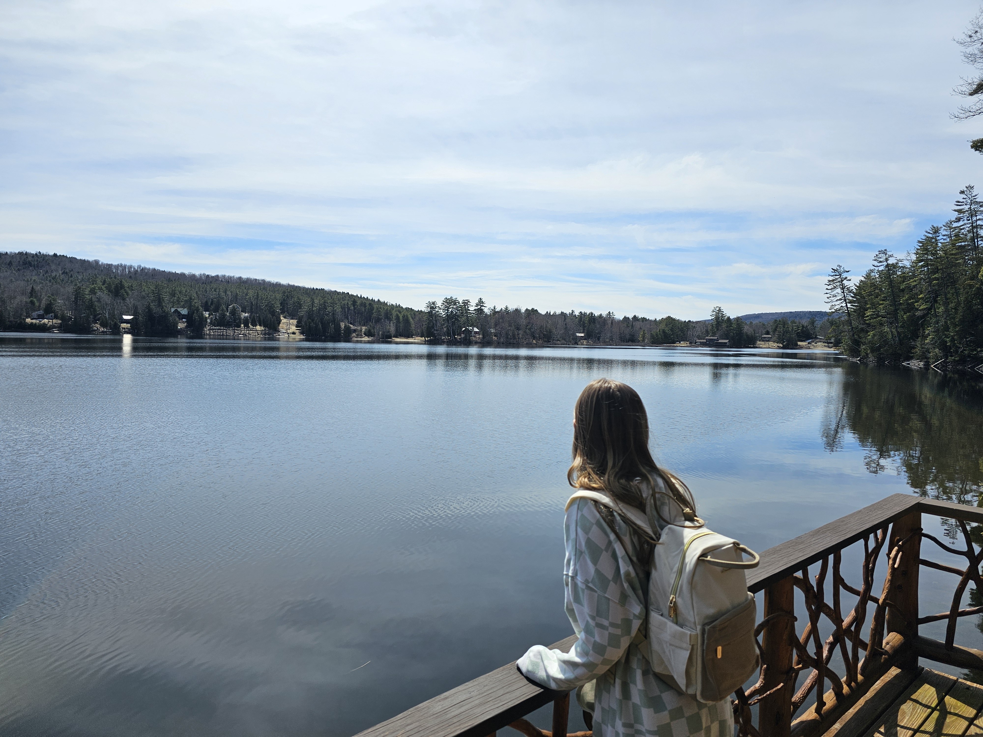
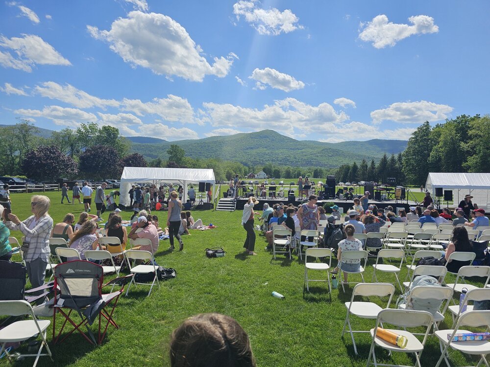
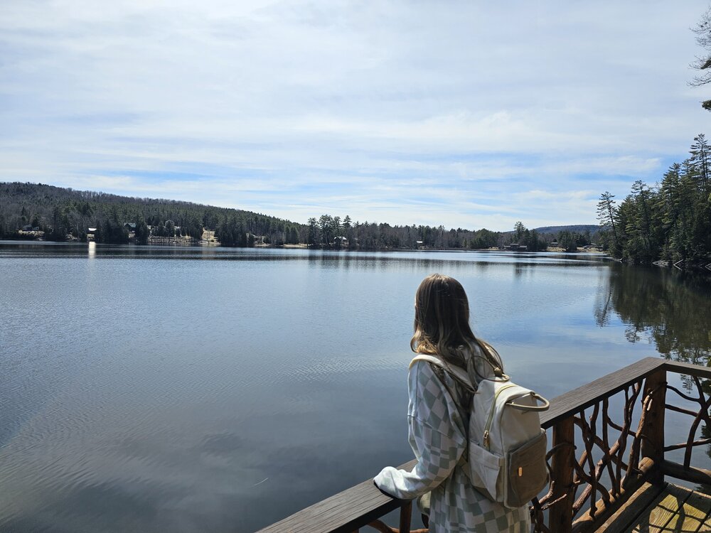
Just how the chamber draws it up for my daughter's outdoor school concert.
-
May 2024 Discussion - Welcome to Severe Season!!!!
backedgeapproaching replied to weatherwiz's topic in New England
I don't think there is any repellent of any kind that works on them. Maybe @tamarack knows some old school concoction.. -
Leaf out exploding in the SVT banana belt. Low 70s today and mostly sunny. Perfect May day.
-
Decent cirrus in the Adirondaks right now, sun still coming through, so hope it holds like this!
-
Phin got banned..maybe 2 years ago at this point?
-
Significant Miller B Nor'easter Apr 3rd-4th OBS
backedgeapproaching replied to wxeyeNH's topic in New England
I do remember him posting about some streamer/upslope type scraps like you mentioned a number of times. It's obviously not prime upslope country, but good enough to get some leftovers? Certainly closer to the source region of orographic type snows than Gene would be. But, I am just spit balling and he would obviously know more than me...ha. -
New England 2024 Warm Season Banter
backedgeapproaching replied to HoarfrostHubb's topic in New England
My property tax already almost doubled last year. They reassessed all of Manchester in 2023, they went through the roof. -
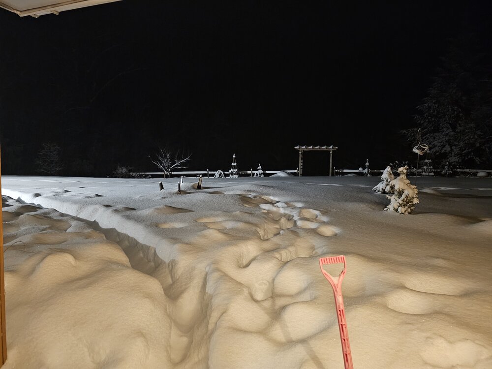
6" new in about 2 hours under the last band that hung overhead. Even with a good amount of IP, still up to 19.1" for the event. LOT of liquid in this. Could have been an all timer without that mid level warmth push. Still really impressive.
-
This guy is in a little trouble I would say..down by Mitch in Searsburg VT..lot of ZR I'm sure contributed.
-
That's been well modeled for a few days, the mix line always looked to come in quick to his area. My area was more uncertain, but held off long enough to stay snow or mostly snow for now.
-
11.1" Total mixed bag though now as windows are getting pelted. Prob 50/50 SN/IP.
-
Been so many events with razor thin margins in this area--whether its IP, ZR, rain. Mitch is only about 20 miles south of me, but we have the same totals this winter--I think 69" vs 70". He probably averages 40-50" more annually.
-
Stat padder week. 4.0", 1.8", 2.8" last 3 days.