CAPE
-
Posts
36,270 -
Joined
-
Last visited
Content Type
Profiles
Blogs
Forums
American Weather
Media Demo
Store
Gallery
Everything posted by CAPE
-

Southern MD / Lower Eastern Shore weather discussion
CAPE replied to PrinceFrederickWx's topic in Mid Atlantic
Looks better than 12 and 18z. Its getting there. 4 km NAM looks like 5-6 inches for coastal DE. -
Southern MD / Lower Eastern Shore weather discussion
CAPE replied to PrinceFrederickWx's topic in Mid Atlantic
Looks like places SE of Easton are going to have the best shot at 10" on the eastern shore. Snowing moderately up here with close to a half inch so far. I think I may be on the northern fringes of the heavier bands but I am fine with 5-7", even tho the forecast here is 6-10 I think the lower end of that is more likely.. Still have most of the 3 I got in that snow bomb Sat night with the front. Hope SBY and the beaches get creamed! -
Southern MD / Lower Eastern Shore weather discussion
CAPE replied to PrinceFrederickWx's topic in Mid Atlantic
Good luck. You guys need a good snow event. I got 3" in that amazing thump last night. I would be happy with 5-6 out of this next one. -
Southern MD / Lower Eastern Shore weather discussion
CAPE replied to PrinceFrederickWx's topic in Mid Atlantic
And upper eastern shore Hope this works out...I know southern areas and esp the lower shore has been left out of the fun a lot in recent winters. -
lol yeah... but much worse was yet to follow. I cant recall all the individual events, I would have to go back and dig. But inland areas of the MA got jobbed for sure. Here it was cold with pretty average snowfall. The Boxing day storm was disappointing even tho I did get some decent snow, but literally a 10 minute drive east and there was a foot, and coastal DE had 15".
-
Yes it was, and I actually did ok over here that winter. Had 19" or so which is about climo avg here. I got some decent scraps on the western edge of the Boxing Day storm, 5" or a bit better.
-
-NAO became extinct after Feb 2010.
-
lol. this sucks. Pinnacle of desperation. Let it go.
-
Best Mid-Atlantic winter storm of the last 50 years
CAPE replied to PrinceFrederickWx's topic in Mid Atlantic
1. Feb 2003- PDII 2. Feb 1983 3. Dec 2009 4. Feb 1979- PDI 5. Jan 1996(too much sleet) 6. Feb 5 2010 -
Best Mid-Atlantic winter storm of the last 50 years
CAPE replied to PrinceFrederickWx's topic in Mid Atlantic
LOL -
It wasn't a true blizzard, but given it was mid/late Dec. it was an awesome storm. I mean c'mon 20+ inches! That front end mega band gave me 6 inches in 2 hours. Great stuff.
-
Thanks. Yours is very cool as well. Is it a log home?
-
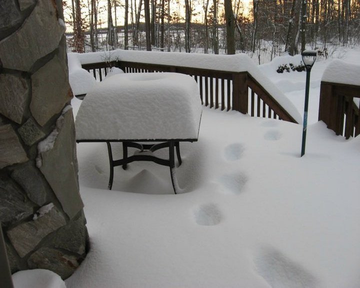
Dug up a couple photos from this event. In terms of snowfall that winter was truly Epic. Never see that again.

-
Nope. Once in a lifetime. Amazing and surreal winter. Near starvation since has produced rampant weenie-ism.
-
What I remember is that heavy snow band that developed on the front end here. Was supposed to be 1-2 inches by morning(I was planning to travel based on that) but the first 3 hours of the storm produced 6 inches of snow by 7 am...so I stayed home.