CAPE
-
Posts
36,925 -
Joined
-
Last visited
Content Type
Profiles
Blogs
Forums
American Weather
Media Demo
Store
Gallery
Everything posted by CAPE
-
^Easy to imagine how this will go. That EPAC ridge/downstream trough position looks precarious.. but a monster -NAO will save us this time! I wont bother posting it because it sucks beyond words, but the CanSIPS has the h5 look that will probably be much closer to reality, based on our recent run.
-
CFS has been on a "good" run lately with looks like these. No qualifiers necessary. We all know the deal with long range climate models.
-
Lets get this (pity) party started.
-
You have had like 10" in the last month lol. How are the skeeters there?
-
1.68" total here, mostly from the initial round. I guess most of the heavy stuff around midnight moved to the SW of here.
-
I love the continuous low rumbling thunder after the main show moves through, esp at night. Relaxing. I was done drinking, but just poured another glass of wine.
-
Nothing severe here. Some impressive T&L and wind. Heavy rain is what I was after, and I got that. 1.25" and it seems to be winding down now. Looks like some scattered stuff yet to move through, and maybe a round 2 later per radar. If not, I'm good with this. No sprinkler for a few days, maybe longer if the late week coastal deal delivers.
-
Wind is impressive right now. It can stop right there. Too many trees.
-
I know the feeling. Been almost a month here. This one is rocking pretty good now.
-
-
Wicked lightning. Scared my ass back inside.
-
Im headed out to the end of my driveway
-
Not sure she is checking out the clouds. Doggie possession?
-
Some serious looking blossoming on radar though. Maybe the mesos got it right this time.
-
I take nothing for granted living in this area, which seems to always "enjoy" a midsummer desert-like climate.
-
My sprinkler(and well pump) sure could use a break lol.
-
Wind has picked up and temp down to 76. Lots of rumbling.
-
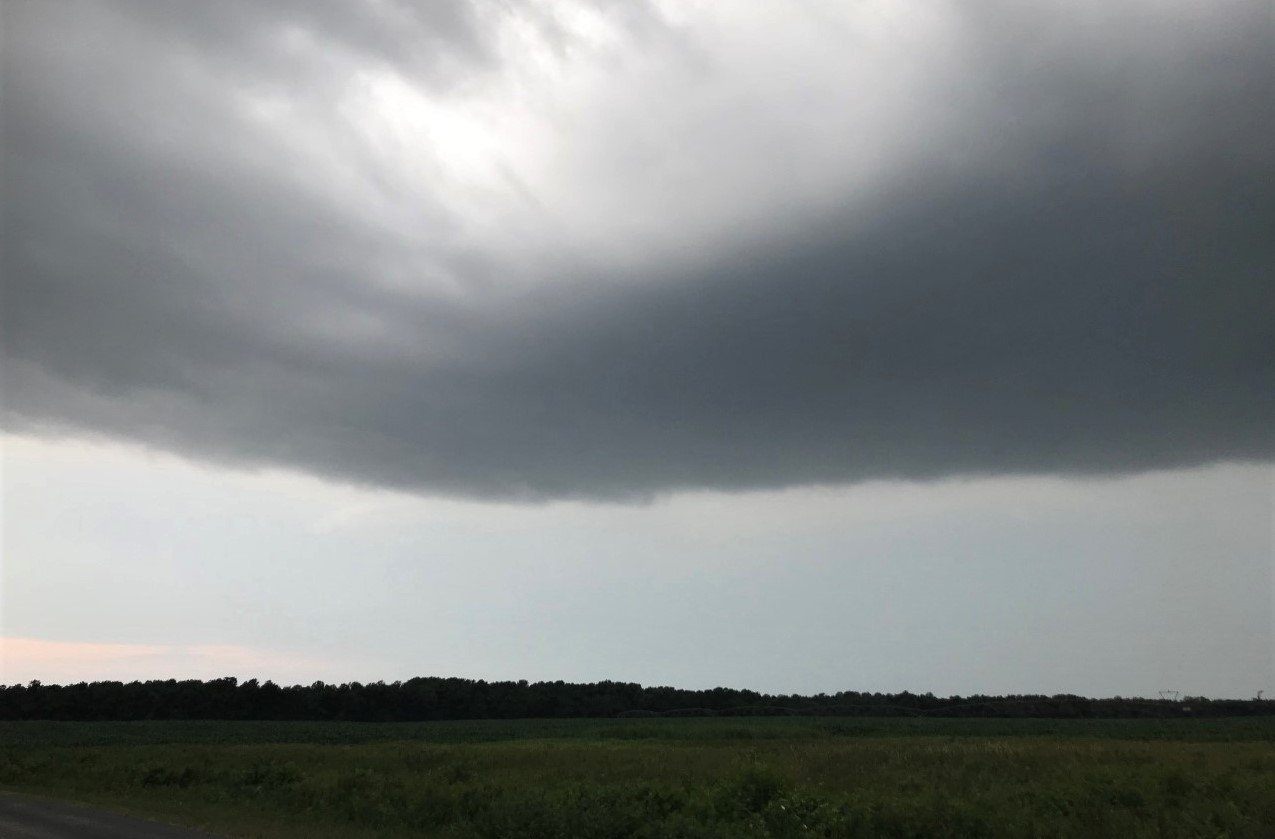
This is looking SW and aligns with the well defined outflow boundary seen on local radar. All the action is developing "behind" me, and moving in this general direction. We shall see!

-
Hearing lots of thunder. There is major action to the north, to the east, and now to the west of here. And all converging on this general area. It will be interesting to see if it can all manage to miss lol.
-
Remains to be seen. Either way, I am probably going to chase if a severe cell with a wicked hail core develops within a few miles of here.
-
18z 3km NAM looks fun from about your area points east.
-
The HRRR just went from giving my yard 2-2.5" for multiple runs, to about 0.3" at 19z. Now that is much more believable lol.
-
One thing that is "concerning" is the tendency for the storm motions around the initial Philly complex to move more SE than SW. With such weak flow, and localized boundaries, I really dont trust the CAM's skill in accurately depicting where new convection will fire. IMO they struggle when the forcing mechanisms are weak/subtle, and steering currents are light.
-
With the impressive SBCAPE, cold pool/outflow action should easily initiate new storm development.
-
Decent outflow boundary on Mt Holly radar moving SW towards N DE. Lets see how this evolves over the next hour.