

CAPE
-
Posts
36,851 -
Joined
-
Last visited
Content Type
Profiles
Blogs
Forums
American Weather
Media Demo
Store
Gallery
Everything posted by CAPE
-

December 2021 Medium/Long Range Discussion Thread
CAPE replied to North Balti Zen's topic in Mid Atlantic
This is about all that can be said at this juncture. Lots of intricate wave interaction/timing, and not exactly a classic h5 look on the means for lowland snow at the beginning of December. Sometimes it can all fall into place though with a well timed PNA ridge and all the shortwaves end up in the right places with the required spacing. -
0.30" of rain overnight. Brings the monthly total to 0.78". It has been pretty dry.
-
Low of 29 here.
-
December 2021 Medium/Long Range Discussion Thread
CAPE replied to North Balti Zen's topic in Mid Atlantic
Paying more attention to the large scale synoptics and the means and less to random op runs depicting snow at range might also help to mitigate these perceptions. -
Maybe a mod could add the word 'discussion' to the Medium/LR thread title. I believe there is a thread devoted to pasting digital snow maps from random D10 op runs.
-
December 2021 Medium/Long Range Discussion Thread
CAPE replied to North Balti Zen's topic in Mid Atlantic
I don't believe a single green or blue pixel appears over my yard on the 18z GFS for Sunday into Monday lol. If nothing else, the dryness looks to continue. -
December 2021 Medium/Long Range Discussion Thread
CAPE replied to North Balti Zen's topic in Mid Atlantic
From what I can see on the free site it looks like a coating to an inch for most of the area east of the highlands. Given climo, trajectory of the approaching shortwave/lack of moisture, seeing flakes fall in the lowlands would be a win. It would take more dig and surface low development sooner/ closer to the coast to get something more significant. -
December 2021 Medium/Long Range Discussion Thread
CAPE replied to North Balti Zen's topic in Mid Atlantic
In February. -
This defense needs to figure out how to get their responsibilities right. Just ridiculous.
-
I was about to turn it off then I was like wth. Crazy.
-
LOL Ravens defense.
-
Apparently something was going around among other players on the team this week- flu maybe? but none of them are missing the game.
-
No Hollywood either today. Hopefully they can run it a little. Defense needs to have a big game. They sure are due.
-
No Lamar today- non COVID related illness. Well, he already had that twice. For a world class athlete, he sure gets sick a lot.
-
Low of 31. 37 now.
-
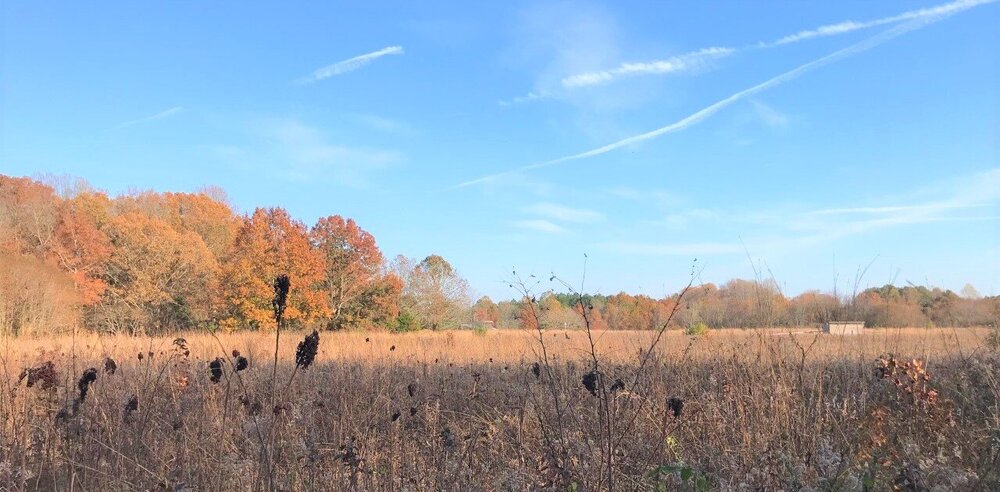
Beautiful morning with an early winter feel. Couple shots I just took from the end of the driveway.
-
27 here this morning. First legit freeze.
-
December 2021 Medium/Long Range Discussion Thread
CAPE replied to North Balti Zen's topic in Mid Atlantic
-PNA. -
A couple from Tuckahoe State Park from yesterday.
- 71 replies
-
- 10
-

-
He seemed to fit in, team player, etc. But at some point production is required. Now maybe we will see what the deal is with Ty'Son Williams. If he doesn't get playing time now then clearly there is something they don't like about him.
-
Le'Veon Bell was waived.
-
He means that the Ravens had sort of a 'mini bye' because they did play on Thursday, and it turned out well with the Steelers tie and Browns getting destroyed yesterday.
-
Not a problem with that anomalous ridge in the NAO space. Hopefully it ends up more than just model fantasy, and a fixture a month down the road.

