CAPE
-
Posts
36,860 -
Joined
-
Last visited
Content Type
Profiles
Blogs
Forums
American Weather
Media Demo
Store
Gallery
Everything posted by CAPE
-
It may end up being average if the LR guidance is correct and a shift in the pattern is underway around mid month. The last third of the month could be cooler than average. Ofc we just cant know yet.
-
This weekend looks legit June-like.
-
0.65" here overnight. Some heavy downpours.
-
A bit early for me. I usually try to wait until December.
-
Pretty good agreement for some sort of a workable pattern evolving over the next several weeks. Main issue would be climo ofc. December snow is highly desirable and romanticized, but not very often realized in the MA lowlands.
-
New edition of CanSIPS for December at h5. Surface temps normal to slightly below for our region, precip slightly above. I am sure we could thread the needle for some seriously cold rain out of a set up like this.
-
Giving up a 2 and a 5 and a spare part LB..so the question is can they actually keep this dude long term? Otherwise a bit steep for a rental.
-
Well damn. Bears trading LB Roquan Smith to Ravens for draft picks https://www.nfl.com/news/bears-trade-lb-roquan-smith-to-ravens-for-draft-picks Not a WR but a significant upgrade at a position of need presently. And both Bowser and Ojabo were activated and may be ready to return over the week or so. LB talent and depth could become a major strength for the second half of the season.
-
Btw this is the correct thread for discussion about how the longwave pattern may unfold over the next month. If you want speculation/forecasts about the character of winter as a whole, or never-ending 'opinions' from the daily post limited member from another sub, the 5 month old winter thread is where you should be.
-
Latest Euro weeklies for the same period. All Fwiw obv. A month out these long range forecast tools, over a series of consecutive cycles, should have some clue one would think. Otherwise what good are they?
-
I mean, shit, we only about a month away now.
-
Latest CFS weeklies look like this the period just beyond the last week or so of November when the HL blocking is forecast by the model to develop. Would be a pretty decent look to start off December.
-
Was hiking at Tuckahoe and ended up at Adkins Arboretum. When I was walking that path and saw that view I was like whoa. Set up for a perfect shot.
-
Had to go look at the record. Damn. No one talking about them. Smoke and mirrors? On the surface, seems they might be the second best team in the NFC. Hear plenty of talk about the Eagles.
-
Totally different world over here with the marine cloud deck in place. low of 44.
-
Drinking one of these. Had it on draft the other night in Rehoboth. Fantastic. Still very good bottled. Not sure I would drink this one at breakfast time though lol.
-
too common around these parts to be scary lol.
-
Walked around the property drinking a pumpkin beer and took some tree clippings/ picked leaves to make this dining table centerpiece. I freaking love Fall.
-
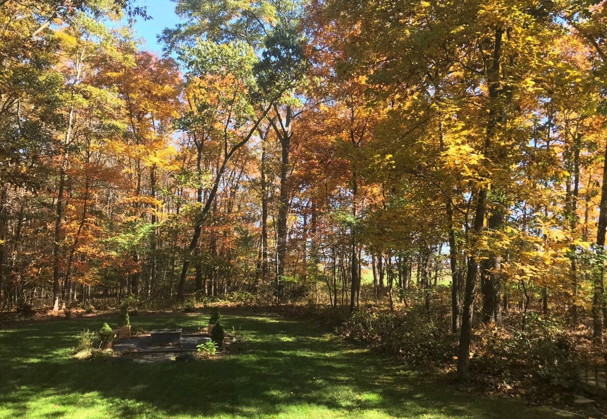
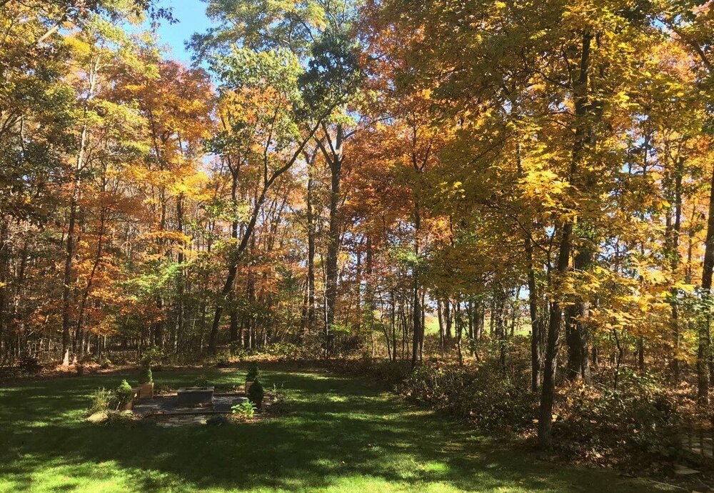
View from the Kitchen window. Just finished blowing leaves/mulch mowing the back yard. Plenty of leaves have come down- some trees are just approaching peak color while others are past and going bare. Lots of diversity in tree types.
- 78 replies
-
- 11
-

-
That's the general idea. I wouldn't be surprised if Dec ends up pretty decent in the high latitudes on the Atlantic side, but getting the Pacific to simultaneously cooperate is a struggle. Default with a Nina. The pattern progression might go somewhat like last winter, where we ended up with something workable for early January.
-
Much of the extended guidance is suggesting a developing -NAO towards the end of November. Fwiw ofc. Would also need some changes in the EPAC wrt the Nina dominant ridge strength/position to get us to a more favorable pattern. Extended GEFS for shits and giggles..
-
Yeah I am not really expecting it either. I guess maybe we will see what Jackson has left in 9 days. They believe in using multiple TEs as receivers, and they have plenty lol. Kolar might be close to coming back, so add another.
-
No. Mosquitoes aren't active when temps are below about 50, but many species survive winter by hibernating. The females lay eggs when it warms in the Spring.