All Activity
- Past hour
-
Made it to 49 yesterday, no rainfall
-
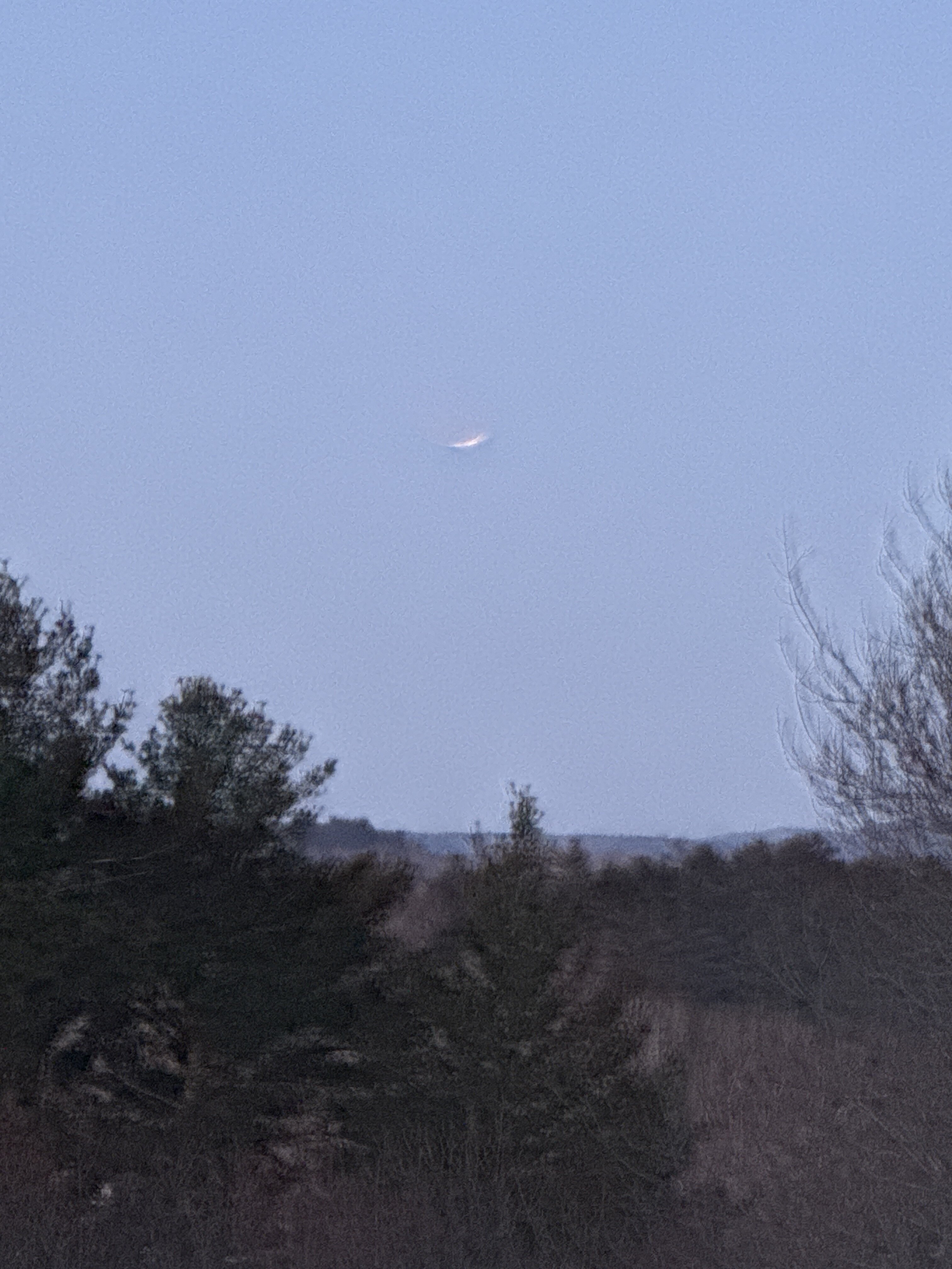
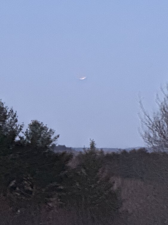
Great pic!
-
I’d say 80% of schools in CT have closed
-
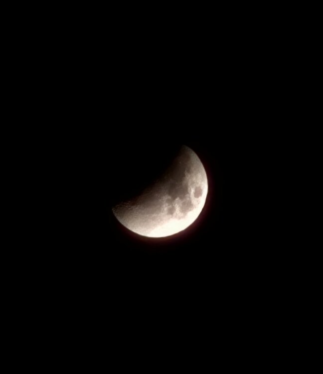
Too many clouds IMBY, that’s a great shot
-
That’s sweet
-
Looks icy this evening just inland
-
We eclipse
-
Full moon
-

Outta gas and Outta Time: Early March Winter Storm finale
snowfan replied to Ji's topic in Mid Atlantic
I believe this is the first winter since 17-18 that BWI has recorded more than a T of snowfall in 4 straight months (Dec-Mar). -
12/5/25: 1.5” 12/14/25: 2.25” 1/17/26: T 1/18/26: .25” 1/24 - 1/25: 9” of snow and sleet 2/5 - 2/6: .25” 2/22: 2.25” 3/2: .5” Season Total: 16.0”
-
Fair enough
-
3/2: 1.0” 17.5” season total. Think that puts me just above median snowfall since I’ve been in Columbia (starting 09-10 winter).
-

Outta gas and Outta Time: Early March Winter Storm finale
WxUSAF replied to Ji's topic in Mid Atlantic
BWI reported 1”! How did IAD only have 0.4”?? -

2026 Severe Wx - General Thread
HillsdaleMIWeather replied to largetornado's topic in Lakes/Ohio Valley
its time -
Outta gas and Outta Time: Early March Winter Storm finale
WxUSAF replied to Ji's topic in Mid Atlantic
Temp around 30 and sounds like rain on my roof and windows -

E PA/NJ/DE Winter 2025-26 Obs/Discussion
Kevin Reilly replied to LVblizzard's topic in Philadelphia Region
32f humidity 79% dew point 26f sleet freezing rain a few darting snow flakes. Last flakes of the year possibly. slight sleet accumulation on cars at the moment. You can tell this will not last long and should be rain very soon. -

Outta gas and Outta Time: Early March Winter Storm finale
arlwx12 replied to Ji's topic in Mid Atlantic
Some schools (Fairfax and some to the NW) are delayed two hours. Probably to ensure most leftover black ice gets melted/washed away or visible. -
I mean, can’t make any promises that far out, but seeing what the euro operational has and the look the EPS has you would think so.
-
That wedge made it to my area this morning. A bone chilling 50 this morning with a predicted high of 67. Next 10 days or so low to mid 80's. Time to turn on the heater for the pool. Swimming in early March! Love it!
-
Looks good for post warm up?
-
No clouds yet in Westfield, and a little eclipse before the storm. 8 degrees Edit: Was lucky to see it, 10 minutes after this picture the clouds rolled in
-
EPS setting up for violence.
-
Down to 5F so far in the valley in E CT; how quick does the cold air get mixed out?
- Today
-
.thumb.jpg.6a4895b2a43f87359e4e7d04a6fa0d14.jpg)
Central PA Spring 2026 Discussion/Obs Thread
Yardstickgozinya replied to Voyager's topic in Upstate New York/Pennsylvania
Latest discussion on today's freezing rain from nws. -- Highlight Changed Discussion 619 FXUS61 KCTP 030741 AFDCTP Area Forecast Discussion National Weather Service State College PA 241 AM EST Tue Mar 3 2026 .WHAT HAS CHANGED... * Minor adjustments to hourly temperatures today into tonight && .KEY MESSAGES... 1) Light wintry mix with minor ice accumulation brings slippery road conditions and travel/school delays early today 2) Periods of much-needed rain expected from Wednesday through the first weekend of March; wet pattern favored into next week with above-normal rainfall likely 3) Significant springtime warming pattern ramps up from late week into the second week of March && .DISCUSSION... KEY MESSAGE 1: Light wintry mix with minor ice accumulation brings slippery road conditions and travel/school delays early today A low-level warm advection regime will sustain light wintry precip as it continues to spread from southwest to northeast across CPA this morning. Some sleet and/or light snow may fall at the onset or on the front-end of precipitation as -2 to -6C max wet bulb temps retreat to the northeast. Light/minor ice accumulation from freezing rain of generally 0.10 of an inch or less is likely across the bulk of Central PA with slightly higher amounts possible - particularly on the southwest Allegheny ridges. Temperatures warm above the freezing mark from southwest to northeast through the afternoon into tonight effectively transitioning ptypes to plain rain. Fog and low stratus may be expansive overnight with lingering areas of light rain and pockets of drizzle. -
Central PA Spring 2026 Discussion/Obs Thread
Yardstickgozinya replied to Voyager's topic in Upstate New York/Pennsylvania
Freezing rain atm. It's definitely getting slick out. The winter weather advisory was a good call. Watch out for morons this morning,and stay safe .