

radarman
-
Posts
14,464 -
Joined
-
Last visited
Content Type
Profiles
Blogs
Forums
American Weather
Media Demo
Store
Gallery
Everything posted by radarman
-
Yeah noticed that. Hangs back a band through here on Monday after ramping up QPF for the thump. That's how we'd do 18"
-
82 in S TX, 12 on the TX Panhandle Airmasses charging from both sides
-
Yeah you may be right. 13" on 2/13/14 11.25" 2/5/14 those blend together.
-
If this turns into widespread 10-12" you hope there won't be a lot of disappointment here In the next few days I'll be watching out for drying midlevels showing up, especially if the trough keeps trending west. As mentioned if it goes the other way and you start seeing mesobands and mid-level magic or ivt snows then we'd start to push the expectations up. 2/5/14 was widespread 10-14" even down to DC and it was an awesome storm. Just hope a redux of that wouldn't be considered a fail.
-
2/5/14ish maybe?
-

Rise of the Machines: January 18-19 Winter Storm Obs Thread
radarman replied to WxWatcher007's topic in New England
Also super fluffy and sitting up Kind of felt like cheating to add to the totals with the denser stuff we'd received the previous 24 hours, but the ruler said what it said. And we know the mountains of NNE don't apologize for or qualify their ratios. -
Rise of the Machines: January 18-19 Winter Storm Obs Thread
radarman replied to WxWatcher007's topic in New England
5" on Saturday, 1" overnight through Sunday AM, 3.5" last night through this morning. -
Rise of the Machines: January 18-19 Winter Storm Obs Thread
radarman replied to WxWatcher007's topic in New England
That back edge has actually been producing good snsh this morning. Big fluffy flakes. It is so wintery rn -
Another Coating of Snow Saturday - "It's all we Got"
radarman replied to Sey-Mour Snow's topic in New England
In a lull but the next batch to the west should get us to 5" here -
First Legit Storm Potential of the Season Upon Us
radarman replied to 40/70 Benchmark's topic in New England
Lets see Will Anderson try to bend around the edge on 6" of glop -
Another Coating of Snow Saturday - "It's all we Got"
radarman replied to Sey-Mour Snow's topic in New England
Berkshire East did quite well overnight. Definitely 5" of light snow up top by first chair and was snowing hard with an extra 1-2" when I left. Radar looks great too. 3"+ now at the house and looks to keep up a while -
Another Coating of Snow Saturday - "It's all we Got"
radarman replied to Sey-Mour Snow's topic in New England
Pound town on the GFS -
Another Coating of Snow Saturday - "It's all we Got"
radarman replied to Sey-Mour Snow's topic in New England
Nammy bumping up in places, esp 3km -
Not sure if you've skied there but if the snow cooperates that should be an awesome event. Great hill.
-
Another Coating of Snow Saturday - "It's all we Got"
radarman replied to Sey-Mour Snow's topic in New England
2-4" with an elevation gradient in this area has been on the table for days. Berks/S Greens jack, perfect, but I don't see much suggesting anything has changed locally. -
First Legit Storm Potential of the Season Upon Us
radarman replied to 40/70 Benchmark's topic in New England
I've seen a lot of AI fails however -
First Legit Storm Potential of the Season Upon Us
radarman replied to 40/70 Benchmark's topic in New England
Maybe I missed something but not sure I've seen an AI coup -
First Legit Storm Potential of the Season Upon Us
radarman replied to 40/70 Benchmark's topic in New England
Precursor advy event for the interior still there as well -
January 2026 regional war/obs/disco thread
radarman replied to Baroclinic Zone's topic in New England
It did the coup de grace on the ice in my driveway so I was grateful for that. Only about 25% snow coverage left but looks to be back by Saturday night. -
First Legit Storm Potential of the Season Upon Us
radarman replied to 40/70 Benchmark's topic in New England
2-4" for this area east ORH even before whatever comes up the coast. Nice arrival time for the coastal too, right around or before kickoff. -
January 2026 regional war/obs/disco thread
radarman replied to Baroclinic Zone's topic in New England
I've refrained from chiming in lately but the fact is you have to play the hand you're dealt. If we had super snowy and warm we'd be skiing. If we had early Jan 2007 we'd be out taking walks. Of those who complain most bitterly I'm not sure they've ever posted evidence of going outside in the winter in any conditions. The south beckons. -
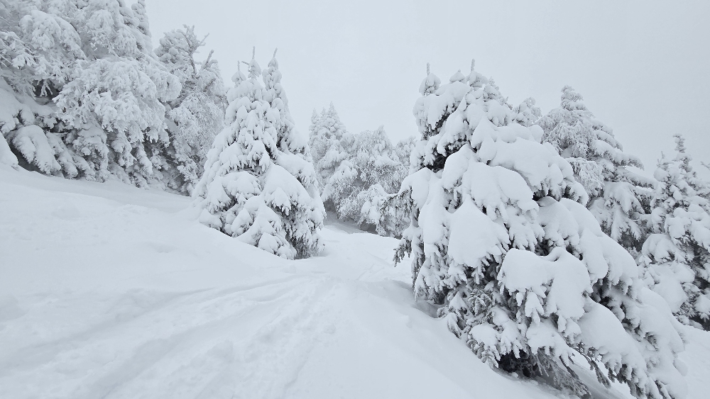
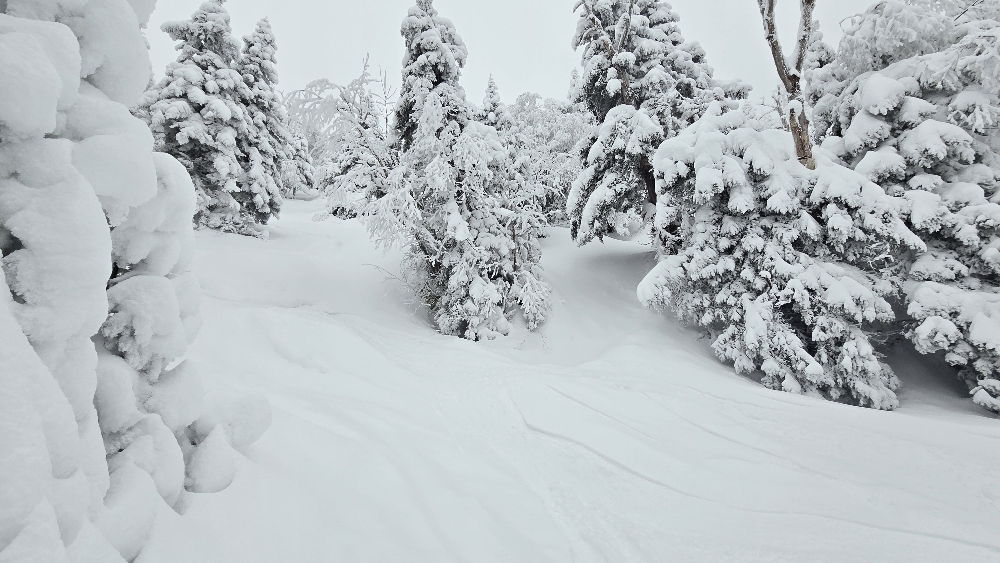
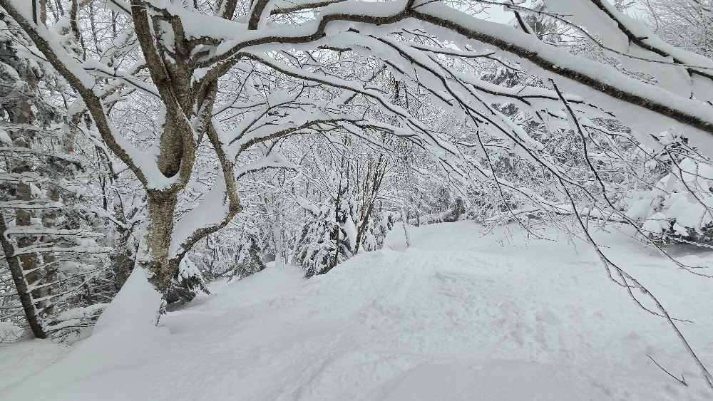
Snowy up there in NNE
-
January 2026 regional war/obs/disco thread
radarman replied to Baroclinic Zone's topic in New England
Moderate snow, half inch so far -
January 2026 regional war/obs/disco thread
radarman replied to Baroclinic Zone's topic in New England
Ice fishermen reporting 8-12" depths in general. Probably more in the cold spots. I'd have to think the ponds even in eastern MA would be plenty safe, but who knows these days. It's like night and day, in temps and mindset. -
January 2026 regional war/obs/disco thread
radarman replied to Baroclinic Zone's topic in New England
Yeah, it's been amazing. I'd say the best skating since 09/10. We've had good days since then, but not so early and so consistently. Pickup pond hockey is happening all over the valley like we were transported back in time 50 years.

