Winter Wizard
-
Posts
689 -
Joined
-
Last visited
Content Type
Profiles
Blogs
Forums
American Weather
Media Demo
Store
Gallery
Everything posted by Winter Wizard
-
Pretty clear differences between the EPS and GEFS evolution...EPS has a notably stronger -PNA signal which enhances the SE ridge and takes the mean storm track farther N while the GEFS is neutral to slightly positive. You would want that parent low to decay sooner, closer to OH/KY border rather than MI to get any appreciable frozen precip into the Mid-Atlantic. Even then, it would favor the typical climo areas - at the current depiction, it's difficult for me to get enthused if I lived near the coast.
-
I'd probably push the first two windows back a few days, otherwise this seems pretty solid to me. Models have had a very tough time handling the Pacific so far this Fall and have been too quick to erode the -PNA again. I'm optimistic that we'll at the very least go neutral by 12/20 while EPO turns back to the negative phase and blocking retrogrades to the Hudson Bay. That's a pretty good look for some potential late month fireworks but no doubt there will be more meltdowns before then.
-

March 9: Little Critter that could part 2.
Winter Wizard replied to Sey-Mour Snow's topic in New England
Right around 2” here in West Somerville, maybe a bit more. Slow start but ended up exceeding expectations. -
March 9: Little Critter that could part 2.
Winter Wizard replied to Sey-Mour Snow's topic in New England
Stuck in the screw zone here in downtown Boston. -
March 2022 Obs/Disc: In Like a Lamb, Out Like a Butterfly
Winter Wizard replied to 40/70 Benchmark's topic in New England
Surprised to see so little discussion about Wednesday. Easily could be a moderate event for southern regions. -
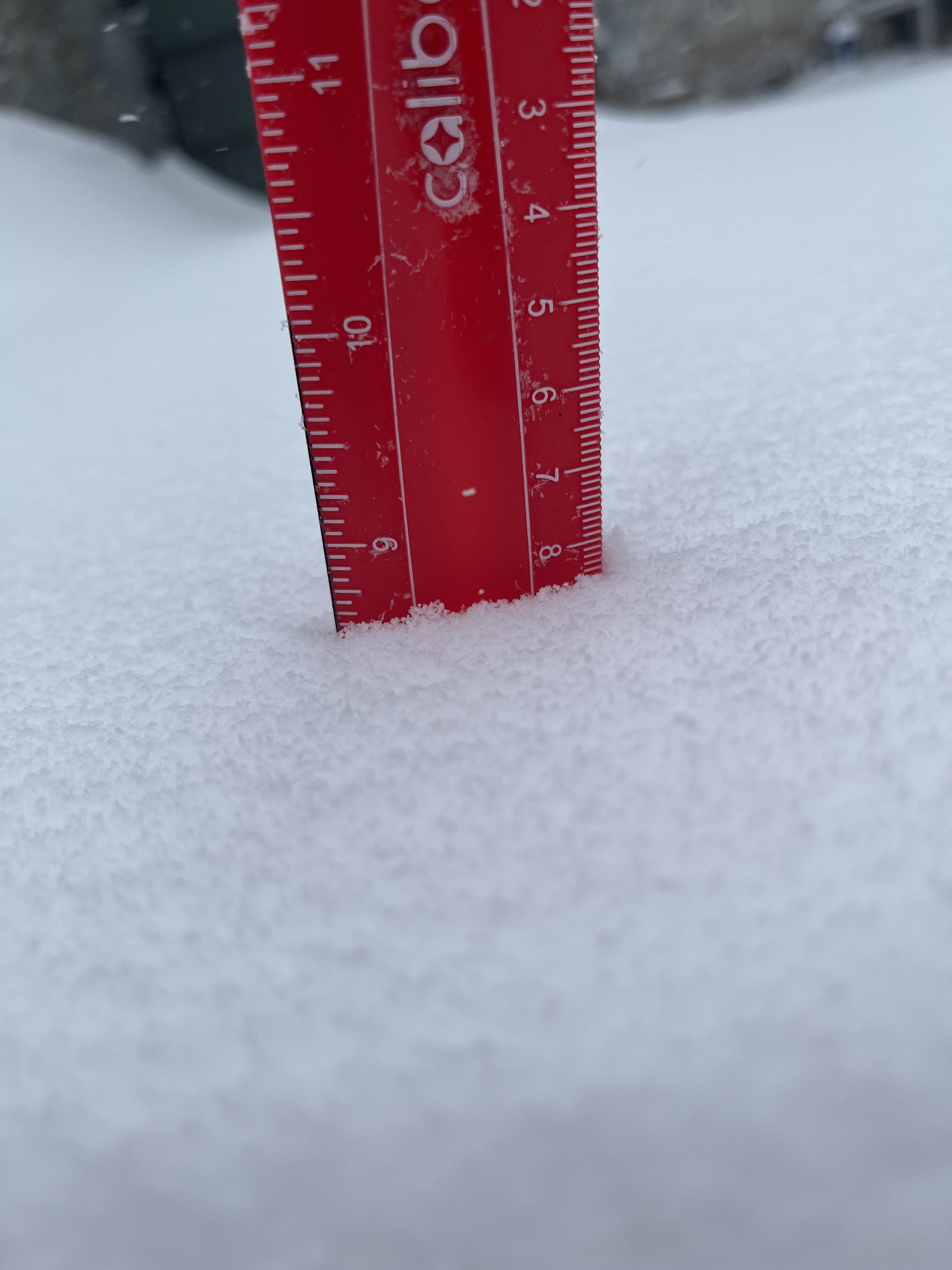
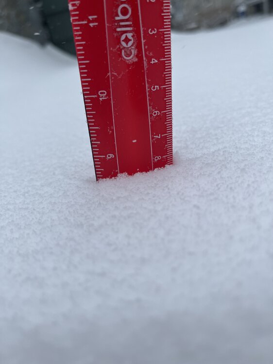
Unless we tack on a few tenths this should be the final total. Solid storm.
-
The CF is pretty solid here in Somerville. Probably above 8” at this point.
-
Hi-res guidance is pretty insistent on some OES this afternoon and evening. Maybe we squeak out another inch or two along the eastern MA coastline?
-
7.3", sleet.
-
This is where the 495 crew should clean up. Mix line seems to be pretty much overheard in Somerville.
-
Getting much fattier flakes now.
-
Got around 6" in Somerville, MA. Still coming down hard.
-
Heavy snow Somerville, MA
-
Winter storm for the 25th of February is imminent.
Winter Wizard replied to Typhoon Tip's topic in New England
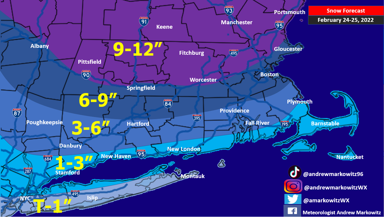
Going with this as my stab at the forecast. Could see shifts either way, but hedging toward the warmer solutions for coastal SNE.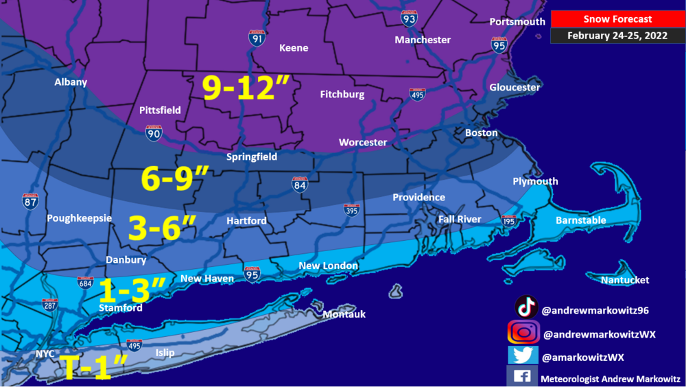
-
Winter storm for the 25th of February is imminent.
Winter Wizard replied to Typhoon Tip's topic in New England
Synoptically the NAM did come closer in line with other guidance in showing a quicker decaying primary and secondary development at 40N. It’s still tenuous for areas on the fringe but probably fair to shift a 6”+ range south a bit with medium-high confidence. -
Winter storm for the 25th of February is imminent.
Winter Wizard replied to Typhoon Tip's topic in New England
The NAM is still a bit of an outlier, but is an entirely plausible scenario where the primary low chugs way ahead into NY state while any secondary low develops far too late to be meaningful. -
Winter storm for the 25th of February is imminent.
Winter Wizard replied to Typhoon Tip's topic in New England
It's wild reading some of these complaints after living through a bunch ratters of winters in the Mid-Atlantic. -
Winter storm for the 25th of February is imminent.
Winter Wizard replied to Typhoon Tip's topic in New England
I’m skeptical of anything more than isolated double digit totals but a widespread swath of 6”+ in New England seems logical. My initial hunch is it’s overdone from the Pike south and you shift it north a bit, more like a sloppy few inches for BOS. Going to be a very sharp southern gradient. -
It's here and it's legit
-
34.8" in West Somerville, MA
-
Around 4.5” in Somerville
-
Measured a bit over 2” in Somerville. Uncanny how every storm this season turns into a South Shore jackpot.
-
OBS/DISCO - The Historic James Blizzard of 2022
Winter Wizard replied to TalcottWx's topic in New England
You’re right up the road from me. How much do you have? -
OBS/DISCO - The Historic James Blizzard of 2022
Winter Wizard replied to TalcottWx's topic in New England
I have no idea how much we have but caught the edge of the yellow band and it’s incredible. Visibility 100 feet max and piling up quickly. -
OBS/DISCO - The Historic James Blizzard of 2022
Winter Wizard replied to TalcottWx's topic in New England
The deathband is here and it’s glorious