HIPPYVALLEY
-
Posts
32,946 -
Joined
-
Last visited
Content Type
Profiles
Blogs
Forums
American Weather
Media Demo
Store
Gallery
Everything posted by HIPPYVALLEY
-
The question is will it be sustained or short burst? That period is getting towards the heart of summer so heat is not surprising.
-
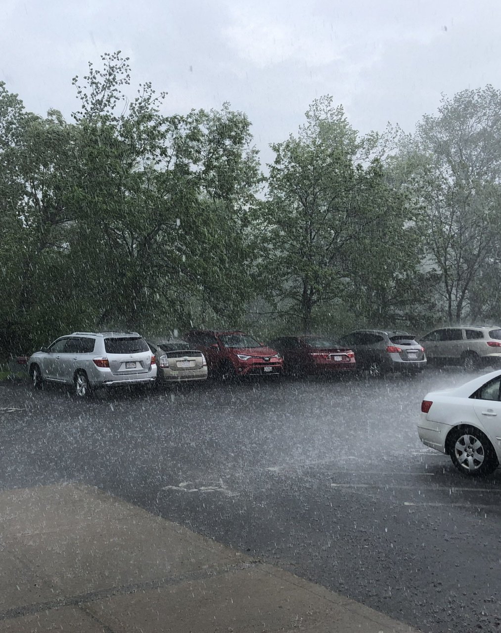
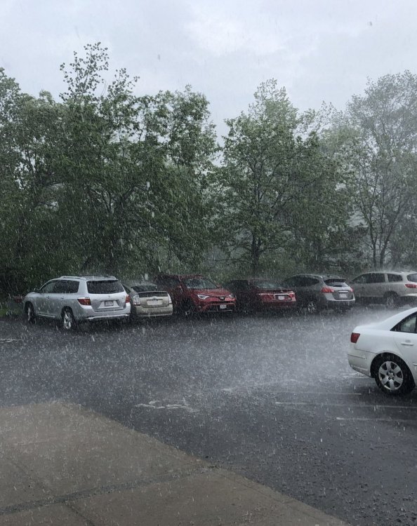
The cell over the Hadley Amherst area just won’t quit. I waited for about 20 minutes then I just turned around and went back to Northampton where it’s blue skies. Route 9 in Hadley was starting to flood out.
-
Absolute monsoon in Hadley right now.
-
Yeah, this morning was the most unpleasant morning so far. We bottomed out at 70.
-
A massive, crippling cyberattack is only a matter of time at this point. Imagine the panic if people all of a sudden couldn’t use credit cards or access their money with ATMs.
-
A lot of news sites down.
-
Missed here, Saturday only got to 88. 90 and 92 Sunday and today.
-
Only hit 92° today. Down to 82° now. A little underwhelming considering there was a heat advisory an 97° was forecast. Mid afternoon was pretty muggy though with DP’s in the mid-60s.
-
I'll just leave this here for baseball fans wondering about the spectacular pitching performances this year. https://www.si.com/mlb/2021/06/04/sticky-stuff-is-the-new-steroids-daily-cover?utm_source=pocket-newtab
-
Early dismissal in Greenfield. No a/c plus masks is no bueno for the kids or teachers.
-
The valley is going to roast tomorrow.
-
82/57 here. Already feeling pretty toasty.
-
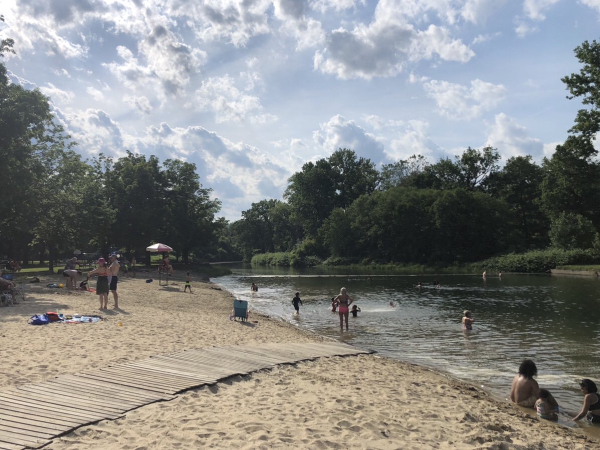
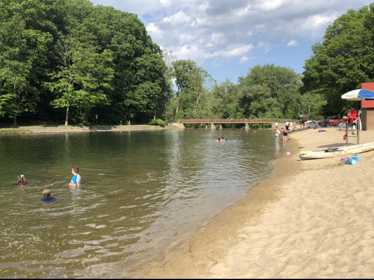
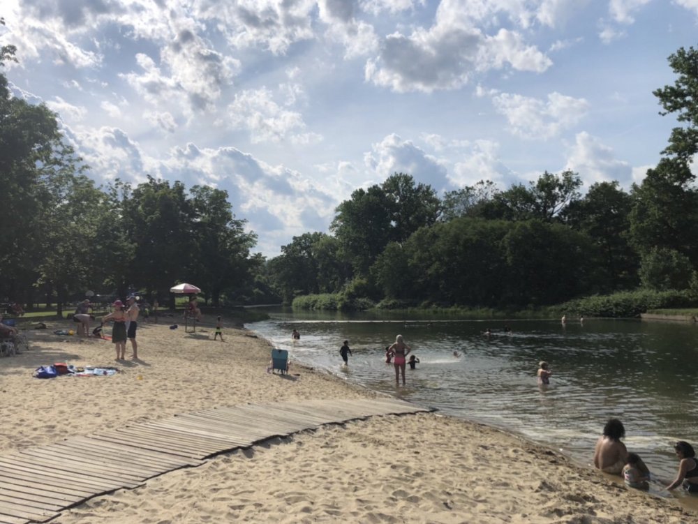
Hi of 85° here today. Perfect summer day. Greenfield has a pretty awesome town swimming area. Section of the green river with a damn to regulate water levels.

-
Pretty damn dry here. Plants a bit droopy.
-
He was almost acting like a dog that wanted to come closer and get petted.
-
Lol, just had a black bear walk within about 20 feet of me. I didn’t want to get him worked up so I just clapped my hands and pointed and said “go home” and after curiously staring at me for a bit he turned around and waddled off.
-
I’m sure the official report will come out saying it is Russian or Chinese technology and we need to double our military budget to counter it. With big fat contracts going to the usual suspects. Meanwhile food insecurity grows every year in the United States.
-
If you have the nine digit ZIP Code it will arrive at its destination no questions asked.
-
We have window units and a portable. I like the portable except for the noise. It’s much louder than our two new window units.
-
62° overcast
-
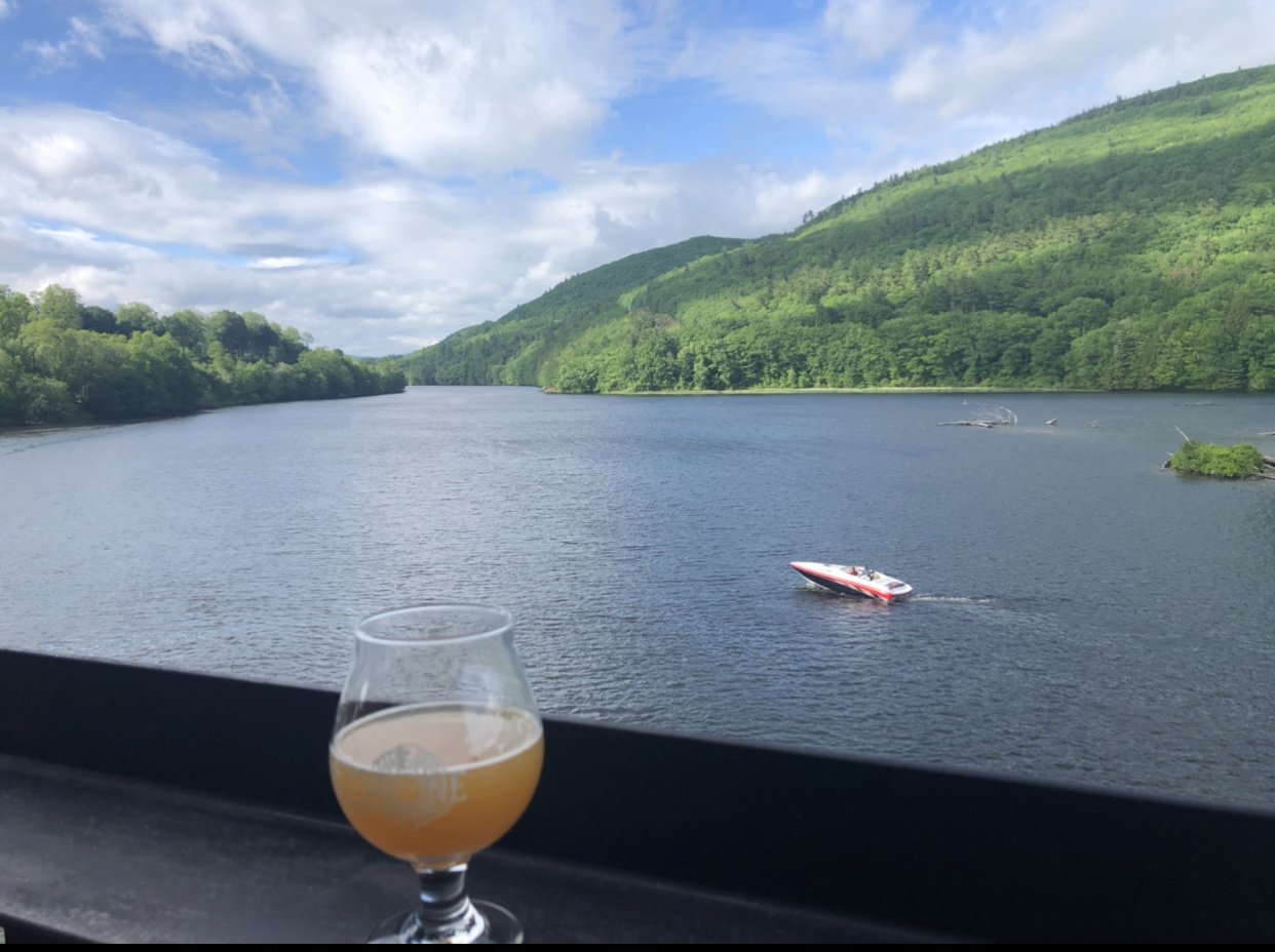
At least the last few hours of May were decent. Had dinner out on the deck at Whetstone Brewery.

-
We are at the local theater seeing “Cruella” and only 10 people here. Perfect because they also serve beer!
-
I would say Home Depot in Greenfield was about 70% masks. I wore one to be polite since I still have a dry cough from last weeks cold. Most of the staff had no masks and I was definitely getting some funny looks every time I cleared my throat. LOL. Guess what folks, people cough from other things besides Covid, deal with it.
-
Hell yeah. Who cares? My house was down to 60F so I dialed it up to 65F.
-
This will go down as one of the all time crappy Memorial Day weekends.