

Typhoon Tip
-
Posts
43,454 -
Joined
-
Last visited
Content Type
Profiles
Blogs
Forums
American Weather
Media Demo
Store
Gallery
Everything posted by Typhoon Tip
-
August Disco 2021. Do record dews continue?
Typhoon Tip replied to Damage In Tolland's topic in New England
yeah it's 92/60s here -
Legit cat 3 is potent enough for user's dystopian drug, anyway lol. No but It's really more of an experimental talking point. Its need stems from the gap between prediction vs, sometimes these cyclone do get into the 160+/ 910 mb VIP lounge - the trick is to know when. Seldom does NHC put out an advisory with a max wind forecast interval like that - yet they happen. Someone with stats? maybe 12 of these ilk of storm out there in the last 20 years. IT seems there's a gray area ( weak pun in there somewhere) in that upper ranging. But yeah, once we are over a buck-10 in sustained wind we're denuding the shore and calving roofs, just matter of how complete that denudation succeeds.
-
SW shear is very light and I still believe that as Ida denatures the surrounding medium in lieu of its mechanics, the cyclones subsidence circumvallate ring will take over and intercede any light shearing ... effectively creating its own environment that shelters that. If the shear were strengthening it would not be able to do so... Other than modest land elevations over western Cuba, I don't see any real reason why this won't just continue along an intensification curve. Frankly this is vivid candidate for an RI ... just reiterating my earlier sentiments, I know ... if this mid day surge in intensity isn't that process already beginning. I feel confident this cyclone will exceed present intensity expectation.
-
It's dropped over 10 mb in the last hour and a half
-
Now a hurricane
-
yeah it's like there is a 'key slot' angle ...which by virtue of being so narrow they tend to luck out for system's just not likely to hit that bull's eye. And approach of ~ 120 deg The Mississippi delta extends some 50 miles ESE into the Gulf; by that convention, a S --> N land falling monster is bad, but spares them the worst if say the open mouth of the river where it meets the Gulf were to forcibly gulp the ballast of a surge dome - so an upper tier category cyclone moving up from the ESE. IDA is moving sort of SE --> NW or SSE --> NNW so they are flirting with disaster here should Ida avail of what appears to be some very good parametrics.
-
Yeah ...totally valid as an idea - I don't personally have any on that particular aspect. "Ida"know what to say, Lol That said, the general arena between where Ida is located and NOLA is a deep bath of basically 0 negative/inhibitory factors as far I can tell .. beyond 24 hours from now. You know, passing over some of the highest oceanic heat content there is on Earth comparing to the world's other oceanic hot spot regions. As a sidecar wonder ... I sometimes think NHC is/has become a bit too reliant on modeling, and not really ...or may have lost some 'talent' or ... or perhaps policy forbades but the polish is lax. I read their discussions and it doesn't seem they elaborate enough on the top side implications. They do mention some light shear, but the modeling shows that weakening, and should Ida's convective circulation engine become influential, that'll easily supplant that incurring force and make it negligible to the core. Their modeling is good, but not perfect - It's a soft criticism... I mean, some day time and place the natural progression of ever advancing tech won't need this discussion. Hell, they're be a "Weather Modification Grid" so there won't be a need to even run models in that sense - they program the sun vs rain; that'll be it. Game over.. oy. lol. But for now, they seem to just be sticking with the model intensity consensus in a deep layer tropospheric synopsis that appears to offer that as a conservative model result. It'll be interesting.
-
I am not bullish on succeeding long tracks, any and every year lol... Like we outlined last page or two ago, it's like 'exposure' to reasons not to succeed is to great, and creates to low of probability to do so. That said, ...yar some years seem to demo flatter longer motions before getting pulled up. If that establishes earlier on... it may 'sort of' barometer the rest of that year. This year doesn't 'seem' like one of those, no. If the NAO does rise like the recent GEFs-based telecon suggests, that's a good start for getting one to do so. But we'll see... Not to be presumptuous ...but are you thinking about that next one coming off Africa in 4 days ? That's an impressive consistent signal in the operational and ensembles of them, going back 3-days worth of cycles now. That means the panoply of prognostic tools all see/saw it over a week from emerging off Africa - that's weird. The GGEM is not the owner of the tastiest solution for D8 ... day 8 haha! It's more about knowing it'll be on the charts I suppose.
-
Present convective explosion appears to be a threshold success and we may see this ramp a bit -
-
It used to always be that you could count on a right bias in the track guidance beyond ... so many hours. It appeaers that doesn't apply in this situation so much, for only being 3 days. If it did, this might correct toward the upper Texas Coast. I don't know about Rays 145 to 165 mph max wind nearing the coast, per se .. but I do agree in principle. The modeling of the TC its self, vs the modeled surrounding parametric soup of almost ideal favorable conditions, certainly spooks as the dreaded "intensifying upon approach," scenario ... Timing that, or if it RI earlier then leading *usually* a phase of ERC ...and all those nuanced aspect cannot be ascertained at this time, but seeing as those types of "alleviation" are fleeting, uncertain... and frankly appears to be the only aspects that can mitigate this scenario's upside, it is one that looks very bad - to me. Andrew did something like this...as did Camille, and there is plenty of at least anecdotal discussion in back offices spaces related to these tempests that do that. Sort of bide time and then go nuts nearing the shore, as at least performing at the classification. It's almost synergistic.
-
The melt may extend a week this year
-
August Disco 2021. Do record dews continue?
Typhoon Tip replied to Damage In Tolland's topic in New England
It does here... jesus -
August Disco 2021. Do record dews continue?
Typhoon Tip replied to Damage In Tolland's topic in New England
I don't know I you guys had a heat wave ...well down here I guess, when I was in Michigan so I wasn't here for that, but this is the hottest I've felt air this summer wtf - 94/75 at multiple home sites within mere miles of here -
Risking being personally merited with the dreaded Category 5 Bun, ... Still, I keep seeing this ominous synoptic layout in the Atlantic Basin CV transit. What makes it intriguing is that the STR is strengthening that is over-arching it ...and that is from the Euro, which is cross-guidance in agreement with the GEF's rising NAO during that period, ~ D6 -10... The hemispheric mode is saddling Ferrel latitudes with the balast of surface pressure... This is very consistent in multiple guidance types, as well.
-
August Disco 2021. Do record dews continue?
Typhoon Tip replied to Damage In Tolland's topic in New England
Like how it belts the N-central Gulf with two land falling, category 4 hurricanes inside of 84 hours of one another. That's a scenario in the d-day scriptures seldom envisioned - -
this thing could actually bomb - I mean... if there were ever a rapid intensification model, now might be a time to refer to it. just sayn'
-
Depression designation
-
August Disco 2021. Do record dews continue?
Typhoon Tip replied to Damage In Tolland's topic in New England
Not long ... Sooner up there.. but down here we may launch tomorrow and make a run at the upper 80s ... but that appears to be an 11am to 2pm ~ air mass removal at the coast, ranging to late afternoon inland... with a solid N-door/back-door hybrid fropa. This is the time of year where we do not loathe backdoor fronts! ...at least I don't... They are the absolute balm of soothe when they come through late August. They are not toting along 39F mist .... Rather, like a dive into a perfect swimming pool on a torrid day. That appears to be 75/61 Saturday ...after a 92-97/70 today - Consider us lucky ...because the circulation mode over mid latitudes N/A really is still very warm looking, but this trough ripping N of Maine being so unwanted in early May, is a god-send for dog-days in August. It sends positive pressure perturbations and air masses S-SW that really are hidden by the large synopsis - ace up our air mass sleeves in August's -
GGEM reduxes, too
-
August Disco 2021. Do record dews continue?
Typhoon Tip replied to Damage In Tolland's topic in New England
91/70 at Logan at 10:45 is pretty friggin spectacular for August 26th. It would be impressive for that to be the high temperature on this date at +10 but, relative to hour ...full sun, and no where to even borrow so much as a Cumulus implied by sounding and observations et al, may imply a very hot day is unfolding ...I mean, we don't even have smoke. I realize there are those contending the Logan calibration issue... but, some of these metro-west temperatures are near or equal so ... The wind out there is also flopping around from SW to NW so average west, which is farting right out of the city's anus. I'm snot sure one can 'reasonably' argue a tick or two temperature when the urban heat island spills air with similar other thermometer readings, over that site anyway. -
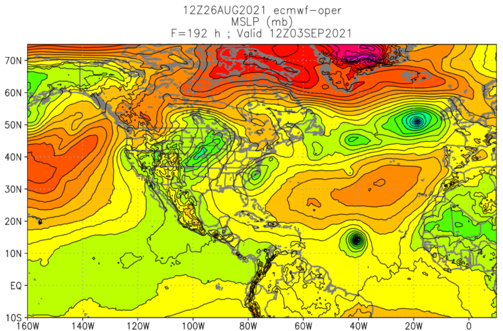
I mentioned this half in jest/seriousness the other day ... but it was really interesting and still is how the main player global numerical guidance ( operational versions ) were all taking the zygote 99L ( which I'm surprised that isn't designated a depression looking at various satellite channels/sources, but it's not a criticism; likely to be that way by sundown) on a N-central Gulf landfall trajectory, doing so with uncanny similarity in both timing and intensity. Remarkably consistent, and now also the fringe guidance types have all toed the line on that. I also suspect the similar handing of a Sierra Leone ejection into the CV climo transit, and rapid/strong development should be considered above the relative la-la range aspect. It's out there D6+ ... but the status of the VV potentials, combined with a +NAO-like circulation emerging and and overarching the Basin/transit would put that region quite favorable and these guidance seem to both plug a system into those kinematics, but most importantly have a TW over Africa already in "AI mind" ... 98L shouldn't be discounted either. That may develop ... whether or not it then interacts with that trough is negotiable really -
-
yeah the sort of 'super synoptic' suggestion is that whatever is delivered from the tropics E of Texas really has only one of two options: -- stalls and rains out down there, probably right where they desperately need 20" of rain, the Tennessee Valley. -- smears up and around the western circulation aspects of the WAR.
-
Yeah and it has to do with 'systemic momentum' too. For example, orbital eccentricities ... volcanism, even position moving through the galactic plain, even bio feed-backs and ocean aridity factor, all of these may have inherited the past era its momentum from a previous state of the climate. - I am not personally up to speed on those idiosyncrasies. Ppm in the discussion/green-house gasses are certainly huge, but these other factors could have made the D(ppm) on the way up or down, and/or become overwhelming, subsuming or enhancing the 400. Simply put, green-house gas is not the only factor. It's not so much 'the last time there was - ' that should be of import in the discussion; it's really about what was happening in the delta(geo) preceding and during 800,000 years ago. Having said all that... it's proooobably not a good thing that we have comparable CO2 levels, while our current delta(geo) is losing ice inside of Human life span observation periods. That's not a good portend. These kind of broadly canvased observable environmental changes means the planetary systems are being sent into a modality - whole planet! In fact personally? I suspect/hypothesize that anthropogenic environmental alteration have and continue to infused changes that have actually outpaced the rate in which these planetary system's of physics can respond. In other words, we may have to wait some untold number years to decades for the present atmospheric human-forced chemistry to realize it's greatest impact.
-
That's gonna be bad. For whom exactly is unknown but an upper tier headliner TC appears imminent to the mid range.
-
When you throw that hard right down the middle ….dam, stick the bat out there = home run


