

Heisy
-
Posts
8,369 -
Joined
-
Last visited
Content Type
Profiles
Blogs
Forums
American Weather
Media Demo
Store
Gallery
Posts posted by Heisy
-
-
Do you think winter is over for significant snow?
Look at the end of the eps and other ensembles and roll that forward. Everything looks in line with the weeklies progression. Heck NYC may even get snow next Monday hah. Once we get to Feb 4-6 we’ll see a solid pattern on the LR ensembles for around mid month, we’ll be tracking something soon. Just gotta get through next 15-18 days
.-
 4
4
-
-
Hopefully we can thread the needle
We never do, lol. Wouldn’t get my hopes up for this one. It’s not impossible to see some flakes though especially interior. Rocking Feb incoming though let’s do that.
.-
2
-
-
The weekend event is a thread the needle but not impossible. There’s a N/S wave that dives SE across Canada. How that is timed with the southern wave etc will determine what happens. Euro actually brings the N/S piece out ahead which built in some HP and is why it showed a snow event for NYC etc. would really need a perfect timed scenario idk.
Can see the two pieces of energy here, our main shortwave and the one in SE Canada
.-
5
-
-
Wxusaf,
12z OP GFS has the progression you pointed out. It’s also been on the weeklies too. The ridge migrates east and then eventually into the right places. We will torch a few days between now and then but whatever. Roll second image up in time we probably have a decent pattern

.-
5
-
 1
1
-
-
Just for fun. A last second shortwave dives out of Canada and builds HP behind it
Kaboom
.-
2
-
 1
1
-
 1
1
-
 1
1
-
-
Lol at his post. We aren’t just magically turning arctic cold again like flipping a light switch after that huge AK vortex and PAC jet extension floods all of Canada and the CONUS with Pacific maritime air. In 2 weeks we are already into February
You missed my point then. It was a “we’re kind of screwed” post. There’s still no reason we can’t rebuild a pattern by end of Feb into march though.
.-
2
-
-
The pattern should get good again, just in time for me to return from Seattle on the 10th.
Blizzard of 2/24/24 has a nice ring to it. Patience required
.-
2
-
3
-
-
Patience required…. Check back in after 2 weeks imo. This event today made me even hungrier for the big dog. One day…

.-
 1
1
-
1
-
-
Feb 15 to March 10 unfortunately
Yea, as long as it comes idc. Just want one major event
. -
Last nights eps was not kind to the eyes

.-
1
-
1
-
3
-
-
… kinda speechless. It’s the NAMs but hard to ignore 1) this close to the event and 2) when the Euro and HRRR agree (albeit not as expensive with that purple area) It’s just about game time, so let’s see what happens.
Didn’t I tell you earlier today? Dc/Balt would beat Philly. Enjoy it! Someone in MD will get 6+
.-
4
-
-
Kinda wild considering one of those cities has a warning up for 5-6” and the other has an advisory for 1-3”
Yep, and I think they’re wrong. I think just like the last event your NWS will be playing catch-up. Ours will bust high except maybe S NJ or C DE
. -
I think DC region beats Philly on this one too based on latest model trends
.-
4
-
-
I know it has been mentioned but this entire week has basically been at or below freezing with a night in the single digits for some and a couple of nights in the low 10's. This should be immediate impact so anyone out clubbing tonight should make final call at 1am so they can get home safely
Winter Club Warning
.-
1
-
4
-
-
Heisy! What’s your thoughts for February?
We’re gonna have another opportunity stretch at some point, personally think it’ll be in the mid to late month range. See if the SSW helps us in anyway. Didn’t love end of eps last night, little can kick. I wouldn’t wipe out the first week of Feb yet. Let’s see how the LR looks in about a week
.-
2
-
-
The op gfs improved the long range, sped things up… let’s see if gefs follows
.-
2
-
-
I've noted for a while...even when we get runs with a really good pattern...when I go look at the snowfall the mean indicates the snow is much further north than I expect given the pattern.
Expect the weeklies to change tomorrow since the eps kind of caved to the gefs and geps today, but I saw this on the control and it reminds me a bit of current pattern
. -
This event kills me because i truly think we were so close to a MECS. Look at the pac piece that migrates towards the coast around 60 hours on the models, had that not existed and the ridge was able to expand or hold firm during the event I really believe something like one of those older GFS runs could have happened. We’ll have more chances in Feb. gonna try to recharge my energy over the next 2 weeks. I got sick prior to Tuesday event and I’m still not great so haven’t been able to enjoy them as much as I normally would.
.-
6
-
1
-
-
Someone at Pivotal messing with us by drawing the L off NJ.

Has to do with the inverted trough there I imagine
. -
Am I the only one who walks there cats in the snow? Lol I’ll take pictures later
.-
8
-
-
He meant late January, lol
End of Jan
Mid Feb
End of Feb
.-
2
-
1
-
-
Man with the two or so already and another 4-5” would put everyone over 6!
Did any model show that 24-48 hours ago?
Be careful that map also includes sleet. NAM has a warm layer after 1am
. -
Weeklies for Feb look like fun with blocking showing signs of returning and really coming back towards end of month
.-
4
-
-
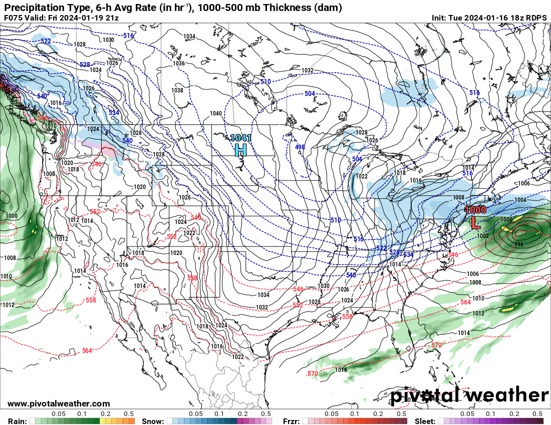
Whatever happens Friday it seems like a pretty good chance winter returns 29-30th

.-
12
-
January 2024
in New York City Metro
Posted
Look at the end of the eps and other ensembles and roll that forward. Everything looks in line with the weeklies progression. Heck NYC may even get snow next Monday hah. Once we get to Feb 4-6 we’ll see a solid pattern on the LR ensembles for around mid month, we’ll be tracking something soon. Just gotta get through next 15-18 days
.