AmericanWxFreak
-
Posts
1,704 -
Joined
-
Last visited
Content Type
Profiles
Blogs
Forums
American Weather
Media Demo
Store
Gallery
Everything posted by AmericanWxFreak
-

2023 Mid-Atlantic Severe Wx Thread (General Discussion)
AmericanWxFreak replied to Kmlwx's topic in Mid Atlantic
FFW posted from poolesville to rockville -
2023 Mid-Atlantic Severe Wx Thread (General Discussion)
AmericanWxFreak replied to Kmlwx's topic in Mid Atlantic
Kinda bowing out? Velocities picking up over MOCO -
2023 Mid-Atlantic Severe Wx Thread (General Discussion)
AmericanWxFreak replied to Kmlwx's topic in Mid Atlantic
These seem to have some bit of SE trajectory - Columbia about to get missed S? -
2023 Mid-Atlantic Severe Wx Thread (General Discussion)
AmericanWxFreak replied to Kmlwx's topic in Mid Atlantic
Please lol -
2023 Mid-Atlantic Severe Wx Thread (General Discussion)
AmericanWxFreak replied to Kmlwx's topic in Mid Atlantic
Pushing between 1-2” here to the SE -
2023 Mid-Atlantic Severe Wx Thread (General Discussion)
AmericanWxFreak replied to Kmlwx's topic in Mid Atlantic
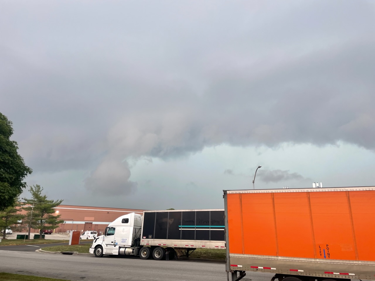
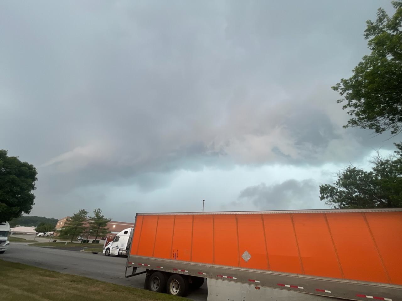
Legit storm in Jessup - Biblical rains. Good wind and voltage too.- 2,785 replies
-
- 2
-

-
- severe
- thunderstorms
- (and 3 more)
-
2023 Mid-Atlantic Severe Wx Thread (General Discussion)
AmericanWxFreak replied to Kmlwx's topic in Mid Atlantic
Entire area placed under a MRGL risk for today and "heavy rain and gusty winds" have been added to my P&C for today. Also - entire area put under a SLGT risk for D3 - Fairly widespread convection is forecast to be ongoing across the Upper Ohio Valley area, and into portions of the Mid South/Southeast, at the start of the period. The convection, and associated cloud cover, will likely hinder/modulate destabilization in some areas. Still, as short-wave troughing, within the base of broader-scale eastern U.S. cyclonic flow, advances eastward and takes on a negative tilt with time, convective redevelopment/intensification is expected. Accompanying the short-wave trough, enhanced cyclonic flow through a deep tropospheric layer is forecast to expand in an arcing manner from the Plains, into the Mid-South/Southeast, and into/across the Atlantic Coast states. This broad zone of moderately strong deep-layer quasi-unidirectional flow suggests potential for fast-moving storms/storm clusters, and accompanying risk for damaging winds, and some hail. While diminishing somewhat diurnally, wind risk will likely continue locally into the overnight hours.- 2,785 replies
-
- 3
-
-
- severe
- thunderstorms
- (and 3 more)
-
Sun starting to break through too, going to be ugly out there
-
2023 Mid-Atlantic Severe Wx Thread (General Discussion)
AmericanWxFreak replied to Kmlwx's topic in Mid Atlantic
From Jessup looking back into the Columbia cell during the tor warning. Was def a lot of low flying scud that’s for sure.

- 2,785 replies
-
- 5
-
-
- severe
- thunderstorms
- (and 3 more)
-
2023 Mid-Atlantic Severe Wx Thread (General Discussion)
AmericanWxFreak replied to Kmlwx's topic in Mid Atlantic
Def a gustnado along the gust front from a nearby storm. -
2023 Mid-Atlantic Severe Wx Thread (General Discussion)
AmericanWxFreak replied to Kmlwx's topic in Mid Atlantic
Crofton getting blitzed -
Was also there. Loved their performance!
-
2023 Mid-Atlantic Severe Wx Thread (General Discussion)
AmericanWxFreak replied to Kmlwx's topic in Mid Atlantic
Although not terribly impressive anywhere, it’s still nice to have a fairly uninterrupted line of storms come through the majority of the area. Seems like it used to happen more than it does now. So many broken lines these days.- 2,785 replies
-
- 1
-

-
- severe
- thunderstorms
- (and 3 more)
-
When does it start to bring precip into central parts of the area?
-
2023 Mid-Atlantic Severe Wx Thread (General Discussion)
AmericanWxFreak replied to Kmlwx's topic in Mid Atlantic
19th floor would have looked so much better- 2,785 replies
-
- 1
-

-
- severe
- thunderstorms
- (and 3 more)
-
2023 Mid-Atlantic Severe Wx Thread (General Discussion)
AmericanWxFreak replied to Kmlwx's topic in Mid Atlantic
Velocities kicking up. Kinda bowing a bit, DC looks in for a good hit. -
2023 Mid-Atlantic Severe Wx Thread (General Discussion)
AmericanWxFreak replied to Kmlwx's topic in Mid Atlantic
Not so pitty at 60% tho -
Yeah, a calm nice sunny morning in deep creek. Quite surprised.
-
Still looking pretty windy for out here in Deep Creek? I’m ready to dodge limbs.
-
Yep, going tomorrow and back Sunday. I’m getting a little excited for the wind now lol
-
Gonna be in Deep Creek this weekend for a bachelor trip - looking pretty windy up there?
-
02/25 Light Snow Chance Disco/Obs
AmericanWxFreak replied to NorthArlington101's topic in Mid Atlantic
Got flakes in Columbia -
Late February will be rocking. February Long range Discussion thread
AmericanWxFreak replied to Ji's topic in Mid Atlantic
Hey, that looks like Jailbreak! Edit: *Reads post after just glancing at photo and responding* OH he literally said it right there lol oh well. -
December 22-23, 2022: Warm Rain to Arctic Chill
AmericanWxFreak replied to WxUSAF's topic in Mid Atlantic
Summer like torrential downpour in HoCo -
Radar looks super dry - bulk of precip going to miss north it looks like. I'm out.