frostfern
-
Posts
2,267 -
Joined
-
Last visited
Content Type
Profiles
Blogs
Forums
American Weather
Media Demo
Store
Gallery
Everything posted by frostfern
-
2010 was the good old days.
-
Yea. The main MCV was headed more northeast rather than southeast, and what came through here was already on its last legs in terms of having instability to work with.
-
If a kickass nocturnal squall line comes roaring across Lake Michigan it comes from your direction 90% of the time. We are in the same line.
-
Last night was very beneficial rain and good coverage as well. Just not the light show I wanted. Not video or photoshoot worthy anyways. There’s been a lot of popup tropical downpours lately with occasional rumbles. Very beneficial local rainfall but not really “events”. Still waiting for a squall line thats worth driving to the lake to see.
-
Tired of all the snow-only weenies from Texas who don’t give a shit about good lightning shows giving me a hard time. Its been a rough summer.
-
It really wasn’t looking as certain earlier if you were watching the radar closely. Could have been a better light show up here but it did rain. Still waiting for a really good show this year.
-
Some lake shadow bullshit. Same is it always was. Chicago wins again.
-
Lake breeze afternoon popups again. Its like Florida. Almost every day the same. I just hope there is something more widespread after dark.
-
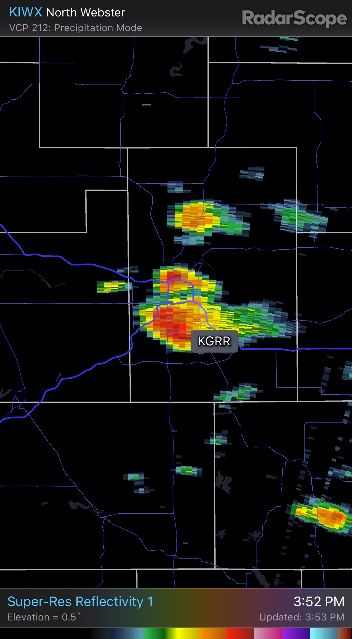
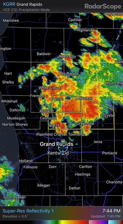
Yea. There’s the strip between I96 and RT 10 that got that training event last week, then there’s a lake breeze popup zone along and just east of 131. Between I96 and I94 and away from the lake breeze convergence zone that set up the last few afternoons its super dry still.
-
Worried its going straight back to CAD miss south stank pattern after this evening here. Boring summer.
-
Hope there is actually a solid rainfall up here too. This spotty afternoon popup stuff isn't completely cutting it.
-
On this side of the lake Holland to Muskegon is also still super dry, like bone dry dry. A lot of the shoreline north of Ludington is pretty dry as well . Most of the rain lately has been at least 20 miles inland, but there are also big dry holes in and around the Lansing area. Classic lake breeze pattern. Solid relief is all from I-94 south.
-
I keep getting localized afternoon downpours on the US-131 lake breeze. Picked up another unexpected 0.5” in about 15 minutes. Florida type downpour. New green grass is popping up, but mosquitos are out again too, unfortunately. Will be annoying for fireworks watching. The immediate lake shore has been missing out on rains though. Still need an MCS that shares the wealth more widely.
-
Still not widespread relief from 1-96 north. Lots of dry holes where scattered showers completely missed, especially close to the lakeshore.
-
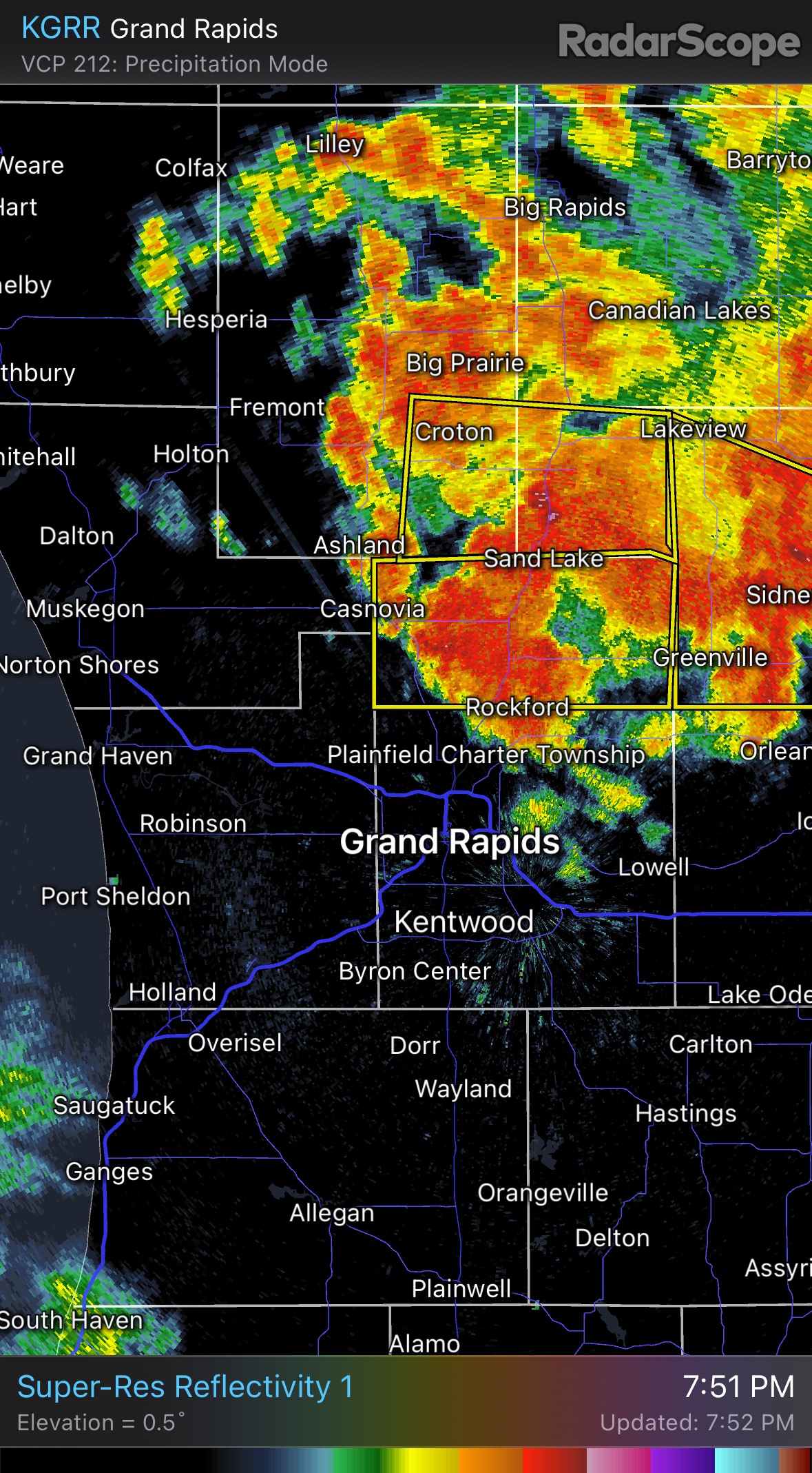
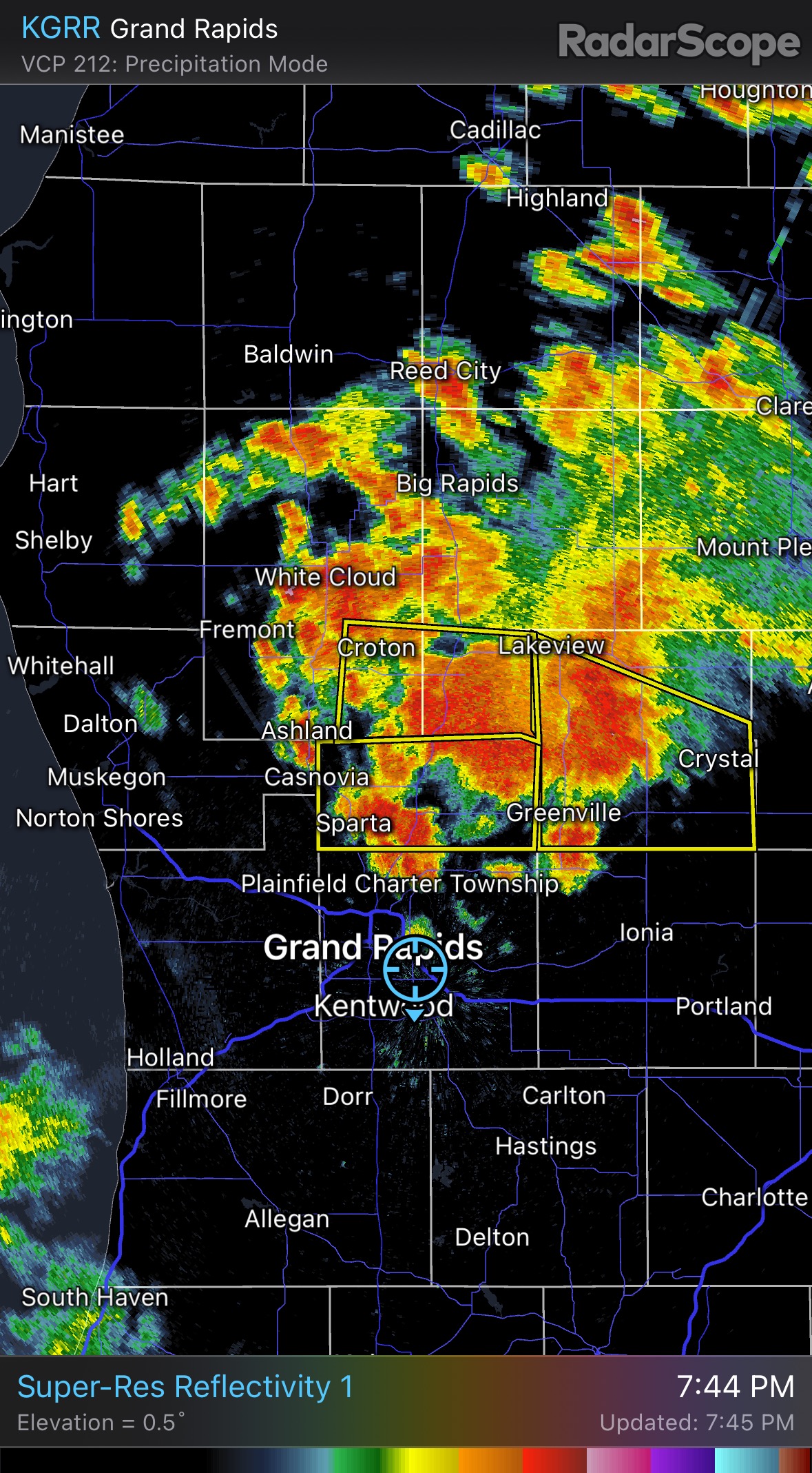
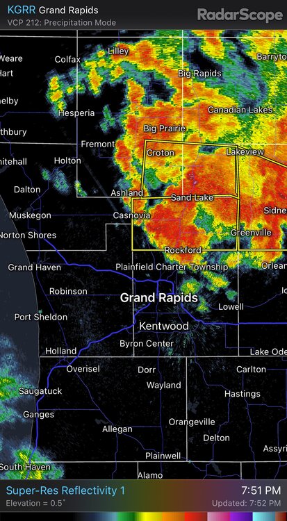
The drought maps need microscopic detail around here. Somehow it managed to rain almost 2 inches over the past 3 days IMBY. Ridiculously localized. Most places nearby still bone dry.
-
That isolated mini-cluster two nights ago bumped GRR way down the list for June dryness. I’m not gonna complain about bumped stats though. Not that kind of nerd.
-
Second slow moving microcell of the day.

-
The 2021 event was mostly east of me. Though I missed the severe winds and tornadoes that effected other parts of the state, I remember the last week of August and first week of September 2018 being impressive for the amount of CG lightning strikes.
-
That general complex did produce some scattered outages earlier on a little west of Greenville. There was a decent downburst when the initial discrete cell collapsed. I can't remember the last time it rained 5" in a single sitting IMBY. Maybe late April 2013. I don't know about 5", but there was definitely over 4" in a 24 hour period, on top of heavy rains over the previous two weeks as well. I remember I volunteered to fill sandbags the day before the river crest. It was snowing.
-
I got a 0.75" from a rogue cell just before midnight. Slow mover too. Pure luck.
-
Picked up about 0.75". I was just dozing off when that thing popped nearly overhead. Talk about unpredictable.
-
I got summertime equivalent of “mood flakes”. Mood thunder. Really humid feel with some dark clouds off in certain directions and rumblings far off in the distance. Major trolling.
-
Come on baby! Just backbuild one more time! Soo f*ing close.
-
Looks like outflow triggered microcell is all I get. With some luck. Just getting trolled at this point.
-
Its annoying not being able to make anything out due to the smoke. I’m hearing thunder but its so hazy.